


Circular hike featuring Alpine lakes
Characteristics
SkillThe tour in numbers
Level of difficulty
medium
Route
21,5 km
Time
9:00 h
Uphill
1403 hm
Downhill
1398 hm
Highest point
2146 m
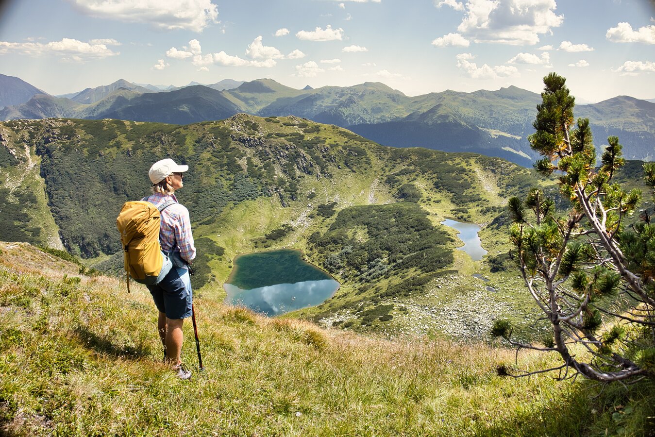
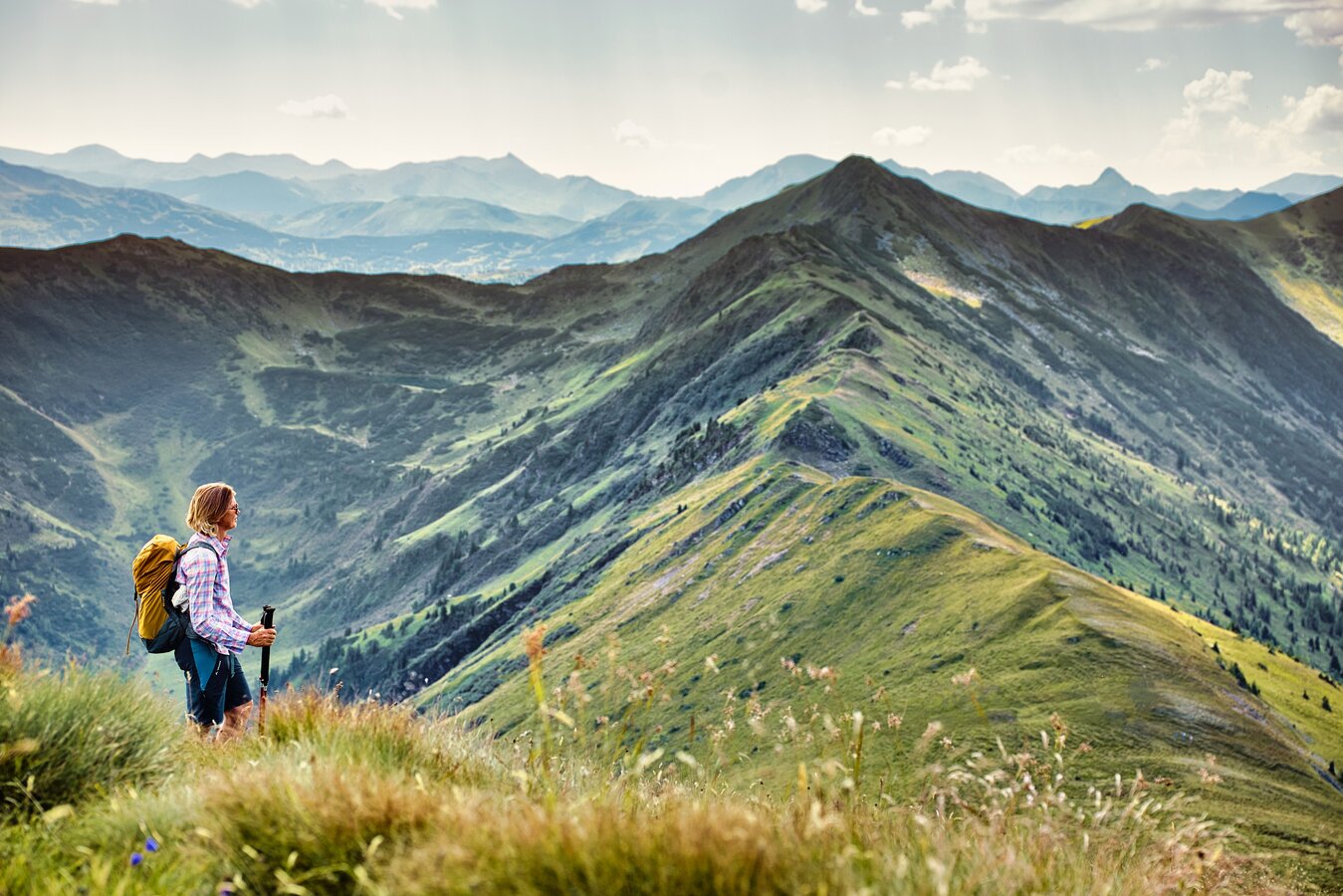
Alpine meadows, high plateaus, and mountain lakes appear like something out of a picture book on this long hike
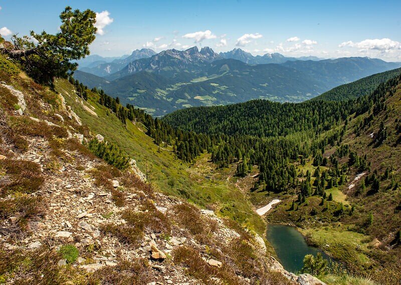
A long but rewarding hike for experienced hikers. The highlights are the three stunning alpine lakes, which lie crystal-clear on idyllic plateaus.
Best season
January
February
March
April
May
June
July
August
September
October
November
December
More information
Take the A9 Phyrn Expressway to the Rottenmann exit, then continue on the B113 toward “Oppenberg.” In Oppenberg, keep left and follow the signs to the sports field on Winklerstraße.
Parking Space Sportplatz
Parking Space Sportplatz
Signposted: Seekoppe – Hochgrössen – Oppenberg Loop Hike
From the “Sportplatz” parking lot, we set off northward along the Sägewerkweg trail beside the Gulling River. After just a short while, the road turns into a forest trail and winds its way up the increasingly steep north-facing slope in several long switchbacks.
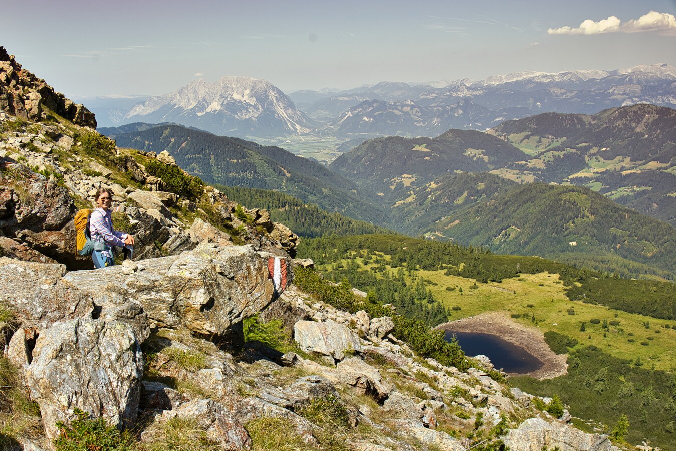
At 1,400 meters above sea level, we turn right onto the hiking trail, which—steep at first, then somewhat flatter—leads to the Steinkarsee at Trschöschmitzboden. Of course, we’ll stop to visit this idyllic mountain lake before tackling the next 350 meters of elevation gain and heading for the summit of Hochgrößen (2,115 m). The sweeping views are our constant companions along the way!
From Hochgrößen, the trail continues to the Riednertörl (1,935 m) and then climbs once more to the Seekoppe (2,150 m).
From here on, it’s all downhill! We descend the eastern slope to the Upper Riednersee and then to the larger, lower-lying Riednersee.
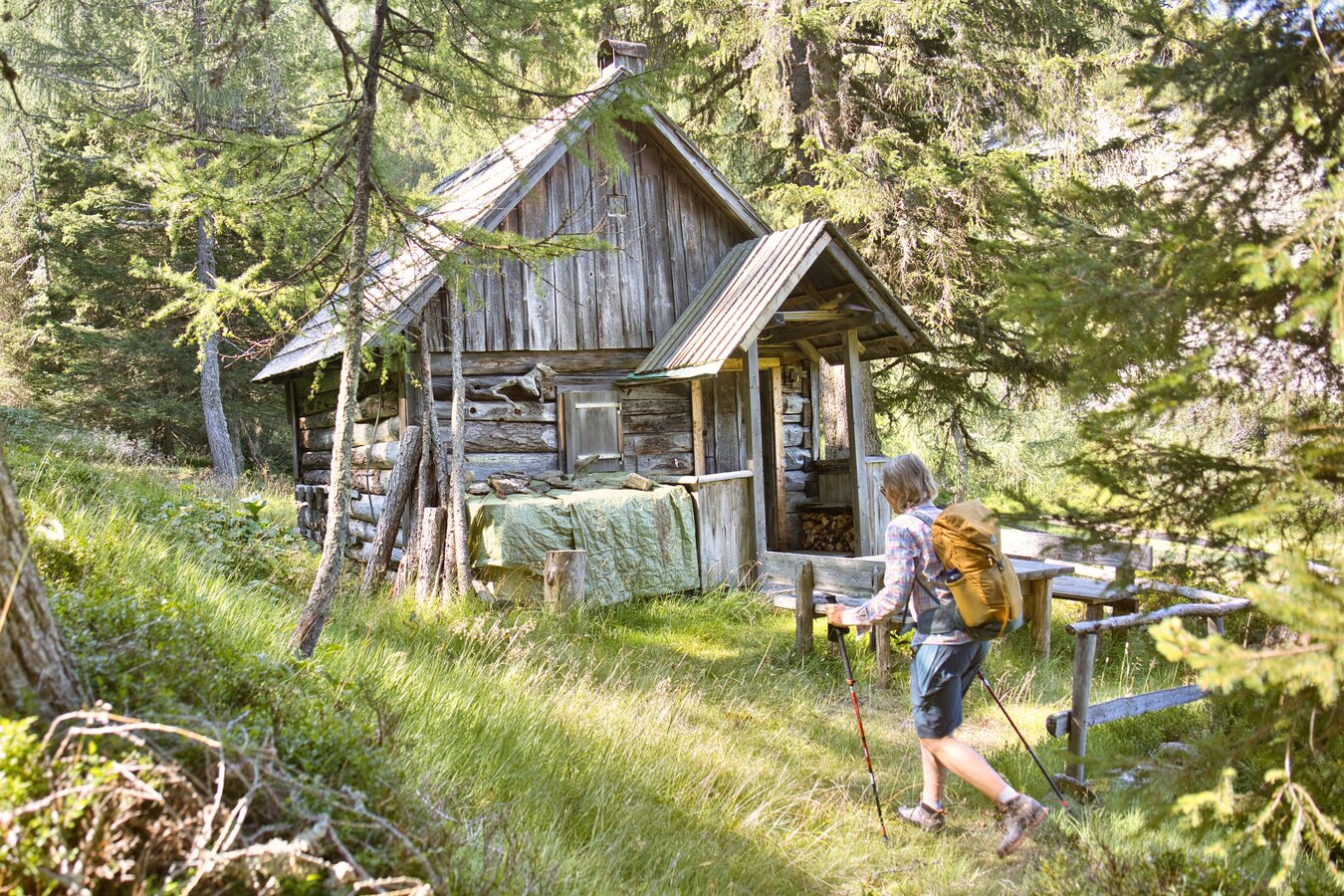
From the lake, the trail continues downhill and crosses the Riednerbach stream twice before we hike along the stream, through the forest, and across mountain meadows into the valley.
Passing the Gewürzalm, we rejoin the road at the Gewürzalm parking lot. There, we turn left and, after a good 2 kilometers, reach the Sportplatz parking lot again.
Translated with DeepL.com (free version)
From the “Sportplatz” parking lot, we set off northward along the Sägewerkweg trail beside the Gulling River. After just a short while, the road turns into a forest trail and winds its way up the increasingly steep north-facing slope in several long switchbacks.
At 1,400 meters above sea level, we turn right onto the hiking trail, which—steep at first, then somewhat flatter—leads to the Steinkarsee at Trschöschmitzboden. Of course, we’ll stop to visit this idyllic mountain lake before tackling the next 350 meters of elevation gain and heading for the summit of Hochgrößen (2,115 m). The sweeping views are our constant companions along the way!
From Hochgrößen, the trail continues to the Riednertörl (1,935 m) and then climbs once more to the Seekoppe (2,150 m).
From here on, it’s all downhill! We descend the eastern slope to the Upper Riednersee and then to the larger, lower-lying Riednersee.
From the lake, the trail continues downhill and crosses the Riednerbach stream twice before we hike along the stream, through the forest, and across mountain meadows into the valley.
Passing the Gewürzalm, we rejoin the road at the Gewürzalm parking lot. There, we turn left and, after a good 2 kilometers, reach the Sportplatz parking lot again.
Translated with DeepL.com (free version)
Sturdy hiking boots or good trekking shoes
Hiking backpack
Water bottle
First aid kit including blister plasters
Hiking map and smartphone
Snacks
Sunglasses
Sunscreen
You should also be well prepared for changeable weather.
Packing your backpack correctly makes things much easier:
Pack heavy items first. Your water bottle should always be easily accessible in a side pocket. Everything you need frequently, such as sunglasses, your smartphone, or hiking map, should be packed on top.
Hiking backpack
Water bottle
First aid kit including blister plasters
Hiking map and smartphone
Snacks
Sunglasses
Sunscreen
You should also be well prepared for changeable weather.
Packing your backpack correctly makes things much easier:
Pack heavy items first. Your water bottle should always be easily accessible in a side pocket. Everything you need frequently, such as sunglasses, your smartphone, or hiking map, should be packed on top.
With the Verbundlinie BusBahnBim app, finding timetable information has never been easier: all bus, train, and tram connections in Austria can be searched for by entering locations and/or addresses, stops, or important points. The app is available as a free app for smartphones (Android, iOS) on Google Play and in the App Store.
BusBahnBim – Apps bei Google Play
Mobil vor Ort in der Steiermark unterwegs | steiermark.com
BusBahnBim – Apps bei Google Play
Mobil vor Ort in der Steiermark unterwegs | steiermark.com
Gesäuse Tourism Association
Hauptstraße 35, 8911 Admont, Austria
t: +43 3613 2116010
www.gesaeuse.at
Email: info@gesaeuse.at
Hauptstraße 35, 8911 Admont, Austria
t: +43 3613 2116010
www.gesaeuse.at
Email: info@gesaeuse.at
Map & downloads
Gallery
hochgroessen_seekoppe_riednersee_cweges_10.jpg | © Weges | © Weges
1/6
themenweg-weltreligionen_c-christian_scheucher_tvg_10.jpg |
2/6
hochgroessen_seekoppe_riednersee_cweges_1.jpg | © Weges
3/6
hochgroessen_seekoppe_riednersee_cweges_2.jpg | © Weges
4/6
hochgroessen_seekoppe_riednersee_cweges_5.jpg | © Weges
5/6
hochgroessen_seekoppe_riednersee_cweges_7.jpg | © Weges
6/6

What the weather will be like Rottenmann (672m)
Today, 18.10.2026
Early clouds will gradually clear to leave the region with a dry and sunny day.Morning

8°C
sr.Regenwahrscheinlichkeit
0%
sr.Windstärke
0 km/h
Noon

17°C
sr.Regenwahrscheinlichkeit
0%
sr.Windstärke
10 km/h
Night

11°C
sr.Regenwahrscheinlichkeit
0%
sr.Windstärke
5 km/h
Tomorrow, 19.10.2026
Dry and bright with plenty of sunshine, clouds will be rare.Morning
6°C
sr.Regenwahrscheinlichkeit
0%
sr.Windstärke
0 km/h
Noon
14°C
sr.Regenwahrscheinlichkeit
0%
sr.Windstärke
5 km/h
Night

9°C
sr.Regenwahrscheinlichkeit
0%
sr.Windstärke
5 km/h
Forecast
20.10.2026
6°C
16°C
21.10.2026

7°C
16°C
22.10.2026
4°C
10°C
