


Stage 14 From Glacier to Wine South Route Tonnerhütte Zirbitzkogel - Obdach
Characteristics
SkillThe tour in numbers
Level of difficulty
medium
Route
17,0 km
Time
7:00 h
Uphill
817 hm
Downhill
1530 hm
Highest point
2394 m
This stage leads to one of the most beautiful viewpoints in the Eastern Alps: the Zirbitzkogel. Crossing this striking summit in the Seetaler Alps, the route leaves the Zirbitzkogel-Grebenzen Nature Park and enters the Zirbenland region. The stage concludes in the idyllic market town of Obdach, home to former alpine ski racer and three-time world champion Renate Götschl.
The Zirbe (Swiss stone pine) gives the Zirbenland region both its name and much of its distinctive character. This remarkable tree species has been native to the Alpine region since the end of the last Ice Age and, thanks to its resilience and adaptability, is often referred to as the "Queen of the Alps".
Swiss stone pine is the lightest of all native conifer species and is easily recognised by its characteristic dark knots and beautifully grained wood. Owing to its unique properties, it has long been valued as a material for furniture, interior design, and traditional Alpine craftsmanship.
In addition, Swiss stone pine is widely appreciated for its pleasant aroma and is often associated with a sense of well-being and relaxation, making it a popular choice for bedrooms, wellness areas, and mountain lodges throughout the Alps.
Best season
January
February
March
April
May
June
July
August
September
October
November
December
More information
Detailed information on how to get to can be found here.
There is a parking lot for hikers at the Tonnerhütte.
Before setting off, it is worth asking the host for recommendations along the route – he is sure to have a useful tip for every hiker.
From the very beginning, this stage of the Hiking Trail From Glacier to Wine climbs steadily towards the Zirbitzkogel, with a stop at the mountain shelter located just 20 metres below the summit cross. Through a section of forest, across alpine meadows, and along a short stretch of forest road, we soon reach the Herterhöhe, a beautiful viewpoint overlooking the mountains of the Murtal. The viewing platform invites hikers to take a first short break, although the summit of the Zirbitzkogel is still waiting ahead.
Continuing straight on, the trail climbs above the tree line to the ridge. From there, only a few more metres lead to the Zirbitzkogel at 2,396 metres above sea level and its mountain shelter (Tel. +43 664 9140283), located just below the summit.
Interestingly, the mountain's name is not derived from the Swiss stone pine, as is often assumed, but from the Slovenian word zirbiza, meaning "red alpine pasture". The name refers to the widespread rusty-leaved alpine rose that grows in the area. The Zirbitzkogel is not only part of the Zirbitzkogel-Grebenzen Nature Park, but also forms part of a Natura 2000 protected area.
After enjoying the summit and a well-deserved break at the shelter, the route continues westwards along Trail 320 to the Waldheimhütte (Tel. +43 3578 8205). This popular mountain hut can also be reached from Obdach via a scenic panoramic road.
The remainder of the stage leads through beautiful alpine meadows, past idyllic farmsteads, and through shady forests that provide welcome relief during the height of summer, before arriving in Obdach, today's stage destination.
At the tourist information office, hikers can also gather tips and information for the following stage, which continues to the Salzstiegl.
Emergency call mountain rescue: 140
Tips when reporting an emergency – Answer these six WH questions: What happened? How many people are injured? Where did the accident happen (are there GPS coordinates)? Who is reporting the incident (callback number)? When did the accident happen? What is the weather like at the site of the incident?
Proper backpack packing makes many things easier: Pack heavy things first. The water bottle should always be within reach in a side pocket. All the things that are often needed, such as sunglasses, camera or hiking map, belong on top. An emergency kit, including blister plasters, belongs in every rucksack and it is always advisable to dress in layers.Accessible by
train and bus: detailed information about arriving by ÖBB (Austrian Federal
Railways) can be found at www.oebb.at or
on the Verbundlinie Steiermark website www.busbahnbim.at
With
Verbundlinie’s BusBahnBim route planner app, planning your journey
has never been easier: simply enter towns and/or addresses, stop names or
points of interest to check all bus, train and tram connections in Austria. The
app is available free of charge for smartphones – on Google Play and in the App
Store
Steiermark Tourismus, Tel. +43 316 4003
www.steiermark.com
Kompass WK219 Lavanttal, Saualpe, Koralpe www.kompass.at
Freytag & Berndt WK212 Seetaler Alpen · Seckauer Alpen · Judenburg · Knittelfeld www.freytagberndt.at
Map & downloads
Gallery
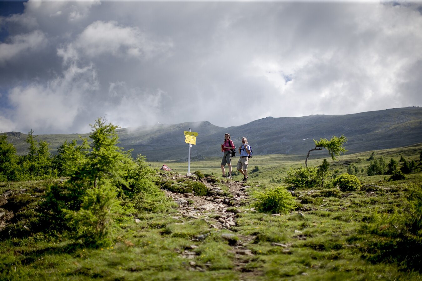
zirbitzkogel-steiermark-tourismus-tom-lamm.jpg | © Steiermark Tourismus | Tom Lamm
1/7

Wanderroute "Vom Gletscher zum Wein" | Weitwanderweg Steiermark | © Steiermark - Das Grüne Herz
2/7
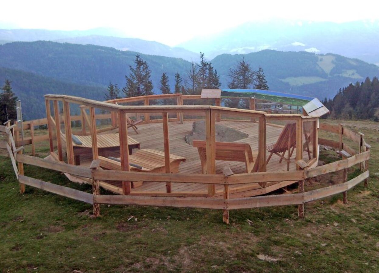
Panorama Herterhöhe | © Tourismusverband Region Murau | Tourismusverband Region Murau
3/7
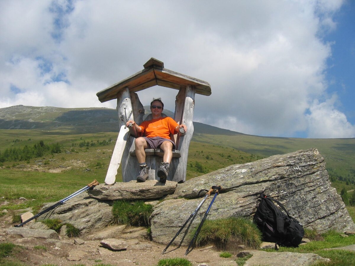
Rastplatz am Fuße des Zirbitzkogel | © Steiermark Tourismus | Günther Steininger
4/7
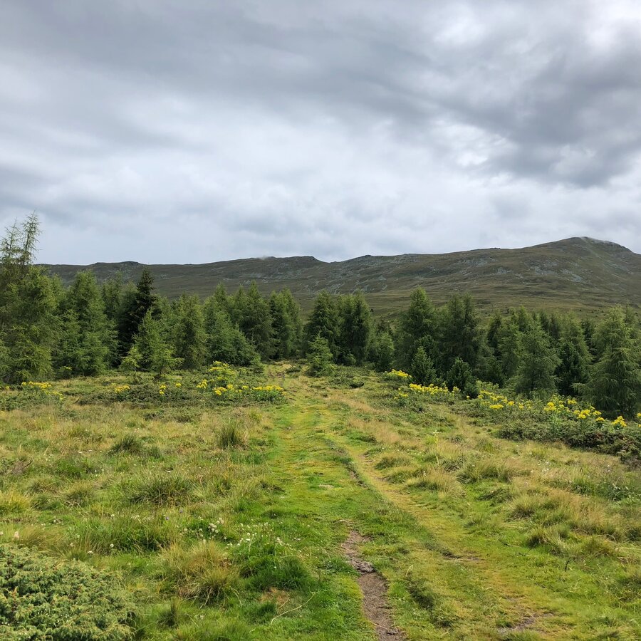
Aufstieg zum Zirbitzkogel | © Steiermark Tourismus | Martina Traisch
5/7
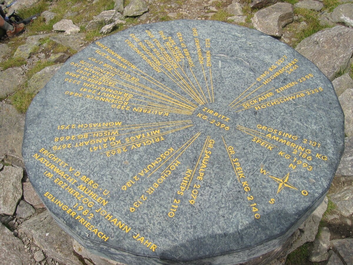
Orientierungstafel am Gipfel des Zirbitzkogel | © Steiermark Tourismus | Günther Steininger
6/7
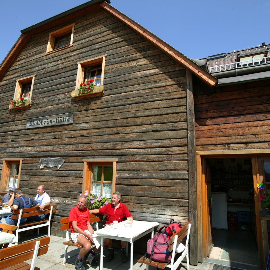
Waldheimhütte | © Harry Schiffer - www.photodesign.at | Bernd Pfandl
7/7

What the weather will be like Mühlen (961m)
Today, 23.10.2026
The day starts sunny, but will be partly cloudy in the afternoon.Morning

-1°C
sr.Regenwahrscheinlichkeit
0%
sr.Windstärke
5 km/h
Noon

9°C
sr.Regenwahrscheinlichkeit
0%
sr.Windstärke
10 km/h
Night

5°C
sr.Regenwahrscheinlichkeit
0%
sr.Windstärke
5 km/h
Tomorrow, 24.10.2026
Heavy rain in the morning, drying up in the afternoon.Morning

3°C
sr.Regenwahrscheinlichkeit
75%
sr.Windstärke
5 km/h
Noon

6°C
sr.Regenwahrscheinlichkeit
70%
sr.Windstärke
10 km/h
Night
2°C
sr.Regenwahrscheinlichkeit
40%
sr.Windstärke
5 km/h
Forecast
25.10.2026

-1°C
7°C
26.10.2026
1°C
11°C
27.10.2026
0°C
13°C
