


Stage 13 From Glacier to Wine South Route Neumarkt - Tonnerhütte Zirbitzkogel
Accessible by public transport- Train (within 15 minutes walking distance from starting point)
- Public bus (within 15 minutes walking distance from starting point)
Characteristics
SkillThe tour in numbers
Level of difficulty
medium
Route
20,3 km
Time
7:00 h
Uphill
869 hm
Downhill
116 hm
Highest point
1588 m
This stage of the Hiking Trail From Glacier to Wine in the Zirbitzkogel-Grebenzen Nature Park leads to the Tonnerhütte, situated at the foot of the Zirbitzkogel. As on the previous stage, sections of the route follow the Via Natura, a 130-kilometre long-distance hiking trail that traverses the entire Zirbitzkogel-Grebenzen Nature Park.
Where hiking expertise feels at home – this is perhaps the best way to describe the idyllic village of Mühlen, nestled at the foot of the Zirbitzkogel.
As a founding member of the Austrian Hiking Villages network, Mühlen is renowned for its commitment to hiking and outdoor experiences. Here, excellent service for hikers is not only a priority but is delivered with genuine passion and warm hospitality.
In addition to guided hikes to the Zirbitzkogel, visitors can explore themed trails inspired by the fairy tale "Hans im Glück" and the unique Hörfeld Moor. The village also offers multi-day hut-to-hut hikes, a hiking taxi, equipment rental services, and many other amenities designed to make a hiking holiday as enjoyable and convenient as possible.
Best season
January
February
March
April
May
June
July
August
September
October
November
December
More information
Detailed information on how to get to Neumarkt can be found here.
There are plenty of parking spaces available in St. Marein bei Neumarkt.
From St. Marein bei Neumarkt, this stage of the Hiking Trail From Glacier to Wine initially follows the cycle path for a short distance southwards towards St. Veit in der Gegend. At the St. Georgener Bach, we turn left and continue gently uphill through a landscape of fields, meadows, and small, well-kept hamlets and farmsteads until reaching the idyllic village of St. Veit.
The route then continues towards the hiking village of Mühlen at the foot of the Zirbitzkogel. Shortly before reaching the village, hikers can make a worthwhile detour to the beautifully situated bathing pond and adjoining campsite. Notably, this was the first campsite in Austria to be awarded the Austrian Hiking Quality Seal.
From the centre of Mühlen, where the "NatureLese-Island" dedicated to the theme "Working in Harmony with Nature" can be found, we walk approximately 100 metres northeast to the junction of the roads leading towards Jakobsberg, Tonnerhütte, Noreia, and Mondorf.
From here, we follow the gently ascending road towards Noreia until reaching the turn-off to Greith. Continuing onwards, we arrive at the junction of trails 3, 4, and 5, as well as the Mühlradl Hiking Trail near Haus Egger.
Beautiful views open up across Mühlen, Hitzmannsdorf, and Jakobsberg on the opposite side of the valley, with the peaks of the Wölzer Tauern visible in the distance. The trail then climbs steadily past the Schnedl farmstead and extensive mountain pastures, always accompanied by magnificent views of the Zirbitzkogel, until reaching the Übelbacher Hütte.
Keeping right, we continue for a little over 2 kilometres to our stage destination, the Tonnerhütte (Tel. +43 3586 30077), situated at 1,600 metres above sea level.
The hut's spectacular panoramic setting is complemented by a warm and welcoming atmosphere, cosy Swiss stone pine rooms, an alpine wellness area featuring a pine bath and panoramic pine saunas, as well as excellent regional cuisine prepared from local ingredients and traditional alpine specialities.
It is the perfect place to relax and recharge before the next stage, which crosses the Zirbitzkogel and continues to Obdach in the Zirbenland region.
Emergency call mountain rescue: 140
Tips when reporting an emergency – Answer these six WH questions: What happened? How many people are injured? Where did the accident happen (are there GPS coordinates)? Who is reporting the incident (callback number)? When did the accident happen? What is the weather like at the site of the incident?
Proper backpack packing makes many things easier: Pack heavy things first. The water bottle should always be within reach in a side pocket. All the things that are often needed, such as sunglasses, camera or hiking map, belong on top. An emergency kit, including blister plasters, belongs in every rucksack and it is always advisable to dress in layers.Accessible by
train and bus: detailed information about arriving by ÖBB (Austrian Federal
Railways) can be found at www.oebb.at or
on the Verbundlinie Steiermark website www.busbahnbim.at
With
Verbundlinie’s BusBahnBim route planner app, planning your journey
has never been easier: simply enter towns and/or addresses, stop names or
points of interest to check all bus, train and tram connections in Austria. The
app is available free of charge for smartphones – on Google Play and in the App
Store
Steiermark Tourismus, Tel. +43 316 4003
www.steiermark.com
Kompass WK219 Lavanttal, Saualpe, Koralpe www.kompass.at
Freytag & Berndt WK211 Naturpark Zirbitzkogel ·Grebenzen · Murau · Sölkpass www.freytagberndt.at
Map & downloads
Gallery
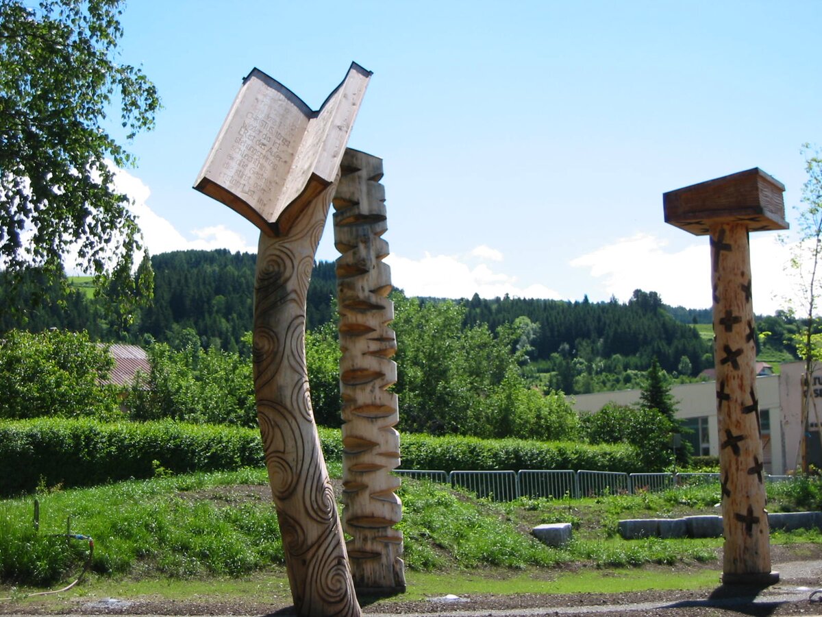
NaturLesePark - Skulpturen | © Tourismusverband Region Murau | Tourismusverband Region Murau
1/4

Wanderroute "Vom Gletscher zum Wein" | Weitwanderweg Steiermark | © Steiermark - Das Grüne Herz
2/4
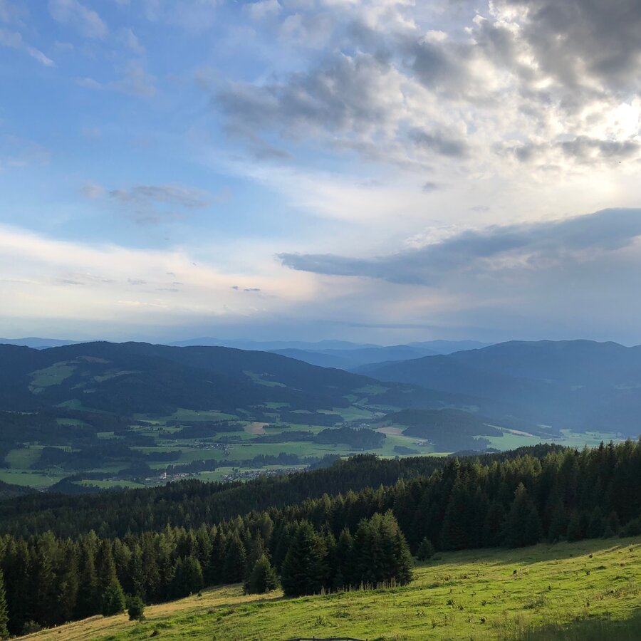
Blick auf den Naturpark Zirbitzkogel-Grebenzen | © Steiermark Tourismus | Martina Traisch
3/4
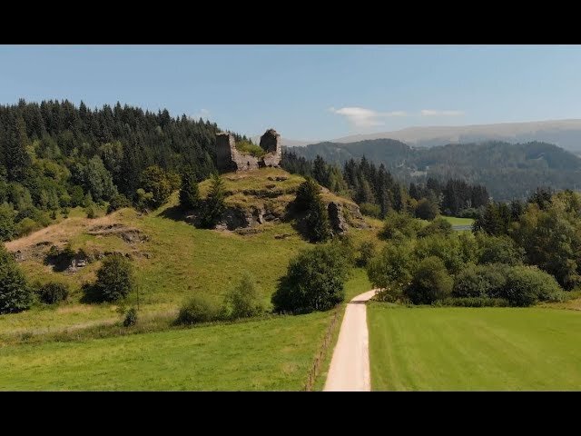
Wanderdorf Mühlen - Schönheiten der Natur | © Österreichs Wanderdörfer
4/4

What the weather will be like Neumarkt in der Steiermark (834m)
Today, 23.10.2026
The day starts sunny, but will be partly cloudy in the afternoon.Morning

0°C
sr.Regenwahrscheinlichkeit
0%
sr.Windstärke
5 km/h
Noon

10°C
sr.Regenwahrscheinlichkeit
0%
sr.Windstärke
10 km/h
Night

5°C
sr.Regenwahrscheinlichkeit
0%
sr.Windstärke
5 km/h
Tomorrow, 24.10.2026
Rainfall will end around noon, then the clouds will break up.Morning

3°C
sr.Regenwahrscheinlichkeit
75%
sr.Windstärke
5 km/h
Noon

6°C
sr.Regenwahrscheinlichkeit
75%
sr.Windstärke
10 km/h
Night
2°C
sr.Regenwahrscheinlichkeit
40%
sr.Windstärke
5 km/h
Forecast
25.10.2026

-1°C
8°C
26.10.2026
1°C
12°C
27.10.2026
1°C
13°C
