


Snowshoe hike Reinischkogel
Characteristics
SkillThe tour in numbers
Level of difficulty
medium
Route
10,5 km
Time
3:50 h
Uphill
480 hm
Downhill
480 hm
Highest point
1450 m
Follow in the footsteps of the glassblowers on snowshoes to the mountain chapel.
This snowshoe hike takes you mainly through the forest and offers a delightful surprise in the form of a beautiful view near the summit of the Reinischkogel, where a wooden chapel with a peace bell stands. Summary: A themed snowshoe hike in the Schilcherland region. We start from the car park at the Berggasthof Klugbauer, 1059 m. We follow hiking trail no. 551, which passes by there, to a junction where we turn right towards the Reinischkogel and the Waldglashütte Museum. We follow the Klugveitl Cross and pass the Lochstein on our way to the Kaltenbrunner Cross. From there, it’s just a few minutes to the summit cross, which is situated just below the summit of the Reinischkogel. The descent route is initially the same as the ascent route, until a wooden sign in a clearing points to the right towards Klugveitl and Sauerbrunn. We follow this path (No. 571) – passing the former Klugveitl mountain inn (5), 1,153 m – back to our starting point.
Best season
January
February
March
April
May
June
July
August
September
October
November
December
More information
Coming from Graz via the A9, take the A2 towards Klagenfurt at the Graz-West motorway junction. Take the Lieboch exit and follow the B76 towards Lannach-Schlieb-St. Stefan ob Stainz.
Car park at the Berggasthof-Hotel Klugbauer.
Car park at the Berggasthof-Hotel Klugbauer.
Wir starten vom Parkplatz beim Berggasthof Klugbauer (1), 1059 m. Auf dem dort vorbeiführenden Wanderweg Nr. 551 wandern wir bis zu einer Wegkreuzung, bei der wir rechts in Richtung Reinischkogel und Museum Waldglashütte abbiegen. Kurz danach zweigt der Weg zum Museum Waldglashütte (2), 1130 m, ab. Nach diesem kleinen Abstecher kehren wir wieder auf unseren Wanderweg 551 zurück. Ihm folgen wir nun, am Klugveitl-Kreuz (3), 1281 m, und am Lochstein vorbei, bis zum Kaltenbrunner Kreuz. Von dort sind wir in ein paar Minuten beim Gipfelkreuz, das sich wenig unterhalb vom Gipfel des Reinischkogels (4), 1450 m, befindet. Neben dem schönen Ausblick in das Grazer Bergland und das weststeirische Hügelland lädt uns die Bergkapelle zu einem Besuch und einer Pause ein. Die Abstiegsroute ist zunächst gleich wie die Aufstiegsroute, bis auf einer Lichtung eine Holztafel nach rechts in Richtung Klugveitl, Sauerbrunn weist. Diesem Weg Nr. 571 folgen wir - beim ehemaligen Almgasthof Klugveitl (5), 1153 m, vorbei - bis zu unserem Ausgangspunkt.
A small rucksack with a water bottle, good winter walking boots and winter clothing, Nordic walking poles, sun cream, mobile phone, and a detailed map or hiking guide for the route.
Please take into account your own fitness level, the weather forecast and the current opening hours of the refreshment stops. We cannot accept any liability for the accuracy of the information provided.
Please take into account your own fitness level, the weather forecast and the current opening hours of the refreshment stops. We cannot accept any liability for the accuracy of the information provided.
The Waldglashütte Museum, which is open all year round and can be reached via a short detour on our walk, gives us an insight into glass production in those days. The museum is situated on the site of a former glassworks, where the ruins of the melting and cooling furnaces can still be seen.
Many starting points for our hikes in southern Styria can also be reached by public transport.
For a relaxed and sustainable journey, we recommend travelling by bus and train wherever possible. Depending on the region, additional local transport options are available.
This allows you to start your tour stress-free while also contributing to climate and nature conservation.
All information on public transport,
local mobility services and timetables can be found at: www.suedsteiermark.com/arrival
Nearest train stations are: Lannach, Frauental or Deutschlandsberg.
Information offices:
Stainz Tourist Office, Tel.: +43 (5) 7730 710, 8510 Stainz, Hauptplatz 1
South Styria Tourist Association, Tel.: +43 (5) 7730, 8530 Deutschlandsberg, Hauptplatz 40
Map & downloads
Gallery
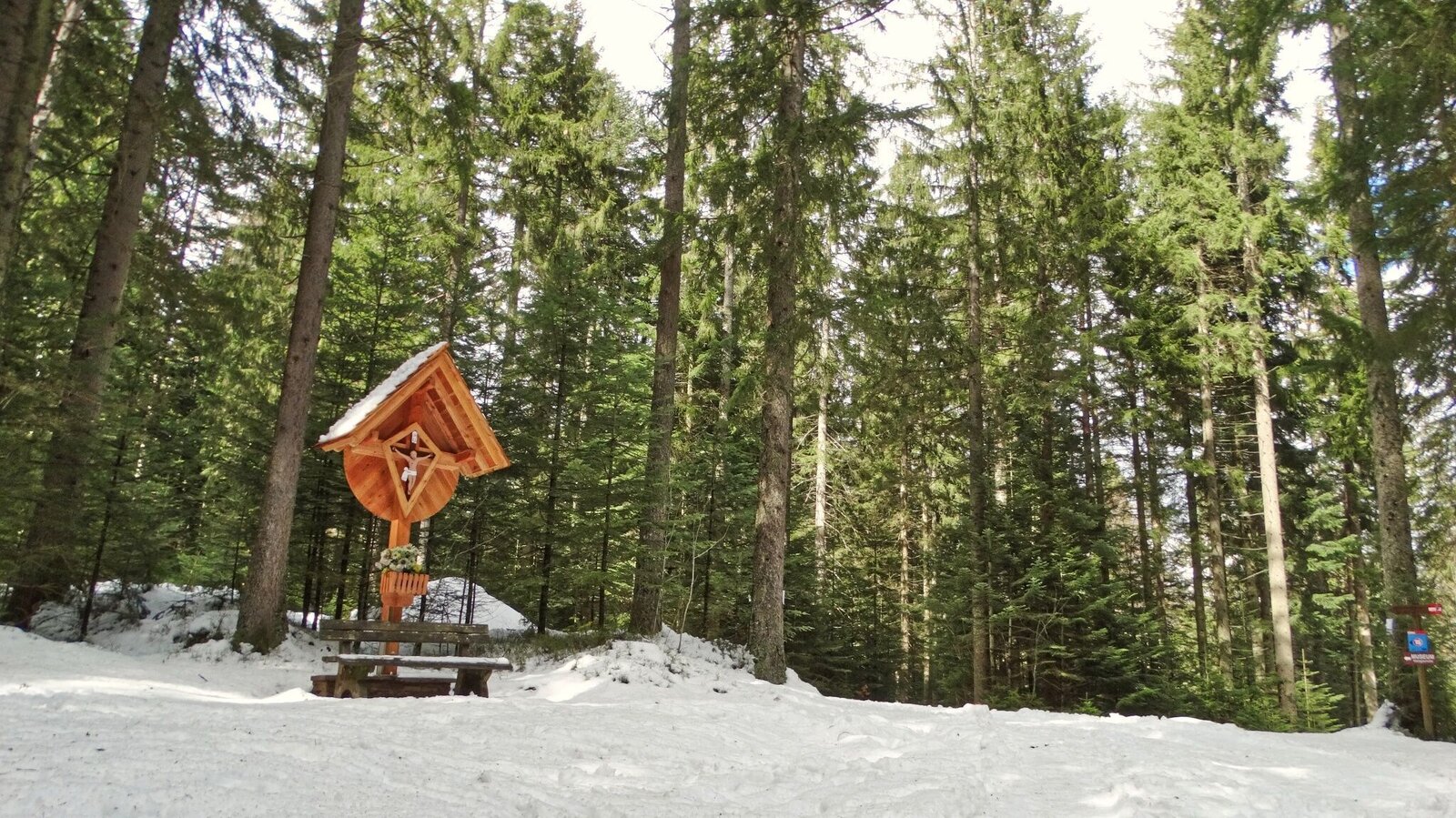
Wegkreuz | © Weges OG | Weges OG
1/5
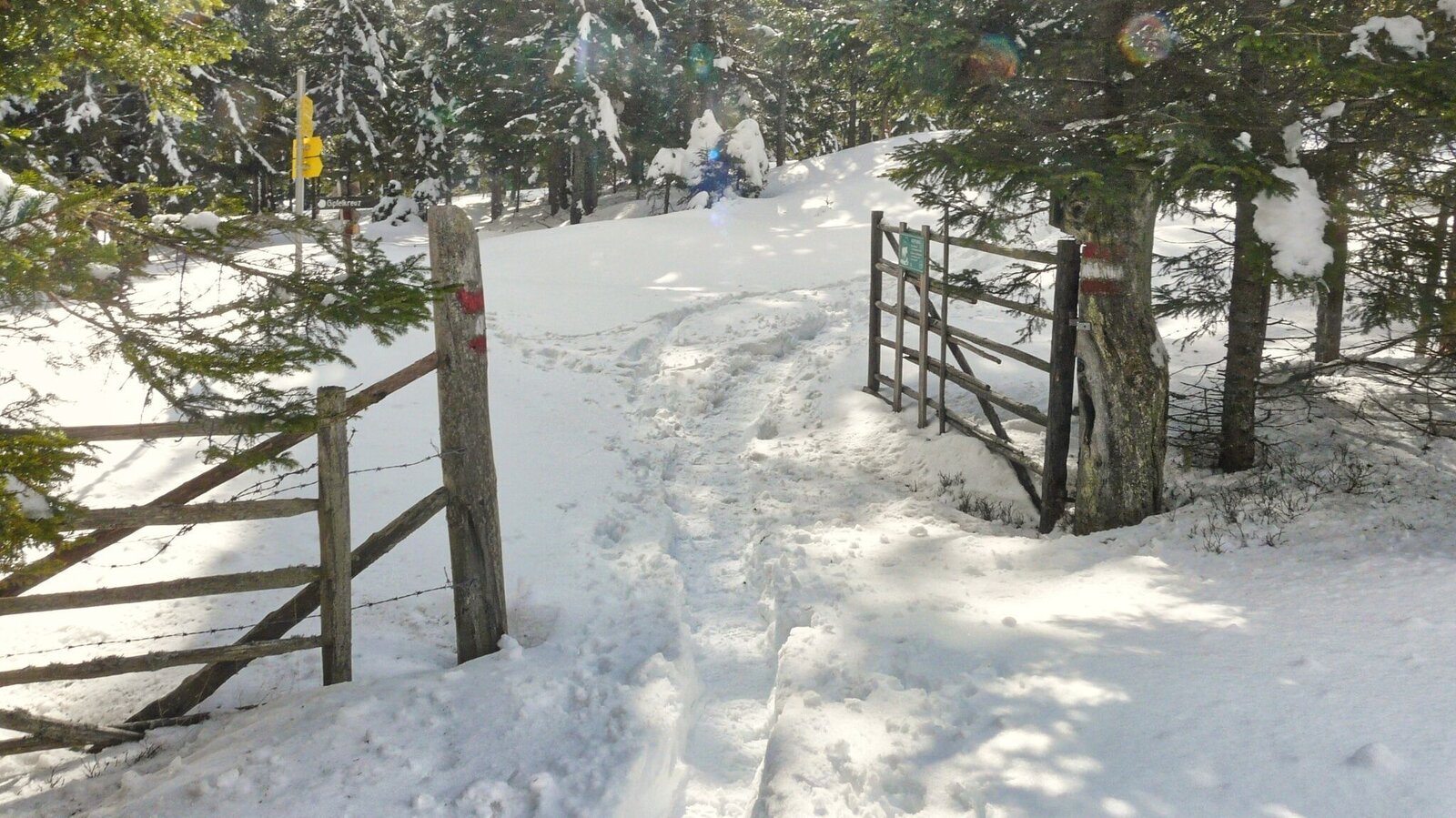
Verschneiter Weg | © Weges OG | Weges OG
2/5

Verschneite und eingewehte Forstwege im Aufstieg | © Weges OG | Weges OG
3/5
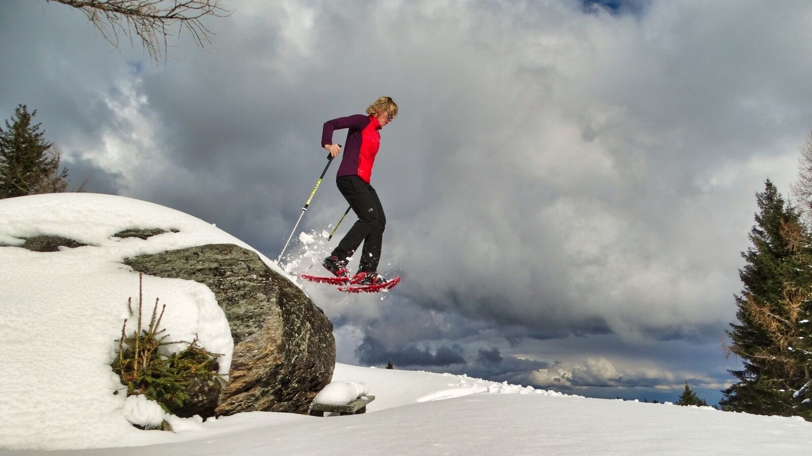
Winterspaß am Reinischkogel | © Weges OG | Weges OG
4/5

Gipfelkreuz am Reinischkogel | © Weges OG | Weges OG
5/5

What the weather will be like St. Stefan ob Stainz (401m)
Today, 25.10.2026
Mostly cloudy through the day with a chance of occasional sunny spells.Morning

1°C
sr.Regenwahrscheinlichkeit
0%
sr.Windstärke
0 km/h
Noon

10°C
sr.Regenwahrscheinlichkeit
5%
sr.Windstärke
5 km/h
Night

7°C
sr.Regenwahrscheinlichkeit
35%
sr.Windstärke
5 km/h
Tomorrow, 26.10.2026
The day starts sunny, but will be partly cloudy in the afternoon.Morning

3°C
sr.Regenwahrscheinlichkeit
5%
sr.Windstärke
0 km/h
Noon
13°C
sr.Regenwahrscheinlichkeit
10%
sr.Windstärke
5 km/h
Night
6°C
sr.Regenwahrscheinlichkeit
0%
sr.Windstärke
0 km/h
Forecast
26.10.2026
2°C
15°C
27.10.2026
2°C
13°C
28.10.2026
2°C
14°C
