


Hubertuskappelen path
Characteristics
SkillThe tour in numbers
Level of difficulty
medium
Route
8,3 km
Uphill
251 hm
Downhill
256 hm
Highest point
879 m
A peaceful hiking trail with wonderful views of Masenberg and Wechsel.
This hiking trail takes us from the center of Vorau via Riegersbach to the Brennerwirt inn. It continues over a small hill to the Hubertus Chapel on the Forster Höhe. Once you arrive at this small forest clearing with a rest area, you can breathe in the fresh forest air and listen to the birds singing. It is a very peaceful place to reflect. On the way back, you pass the Krogger Chapel. At a nearby crossroads, keep right towards Vorau and walk straight ahead past the Milchrahm farm into the forest behind it. Once you reach a hill, continue walking through meadows and you will see the Vorau market below. Walk along the asphalt road into the village.
Best season
January
February
March
April
May
June
July
August
September
October
November
December
More information
A2 Pinggau/Friedberg exit: B54 Wechselbundesstraße Rohrbach/Vorau exit. Continue towards Vorau.
- We start at the town hall in Vorau and walk through the narrow alleyway past the former Rechberger inn towards the cold storage facility.
- We climb up to a housing estate and follow the trail below the estate until we reach the Brennerwirt inn, owned by the Rechberger family, via meadow paths.
- There we can recharge our batteries and take a break to enjoy the beautiful view of the Vorau market and the Masenberg.
- We continue our hike up the asphalt road to Forster Höhe.
- Along the hiking trail, we have an impressive view of the Wechsel and Burgenland, all the way to the Hungarian lowlands.
- We continue straight ahead, past houses and farms, until we come to a small clearing.
- There we find the pretty Hubertus Chapel with a small rest area. Every year, an open-air mass for believers is held there.
- We return to the junction for Bruck an der Lafnitz. We walk down the asphalt road until we come to a small chapel, the so-called Krogger Chapel
- Continue down the road and turn right at the next intersection.
- This will take you to the Milchrahm farm. Turn into the farm, cross the farmyard, and walk into the forest behind it.
- Follow this forest path uphill. At the top, you will come to a residential area. From here, you can already see the market town of Vorau.
- We follow the hiking trail and turn left. A little further down, we turn right at the next intersection and walk along the small road.
- We cross the main road and turn into the former sports field towards Vorau.
- We walk down the small Parkgasse, past the town hall park, and arrive back at the town hall of Vorau.
Mobility Eastern Styria with shared taxi SAM Find out about maps, hiking brochures and other tour tips at the tourist office. You can also order information material on our website from the comfort of your own home.
Timetables and travel information can be found at Österreichische Bundesbahnen (ÖBB) or at Verkehrsauskunft Verbundlinie. For local transportation we recommend the SAM-Sammeltaxi Oststeiermark.
You
can find information about the region, places to stop and stay overnight,
excursion destinations, etc. here:
Eastern Styria Tourism Association
Joglland-Waldheimat office
8255 St. Jakob im Walde
Tel.: 03336/20255
www.joglland.at
www.oststeiermark.com
Current weather
Eastern Styria Tourism Association
Joglland-Waldheimat office
8255 St. Jakob im Walde
Tel.: 03336/20255
www.joglland.at
www.oststeiermark.com
Current weather
Map & downloads
Gallery
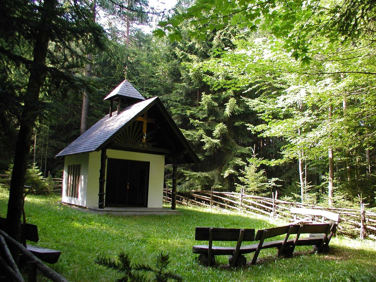
Hubertus Chapel in Riegersbach_Vorau_Eastern Styria | © Verein Vorauer Wirtschaft | TV Joglland Waldheimat
1/10
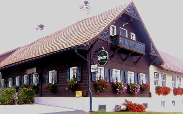
Brennerwirt_Vorau_Eastern Styria | © Oststeiermark Tourismus | Fam. Rechberger, Brennerwirt
2/10
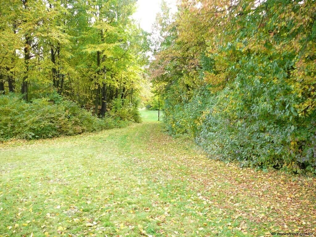
Forest trail_Vorau_Eastern Styria | © Manfred Glössl | Manfred Glössl
3/10
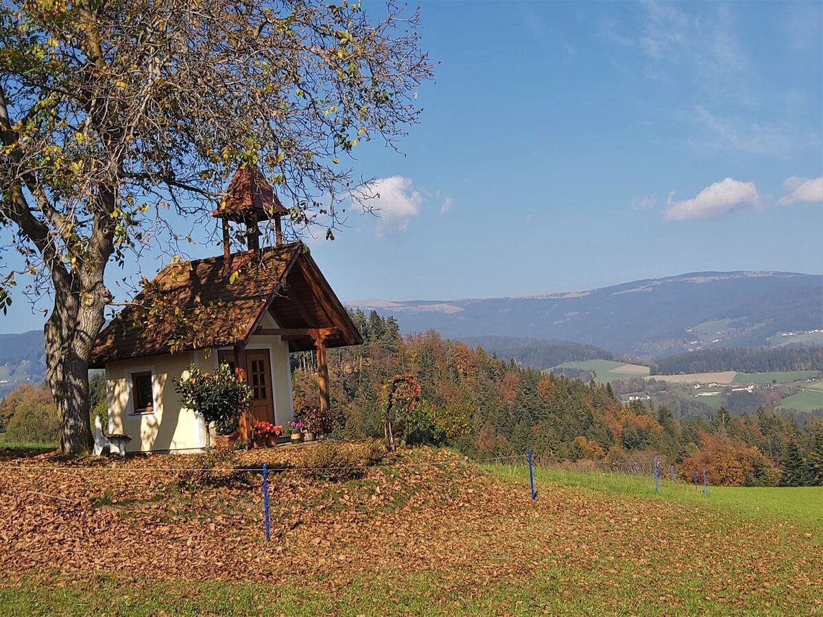
Wayside shrine in Riegersbach near Vorau_Vorau_Eastern Styria | © Oststeiermark Tourismus | Christine Pollhammer
4/10
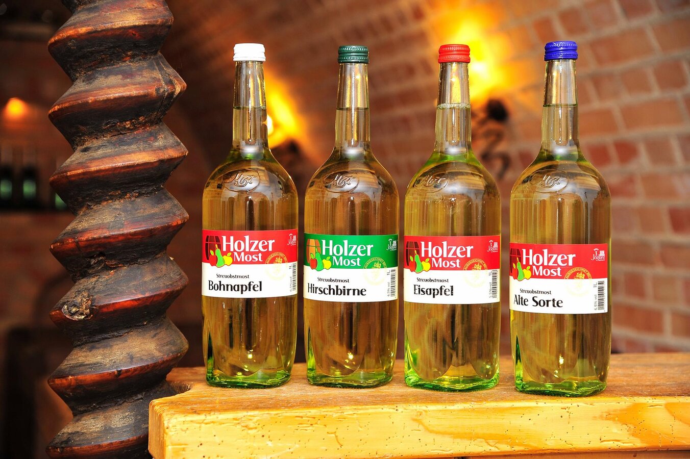
Mostschank Holzer_Most_Eastern Styria | © Mostschank Holzer | JOHANN ZUGSCHWERT
5/10
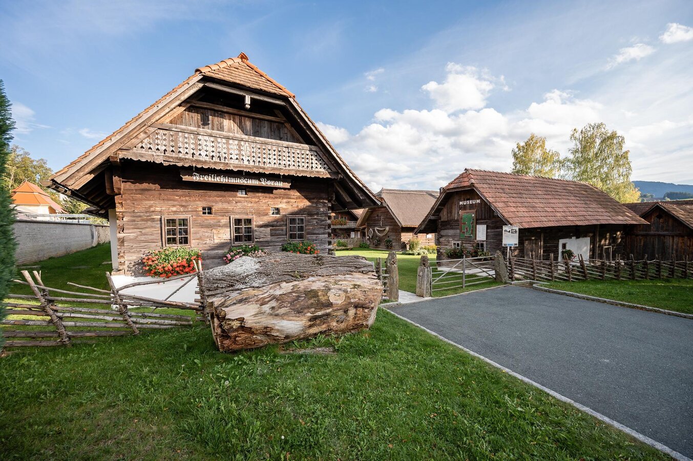
Vorau Open-Air Museum_Entrance_Vorau_Eastern Styria | © Freilichtmuseum Vorau | Klaus Ranger
6/10
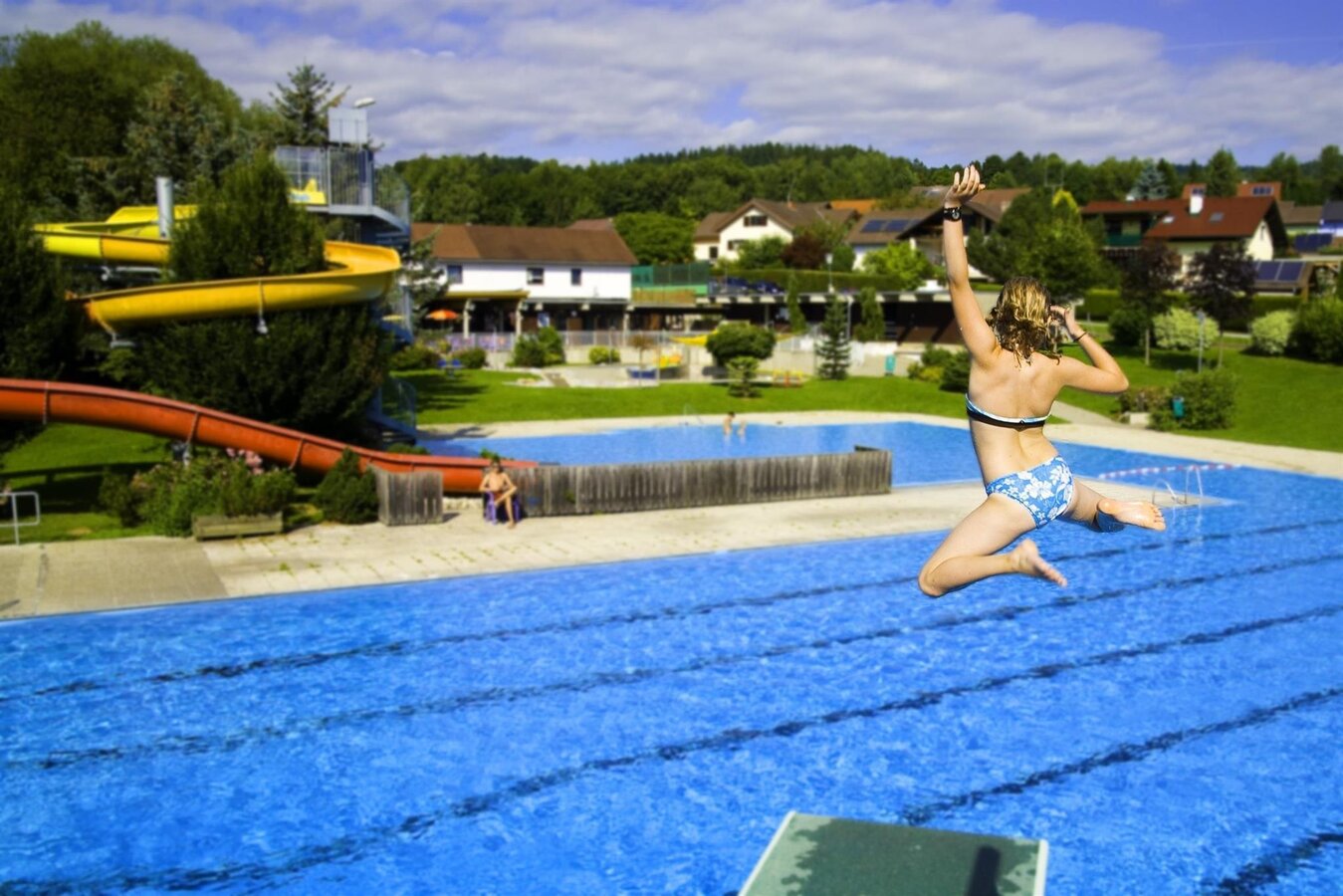
3 Firs Bath Vorau_View_Eastern Styria | © Verein der Vorauer Wirtschaft
7/10
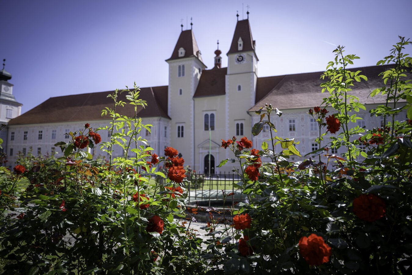
Vorau Abbey with roses_Eastern Styria | © Oststeiermark Tourismus | Kurt Elmleitner
8/10
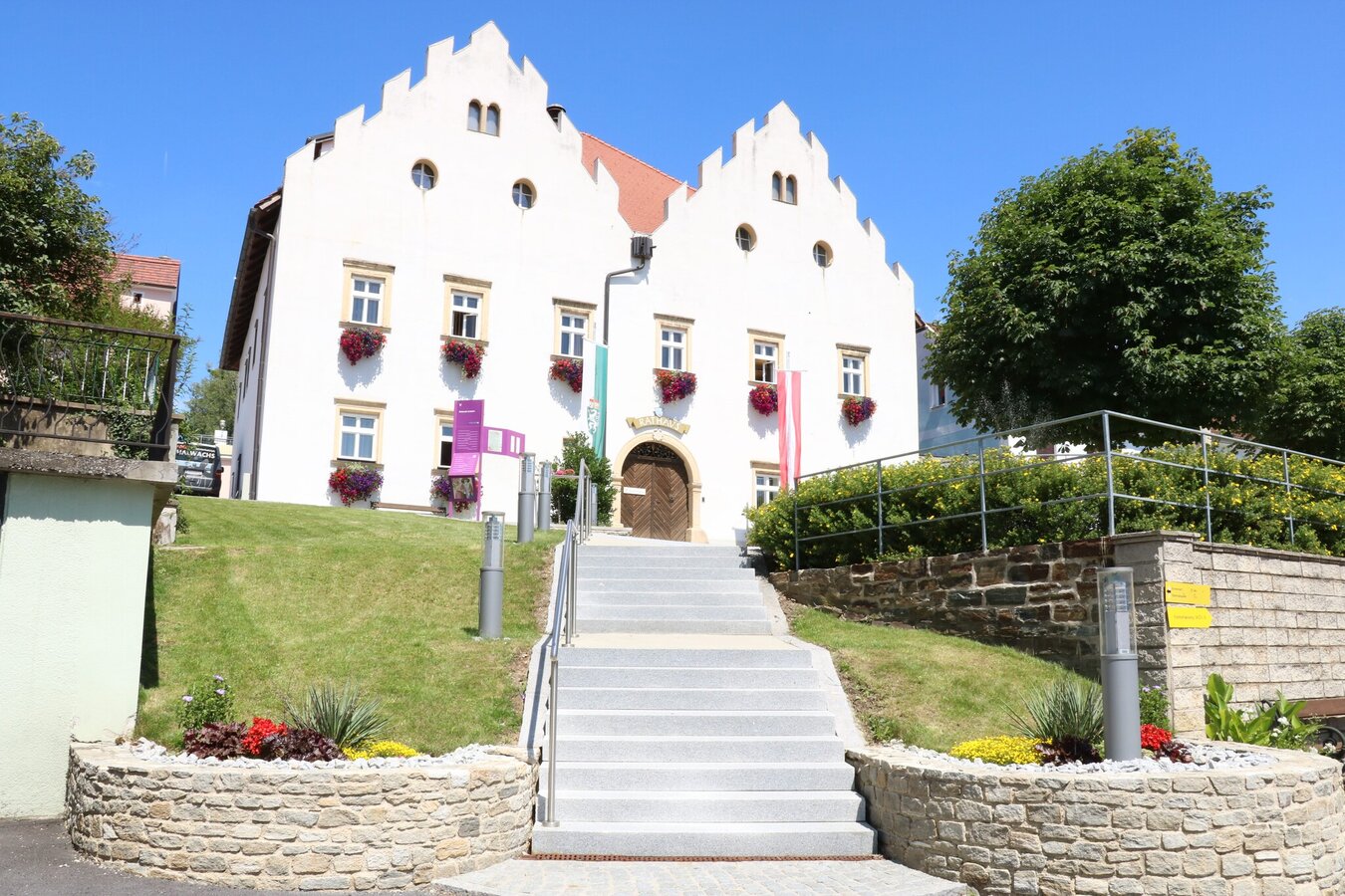
Vorau Town Hall_Vorau_Eastern Styria | © Oststeiermark Tourismus | Oststeiermark Tourismus
9/10
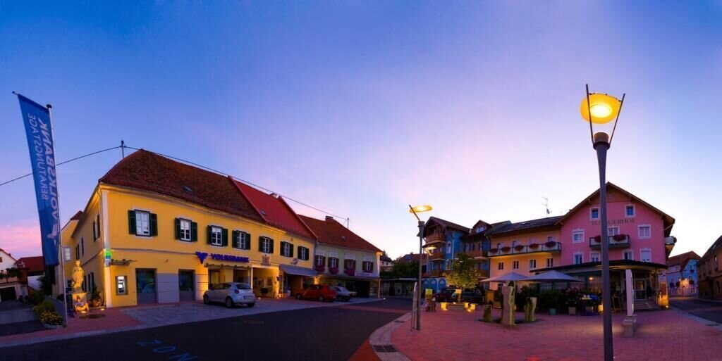
Griesplatz in the center of Vorau_Vorau_Eastern Styria | © Verein Vorauer Wirtschaft | Tourismus Vorau
10/10
What the weather will be like Vorau (675m)
Today, 08.07.2026
Mostly cloudy in the morning, then showers and sunshine will alternate.Morning

19°C
sr.Regenwahrscheinlichkeit
25%
sr.Windstärke
10 km/h
Noon

22°C
sr.Regenwahrscheinlichkeit
55%
sr.Windstärke
20 km/h
Night
20°C
sr.Regenwahrscheinlichkeit
55%
sr.Windstärke
15 km/h
Tomorrow, 09.07.2026
Variable cloudiness with long sunny periods and a chance of showers around noon.Morning

17°C
sr.Regenwahrscheinlichkeit
20%
sr.Windstärke
5 km/h
Noon
22°C
sr.Regenwahrscheinlichkeit
45%
sr.Windstärke
10 km/h
Night

20°C
sr.Regenwahrscheinlichkeit
40%
sr.Windstärke
10 km/h
Forecast
09.07.2026
14°C
24°C
10.07.2026
14°C
26°C
11.07.2026
16°C
28°C
