


Etappe 06 RSAT23 Hemma Pilgerweg Route Admont
Characteristics
SkillThe tour in numbers
Level of difficulty
medium
Route
22,4 km
Time
6:00 h
Uphill
787 hm
Downhill
967 hm
Highest point
1361 m
Starting from St. Lambrecht, today’s stage takes us across provincial borders. At the Wandaler Cross, we cross into Carinthia. Our next destinations are Ingolsthal and finally Metnitz at 851 metres above sea level. A particular highlight of today’s route is the incredible panoramic view that accompanies us along the way.
Saint Hemma, born around 980 as Countess of Friesach-Zeltschach, was known for her charity work and generous foundations. With her wealth, she founded the Benedictine monasteries of Gurk and Admont. The latter is now home to the world’s largest monastic library and is well worth a visit.
Starting from the market square in St. Lambrecht, the trail climbs uphill towards Lake Auerling (1,318 m) and the border with Carinthia. Upon reaching the Wandaler Cross on the mountain saddle, we are rewarded with magnificent panoramic views before descending on the Carinthian side through the narrow Gwerzbach Valley to Ingolsthal. In Ingolsthal, the pilgrimage route continues past the parish church to the Perzl Cross. From there, the trail leads downhill to Metnitz via the farmsteads Buchhäusl, Toner, Rainer (Hemma Fountain), Marak, Gruber, and Senger.
Lake Auerling in the Zirbitzkogel-Grebenzen Nature Park is certainly one of the highlights of this stage. Nestled in beautiful forest surroundings, the lake covers around three hectares and was formed by glacial moraine deposits. Ingolsthal lies in a side valley branching north from the Metnitz Valley and was once an important mining area where silver was extracted from the early Middle Ages onwards. Since the 12th century, the village has had its own parish church dedicated to Saint Gotthard. The church was first documented in 1169 and elevated to parish status in 1531. Its impressive four-column high altar, dating from around 1725, spans the entire eastern side of the church.
Starting from the market square in St. Lambrecht, the trail climbs uphill towards Lake Auerling (1,318 m) and the border with Carinthia. Upon reaching the Wandaler Cross on the mountain saddle, we are rewarded with magnificent panoramic views before descending on the Carinthian side through the narrow Gwerzbach Valley to Ingolsthal. In Ingolsthal, the pilgrimage route continues past the parish church to the Perzl Cross. From there, the trail leads downhill to Metnitz via the farmsteads Buchhäusl, Toner, Rainer (Hemma Fountain), Marak, Gruber, and Senger.
Lake Auerling in the Zirbitzkogel-Grebenzen Nature Park is certainly one of the highlights of this stage. Nestled in beautiful forest surroundings, the lake covers around three hectares and was formed by glacial moraine deposits. Ingolsthal lies in a side valley branching north from the Metnitz Valley and was once an important mining area where silver was extracted from the early Middle Ages onwards. Since the 12th century, the village has had its own parish church dedicated to Saint Gotthard. The church was first documented in 1169 and elevated to parish status in 1531. Its impressive four-column high altar, dating from around 1725, spans the entire eastern side of the church.
Best season
January
February
March
April
May
June
July
August
September
October
November
December
More information
Detailed information on how to get to St. Lambrecht can be found here.
Parking is available in front of St. Lambrecht Abbey and at the entrances to the village.
Starting from the market square in St. Lambrecht, trail no. 136 leads through the outskirts of the village and uphill along the wild and romantic Lambrechtsbach stream towards Lake Auerling and the border with Carinthia. Lake Auerling, located in the Zirbitzkogel-Grebenzen Nature Park, is certainly one of the highlights of this stage. Surrounded by beautiful forest scenery, the lake covers around three hectares and was formed by glacial moraine deposits.
Upon reaching the Wandaler Cross on the mountain saddle, we enjoy magnificent panoramic views before descending on the Carinthian side through the narrow Gwerzbach Valley towards Ingolsthal. The village lies in a side valley branching north from the Metnitz Valley and was once an important mining area where silver was extracted from the early Middle Ages onwards. Since the 12th century, Ingolsthal has had its own parish church dedicated to Saint Gotthard. The church was first documented in 1169 and elevated to parish status in 1531. Its impressive four-column high altar, dating from around 1725, spans the entire eastern side of the church.
In Ingolsthal, we turn sharply right in the village and continue to the parish church. After around 150 metres, we turn left, cross the Rossbach stream, and follow a forest trail to the Perzl Cross. From there, the old Roman road initially heads north before we turn left and descend to Metnitz via the farmsteads Buchhäusl, Toner, Rainer (Hemma Fountain), Marak, Gruber, and Senger.
Informations about the whole Hemma Pilgrimage Trail
Upon reaching the Wandaler Cross on the mountain saddle, we enjoy magnificent panoramic views before descending on the Carinthian side through the narrow Gwerzbach Valley towards Ingolsthal. The village lies in a side valley branching north from the Metnitz Valley and was once an important mining area where silver was extracted from the early Middle Ages onwards. Since the 12th century, Ingolsthal has had its own parish church dedicated to Saint Gotthard. The church was first documented in 1169 and elevated to parish status in 1531. Its impressive four-column high altar, dating from around 1725, spans the entire eastern side of the church.
In Ingolsthal, we turn sharply right in the village and continue to the parish church. After around 150 metres, we turn left, cross the Rossbach stream, and follow a forest trail to the Perzl Cross. From there, the old Roman road initially heads north before we turn left and descend to Metnitz via the farmsteads Buchhäusl, Toner, Rainer (Hemma Fountain), Marak, Gruber, and Senger.
Informations about the whole Hemma Pilgrimage Trail
Emergency
call mountain rescue: 140
Tips when
reporting an emergency – Answer these six WH questions: What happened? How
many people are injured? Where did the accident happen (are there GPS
coordinates)? Who is reporting the incident (callback number)? When did the
accident happen? What is the weather like at the site of the incident?
Proper backpack
packing makes many things easier: Pack heavy things first. The water bottle
should always be within reach in a side pocket. All the things that are often
needed, such as sunglasses, camera or hiking map, belong on top. An emergency
kit, including blister plasters, belongs in every rucksack and it is always
advisable to dress in layers.
ÖBB www.oebb.at oder Verbundlinie Steiermark www.busbahnbim.at
Mit der BusBahnBim App der Verbundlinie ist eine Fahrplanauskunft so einfach wie noch nie: Alle Verbindungen mit Bus, Bahn und Straßenbahn in Österreich können durch die Eingabe von Orten und/oder Adressen, Haltestellen bzw. wichtigen Punkten abgefragt werden. Erhältlich ist die App als Gratis-App für Smartphones (Android, iOS) – auf Google Play und im App Store
Steiermark Tourismus, Tel. +43 316 40030, www.steiermark.com
TV Region Murau, Tel. +43 3532 2720, www.regionmurau.at
Monika Gschwandner-Elkins: Hemma Pilgerwege, ARGE Pilgern in Kärnten, 9020 Klagenfurt, Freytag&Berndt und Artaria KG, 2008Map & downloads
Gallery
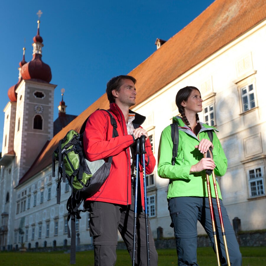
Start in St. Lambrecht | © Steiermark Tourismus | Harry Schiffer
1/4
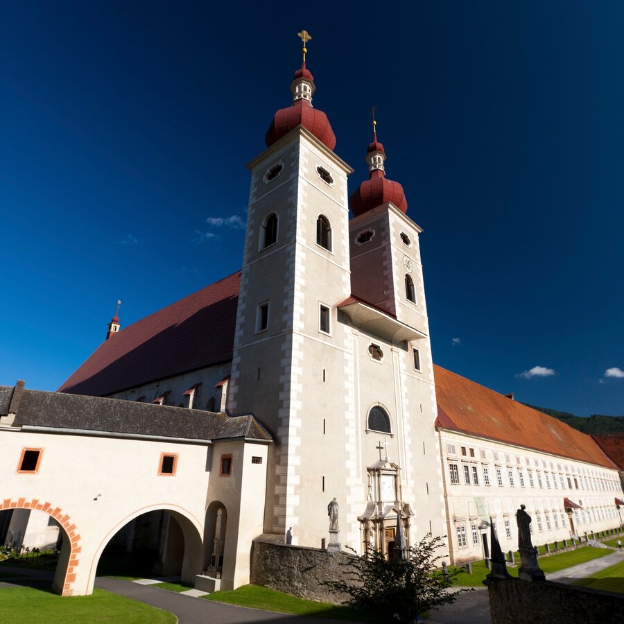
Blick auf das Stift St. Lambrecht | © Steiermark Tourismus | Harry Schiffer
2/4
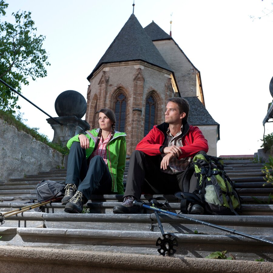
Rast in St. Lambrecht | © Steiermark Tourismus | Harry Schiffer
3/4
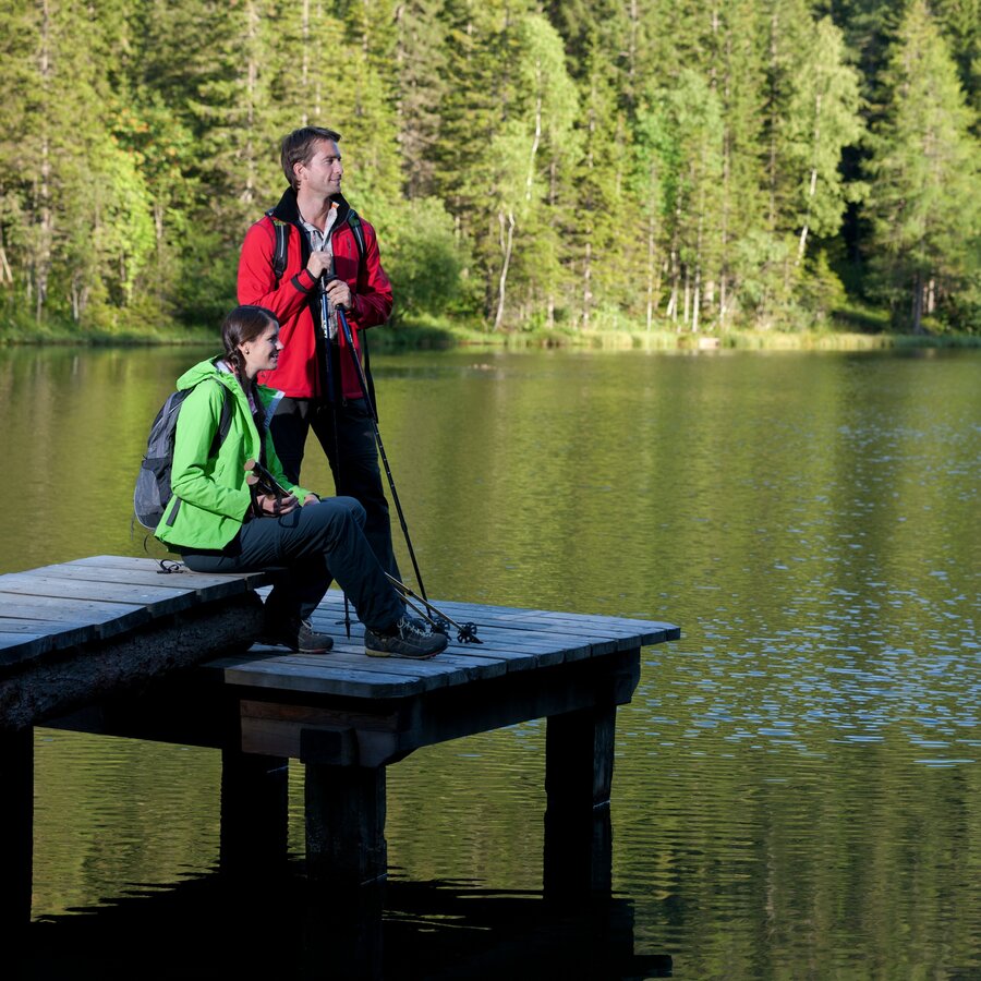
Rast am Auerlingsee | © Steiermark Tourismus | Harry Schiffer
4/4

What the weather will be like St. Lambrecht (1023m)
Today, 12.10.2026
Some clouds in the morning, lateron much sunshine and hardly any cloudsMorning

4°C
sr.Regenwahrscheinlichkeit
20%
sr.Windstärke
5 km/h
Noon

11°C
sr.Regenwahrscheinlichkeit
5%
sr.Windstärke
5 km/h
Night
5°C
sr.Regenwahrscheinlichkeit
0%
sr.Windstärke
5 km/h
Tomorrow, 13.10.2026
Some clouds in the morning, lateron much sunshine and hardly any cloudsMorning
2°C
sr.Regenwahrscheinlichkeit
0%
sr.Windstärke
5 km/h
Noon
13°C
sr.Regenwahrscheinlichkeit
0%
sr.Windstärke
5 km/h
Night
6°C
sr.Regenwahrscheinlichkeit
0%
sr.Windstärke
5 km/h
Forecast
14.10.2026

5°C
15°C
15.10.2026
6°C
16°C
16.10.2026
5°C
16°C
