


Blosen
Characteristics
FitnessThe tour in numbers
Level of difficulty
medium
Route
5,3 km
Time
4:30 h
Uphill
664 hm
Downhill
671 hm
Highest point
1722 m
The Blosen 1,724m in the municipality of Oppenberg is a peak that is forested up to the top. Nevertheless, you have a very beautiful view of Grimming, Totes Gebirge, Warscheneck and some mountains in the Gesäuse.
A hike for everybody.
A hike for everybody.
From the Grobbauer inn we walk back along the road for about 100m, turn left on a gravel path in front of the farmstead and then right across a meadow and steeply uphill along the stream. A steep hiking trail through the forest leads us to the summit.
Best season
January
February
March
April
May
June
July
August
September
October
November
December
More information
Leave the A9 Phyrn Motorway at Rottenmann, Exit 74, and turn left onto the B113. Follow it for about 300 meters, then turn left towards Strechau. Continue on the L739 until you reach Oppenberg.
Parking space at Gh. Grobbauer
Parking space at Gh. Grobbauer
From Gasthaus Grobbauer, walk about 100 meters back along the main road, then turn left onto a gravel path leading up to the Haindl farm. Before reaching the farmhouse, turn left again, then right across a meadow and steeply uphill along the stream. After about 600 meters, the trail enters the forest. From here, the hiking path winds its way steeply up through the woods in small switchbacks. After a while, the trail suddenly becomes gentler and heads west. The final stretch to the summit leads northeast again through a forest that gradually opens up.
Sturdy hiking boots or good trekking shoes
Hiking backpack
Water bottle
First aid kit including blister plasters
Hiking map and smartphone
Snacks
Sunglasses
Sunscreen
You should also be well prepared for changeable weather.
Packing your backpack correctly makes things much easier:
Pack heavy items first. Your water bottle should always be easily accessible in a side pocket. Everything you need frequently, such as sunglasses, your smartphone, or hiking map, should be packed on top.
Hiking backpack
Water bottle
First aid kit including blister plasters
Hiking map and smartphone
Snacks
Sunglasses
Sunscreen
You should also be well prepared for changeable weather.
Packing your backpack correctly makes things much easier:
Pack heavy items first. Your water bottle should always be easily accessible in a side pocket. Everything you need frequently, such as sunglasses, your smartphone, or hiking map, should be packed on top.
A stop at the Grobbauer restaurant is recommended.
If you want to make a crossing, you can descend from Blosen in the direction of Hohe Trett / Aigen im Ennstal and Lassing.
www.oebb.at
www.busbahnbim.at With the BusBahnBim app from Verbundlinie, finding timetable information has never been easier: all bus, train and tram connections in Austria can be searched for by entering locations and/or addresses, stops or important points. The app is available as a free app for smartphones (Android, iOS) – on Google Play and in the App Store.
www.busbahnbim.at With the BusBahnBim app from Verbundlinie, finding timetable information has never been easier: all bus, train and tram connections in Austria can be searched for by entering locations and/or addresses, stops or important points. The app is available as a free app for smartphones (Android, iOS) – on Google Play and in the App Store.
Gesäuse Tourist Association
Hauptstraße 35, 8911 Admont, Austria
t: +43 3613 2116010
Email: info@gesaeuse.at
www.gesaeuse.at
Hauptstraße 35, 8911 Admont, Austria
t: +43 3613 2116010
Email: info@gesaeuse.at
www.gesaeuse.at
Map & downloads
Gallery
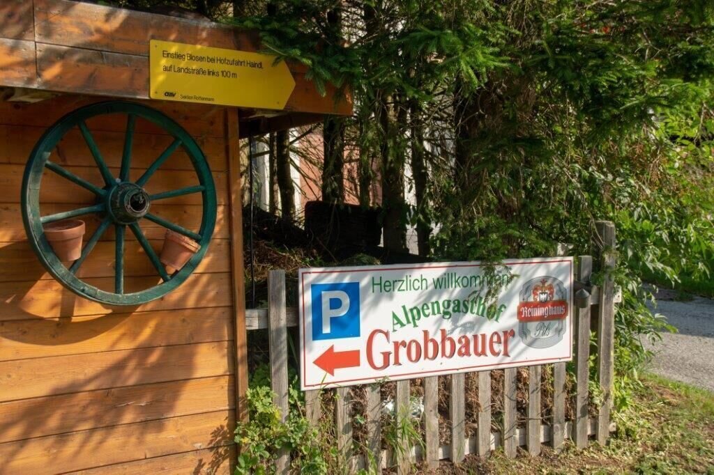
Parken beim Gasthaus | © TV Gesäuse | Tourismusverband Gesäuse
1/15
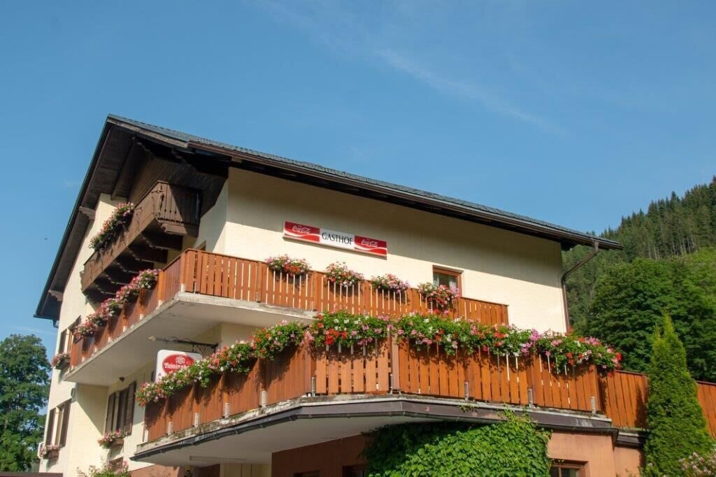
GH Grobbauer | © TV Gesäuse | Tourismusverband Gesäuse
2/15
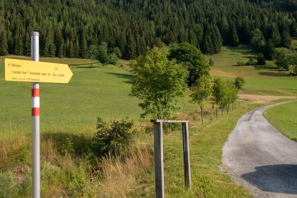
Von der Landstrasse auf den Wanderweg | © TV Gesäuse | Tourismusverband Gesäuse
3/15
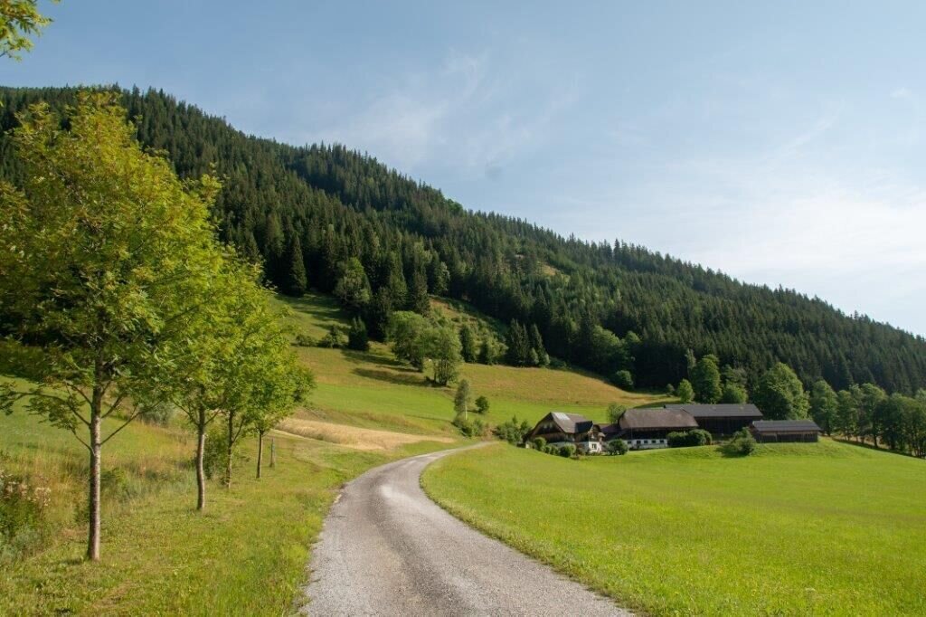
Die ersten schritte auf der Zufahrtsstrasse | © TV Gesäuse | Tourismusverband Gesäuse
4/15
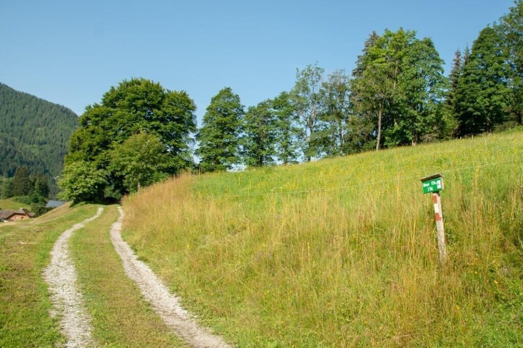
Links Abbiegen | © TV Gesäuse | Tourismusverband Gesäuse
5/15
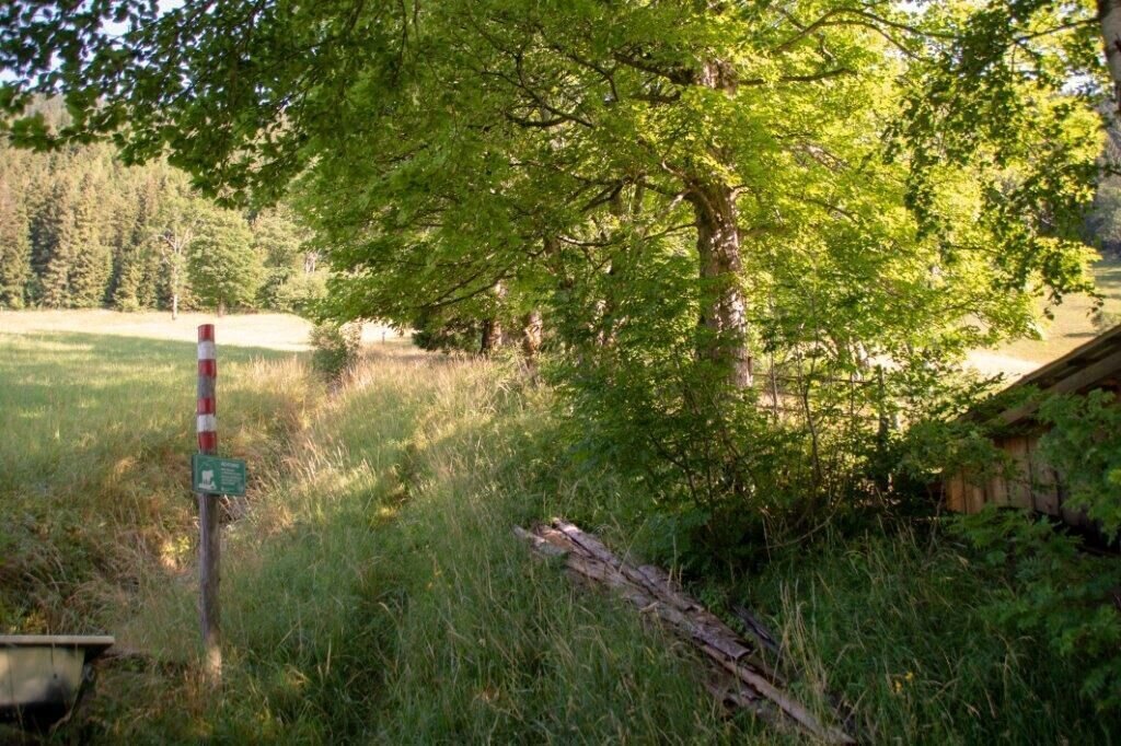
NAch dem Stadl rechts hinauf | © TV Gesäuse | Tourismusverband Gesäuse
6/15
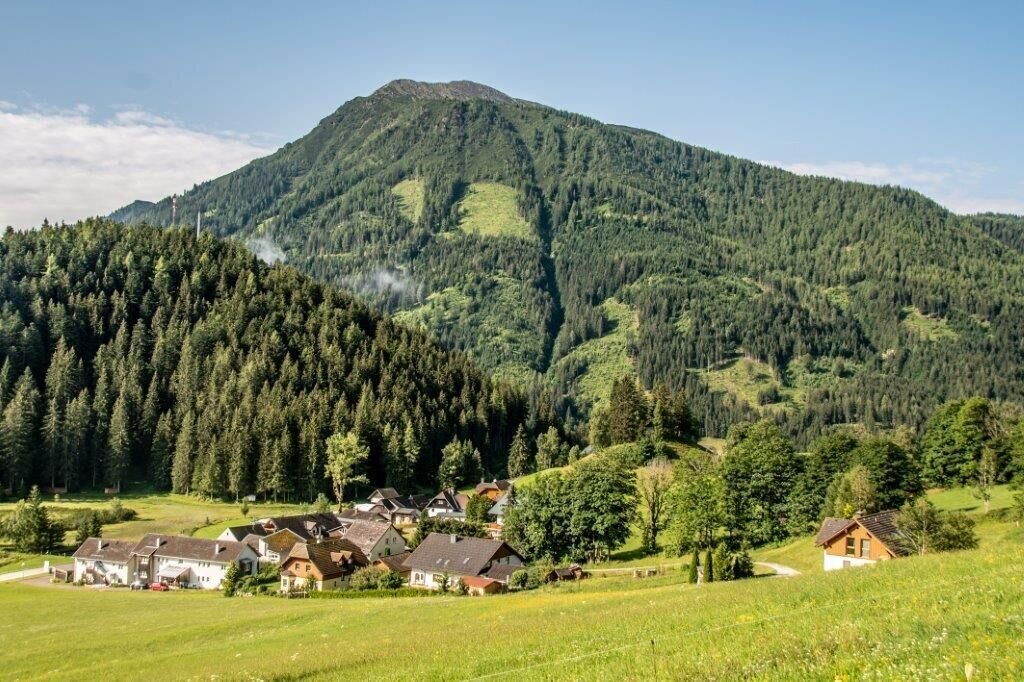
Oppenberg | © TV Gesäuse | Tourismusverband Gesäuse
7/15
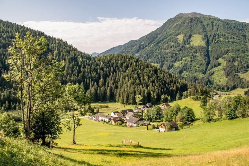
Blick auf Oppenberg | © TV Gesäuse | Tourismusverband Gesäuse
8/15
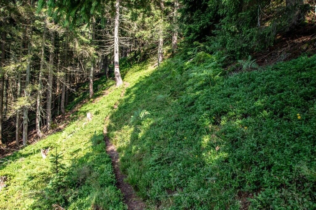
Waldweg | © TV Gesäuse | Tourismusverband Gesäuse
9/15
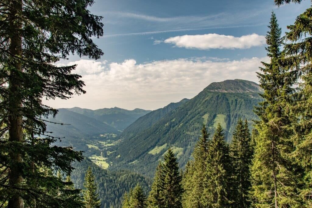
Blick ins Tal | © TV Gesäuse | Tourismusverband Gesäuse
10/15
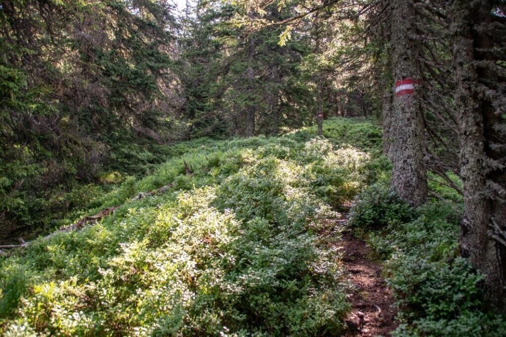
Schön Markiert | © TV Gesäuse | Tourismusverband Gesäuse
11/15
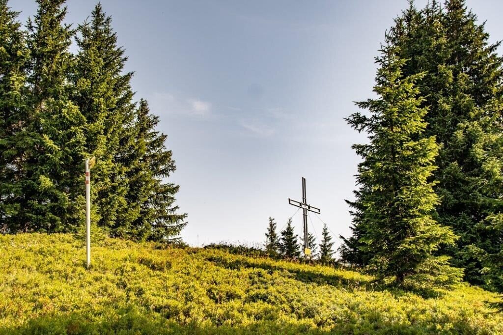
Erster Blick auf den Gipfel | © TV Gesäuse | Tourismusverband Gesäuse
12/15
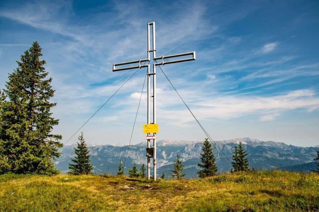
Blosen 1724 | © TV Gesäuse | Tourismusverband Gesäuse
13/15
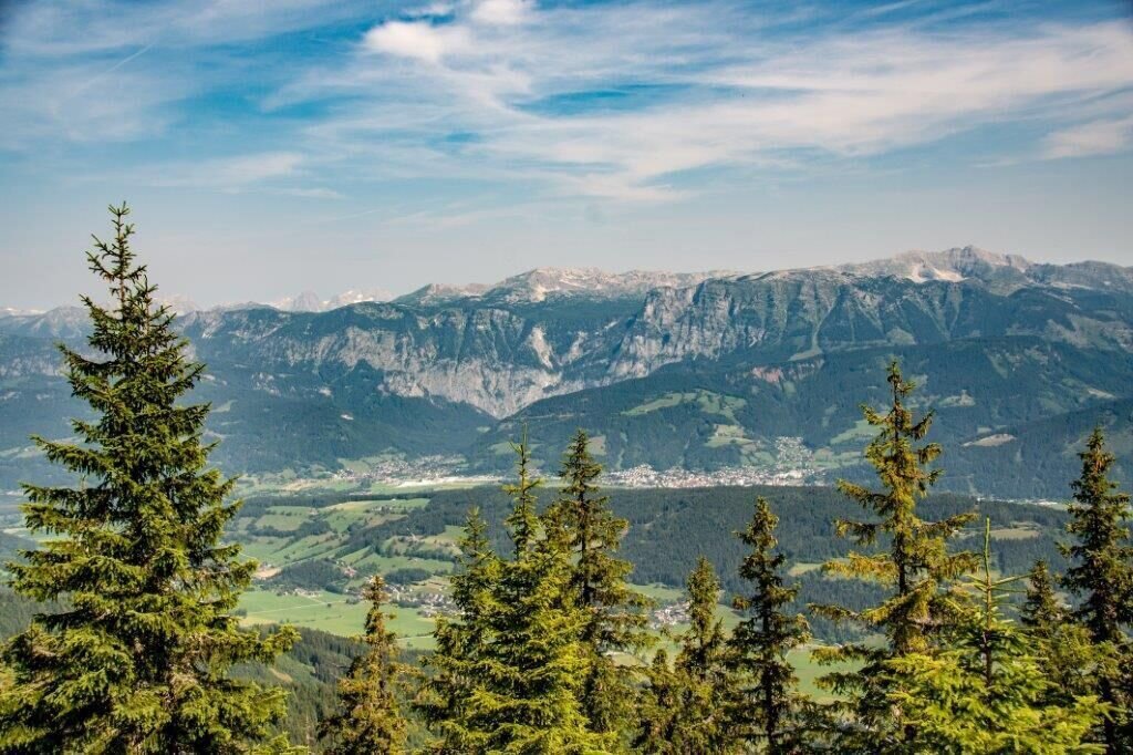
Blick nach Liezen | © TV Gesäuse | Tourismusverband Gesäuse
14/15
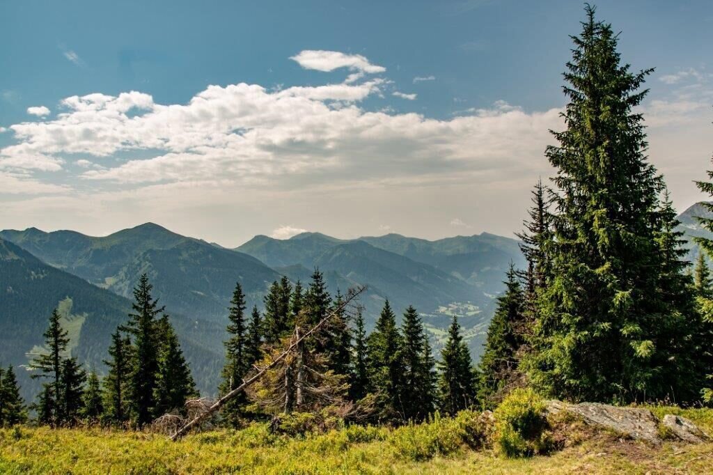
Aussicht in den Süden | © TV Gesäuse | Tourismusverband Gesäuse
15/15

What the weather will be like Rottenmann (672m)
Today, 24.10.2026
The rain will end in the early afternoon, and the skies will break up afterwards.Morning

4°C
sr.Regenwahrscheinlichkeit
95%
sr.Windstärke
5 km/h
Noon
8°C
sr.Regenwahrscheinlichkeit
80%
sr.Windstärke
10 km/h
Night

3°C
sr.Regenwahrscheinlichkeit
25%
sr.Windstärke
0 km/h
Tomorrow, 25.10.2026
Mostly cloudy through the day with light rain now and then.Morning
1°C
sr.Regenwahrscheinlichkeit
10%
sr.Windstärke
5 km/h
Noon
9°C
sr.Regenwahrscheinlichkeit
65%
sr.Windstärke
10 km/h
Night
7°C
sr.Regenwahrscheinlichkeit
80%
sr.Windstärke
5 km/h
Forecast
26.10.2026
1°C
11°C
27.10.2026

-1°C
13°C
28.10.2026
1°C
12°C
