


Apple hiking trail from Weiz to Puch
Characteristics
SkillThe tour in numbers
Level of difficulty
medium
Route
12,5 km
Time
3:35 h
Uphill
310 hm
Downhill
332 hm
Highest point
597 m
A beautiful hike through the area of the apple. Enjoy dreamlike views and get to know the apple in the region better.
Experience the special climate in the apple village. Because of the warm days and cool nights, nothing stands in the way of perfect fruit growing. This special climate gives the apples their special aroma. That is why Puch is known far beyond its borders for its apples. The apples are also processed here into juices, cider and schnapps. Enjoy the unique variety of apples on this hike and taste the different products at the inns.
Best season
January
February
March
April
May
June
July
August
September
October
November
December
More information
The district capital of Weiz is located in eastern Styria and is very easy to reach via the A2 from Vienna (approx. 2 hrs) and from Graz (approx. 30 min).
- Arrival from Vienna and Graz: On the A2 from Vienna, take motorway exit 161 / Gleisdorf West in the direction of B54 / B64. Follow the B65 / Gleisdorfer Bundesstraße until you reach the B54 / Wechselbundesstraße. At the roundabout take the second exit to the B64 / Rechberg-Bundesstraße. After about 15 km you will reach the district capital Weiz.
- Arriving from Graz via the main road: take Kaiser-Franz-Josef-Kai and Wickenburggasse to Jahngasse / B67a. Follow the B72 to Weiz and take the exit towards Weiz -West.
There are paid parking spaces in Weiz in the city and free parking spaces slightly outside the city.
- We start our hike at the main square in Weiz.
- First we follow the Way of the Cross to the Basilica on Weizberg. From there we continue to Thannhausen and follow the path to the Calvary Chapel.
- Continue over the Fragenberg, always following trail marking no. 2, and soon we reach the Hafner inn.
- We cross the B72 and walk to Steirergasse and the Schattenbauerweg. We follow the Schattenbauerweg until we come to a junction and turn left towards trail no. 10 and follow this trail.
- After a little up and down, the trail from Klettendorf leads directly through some apple orchards, giving us a great view of the orchard crops. These sections of the trail are even more attractive at blossom or harvest time and are a real treat for all the senses.
- The trail ends directly in the centre of Puch, where we can fortify ourselves for the way back with a variety of high-quality apple specialities.
Important telephone numbers:
- Euronotruf: 112
- Emergency call mountain rescue: 140 (if possible please give GPS data)
- Rescue: 114
- Fire department: 122
- Police: 133
The trail can be walked without any major difficulties and is therefore suitable for the whole family.
Tips for even more hiking pleasure: Rules of conduct when hiking
The route description presented has been prepared to the best of our knowledge and belief.
It is based on interpretations of hiking maps and personal experiences of hikers and mountain sports enthusiasts.
All descriptions are not to be regarded as official hiking guides, the TV Region Weiz assumes no liability for the descriptions, route planning and tours and it is therefore expressly recommended that, if necessary, additional official map material from quality manufacturers, the Alpine Club, Friends of Nature and other mountain sports institutions be used for individual route planning.
Please remember that hiking, walking, climbing and mountaineering are outdoor sports that are influenced by the varying individual physical condition, the personal state of mind on the day, the weather and the seasonal ground conditions and many other general conditions and therefore careful route planning tailored to the respective situation is necessary for preparation.
We wish you an accident-free and eventful tour.
- Backpack with water bottle/thermos flask and provisions
- Mountain / hiking boots
- Appropriate clothing - preferably several layers - "onion principle" on cool days: long hiking pants, gloves do not forget: Headgear, sunglasses
- rain protection, seat pad
- Hiking sticks
- cell phone
- First aid kit
- Route description, detailed plan of the hike/hiking map/GPS device
- Before the start of the hike, check the possibilities for refreshments, including opening times, or pack the appropriate food and drink
- This hike is particularly attractive in the blossom and harvest season.
- Work is in progress on the continuous trail marking
Timetables and travel information can be found at Österreichische Bundesbahnen (ÖBB) or at Verkehrsauskunft Verbundlinie.
For local transportation we recommend the SAM collective cab East Styria.
Info about the region, places to stop for refreshments and overnight stays, excursion destinations, etc., can be found here:
Eastern Styria Tourist Board
Office Weiz
Main square 18
8160 Weiz
Tel:+43172/2319660
Get information at the tourist office about maps, hiking brochures and other tour tips.You can also order information material from the comfort of your own home on our website.
Map & downloads
Gallery

Hiking_Apple Orchards_Puch near Weiz_Eastern Styria | Markus Lang-Bichl
1/10
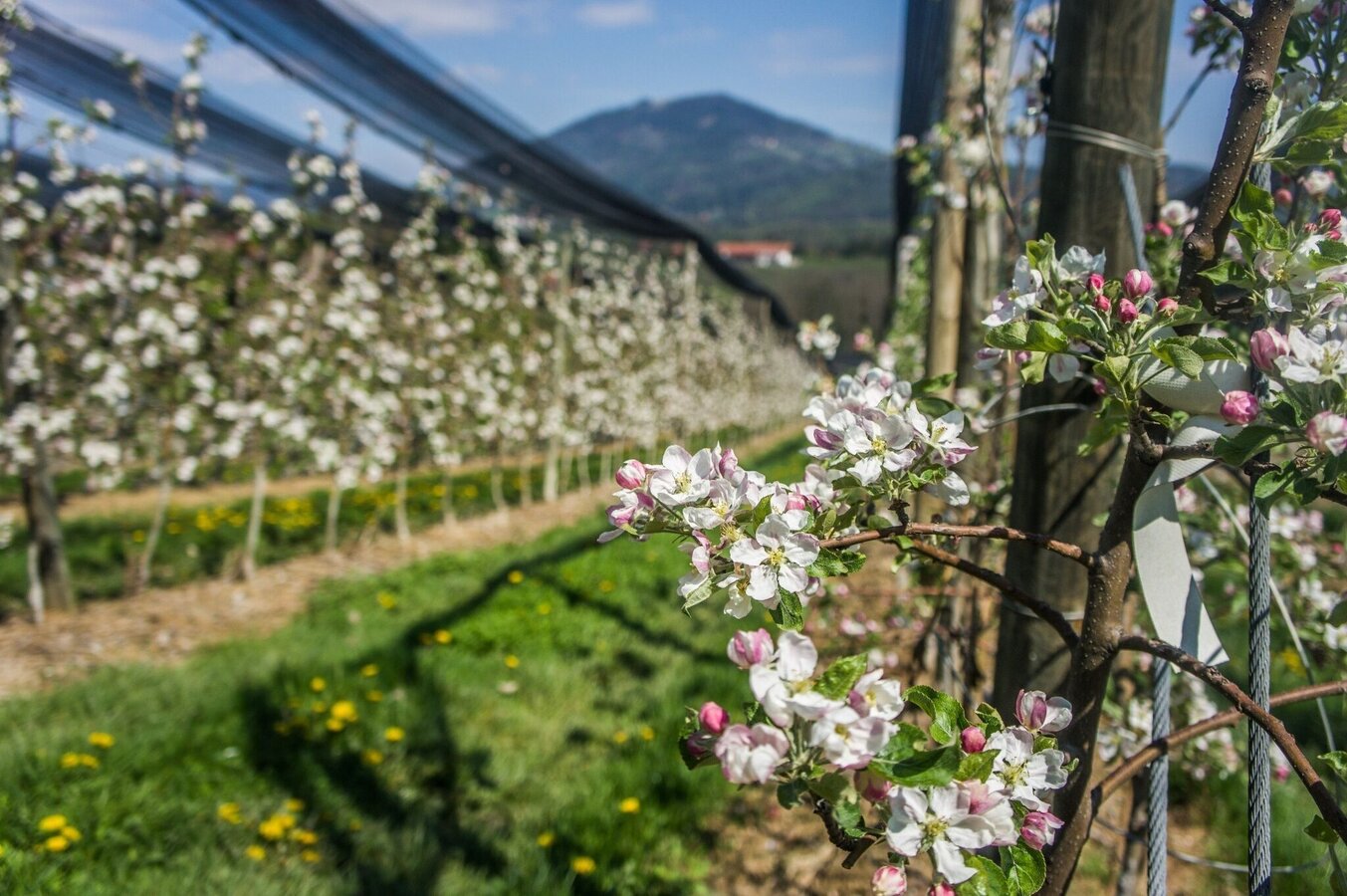
Apfelwanderweg | © Oststeiermark Tourismus | Alexandra Wagner
2/10
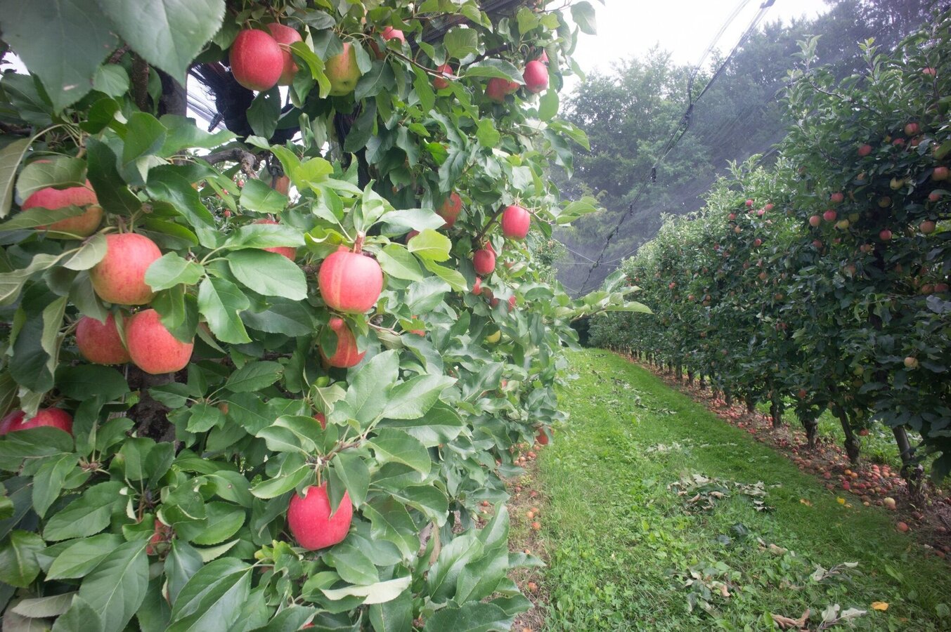
Apfelwanderweg | © Oststeiermark Tourismus | Alexandra Wagner
3/10

Bernhard Bergmann
4/10
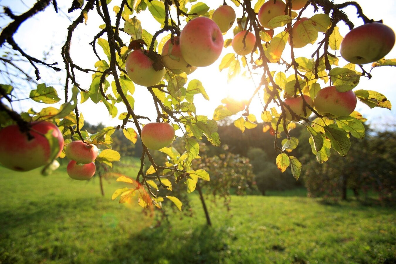
Apfelwanderweg | © Oststeiermark Tourismus | Harry Schiffer
5/10
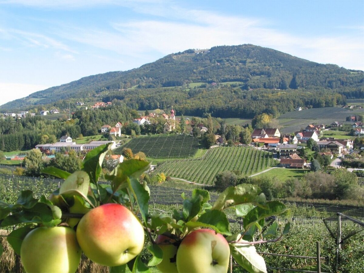
Apfeldorf Puch bei Weiz | © Oststeiermark Tourismus | Walter Schneider
6/10

Basilica Weizberg, Weiz_Eastern Styria | © Oststeiermark Tourismus
7/10
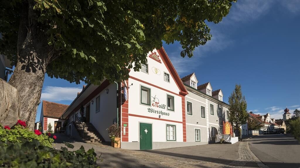
Wirtshaus Meißl ©Bernhard Bergmann | © Oststeiermark Tourismus | Bernhard Bergmann
8/10
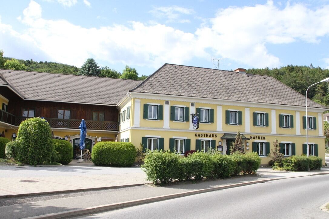
Gasthaus Hafner | © Oststeiermark Tourismus
9/10
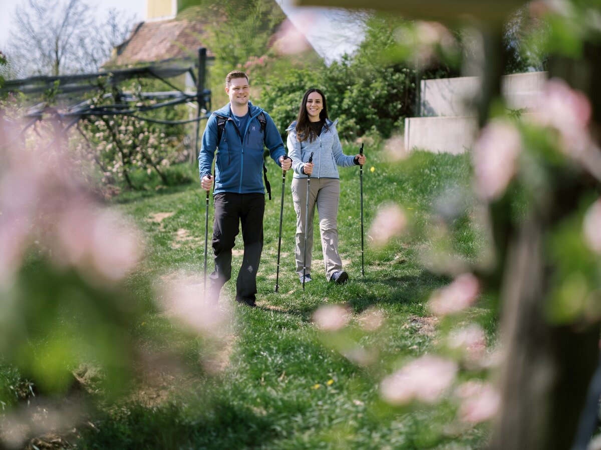
Puch by Weiz_Eastern Styria | © Oststeiermark Tourismus | Mathias Mosbacher
10/10

What the weather will be like Weiz (473m)
Today, 26.09.2026
Dry and sunny throughout the day with hardly any clouds.Morning

9°C
sr.Regenwahrscheinlichkeit
0%
sr.Windstärke
5 km/h
Noon
19°C
sr.Regenwahrscheinlichkeit
0%
sr.Windstärke
5 km/h
Night
13°C
sr.Regenwahrscheinlichkeit
0%
sr.Windstärke
0 km/h
Tomorrow, 27.09.2026
Dry and sunny throughout the day with hardly any clouds.Morning
7°C
sr.Regenwahrscheinlichkeit
0%
sr.Windstärke
0 km/h
Noon
19°C
sr.Regenwahrscheinlichkeit
0%
sr.Windstärke
5 km/h
Night
13°C
sr.Regenwahrscheinlichkeit
0%
sr.Windstärke
0 km/h
Forecast
28.09.2026
7°C
22°C
29.09.2026
8°C
22°C
30.09.2026
7°C
21°C
