


Eisenwurzenweg Trail 08 through Steiermark
Accessible by public transport- Train (within 15 minutes walking distance from starting point)
- Public bus (within 15 minutes walking distance from starting point)
Characteristics
SkillThe tour in numbers
Level of difficulty
challenging
Route
136,4 km
Time
46:00 h
Uphill
6333 hm
Downhill
5915 hm
Highest point
2306 m
The Eisenwurzen Trail leads from the Eisenwurzen Nature Park in the north of Steiermark to the Zirbitzkogel-Grebenzen Nature Park . The crossing of the Niedere Tauern is certainly an absolute highlight for every mountaineer.
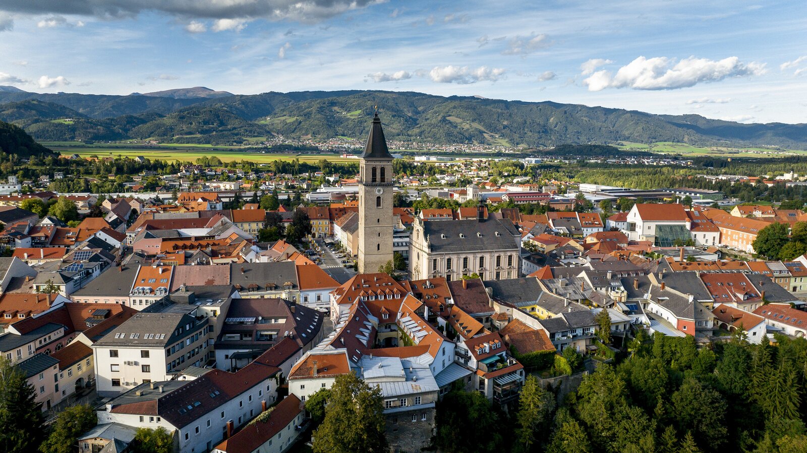
This long-distance hiking trail represents the connection from the northernmost to the southernmost point of Austria. The section through Steiermark takes us from the Eisenwurzen Nature Park to the Gesäuse National Park Centre in Gstatterboden and over the Niedere Tauern into the Murtal with the historic town of Judenburg along the way. Over the Zirbitzkogel, one of the most beautiful panoramic mountains in Austria, we reach the heart of the oldest natural park in Styria.
We start in Weißenbach an der Enns near St. Gallen on the border to Upper Austria and hike via the Ennstaler Hütte to the Gstatterboden Nature Park Centre. It impresses every visitor with its fantastic range of attractions - from the willow dome to the ecological footprint and the geology exhibition.
Via the mountaineering village of Johnsbach, where we also meet the hiking route "From the Glacier to the Wine", we then head towards the Niedere Tauern, which are crossed at Kettentörl. Via the Ingeringtal with the beautifully situated lake of the same name, we reach the small town of Judenburg, which enchants with its historical development reflected in its architecture.
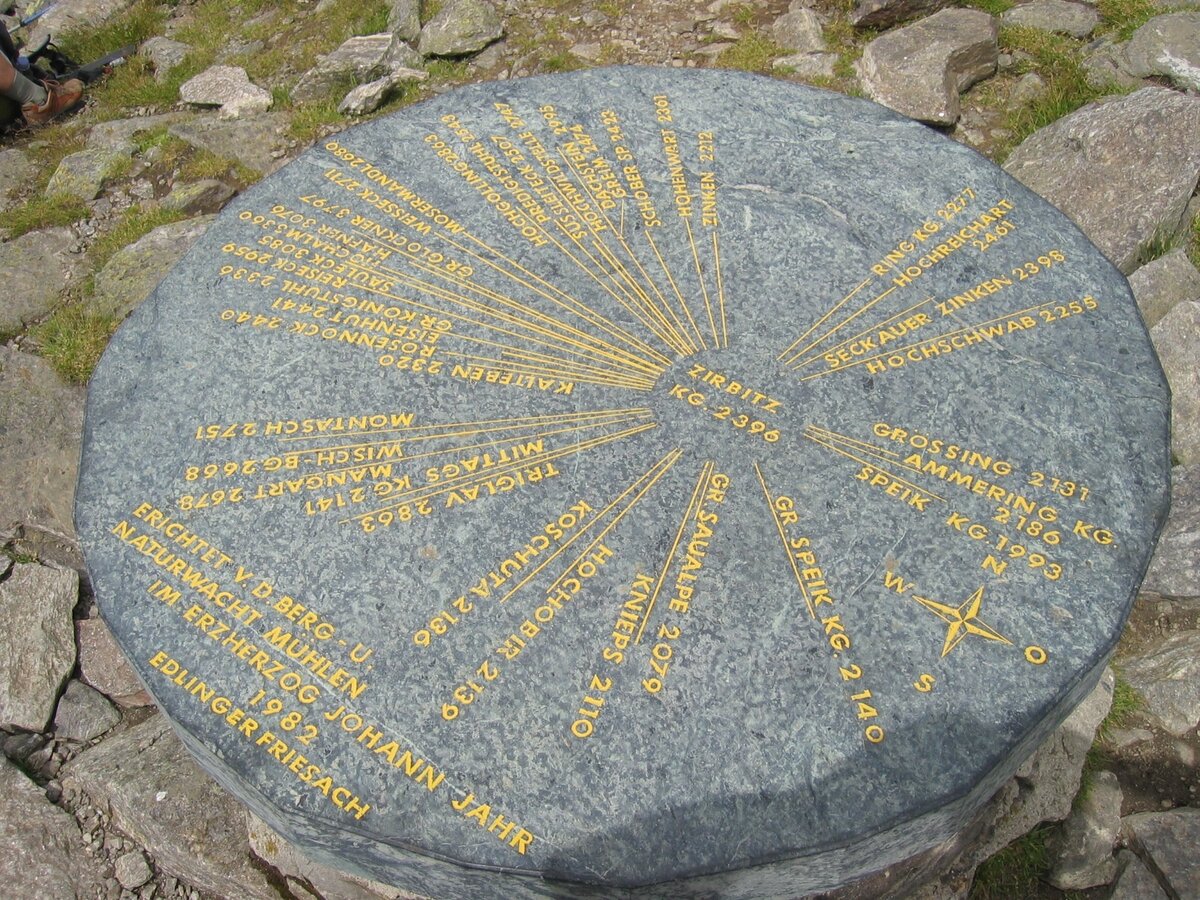
Then we climb the Zirbitzkogel, a beautiful panoramic mountain in the middle of the Seetal Alps. Shortly before the summit, the Lukas Max via ferrata attracts all alpinists. Here at the panoramic summit we now have the option of continuing south-east to Klippitztörl on the 08 trail or descending to Neumarkt in the Zirbitzkogel-Grebenzen Nature Park.
Best season
January
February
March
April
May
June
July
August
September
October
November
December
More information
Detailed information on how to get to the hiking village of Soboth can be found here.
Sufficient parking is available at the train station in Weißenbach an der Enns.
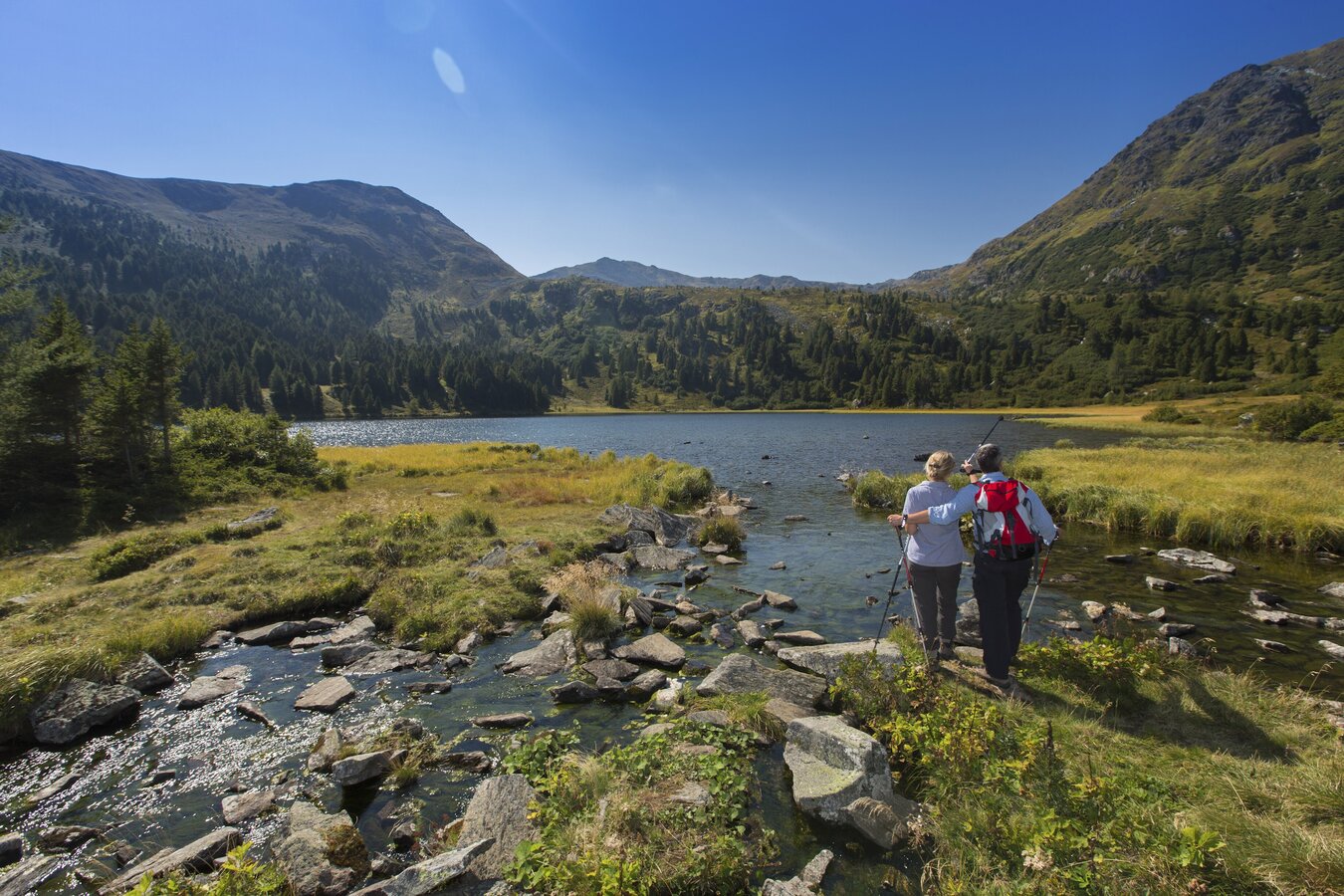
We start our north-south crossing of Styria on the Eisenwurzen Trail 08 in the romantically situated village of Weißenbach an der Enns in the natural park Eisenwurzen. First, the tour takes us to the Ennstaler cabin in the heart of the Gesäuse. Via the mountaineering village of Johnsbach with its touching mountaineering cemetery, we continue through the Gesäuse mountains to Trieben. After that, the crossing of the Niedere Tauern lies ahead. After the historic town of Judenburg, we head to the Winterleitenhütte, idyllically situated on the Kleiner Winterleitensse.
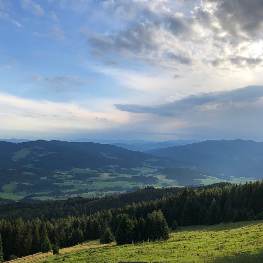
The last day brings us to one of the most beautiful panoramic mountains in the Eastern Alps, the Zirbitzkogel with its refuge of the same name. The view stretches from the Tauern to the Karawanken and can also be seen as a reward for the last few days. Afterwards, we descend via the Kulmerhütte to Neumarkt in the natural park Zirbitzkogel-Grebenzen.
Details of the Eisenwurzen Trail 08 can be found (in German) on the site of the Austrian Alpine Club.
Emergency call mountain rescue: 140
Tips when reporting an emergency – Answer these six WH questions: What happened? How many people are injured? Where did the accident happen (are there GPS coordinates)? Who is reporting the incident (callback number)? When did the accident happen? What is the weather like at the site of the incident?
Proper backpack packing makes many things easier: Pack heavy things first. The water bottle should always be within reach in a side pocket. All the things that are often needed, such as sunglasses, camera or hiking map, belong on top. An emergency kit, including blister plasters, belongs in every rucksack and it is always advisable to dress in layers.Accessible by
train and bus: detailed information about arriving by ÖBB (Austrian Federal
Railways) can be found at www.oebb.at or
on the Verbundlinie Steiermark website www.busbahnbim.at
With
Verbundlinie’s BusBahnBim route planner app, planning your journey
has never been easier: simply enter towns and/or addresses, stop names or
points of interest to check all bus, train and tram connections in Austria. The
app is available free of charge for smartphones – on Google Play and in the App
Store
Steiermark Tourismus, Tel. +43 316 4003
www.steiermark.com
Map & downloads
Gallery
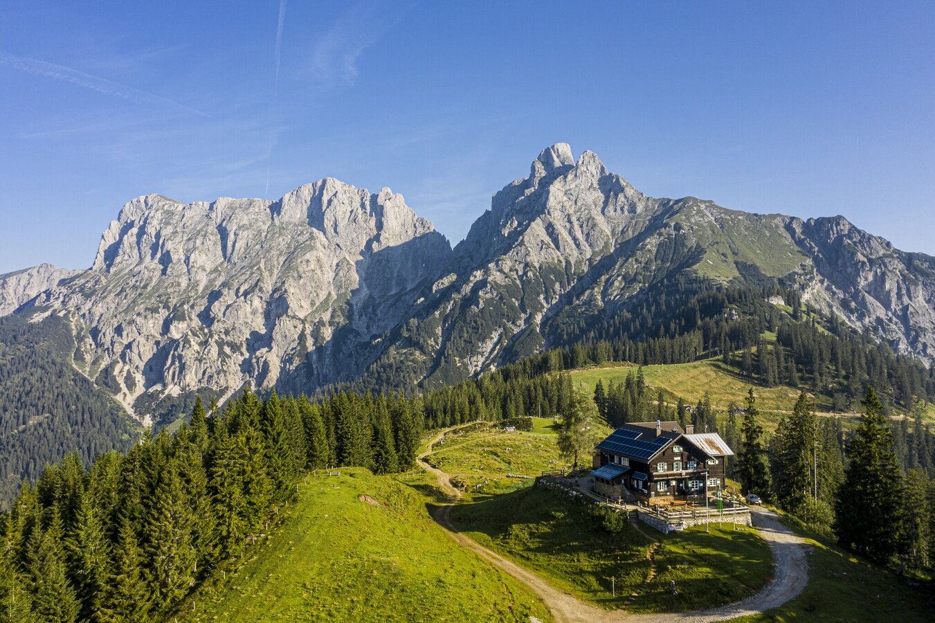
moedlingerhuette_steiermark-tourismus-_-pixelmaker.at.jpg | © Seiermark Tourismus | pixelmaker.at
1/8
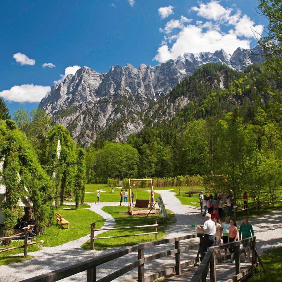
Erlebniszentrum Weidendom | © TV Gesäuse | Tourismusverband Gesäuse
2/8
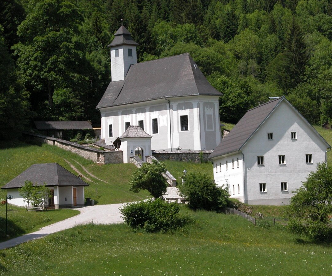
Mountaineers' cemetery Johnsbach | © TV Gesäuse | Tourismusverband Gesäuse
3/8
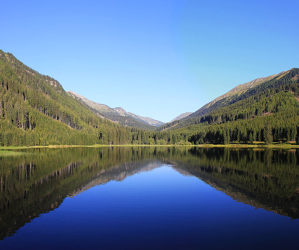
Ingeringsee c Wolfgang Mitteregger | © Wolfgang Mitteregger | Wolfgang Mitteregger
4/8
3187413-15527_steiermark_tourismus_-_tom_lamm.jpg | © Steiermark Tourismus | Tom Lamm
5/8
4095-2630_winterleitensee__zirbenland_murtal.jpg | © Steiermark Tourismus | Harry Schiffer
6/8
Orientierungstafel am Gipfel des Zirbitzkogel | © Steiermark Tourismus | Günther Steininger
7/8
Blick auf den Naturpark Zirbitzkogel-Grebenzen | © Steiermark Tourismus | Martina Traisch
8/8

What the weather will be like St. Gallen (509m)
Today, 16.10.2026
Some clouds in the morning, lateron much sunshine and hardly any cloudsMorning

5°C
sr.Regenwahrscheinlichkeit
0%
sr.Windstärke
5 km/h
Noon

15°C
sr.Regenwahrscheinlichkeit
0%
sr.Windstärke
5 km/h
Night
7°C
sr.Regenwahrscheinlichkeit
0%
sr.Windstärke
0 km/h
Tomorrow, 17.10.2026
Mostly cloudy through the day with a chance of occasional sunny spells.Morning
4°C
sr.Regenwahrscheinlichkeit
0%
sr.Windstärke
0 km/h
Noon

15°C
sr.Regenwahrscheinlichkeit
0%
sr.Windstärke
5 km/h
Night
10°C
sr.Regenwahrscheinlichkeit
15%
sr.Windstärke
0 km/h
Forecast
18.10.2026

6°C
16°C
19.10.2026
4°C
15°C
20.10.2026
5°C
16°C
