


Stoderzinken - Ahornsee Lake - Weißenbach
Accessible by public transport- Hiking bus (within 15 minutes walking distance from starting point)
Characteristics
SkillThe tour in numbers
Level of difficulty
medium
Route
15,7 km
Time
6:20 h
Uphill
322 hm
Downhill
1317 hm
Highest point
1821 m
Wonderful hike with numerous vantage points!
Wonderful hike with numerous vantage points! Path nr.618 from the Stoderzinken to the Grafenbergalm (not serviced) is easy to do in the lower medium difficulty level and due to the small difference in altitude. Due to the constant uphill and downhill, you still need a certain level of fitness - especially from the Grafenbergalm to Weißenbach to the Kneipp facility, since it's always downhill here.
Best season
January
February
March
April
May
June
July
August
September
October
November
December
More information
Main road (B320) until Gröbming - Stoderzinken
Starting point: Steinerhaus at Stoderzinken
End point: parking area Sonnberg, Weißenbach
Start and end point are about 35 minutes apart.
At the beginning you hike past the Rosemi Alm in a few minutes to the connection to the AV path nr. 675. It now goes uphill to the wayside cross near the Stoderhütte. From there you follow the road to the Brünnerhütte. There you turn sharp left and walk along path nr. 618, past the Notgasse junction. The next step is a steep climb and you reach the "mother-in-law's jump" - which offers a fabulous view of Lake Ahorn. It is worth taking a break here. Caution, the shortcut directly to Ahornsee and Weißenbach is not worthwhile and should only be used in exceptional cases. It is better to continue hiking to the Grafenbergalm and from there on path nr.668 eastwards downhill in the direction of Grafenbergsee and Ahornsee. We recommend that you take a long break at one of the lakes, because the descent to Weißenbach is steep and rocky in places. The hike here is moderately difficult and can be mastered with enough stamina and a little sure-footedness. When you reach the bottom of the valley at the Jagdhaus, it's worth taking a 5-minute detour to the Gradenbach waterfall before you hike out of the valley and treat your feet to a well-deserved cool-down and rest in the Kneipp facility.
Changes in weather patterns, quick falls in temperature, thunderstorms, wind, fog and snow are some of the dangers that can be encountered on a hiking tour. Hosts of alpine huts and mountain refuges have a lot of experience in the mountains and can give good advice about weather and the trails. Poor equipment, overestimation of one's own capabilities, carelessness, poor personal constitution and/or wrong judgement can lead to critical situations. In case of thunderstorms: avoid summits, ridges and steel ropes.
GPS data and orienteering
Available GPS data - just like hiking maps - is only a guidance for orientation and can never depict a trail exactly with all its details. Especially at dangerous spots it is essential to judge on site how to proceed.
In an emergency please call:
- 140 - for Alpine emergencies (all over Austria)
- 112 - European GSM emergency number
A well-packed backpack is helpful and especially when touring Alpine terrain a tuque, gloves, a windproof jacket and pants are standard equipment. Good, waterproof shoes, sun glasses, sun cream and sufficient beverages are essential too. Torch light, a map of the area, knie and a small first-aid kit should also be in the backpack.
A tour for the persistent walkers and don't forget the hiking sticks, a large part of the hike leads downhill.
- Good footwear and free from dizziness.
- Mountain boots, rain protection.
- Here are all the hiking maps and important brochures to download.
The Stoderzinken is not accessible by public transport.
Tour at your own risk! No liability is accepted for any alpine dangers (weather, etc.) that may occur. Weather changes, rapid drops in temperature, thunderstorms, wind, fog and snow fields are objective dangers and require the correct behaviour on the way. In an emergency, please dial the following emergency numbers:
No. 140 - for alpine emergencies - Austria-wide
No. 112 - Euro emergency call GSM emergency call service
No. 140 - for alpine emergencies - Austria-wide
No. 112 - Euro emergency call GSM emergency call service
Map & downloads
Gallery
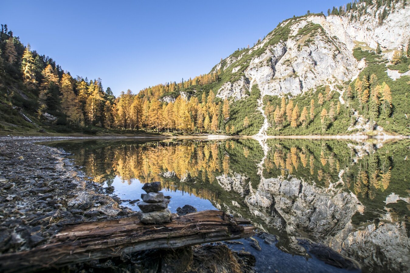
Ahornsee | © TVB Schladming-Dachstein | Gerhard Pilz
1/8
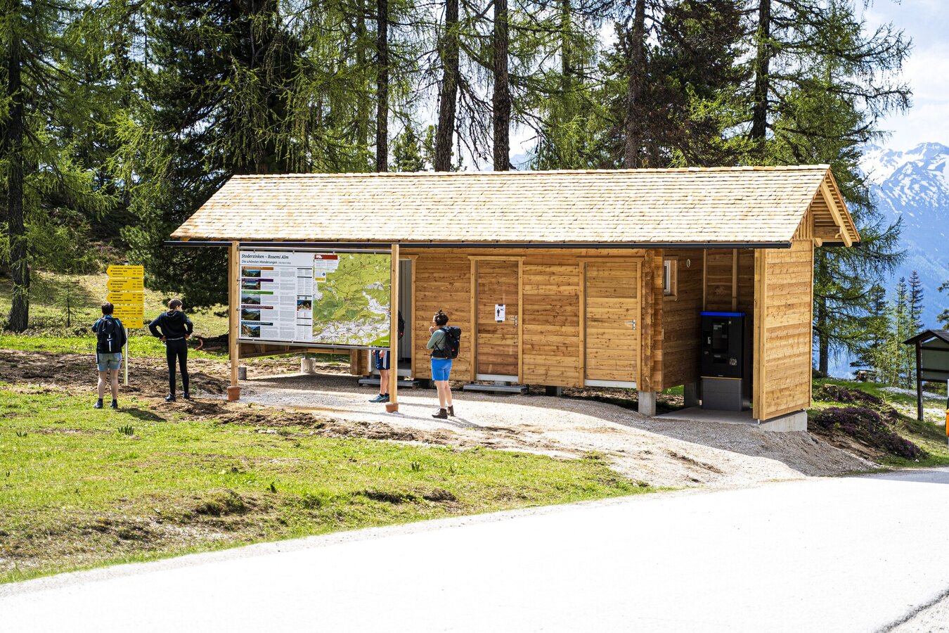
Hiking portal at Stoderzinken | © Tourismusverband Schladming-Dachstein | Gerhard Pilz
2/8
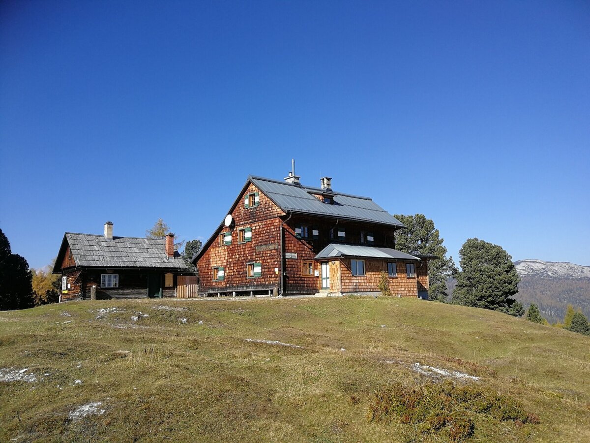
Brünnerhütte am Stoderzinken | © Alpenverein Gröbming | Schladming Dachstein
3/8
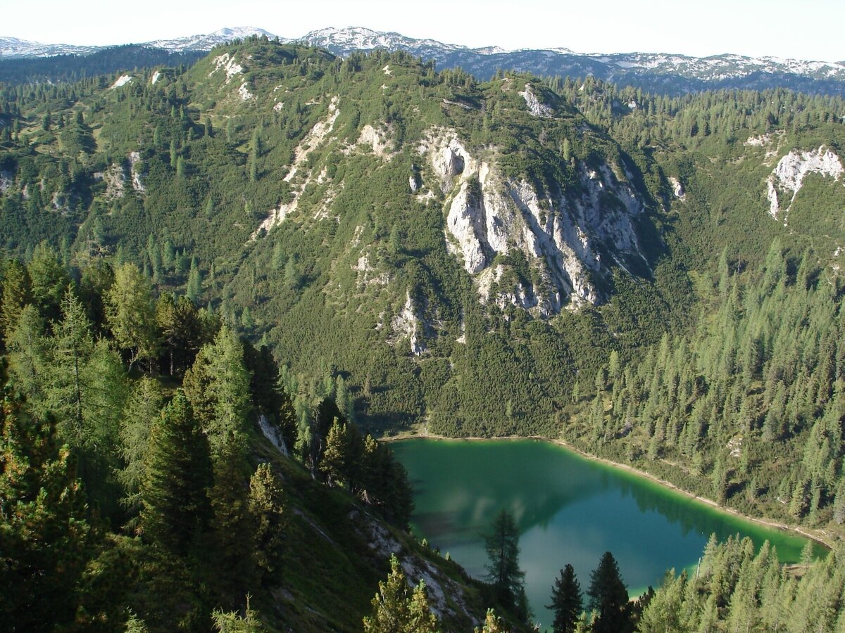
Grafenbergsee | © Privat | Schladming Dachstein
4/8
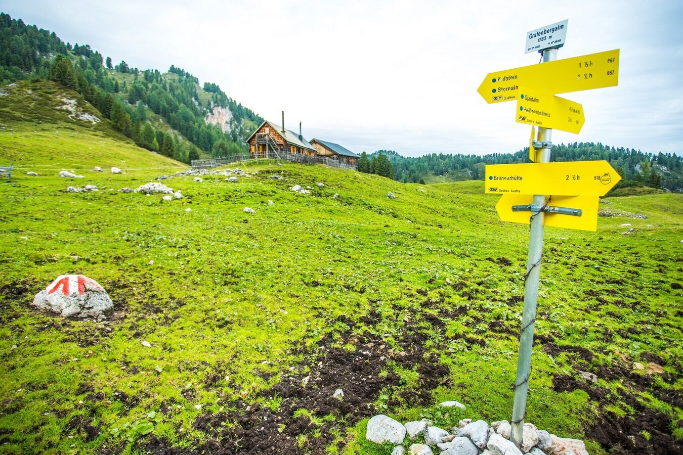
Signpost at the Grafenbergalm | René Eduard Perhab
5/8
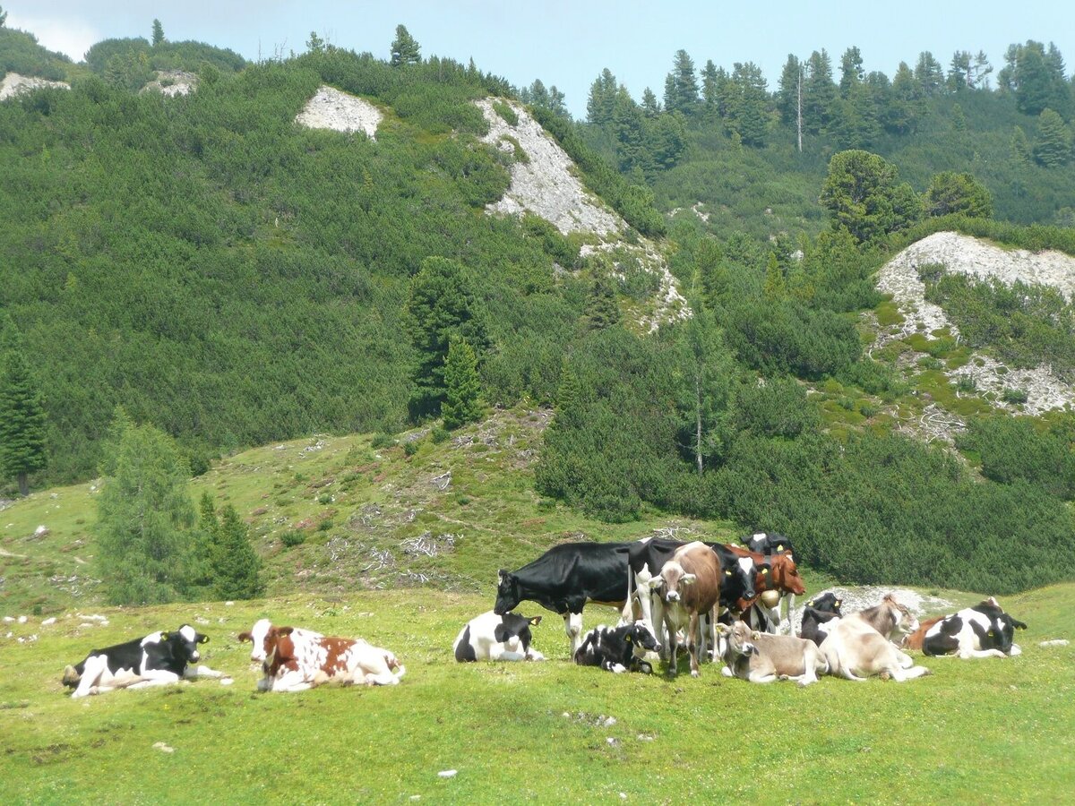
Grafenbergalm - tierische Bewohner | © Privat | Schladming Dachstein
6/8
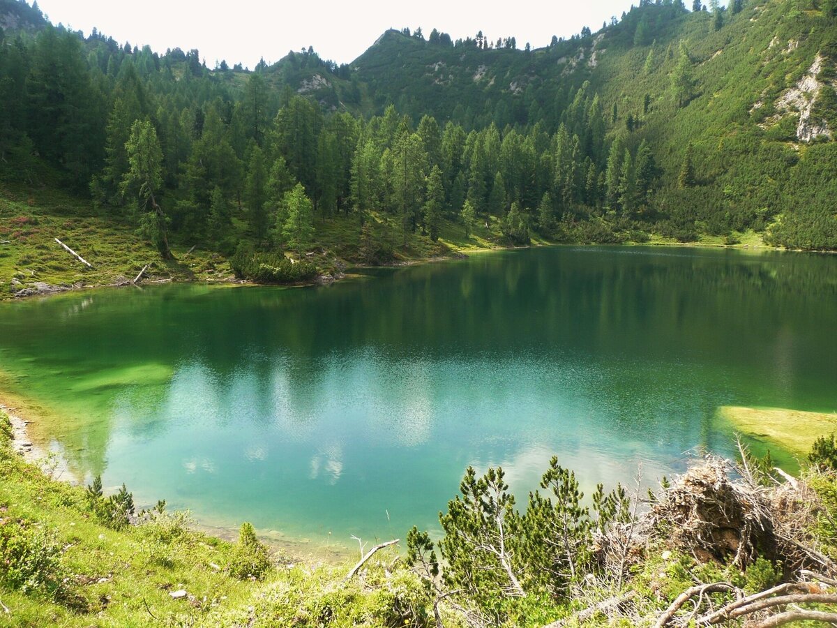
Ahornsee | © Privat | Schladming Dachstein
7/8
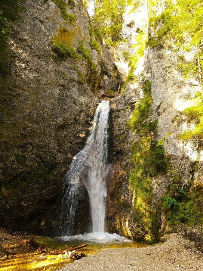
Gradenbachwasserfall | © Privat | Schladming Dachstein
8/8

What the weather will be like Aich (700m)
Today, 18.10.2026
Morning clouds will clear gradually. Then frequent sunny periods.Morning

7°C
sr.Regenwahrscheinlichkeit
0%
sr.Windstärke
0 km/h
Noon
17°C
sr.Regenwahrscheinlichkeit
0%
sr.Windstärke
10 km/h
Night

11°C
sr.Regenwahrscheinlichkeit
0%
sr.Windstärke
5 km/h
Tomorrow, 19.10.2026
Early clouds will clear to leave the region with a dry and sunny day.Morning
5°C
sr.Regenwahrscheinlichkeit
0%
sr.Windstärke
0 km/h
Noon
15°C
sr.Regenwahrscheinlichkeit
0%
sr.Windstärke
10 km/h
Night

10°C
sr.Regenwahrscheinlichkeit
0%
sr.Windstärke
5 km/h
Forecast
20.10.2026
5°C
15°C
21.10.2026

6°C
15°C
22.10.2026

4°C
11°C
