


Granitzenbach natural monument via Rothaidenhütte to Waldheimhütte
Characteristics
SkillThe tour in numbers
Level of difficulty
easy
Route
16,1 km
Time
6:00 h
Uphill
791 hm
Downhill
791 hm
Highest point
1901 m
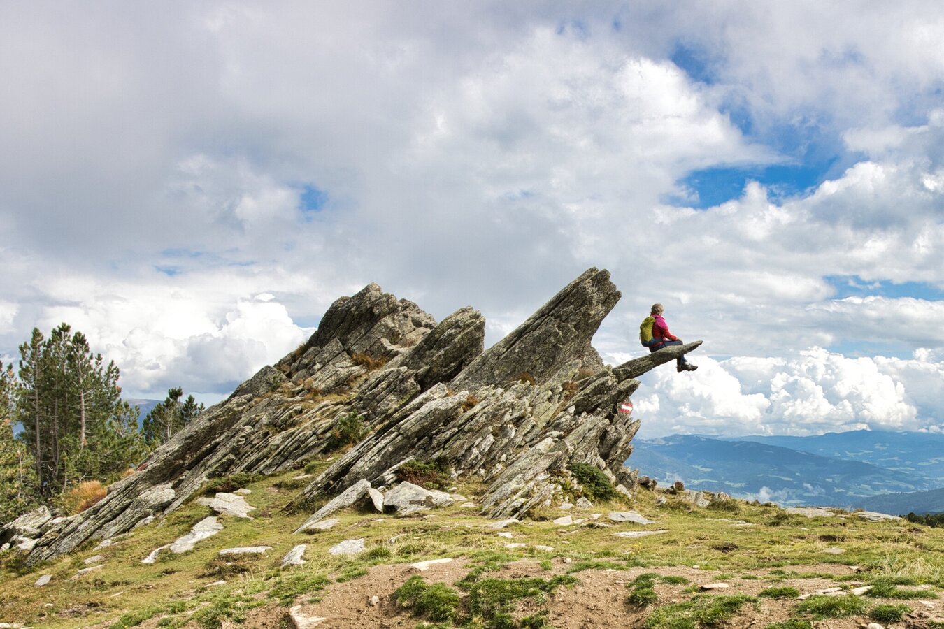
Experience an idyllic hike from the Granitzenbach natural monument via the Rothaidenhütte to the Waldheimhütte and back to the starting point in a circular hike. Enjoy the babbling brook, the refreshing forest, and the untouched nature.
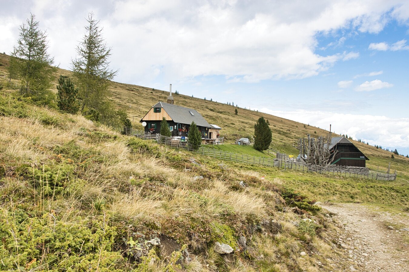
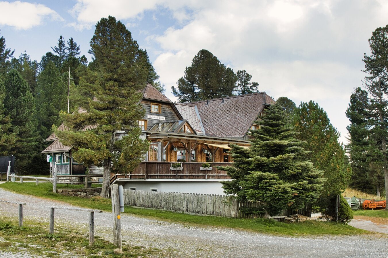
Set off from the Granitzenbach Natural Monument and walk to the Rothaidenhütte, where you can stop for a delicious snack, before continuing on a loop to the Waldheimhütte. The Herfried Fuchs Trail then takes you back to your starting point. Enjoy a wonderful, varied walk that offers a wide range of sights.
Best season
January
February
March
April
May
June
July
August
September
October
November
December
More information
Starting point: Obdach
-
You can reach Obdach easily via the B 78 federal road, which connects the Lavanttal valley with the Murtal valley.
From the town center of Obdach to the trailhead:
-
In the center of Obdach, turn into St. Wolfganger Straße opposite the Landhotel Groggerhof, next to the Raiffeisen Bank.
-
Follow this road straight ahead in the direction of Rötsch – Warbach – Granitzen – Mönchegg – St. Wolfgang.
-
After about 6.2 km, you will find a rather inconspicuous entrance on the left-hand side, opposite the Kleinpöltzl farm. This is where the parking area and trailhead for the Natural Monument are located.
A small but sufficient parking lot is available right at the entrance.
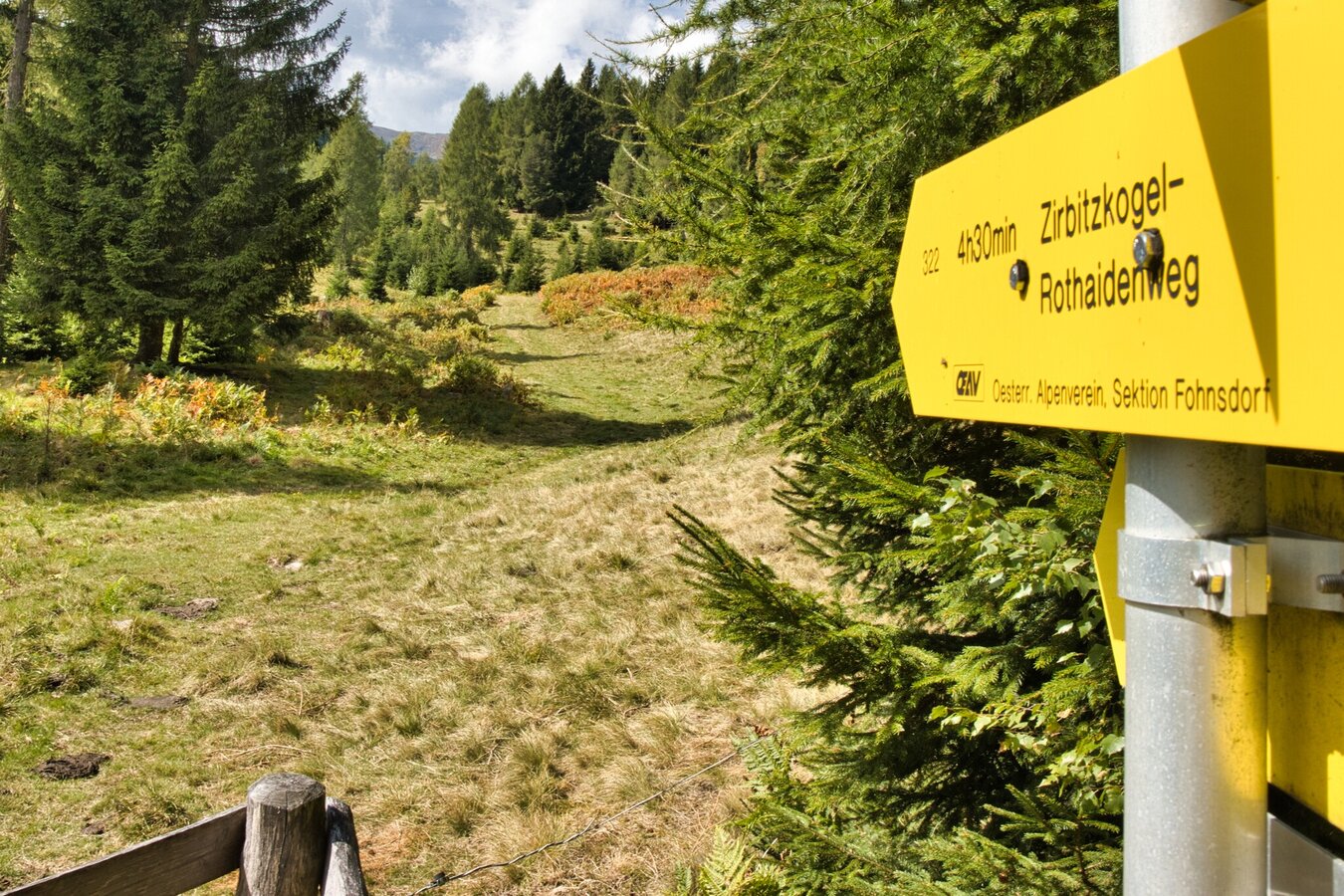
From the Granitzenbach parking lot, follow the directions to the natural monument, then keep left along the marked trails to the Rothaidenhütte. From the Rothaidenhütte, follow the signs to the Waldheimhütte. Follow the Herfried-Fuchs-Weg to the bridge over the Granitzenbach below the Bachsteiner farmstead. Here, follow the stream along the adventure trail to the access road to St. Wolfgang.
Good hiking boots, weather-appropriate clothing, snacks, drinks
There is no direct bus or train connection to the trailhead – it is therefore best to travel by car.
Map & downloads
Gallery
rothaiden_-_waldheinhuette_cweges_6.jpg | © Weges OG | Weges OG
1/4
rothaiden_-_waldheinhuette_cweges_18.jpg | © WEGES OG | WEGES OG
2/4
rothaiden_-_waldheinhuette_cweges_30.jpg | © WEGES OG | WEGES OG
3/4
rothaiden_-_waldheinhuette_cweges_33_283251372.jpg | © WEGES OG | WEGES OG
4/4

What the weather will be like Obdach (868m)
Today, 16.10.2026
Dry and sunny throughout the day with hardly any clouds.Morning

4°C
sr.Regenwahrscheinlichkeit
0%
sr.Windstärke
5 km/h
Noon
16°C
sr.Regenwahrscheinlichkeit
0%
sr.Windstärke
5 km/h
Night
9°C
sr.Regenwahrscheinlichkeit
0%
sr.Windstärke
5 km/h
Tomorrow, 17.10.2026
Dry and partly sunny throughout the day, with cloudy periods from time to time.Morning

5°C
sr.Regenwahrscheinlichkeit
0%
sr.Windstärke
5 km/h
Noon

16°C
sr.Regenwahrscheinlichkeit
0%
sr.Windstärke
5 km/h
Night
10°C
sr.Regenwahrscheinlichkeit
0%
sr.Windstärke
5 km/h
Forecast
18.10.2026
7°C
16°C
19.10.2026
6°C
16°C
20.10.2026
6°C
14°C
