


Gaaler Höhe starting from Gaal
Characteristics
SkillThe tour in numbers
Level of difficulty
medium
Route
10,0 km
Time
4:00 h
Uphill
710 hm
Downhill
710 hm
Highest point
1539 m
A wooded hike from the Gaal sports center parking lot to the Gaal ridge.
This moderately difficult hike leads mainly through forests.
Best season
January
February
March
April
May
June
July
August
September
October
November
December
More information
Knittelfeld West - Gaal - Gaal sports center
Free parking - Gaal sports center
Free parking - Gaal sports center
The trail leads along well-signposted forest paths from the Gaal sports center via an asphalt road to the Schintelbacherhof, from where it continues through the forest. To the finish, the Gaaler Höhe. You can also follow the markings 08, long-distance hiking trail. Return the same way.
Avoid time pressure and choose a pace that ensures no one in the group gets out of breath.
Falls as a result of slipping or stumbling are the most common cause of accidents! Be aware that too fast a pace or tiredness can severely impair your surefootedness and concentration.
Good hiking boots protect and relieve the foot and improve sure-footedness! When making your choice, look for a perfect fit, non-slip tread sole, waterproofness and low weight.Adapt your equipment to your hike and make sure your rucksack is light. Nevertheless, rain, cold and sun protection should always be in your backpack, as well as a first aid kit and cell phone (Euro emergency number 112). A map or GPS will help you find your way.
There are opportunities to relax at the starting point - whether at the Gaal bathing pond or the Gaal fishing pond.
The tour is accessible by public transport, Knittelfeld train station by bus to Gaal. However, you can spend a few lovely days here and take advantage of one of the numerous hiking opportunities.
More information at www.murtal.at/wandern Wanderkarte freytag & berndt WK 212 Seetaler Alpen, Seckauer Alpen, Judenburg, Knittelfeld
Wegnummer: 908
You can also find this tour on the following hiking map:
Region Murtal - Hiking map 1 & 2 - Tour 20c
The hiking maps 1,2&3 - you can get for free at the tourism association Murtal - info@murtal.at - Tel.: +43 3577 26600
You can also find more information about the region on - www.murtal.at
Map: freytag & berndtMap & downloads
Gallery
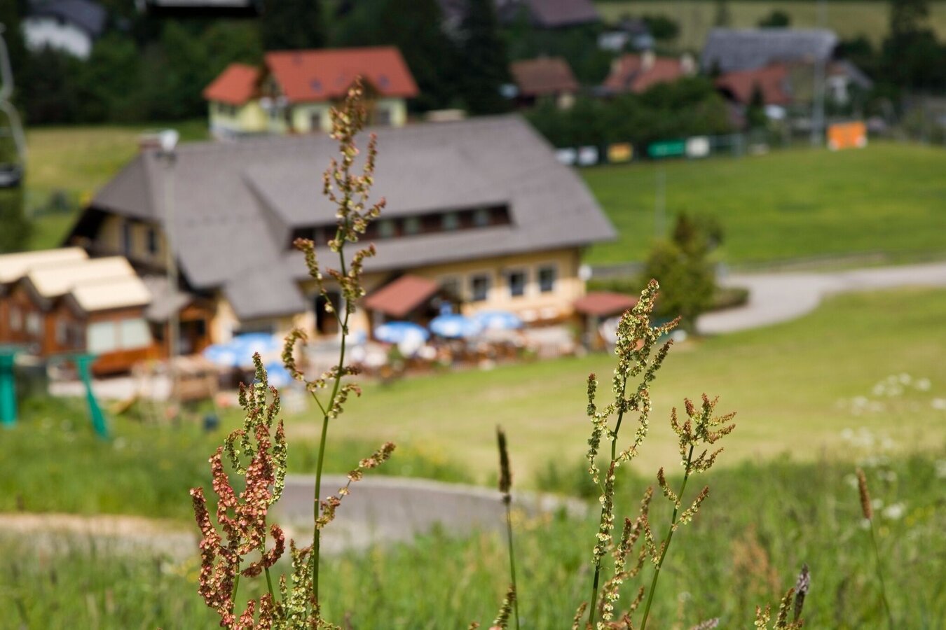
Sportzentrum Gaal | © Erlebnisregion Murtal | Manuela Machner
1/4
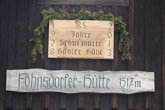
Jubiläumstafel | © Erlebnisregion Murtal | Erlebnisregion Murtal
2/4
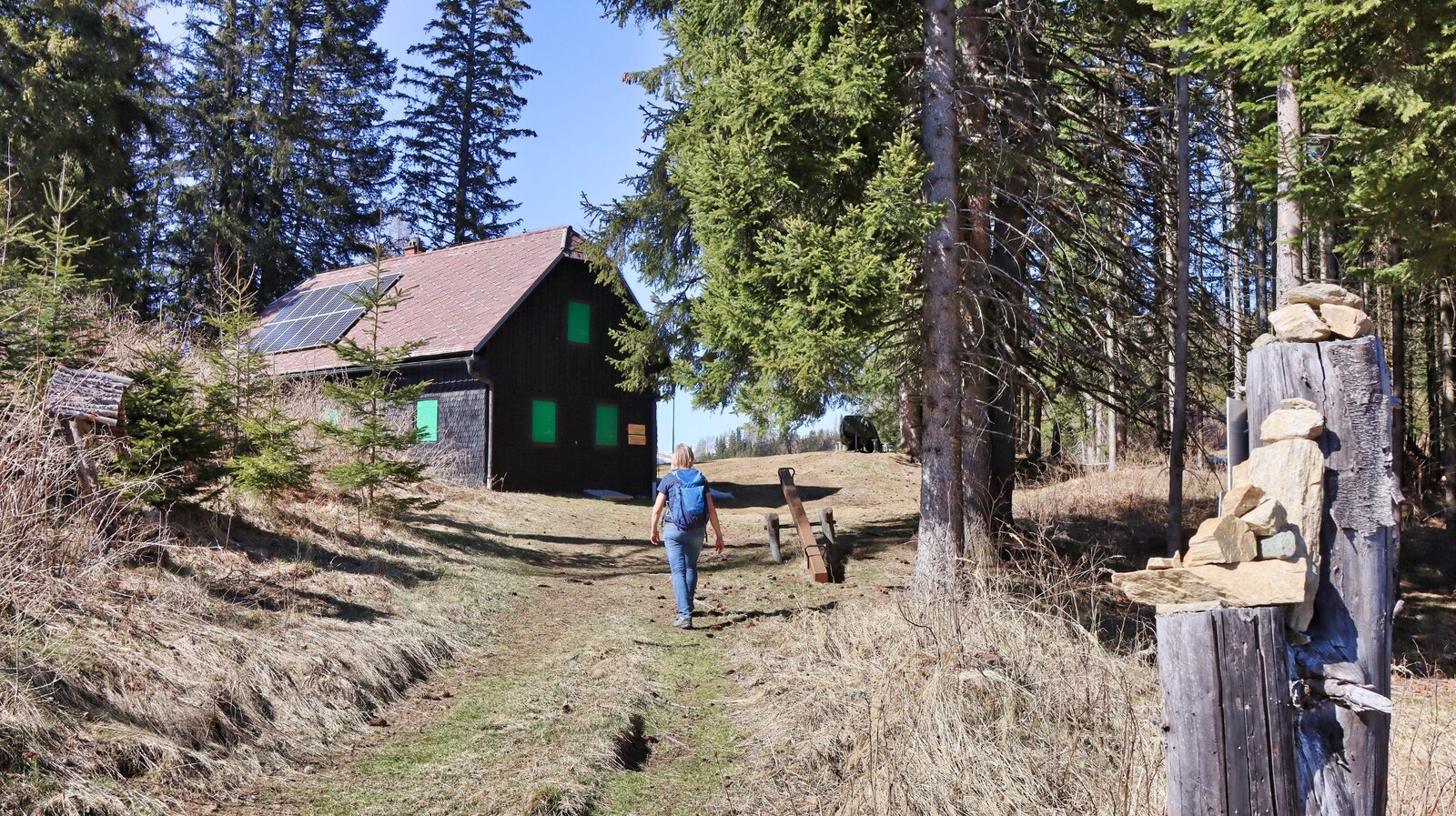
Die Fohnsdorfer Hütte / Gaaler Höhe | © Weges OG | Weges OG
3/4
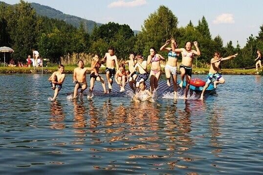
Badeteich Gaal | © Erlebnisregion Murtal | Manuela Machner
4/4

What the weather will be like Gaal (874m)
Today, 16.10.2026
Dry and sunny throughout the day with hardly any clouds.Morning

4°C
sr.Regenwahrscheinlichkeit
0%
sr.Windstärke
0 km/h
Noon
16°C
sr.Regenwahrscheinlichkeit
0%
sr.Windstärke
5 km/h
Night
8°C
sr.Regenwahrscheinlichkeit
0%
sr.Windstärke
0 km/h
Tomorrow, 17.10.2026
Dry and partly sunny throughout the day, with cloudy periods from time to time.Morning

5°C
sr.Regenwahrscheinlichkeit
0%
sr.Windstärke
0 km/h
Noon

16°C
sr.Regenwahrscheinlichkeit
0%
sr.Windstärke
5 km/h
Night
10°C
sr.Regenwahrscheinlichkeit
0%
sr.Windstärke
0 km/h
Forecast
18.10.2026
7°C
16°C
19.10.2026
5°C
16°C
20.10.2026
6°C
15°C
