


Ennsweg West
Characteristics
SkillThe tour in numbers
Level of difficulty
easy
Route
16,9 km
Uphill
127 hm
Downhill
122 hm
Highest point
763 m
From Admont along the Enns River to the Frauenberg Pilgrimage Church and back
A lush, green walking trail along the Enns River and up the Bettlersteig trail to the Frauenberg Parish and Pilgrimage Church
Best season
January
February
March
April
May
June
July
August
September
October
November
December
More information
Along the Enns river
sturdy shoes and water
Gesäuse Tourism Association
Hauptstraße 35, 8911 Admont, Austria
t: +43 3613 2116010
www.gesaeuse.at
Email: info@gesaeuse.at
Hauptstraße 35, 8911 Admont, Austria
t: +43 3613 2116010
www.gesaeuse.at
Email: info@gesaeuse.at
Map & downloads
Gallery
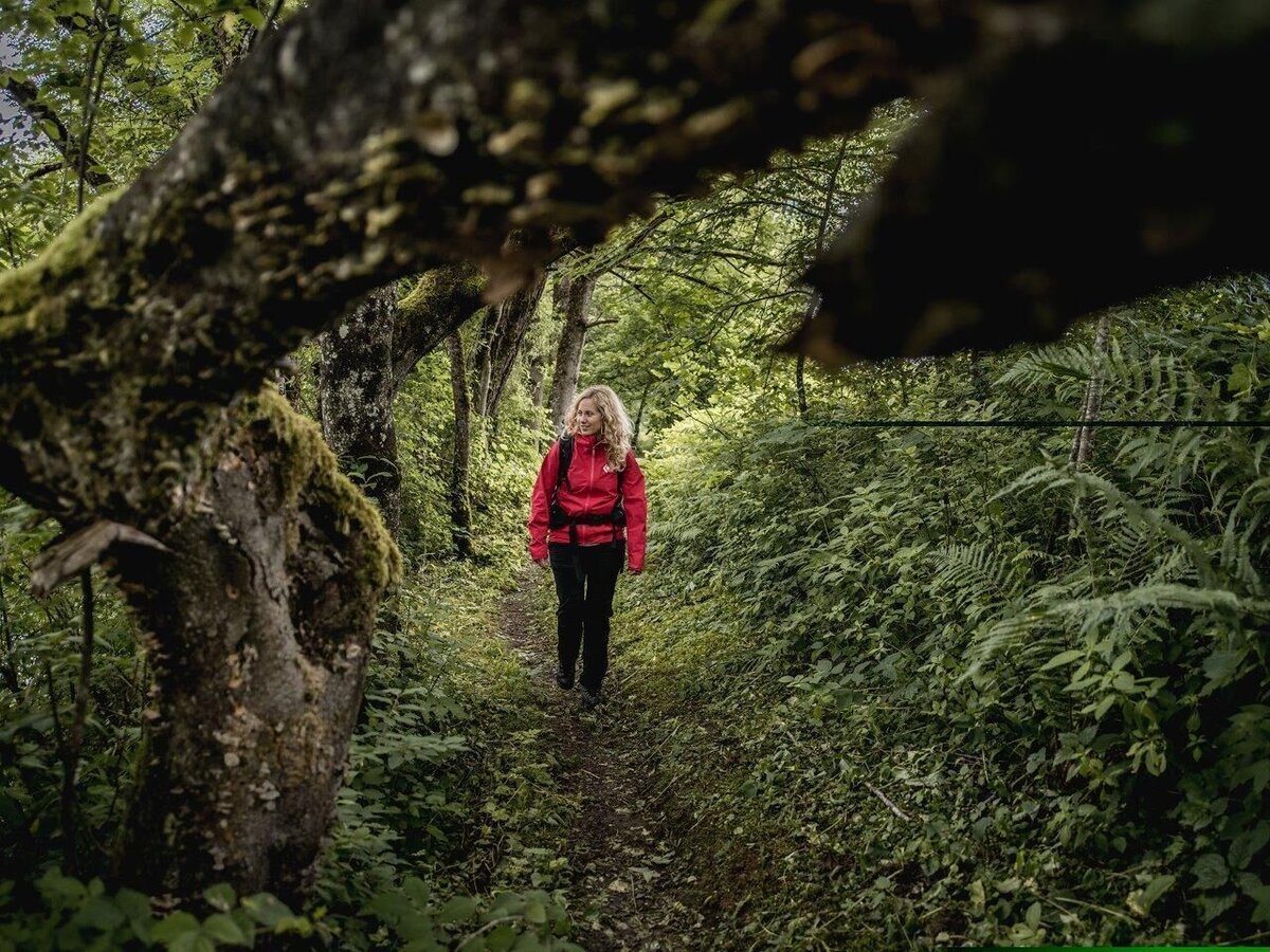
Ennsweg nach Admont | © TV Gesäuse | Tourismusverband Gesäuse
1/1

What the weather will be like Admont (635m)
Today, 18.10.2026
Early clouds will gradually clear to leave the region with a dry and sunny day.Morning

9°C
sr.Regenwahrscheinlichkeit
0%
sr.Windstärke
0 km/h
Noon

16°C
sr.Regenwahrscheinlichkeit
0%
sr.Windstärke
5 km/h
Night

12°C
sr.Regenwahrscheinlichkeit
0%
sr.Windstärke
5 km/h
Tomorrow, 19.10.2026
Dry and partly sunny throughout the day, with cloudy periods from time to time.Morning
6°C
sr.Regenwahrscheinlichkeit
0%
sr.Windstärke
0 km/h
Noon
14°C
sr.Regenwahrscheinlichkeit
0%
sr.Windstärke
5 km/h
Night
10°C
sr.Regenwahrscheinlichkeit
0%
sr.Windstärke
10 km/h
Forecast
20.10.2026
6°C
17°C
21.10.2026

7°C
17°C
22.10.2026
5°C
11°C
