


Weidau Round I 808
Characteristics
SkillThe tour in numbers
Level of difficulty
challenging
Route
21,0 km
Time
2:30 h
Uphill
380 hm
Downhill
383 hm
Highest point
967 m
A varied MTB route through the Krumpengraben and across the Weidau, featuring long gravel climbs, beautiful views and challenging sections around Trofaiach.
The Weidau Runde 808 is a challenging and varied mountain bike route for experienced cyclists. Over a distance of around 22.9 kilometres, the route involves an ascent of approximately 740 metres.
Starting from the Krumpenloipe area, the route initially follows the Krumpenbach stream into the Krumpengraben valley. At the Hirnalm car park, the longer climb through the forest begins, leading to the highest point of the tour. The route then takes you via Weidau towards Gladen and Kurzheim.
It continues via the Gößgraben to Gimplach and over the Putzenberg. The varied route combines longer gravel sections with tarmac side roads and offers frequent views of the Trofaiach basin and the surrounding mountains.
Very good fitness required.
With an elevation gain of around 740 metres over just under 23 kilometres, the Weidau Loop features several long climbs. The climb from the Hirnalm area up to Weidau, in particular, demands considerable stamina and strength.
Starting from the Krumpenloipe area, the route initially follows the Krumpenbach stream into the Krumpengraben valley. At the Hirnalm car park, the longer climb through the forest begins, leading to the highest point of the tour. The route then takes you via Weidau towards Gladen and Kurzheim.
It continues via the Gößgraben to Gimplach and over the Putzenberg. The varied route combines longer gravel sections with tarmac side roads and offers frequent views of the Trofaiach basin and the surrounding mountains.
Very good fitness required.
With an elevation gain of around 740 metres over just under 23 kilometres, the Weidau Loop features several long climbs. The climb from the Hirnalm area up to Weidau, in particular, demands considerable stamina and strength.
Best season
January
February
March
April
May
June
July
August
September
October
November
December
More information
Drive on the B115 from Leoben in the direction of Vordernberg and take the exit Hafning/Krumpenloipe. Directly at the exit you will find the parking lot of the Krumpenloipe.
Free parking at the parking lot of the Krumpenloipe.
Free parking at the parking lot of the Krumpenloipe.
The starting point is the car park at the Krumpenloipe in Hafning.
From here, the route initially follows the Krumpenbach stream into the Krumpengraben. Follow the path as far as the Hirnalm car park, where the route branches off to the left.
A long, steady climb through the forest now begins. The highest point of this section of the route is reached at around 967 metres above sea level.
The route then leads via Weidau and the area around the water basin towards Gladen. From there, it continues on to Kurzheim.
Via Gößgrabenstraße, the circuit then heads towards Gößmühle.
The route then continues on to Gimplach and up to the Putzenberg.
The return journey leads back down into the valley. Near the sports hall, the route crosses the railway line. It then follows the former railway line again towards Hafning and back to the starting point.
From here, the route initially follows the Krumpenbach stream into the Krumpengraben. Follow the path as far as the Hirnalm car park, where the route branches off to the left.
A long, steady climb through the forest now begins. The highest point of this section of the route is reached at around 967 metres above sea level.
The route then leads via Weidau and the area around the water basin towards Gladen. From there, it continues on to Kurzheim.
Via Gößgrabenstraße, the circuit then heads towards Gößmühle.
The route then continues on to Gimplach and up to the Putzenberg.
The return journey leads back down into the valley. Near the sports hall, the route crosses the railway line. It then follows the former railway line again towards Hafning and back to the starting point.
You should carry a basic set of tools and accessories on every mountain bike ride. We recommend a spare inner tube and/or a repair kit, a spanner, a pump, brake and gear cables, and a screwdriver. A cycling helmet and clothing suitable for the weather are also part of the basic kit.
On the Weidau Loop, particular attention should be paid to barriers. On descents, adjust your speed to suit the trail conditions and visibility. After rainfall, gravel paths may be washed out or slippery.
Emergency services: 144.
When making an emergency call, provide as precise details as possible based on the six W questions:
What has happened?
How many people are injured?
Where did the accident happen? If possible, provide GPS coordinates.
Who is reporting the accident? Provide a callback number.
When did the accident happen? What are the weather conditions at the scene of the accident?
On the Weidau Loop, particular attention should be paid to barriers. On descents, adjust your speed to suit the trail conditions and visibility. After rainfall, gravel paths may be washed out or slippery.
Emergency services: 144.
When making an emergency call, provide as precise details as possible based on the six W questions:
What has happened?
How many people are injured?
Where did the accident happen? If possible, provide GPS coordinates.
Who is reporting the accident? Provide a callback number.
When did the accident happen? What are the weather conditions at the scene of the accident?
Stop for a bite to eat:
Timetables and travel information can be found directly at: Österreichischen Bundesbahnen (ÖBB), Steiermärkischen Landesbahnen (STLB), www.busbahnbim.at
With the Verbundlinie’s BusBahnBim App, checking timetables has never been easier: you can search for all bus, train and tram connections in Austria by entering locations and/or addresses, stops or key points. The app is available free of charge for smartphones (Android, iOS) – on Google Play and in the App Store.
With the Verbundlinie’s BusBahnBim App, checking timetables has never been easier: you can search for all bus, train and tram connections in Austria by entering locations and/or addresses, stops or key points. The app is available free of charge for smartphones (Android, iOS) – on Google Play and in the App Store.
Tourismusverband Erzberg-Leoben
Tourist office
Homanngasse 12
8700 Leoben
Phone: +43 3842 48148
office@erzberg-leoben.at
www.erzberg-leoben.at
Eisenwadl.TESTED offers details and info about the tour online at www.eisenwadl.at
Map & downloads
Gallery
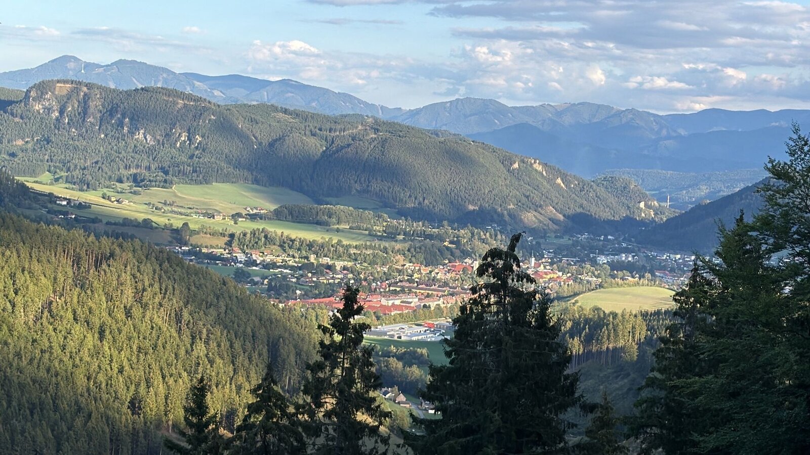
ausblick__rosskogler.jpg | © TVB Erzberg-Leoben | C.Rosskogler
1/3
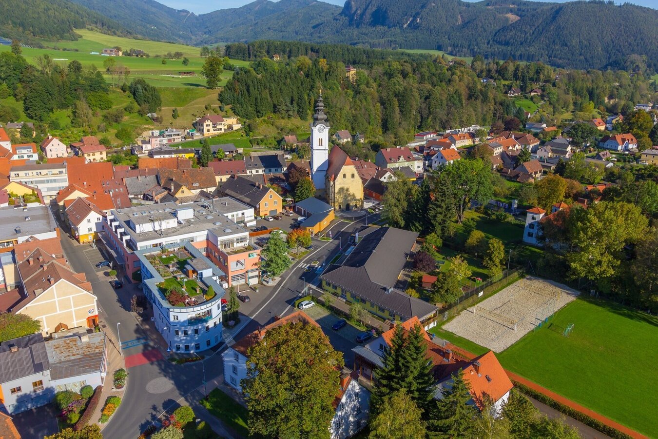
Trofaiach | © Stadtgemeinde Trofaiach | Gerit Schatz-Mocharitsch
2/3
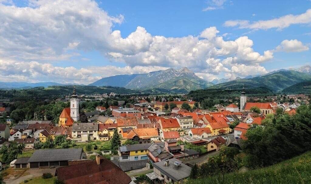
Trofaiach | © Tourismusverband ERZBERG LEOBEN | Gerit Schatz-Mocharitsch
3/3

What the weather will be like Trofaiach (658m)
Today, 22.09.2026
First variable with showers, becoming drier and brighter in the afternoon.Morning

8°C
sr.Regenwahrscheinlichkeit
55%
sr.Windstärke
5 km/h
Noon
16°C
sr.Regenwahrscheinlichkeit
55%
sr.Windstärke
10 km/h
Night

10°C
sr.Regenwahrscheinlichkeit
45%
sr.Windstärke
5 km/h
Tomorrow, 23.09.2026
Dry and sunny throughout the day with hardly any clouds.Morning

5°C
sr.Regenwahrscheinlichkeit
0%
sr.Windstärke
0 km/h
Noon
17°C
sr.Regenwahrscheinlichkeit
0%
sr.Windstärke
5 km/h
Night
10°C
sr.Regenwahrscheinlichkeit
0%
sr.Windstärke
0 km/h
Forecast
24.09.2026
4°C
17°C
25.09.2026
6°C
18°C
26.09.2026
6°C
20°C
