


The Alpine Railway Hiking Trail "World Heritage Region - Mürzer Oberland Nature Park"
Characteristics
SkillThe tour in numbers
Level of difficulty
challenging
Route
27,2 km
Time
6:30 h
Uphill
1100 hm
Downhill
1170 hm
Highest point
1560 m
A very long, yet highly diverse hike from Lower Austria into Styria, from the World Heritage Semmering Railway to the Mürzer Oberland Nature Park. Technically easy, well-marked and signposted, with numerous scenic viewpoints, such as the famous "20 Schilling View", and close-up views of Rax, Schneealpe, and the Fischbacher Alps.
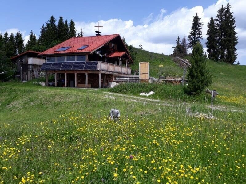
Overnight accommodation (reservation required) is available on weekends at the Scheibenhütte.
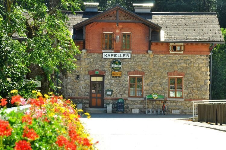
Starting from Semmering / Lower Austria, after a small circular route, the hike continues over Pinkenkogel (the hut is currently closed) and the scenic Kampalpe to Hohe Scheibe, where the Scheibenhütte is staffed on weekends. From there, descend all the way down, passing the Bleiweißgrube (cave) to Kapellen in the Mürzer Oberland Nature Park.
The historic Semmering Railway is almost always in view.
Best season
January
February
March
April
May
June
July
August
September
October
November
December
More information
Travel to Semmering: You can find the travel plan online.
Sufficient parking is available at Semmering.
The Alpine Railway Hiking Trail is a classic marked hiking trail with some short, steeper sections, but without any exposed passages. However, good physical fitness for a 6-7 hour hike is a prerequisite.
Mountain rescue emergency number: 140, the entire trail is covered by the Mürzzuschlag Mountain Rescue for rescue operations.
Emergency reporting tip – Answer the six following questions:
- What happened?
- How many injured?
- Where did the accident occur (possibly GPS coordinates)?
- Who is reporting (call-back number)?
- When did the accident happen?
- Weather at the accident site?
For the Alpine Railway Hiking Trail, standard hiking gear, sturdy footwear, and rain protection are recommended.
Properly packing your backpack makes everything easier:
- Pack heavy items first.
- The water bottle should always be easily accessible in a side pocket.
- Frequently needed items like sunglasses, camera, or hiking map should go on top.
An emergency kit, including blister plasters, should be in every backpack, and layered clothing ("onion system") is always recommended!
At Semmering, make a brief visit to the World Heritage Exhibition (located at the train station, open only in summer). In Kapellen, see the world's largest spinning wheel, and afterwards, be sure to visit the roasting station for their self-roasted coffee specialties.
ÖBB www.oebb.at or Verbundlinie Steiermark www.busbahnbim.at
With the BusBahnBim app from Verbundlinie, timetable information has never been easier. All bus, train, and tram connections in Austria can be searched by entering locations, addresses, stops, or key points.
The app is available for free on smartphones (Android, iOS) via Google Play and the App Store.
Tourism Association Hochsteiermark
Tel.: +43 3862 55020
www.steiermark.com/hochsteiermark
Map & downloads
Gallery
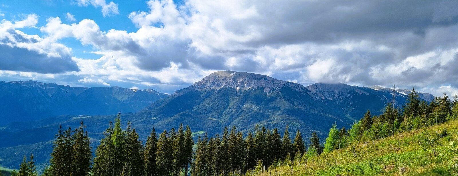
Rax und Schneealm | © TV Hochsteiermark | Andreas Steininger
1/10
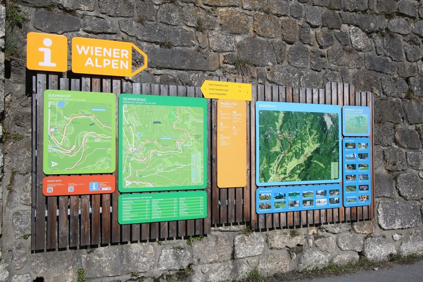
Wanderstartplatz Bahnhof Semmering | © Wiener Alpen | Christian Wolf
2/10
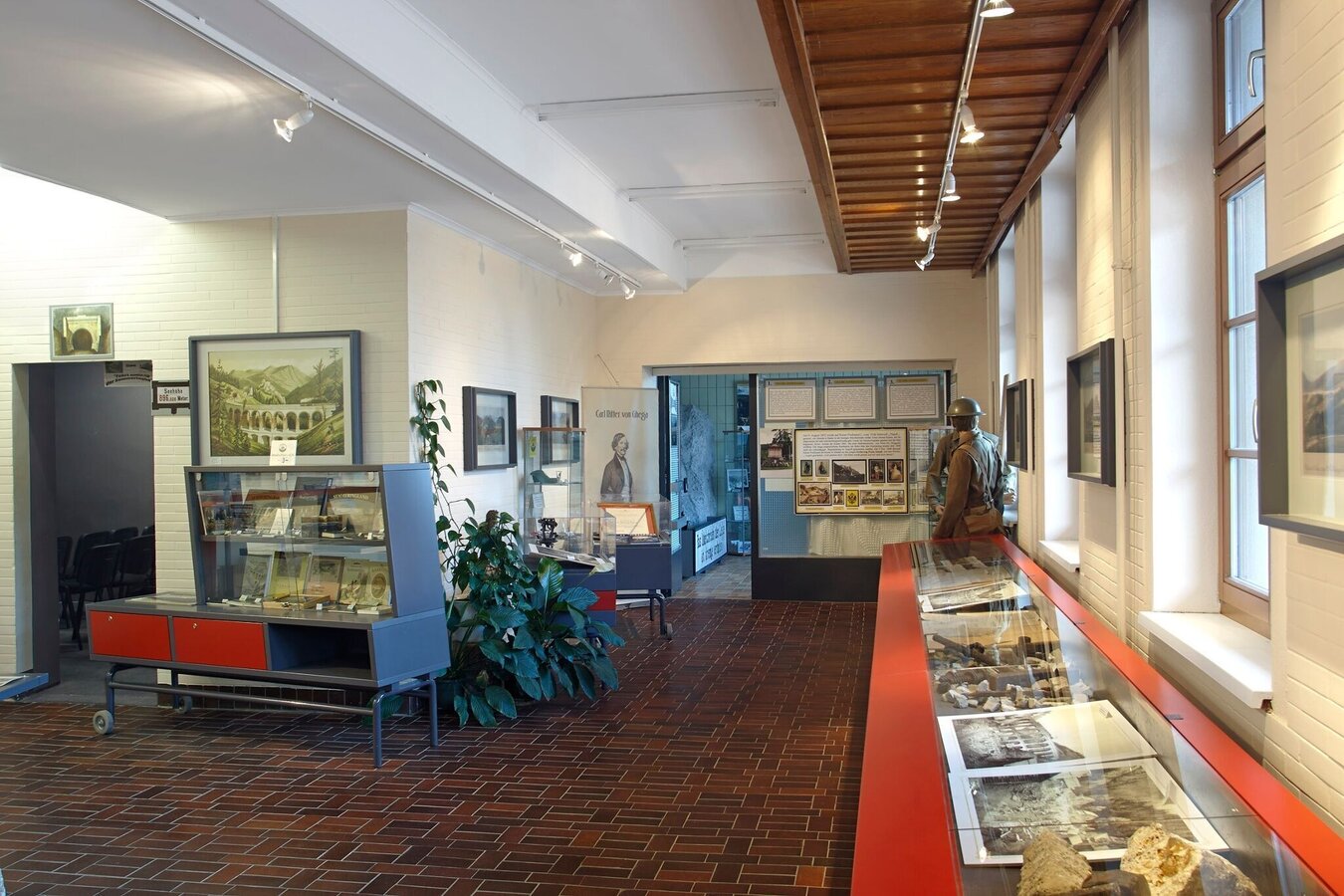
Weltkulturerbe Infozentrum am Bahnhof Semmering | © Wiener Alpen | Bene Croy
3/10
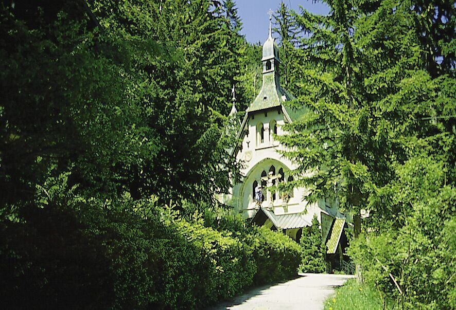
der alpine bahnwanderweg "welterberegion - naturpark mürzer oberland"_img_15053391 | © Wiener Alpen in Niederösterreich - Semmering Rax | Andrea Beran
4/10
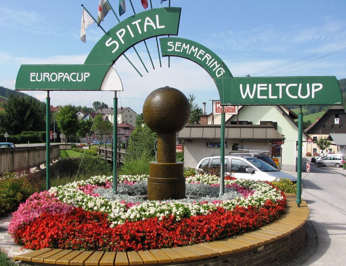
Der Weltcup-Brunnen im Zentrum von Spital | © Gemeinde Spital am Semmering
5/10
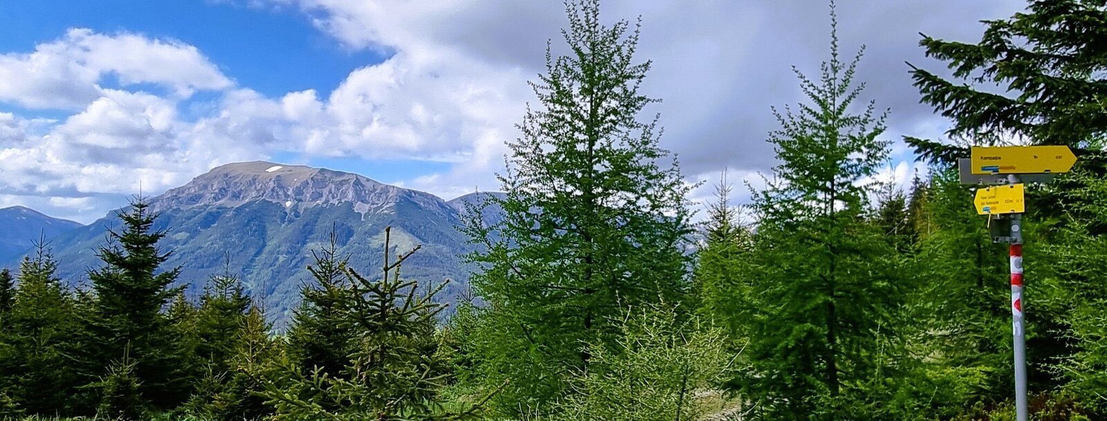
Am Weg zum Drahtekogel | © TV Hochsteiermark | Andreas Steininger
6/10
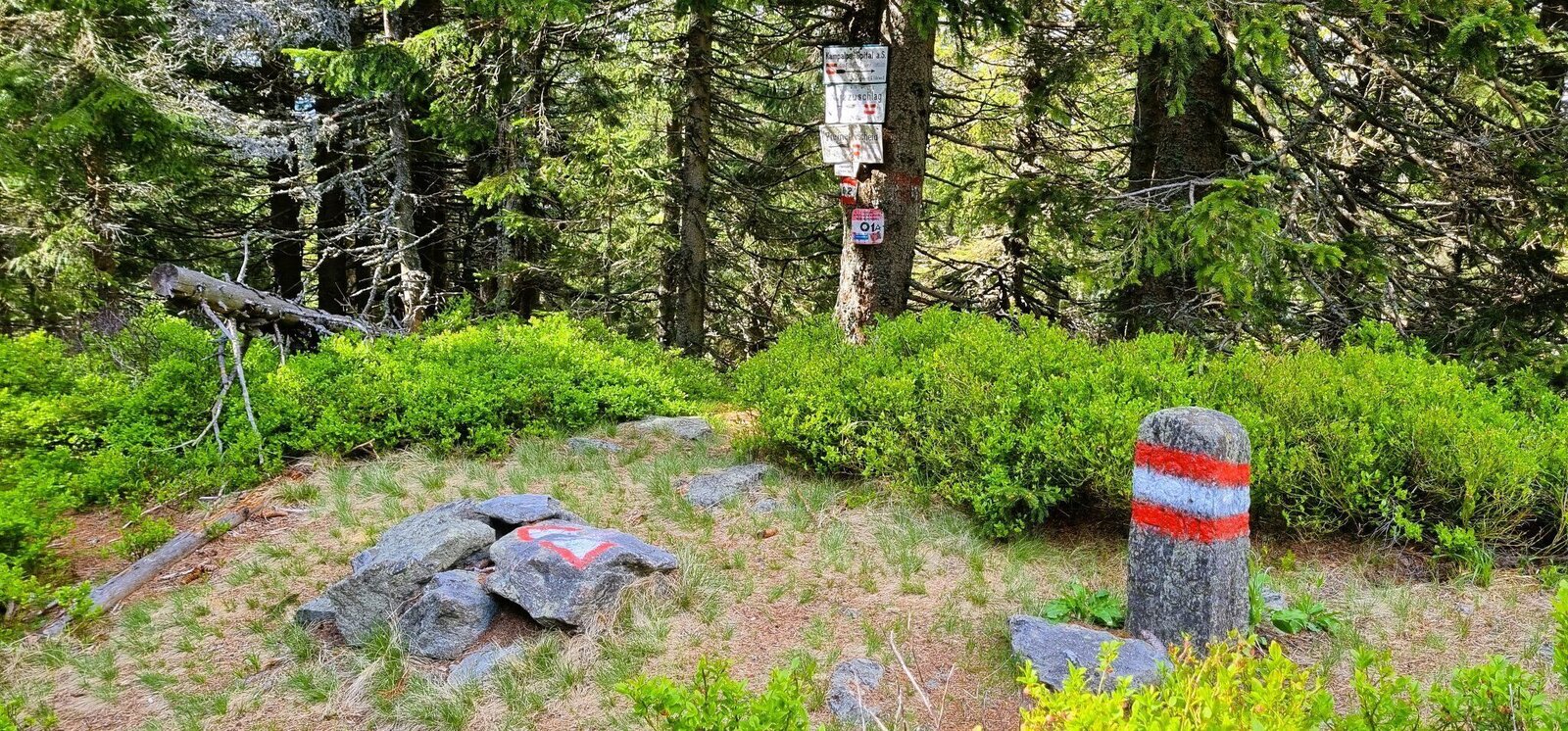
Drahtekogel | © TV Hochsteiermark | Andreas Steininger
7/10
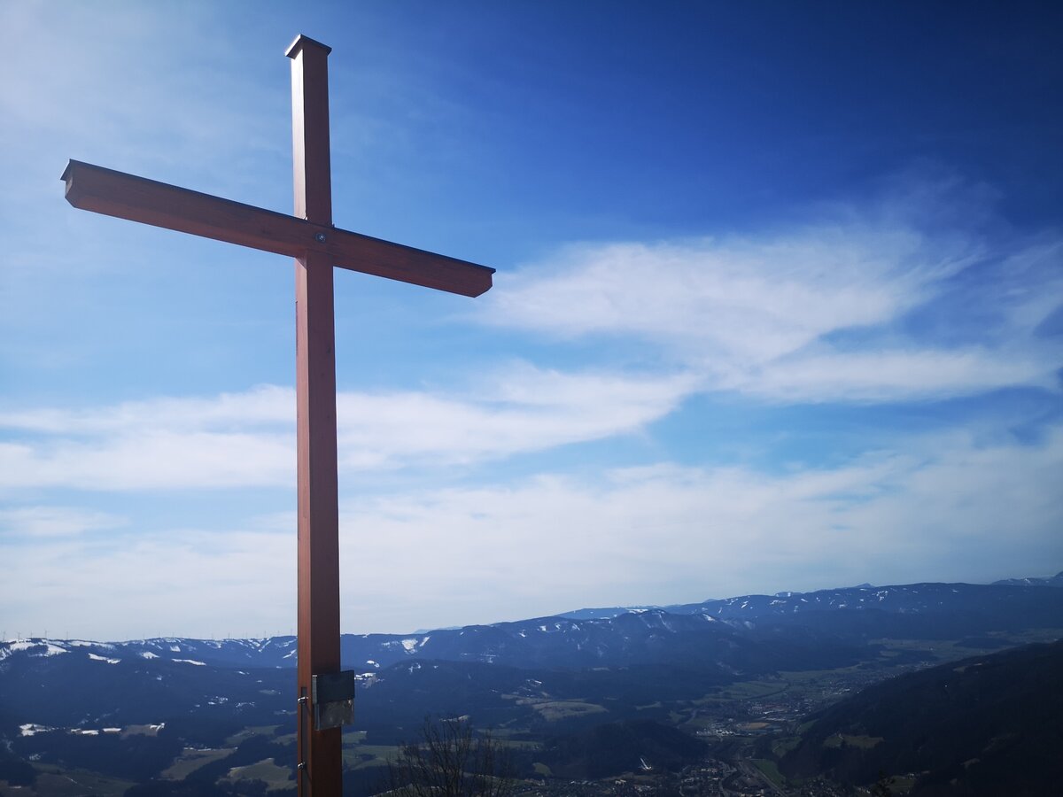
Das Gipfelkreuz auf der Großen Scheibe mit herrlichem Blick auf das Mürztal. | © TV Hochsteiermark | Silke Blengl
8/10
der alpine bahnwanderweg "welterberegion - naturpark mürzer oberland"_img_37303556 | © Alpenverein Mürzzuschlag | Annamaria Eichtinger
9/10
Johann roasting station | © TV Hochsteiermark | Daniela Paul
10/10

What the weather will be like Spital am Semmering (774m)
Today, 23.10.2026
The day starts sunny, but will be partly cloudy in the afternoon.Morning

2°C
sr.Regenwahrscheinlichkeit
0%
sr.Windstärke
10 km/h
Noon

10°C
sr.Regenwahrscheinlichkeit
0%
sr.Windstärke
10 km/h
Night
5°C
sr.Regenwahrscheinlichkeit
0%
sr.Windstärke
5 km/h
Tomorrow, 24.10.2026
Some rain in the early morning. The rest of the day will be mostly cloudy, but dry.Morning

4°C
sr.Regenwahrscheinlichkeit
80%
sr.Windstärke
5 km/h
Noon

7°C
sr.Regenwahrscheinlichkeit
55%
sr.Windstärke
10 km/h
Night
3°C
sr.Regenwahrscheinlichkeit
30%
sr.Windstärke
5 km/h
Forecast
25.10.2026
0°C
10°C
26.10.2026
4°C
12°C
27.10.2026
3°C
14°C
