


Stage 08 From Glacier to Wine South Route Putzentalalm - Krakau
Characteristics
SkillThe tour in numbers
Level of difficulty
medium
Route
16,1 km
Time
6:30 h
Uphill
872 hm
Downhill
923 hm
Highest point
2211 m
This stage of the Hiking Trail From Glacier to Wine leads from the Sölktäler Nature Park on the northern side of the Schladminger Tauern across the Prebertörl to the mountaineering village of Krakau on the southern side of the range.
This beautiful and often remote mountain tour traverses the Niedere Tauern from the Enns Valley to the Mur Valley side of the mountains. While the route rewards hikers with magnificent alpine scenery and a strong sense of wilderness, it also requires sure-footedness and confidence in mountain terrain.
The destination, Krakau, is one of Austria's recognised mountaineering villages and is renowned for its peaceful setting amidst the mountains of the Niedere Tauern. The high valley, which runs almost parallel to the Mur Valley, enjoys a particularly favourable climate. It is considered one of the sunniest areas in the region while also receiving comparatively low levels of precipitation.
Especially during the winter months, Krakau benefits from its well-ventilated east–west orientation, which largely prevents the formation of persistent fog. As a result, the valley often enjoys clear conditions and abundant sunshine, contributing to its reputation as an attractive destination for outdoor enthusiasts throughout the year.
In addition to the mountain huts, alpine pastures such as the Putzentalalm and the Möslhütte in the Prebert Valley, with their small and cosy rooms, have long been important destinations for hikers and mountaineers. Originally built as simple summer dwellings for alpine farmers and herdsmen, many of these huts gradually developed into popular stopping places for hiking excursions and mountain tours.
To this day, traditional food is prepared at many of these alpine huts, offering visitors an authentic taste of regional cuisine. One of the best-known specialities in Steiermark is Steirerkas, a distinctive cheese with a strong and unique flavour. While highly appreciated by locals and connoisseurs, its robust taste is not necessarily to everyone's liking.
Historical records show that Steirerkas was already an important staple food for farm workers and miners as early as the 17th century. One of the most popular ways to enjoy it is wrapped in freshly prepared Steirerkrapfen, traditional pastries baked in hot lard. These filled pastries are considered a true culinary classic of the region and are an essential part of the local food culture.
A distinction should be made between the different regional varieties of Steirerkas. On the northern side of the Schladminger Tauern, the Ennstal Steirerkas is traditionally used as a filling for Steirerkrapfen. Local tradition even distinguishes between "Catholic" doughnuts, made with rye flour, and "Protestant" doughnuts, made with wheat flour.
On the southern side of the Schladminger Tauern, however, visitors encounter the Murtal Steirerkas, which is quite different. This firm cooked cheese is produced from matured curd cheese and refined with caraway, pepper, salt, and milk before being melted through heating. The result is a completely different flavour profile, reflecting the rich culinary diversity found across the mountain regions of Steiermark.
Best season
January
February
March
April
May
June
July
August
September
October
November
December
More information
Detailed information on how to get to Putzentalalm can be found here.
An access road to the Putzentalalm is possible up to the parking lot Schwarzensee, the remaining about 3 km are then to be covered on a comfortable path on foot.
From the Putzentalalm (Tel. +43 664 9262200), this stage of the Hiking Trail From Glacier to Wine begins with a steady ascent towards the Prebertörl, the highest point of the day. Passing a hunting lodge, the trail climbs gradually before becoming increasingly steep and more demanding. Several scree slopes must be crossed before the final switchbacks lead up to the Prebertörl at 2,194 metres above sea level.
The effort is richly rewarded. From the pass, magnificent views open up both northwards into the Putzental Valley in the Sölktäler Nature Park, with the romantically situated Schwarzensee, and southwards into the Prebert Valley, renowned for its abundance of water, alpine meadows, and mountain streams.
From here, the route descends steadily through the beautiful Prebert Valley. Passing alpine pastures, small waterfalls, and mountain lakes, the trail first reaches the Möslhütte (Tel. +43 664 9632670). At an altitude of around 1,600 metres above sea level, Lisi Kleinferchner continues to manage the Möslalm in the traditional way. Dairy cows, young cattle, goats, and pigs spend their summer grazing on the alpine pastures, while the hut is particularly known for its excellent selection of homemade cheeses.
The route then continues further down the valley to the Ebenhandlhütte (Tel. +43 664 6458353), another welcoming place to stop and rest. From here, approximately five kilometres remain to the stage destination of Krakauhintermühlen.
Passing the historic Klausnerbergsäge, the trail eventually reaches the village of Krakauhintermühlen, the westernmost settlement of the Krakau Valley. The neighbouring villages of Krakauschatten and Krakaudorf also offer a variety of charming accommodation options and provide the perfect base for recovery before the next stage towards St. Peter am Kammersberg.
Emergency call mountain rescue: 140
Tips when reporting an emergency – Answer these six WH questions: What happened? How many people are injured? Where did the accident happen (are there GPS coordinates)? Who is reporting the incident (callback number)? When did the accident happen? What is the weather like at the site of the incident?
Proper backpack packing makes many things easier: Pack heavy things first. The water bottle should always be within reach in a side pocket. All the things that are often needed, such as sunglasses, camera or hiking map, belong on top. An emergency kit, including blister plasters, belongs in every rucksack and it is always advisable to dress in layers.Detailed information about arriving by ÖBB (Austrian Federal
Railways) can be found at www.oebb.at or
on the Verbundlinie Steiermark website www.busbahnbim.at
With
Verbundlinie’s BusBahnBim route planner app, planning your journey
has never been easier: simply enter towns and/or addresses, stop names or
points of interest to check all bus, train and tram connections in Austria. The
app is available free of charge for smartphones – on Google Play and in the App
Store
Steiermark Tourismus, Tel. +43 316 4003
www.steiermark.com
Freytag & Berndt WK 201 Schladminger Tauern · Radstadt · Dachstein www.freytagberndt.at
Map & downloads
Gallery
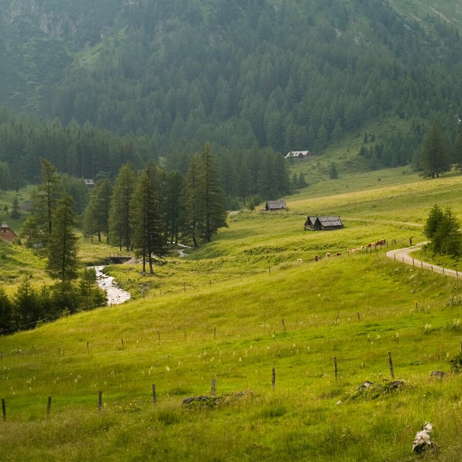
Blick ins Krakautal | © Steiermark Tourismus | Podpera
1/6
Wanderroute "Vom Gletscher zum Wein" | Weitwanderweg Steiermark | © Steiermark - Das Grüne Herz
2/6
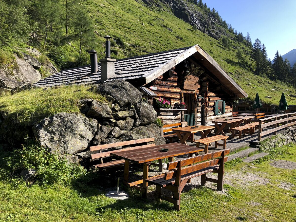
putzentalalm_steiermark-tourismus-martina-traisch.jpg | © Steiermark Tourismus | Martina Traisch
3/6

Möslhütte | © Fa. Lowa | Herbert Raffalt
4/6
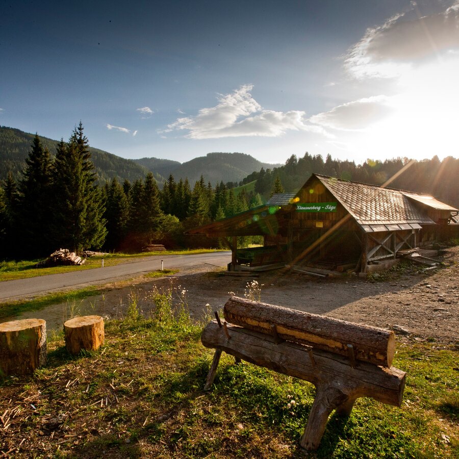
Holzweltobjekt "Klausnerbergsäge, Krakauhintermühlen" | © Holzwelt Murau / Tom Lamm | Holzwelt Murau
5/6
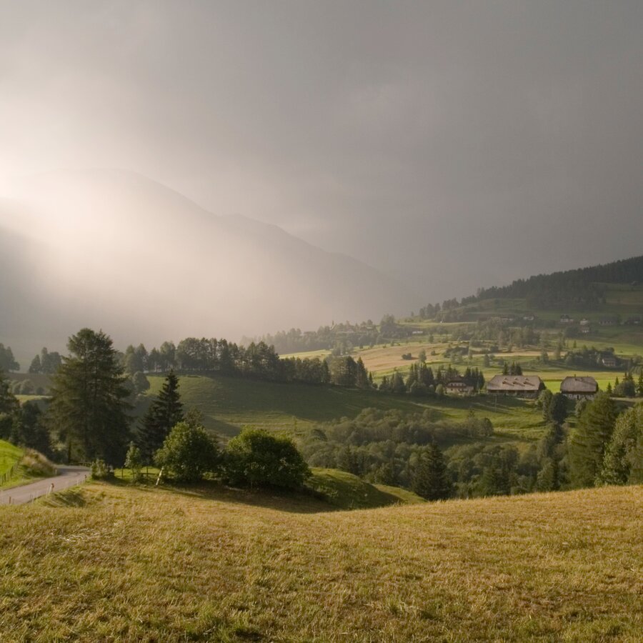
Das Krakautal mit Blick auf den Preber | © Steiermark Tourismus | Podpera
6/6

What the weather will be like Sölk (668m)
Today, 24.10.2026
The rain will end in the early afternoon, and the skies will break up afterwards.Morning

3°C
sr.Regenwahrscheinlichkeit
85%
sr.Windstärke
5 km/h
Noon
8°C
sr.Regenwahrscheinlichkeit
70%
sr.Windstärke
5 km/h
Night

4°C
sr.Regenwahrscheinlichkeit
40%
sr.Windstärke
5 km/h
Tomorrow, 25.10.2026
Mostly cloudy with occasional sunny spells. Light rain will start in the afternoon.Morning
0°C
sr.Regenwahrscheinlichkeit
10%
sr.Windstärke
0 km/h
Noon

8°C
sr.Regenwahrscheinlichkeit
50%
sr.Windstärke
5 km/h
Night
7°C
sr.Regenwahrscheinlichkeit
75%
sr.Windstärke
5 km/h
Forecast
26.10.2026
1°C
12°C
27.10.2026
0°C
14°C
28.10.2026
3°C
13°C
