


Stage 05 From Glacier to Wine South Route Keinprechthütte - Gollinghütte
Characteristics
SkillThe tour in numbers
Level of difficulty
challenging
Route
9,0 km
Time
6:00 h
Uphill
940 hm
Downhill
1170 hm
Highest point
2331 m
A beautiful high alpine tour through the Schladminger Tauern with two climbs and the cozy Landawirseehütte for a well-deserved rest in between. This stage of the hiking route "From Glacier to Wine" moves along the well-known Central Alpine Trail 02 of the Austrian Alpine Club. However, the section is also known as part of the Schladminger Tauern Höhenweg.
The Viennese mountaineer Hans Wödl played a decisive role in the development of the Schladminger Tauern. In his guidebook on the Schladminger Tauern, published in 1924, he writes that the landscape shows a generosity and force that is oppressive in the first impression, but then affects the eye and senses like a revelation. The Tauern pioneer and excellent connoisseur of the region was also a prominent member of the Preintaler Alpine Society, founded in 1885, whose merits include the establishment of the three important hut bases Gollinghütte, Preintalerhütte and Hans-Wödl-Hütte. Hans Wödl, who was made an honorary citizen of Schladming, fell in love with the silent mountains with their high waters just as much as the "Styrian Prince" Archduke Johann, who spent a lot of time in the Tauern, had done many years before.
Best season
January
February
March
April
May
June
July
August
September
October
November
December
More information
Detailed information on how to get to can be found here.
The Keinprechthütte is not directly accessible by car or public transport, for more information please contact the Keinprechthütte directly.
We start on this stage of the hiking route "From glacier to wine" at the Keinprechthütte (Tel. +43 664 4330346) first with a short descent. After a few hundred meters, the trail turns south and a steady climb of about 3 km awaits us to the Trockenbrotscharte. This ascent takes place in a wide arc above the Neualmkar. The path here leads along the pine soils at the foot of the Pietrach and through the Gamsfeld we reach the Trockenbrotscharte at 2,237 m above sea level. From here we enjoy the view over the cirque framed by steep slopes and peaks with the Landawirseehütte (Tel. +43 676 7785375), which is our next stop. In summer, when there is no more snow, you can reach the Gollingscharte on the left hand side via a narrow high trail below the Trockenbrotscharte. But we take the descent to the Landawirseehütte, where we take a well-deserved rest. In the southwest above the hut are the Lower and Upper Landawirsee, which are also connected to the hiking trail network via a marked path.
However, we remain true to our route and, after a short downhill stretch, ascend via quite steep switchbacks to the Gollingscharte. Shortly before the Gollingscharte there is often a residual snow field until well into the summer. On the other side, the descent is similarly steep into the Gollingwinkel, an impressive natural amphitheater at the foot of the mighty north face of the Hochgolling. Here we also reach the dilapidated Obere Steinwenderalm, which in 1817 served Archduke Johann and his companions as a base camp for the ascent of the Hochgolling. From here it is only a few hundred meters to the Gollinghütte (Tel. +43 676 5336288), our destination for today's stage. Tip: since we are in the middle of high alpine terrain, we get the weather forecast for the next stage to the Preintalerhütte from the hut host.
Emergency call mountain rescue: 140
Tips when reporting an emergency – Answer these six WH questions: What happened? How many people are injured? Where did the accident happen (are there GPS coordinates)? Who is reporting the incident (callback number)? When did the accident happen? What is the weather like at the site of the incident?
Proper backpack packing makes many things easier: Pack heavy things first. The water bottle should always be within reach in a side pocket. All the things that are often needed, such as sunglasses, camera or hiking map, belong on top. An emergency kit, including blister plasters, belongs in every rucksack and it is always advisable to dress in layers.
Please note that mountain huts may occasionally have closing days. Careful planning is therefore essential, as certain sections of the route may only be hikeable on specific days of the week due to possible hut closing days.
Detailed information about arriving by ÖBB (Austrian Federal
Railways) can be found at www.oebb.at or
on the Verbundlinie Steiermark website www.busbahnbim.at
With
Verbundlinie’s BusBahnBim route planner app, planning your journey
has never been easier: simply enter towns and/or addresses, stop names or
points of interest to check all bus, train and tram connections in Austria. The
app is available free of charge for smartphones – on Google Play and in the App
Store
Steiermark Tourismus, Tel. +43 316 4003
www.steiermark.com
Kompass WK 293 Dachsteingruppe, Schladminger Tauern www.kompass.at
Freytag & Berndt WK 201 Schladminger Tauern · Radstadt · Dachstein www.freytagberndt.at
Map & downloads
Gallery
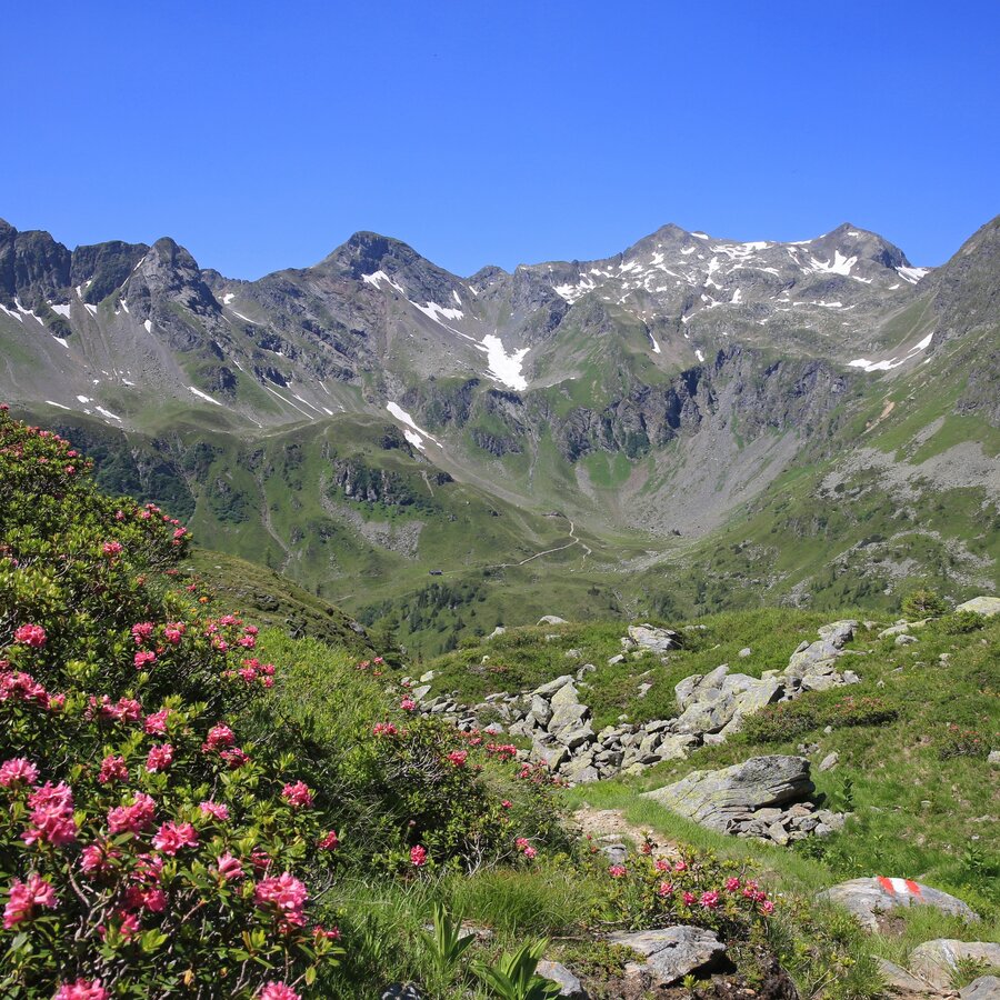
Unterwegs bei der Keinprechthütte | © TV Schladming-Dachstein | Martin Huber
1/8
Wanderroute "Vom Gletscher zum Wein" | Weitwanderweg Steiermark | © Steiermark - Das Grüne Herz
2/8
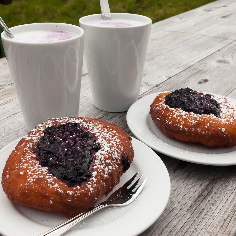
Bauernkrapfen und Heidelbeer-Buttermilch auf der Keinprechthütte | © Steiermark Tourismus | Uwe Grinzinger
3/8
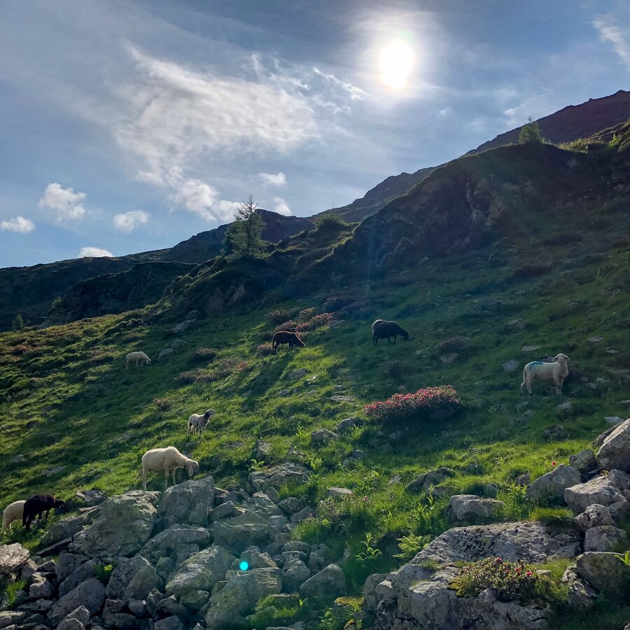
Schafe als Wegbegleiter in den Schladminger Tauern | © Steiermark Tourismus | Martina Traisch
4/8
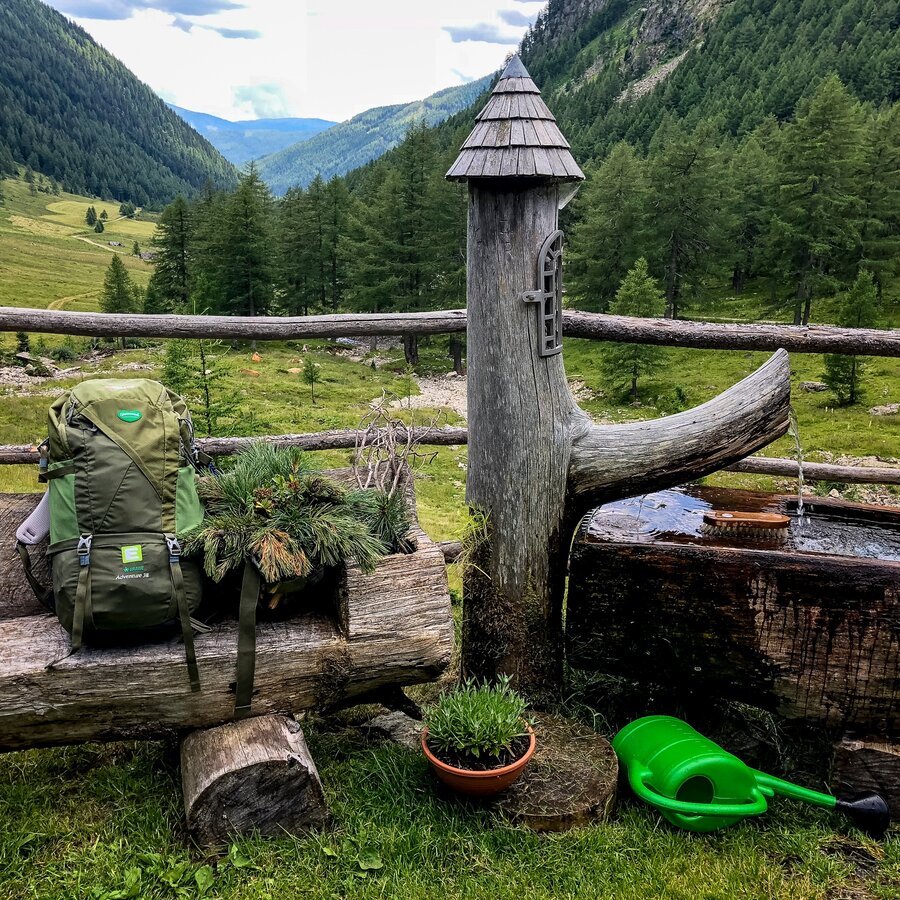
Rast in den Schladminger Tauern | © Steiermark Tourismus | Martina Traisch
5/8
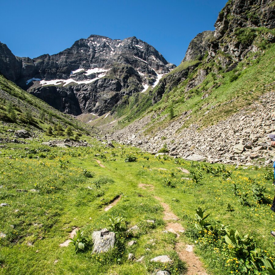
Panoramic view of Gollingwinkel cirque and the north face of Hochgolling | © Gerhard Pilz - www.gpic.at | Gerhard Pilz
6/8
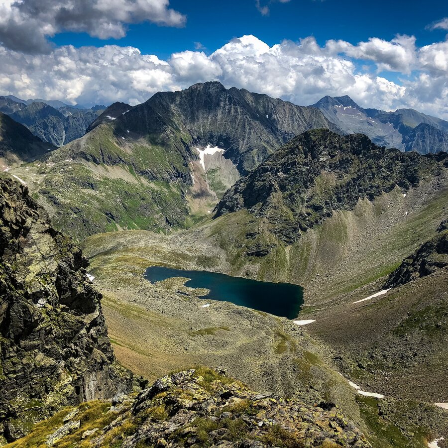
Seenlandschaft in den Schladminger Tauern | © Steiermark Tourismus | Martina Traisch
7/8
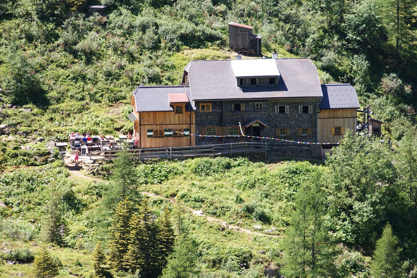
Die Gollinghütte - Steinriesental, Schladminger Tauern | © TVB Schladming-Dachstein | Gerhard Pilz
8/8

What the weather will be like Schladming (740m)
Today, 23.10.2026
The day starts sunny, but will be partly cloudy in the afternoon.Morning

-2°C
sr.Regenwahrscheinlichkeit
0%
sr.Windstärke
5 km/h
Noon

10°C
sr.Regenwahrscheinlichkeit
0%
sr.Windstärke
5 km/h
Night
6°C
sr.Regenwahrscheinlichkeit
5%
sr.Windstärke
5 km/h
Tomorrow, 24.10.2026
Rainfall will end around noon, then the clouds will break up.Morning

3°C
sr.Regenwahrscheinlichkeit
80%
sr.Windstärke
5 km/h
Noon

6°C
sr.Regenwahrscheinlichkeit
85%
sr.Windstärke
5 km/h
Night

2°C
sr.Regenwahrscheinlichkeit
45%
sr.Windstärke
0 km/h
Forecast
25.10.2026
-1°C
9°C
26.10.2026
2°C
11°C
27.10.2026
0°C
13°C
