


Rötschgraben Trail (R13)
Accessible by public transport- Public bus (within 15 minutes walking distance from starting point)
Characteristics
SkillThe tour in numbers
Level of difficulty
easy
Route
5,0 km
Time
2:00 h
Uphill
140 hm
Downhill
140 hm
Highest point
770 m
From Semriach, hike through the idyllic Rötschgraben along a gently flowing stream while enjoying beautiful views across the Grazer Bergland.
The Rötschgraben Trail (R13) starts at the main square in Semriach and follows quiet side roads and forest paths into the Rötschgraben. The route runs along the Rötschbach through shaded woodland, passing an Icelandic horse farm and offering recurring views across the Grazer Bergland.
A scenic and refreshing tour on the northwestern side of the Schöckl around Semriach.
A scenic and refreshing tour on the northwestern side of the Schöckl around Semriach.
Best season
January
February
March
April
May
June
July
August
September
October
November
December
More information
By car: Semriach main square
Parking: Schulstraße car park
Parking: multi-purpose hall primary school car park
Parking: Schulstraße car park
Parking: multi-purpose hall primary school car park
From the main square in Semriach, the trail first heads south along Semriacher Straße and then turns left onto a natural path. It continues along the Rötschbach to the lowest point, staying close to the water as it passes through the Rötschgraben.
At a junction, the route switches to a paved road before turning left back onto a natural trail, passing the Icelandic horse farm. It then continues through Hitzendorf back to Semriach.
Start: Main square Semriach
1.2 km Rötschgraben
3.3 km Icelandic horse farm
4.6 km Hitzendorf
5.3 km Main square Semriach
Hiking boots (in winter traction aids and trekking poles recommended)
Backpack, sun, wind and rain protection, drinks and snacks
Mobile phone, wallet, tour planning
Optional trekking poles
By bus: Regional bus 140 to Semriach, stop Semriach main square
www.verbundlinie.at
flux shared taxi: from Peggau-Deutschfeistritz station to the stop Semriach main square (GU 1405)
flux – your shared taxi in the Styrian central region
www.verbundlinie.at
flux shared taxi: from Peggau-Deutschfeistritz station to the stop Semriach main square (GU 1405)
flux – your shared taxi in the Styrian central region
The Semriach circular hiking trails were created in close cooperation between local associations, the municipality of Semriach and landowners, and are maintained with great voluntary commitment.
Free hiking maps and information:
Graz Region Tourist Board
Herrengasse 16, 8010 Graz
T +43 316 80750
info@regiongraz.at
www.regiongraz.at/hiking
Free hiking maps and information:
Graz Region Tourist Board
Herrengasse 16, 8010 Graz
T +43 316 80750
info@regiongraz.at
www.regiongraz.at/hiking
Map & downloads
Gallery
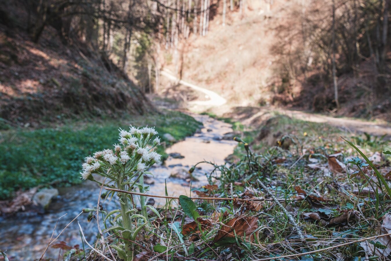
Stream in the Rötschgraben valley | © Janine Wenzel | Janine Wenzel
1/11

Old buildings in the Rötschgraben | © Janine Wenzel | Janine Wenzel
2/11
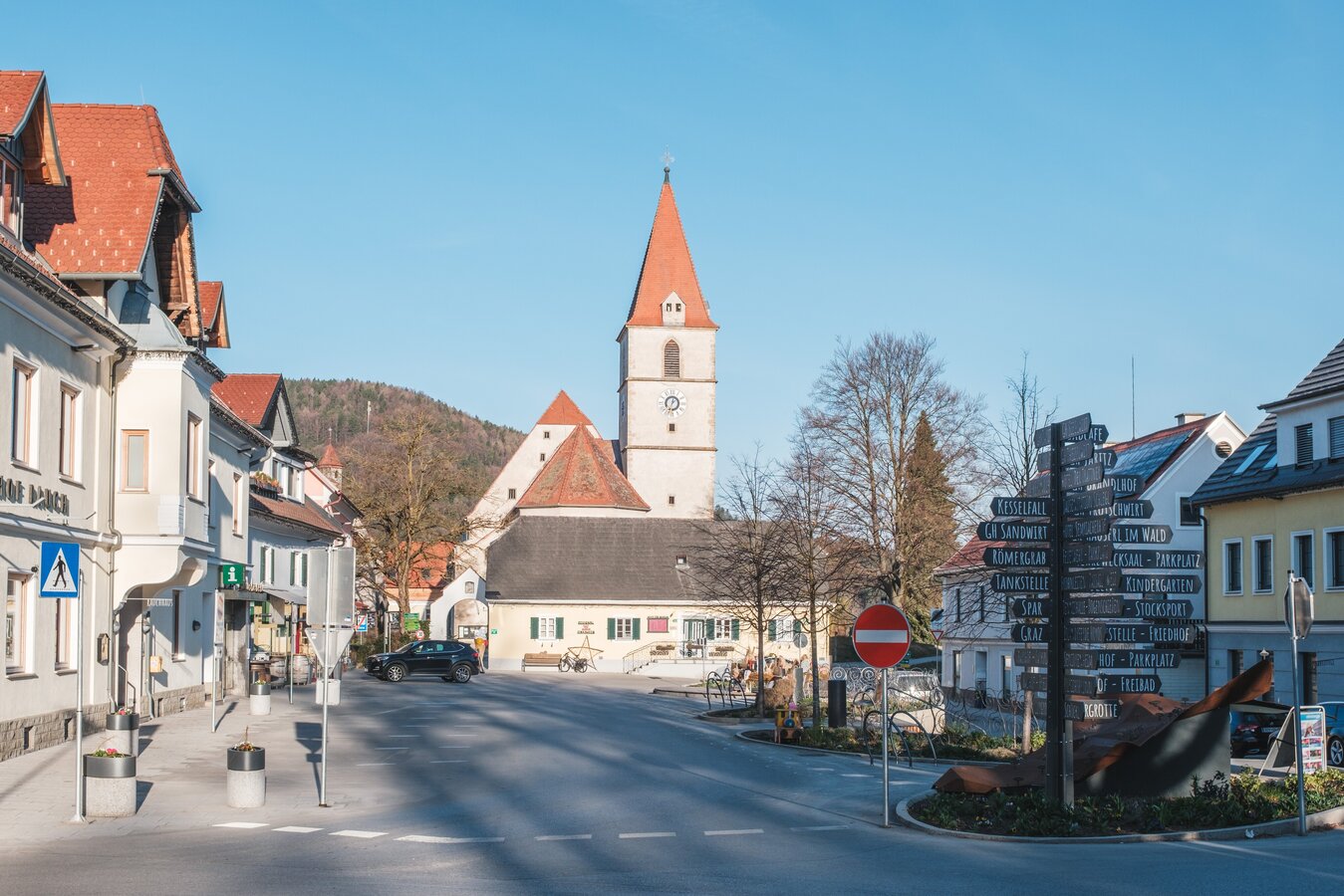
Semriach main square | © Janine Wenzel | Janine Wenzel
3/11

Panoramic view along the Rötschgraben Trail | © Janine Wenzel | Janine Wenzel
4/11
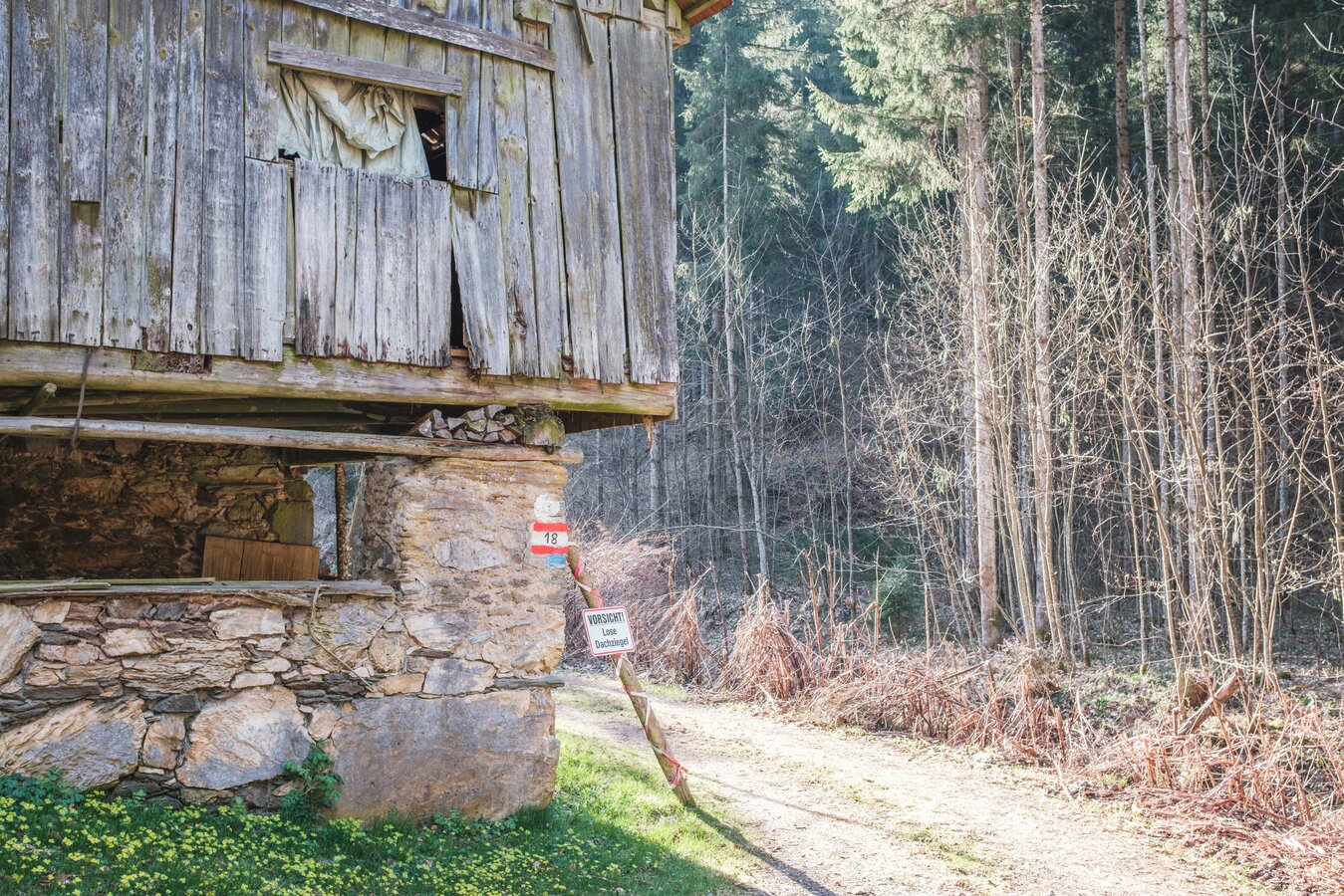
Old barn along the Rötschgraben Trail | © Janine Wenzel | Janine Wenzel
5/11

Wooden bridge in the Rötschgraben valley | © Janine Wenzel | Janine Wenzel
6/11

Stream cascades in the Rötschgraben valley | © Janine Wenzel | Janine Wenzel
7/11

Horse paddock along the Rötschgraben Trail | © Janine Wenzel | Janine Wenzel
8/11
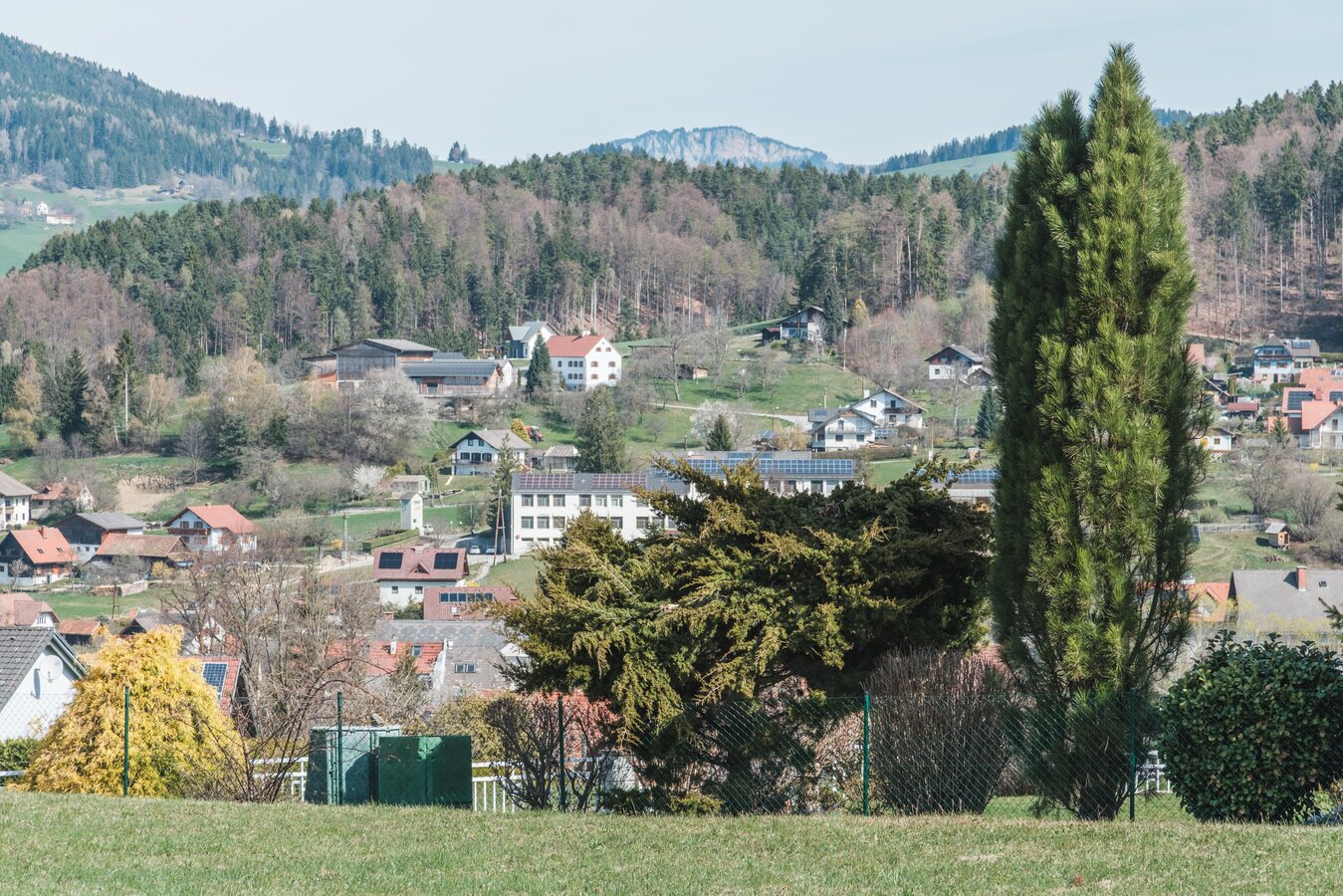
View across Semriach | © Janine Wenzel | Janine Wenzel
9/11

Bakery and café in Semriach | © Janine Wenzel | Janine Wenzel
10/11

Church in the centre of Semriach | © Janine Wenzel | Janine Wenzel
11/11

What the weather will be like Semriach (715m)
Today, 22.10.2026
Light morning rain, then more and more sunshine during the day.Morning

8°C
sr.Regenwahrscheinlichkeit
95%
sr.Windstärke
20 km/h
Noon

11°C
sr.Regenwahrscheinlichkeit
60%
sr.Windstärke
10 km/h
Night

6°C
sr.Regenwahrscheinlichkeit
5%
sr.Windstärke
5 km/h
Tomorrow, 23.10.2026
The day starts sunny, but will be partly cloudy in the afternoon.Morning
2°C
sr.Regenwahrscheinlichkeit
0%
sr.Windstärke
0 km/h
Noon
11°C
sr.Regenwahrscheinlichkeit
0%
sr.Windstärke
10 km/h
Night
6°C
sr.Regenwahrscheinlichkeit
0%
sr.Windstärke
5 km/h
Forecast
24.10.2026
2°C
8°C
25.10.2026
1°C
10°C
26.10.2026

4°C
13°C
