


Pöllau circuit via Masenberg, Pöllau
Characteristics
SkillThe tour in numbers
Level of difficulty
challenging
Route
22,8 km
Time
7:15 h
Uphill
970 hm
Downhill
970 hm
Highest point
1260 m
Fitness is required due to the altitude and length of the route: summit cross hike on the Masenberg in the Pöllau Valley Nature Park in Eastern Styria
We start this circular hike in Pöllau's castle park and leave the village heading east to the traffic circle, where we continue to the Kalvarienberg church. From here, we follow the signs via the former "Zeil-Kratzer"/de Buigne inn, the forest nature trail to the Masenberg with the Glückskapelle chapel, summit cross and refuge. Return via the pilgrimage site and the flower and garden village of Pöllauberg to the starting point in Pöllau.
Best season
January
February
March
April
May
June
July
August
September
October
November
December
More information
Pöllau - Masenberg
We start from the center of Pöllau or Schlosspark (signpost east of the Parkcafe) and walk past the former Augustinian canon monastery or today's castle with parish church via Schmiedgasse to the traffic circle, the entrance to Pöllau-Mitte. We follow the red-white-red markings no. 942 and the green signs "Hirschbirnweg" and "Wallfahrerweg Pöllauberg".Once we reach the traffic circle, we cross the L406 country road and walk north past the Raiffeisenbank and then continue following the markings to the Kalvarienberg. At the Kalvarienberg church, we follow the red-white-red marked trail no. 941 in a northerly direction.Keeping to the markings, we pass the former GH Zeilkratzer (deBuignge family) with its old farmhouses converted into vacation homes.Then we continue along a dirt track and through a wood towards Masenberg.At the Marterl (wayside cross) with a signpost, we turn right into the forest, now following the white-yellow-white markings no. 12 towards Masenberg, until we meet the red-white-red markings no. 942 at a fork in the path, which we follow to the summit of Masenberg.
Masenberg - Pöllauberg
At the Glückskapelle chapel, we keep left and follow the red-white-red hiking trail no. 950 towards Grafendorf and Hartberg past the Olmstoll inn.We cross the municipal road to Vorau and choose hiking trail no. 07 towards Schwaig/Hartberg.We then walk past the air quality monitoring station along a somewhat steeper passage on hiking trail no. 07 in the direction of Waldhansl and on to the asphalt road.We stay on the Wiesberg road heading south and turn left at the transformer until we reach the "Schwaig" landmark at 970 m above sea level.Once there, we follow the red-white-red markings no. 943 and use these to reach Pöllauberg.
Pöllauberg - Pöllau
Starting from the pilgrimage church and descending the steps, we come to hiking trail no. 942.We follow this red-white-red marking over the Kalvarienberg back to our starting point in Pöllau.
Important telephone numbers:
- European emergency call: 112
- Mountain rescue emergency call: 140 (if possible, please provide GPS data)
- Rescue: 144
- Fire department: 122
- Police: 133
The trail is easy to walk and therefore suitable for the whole family.
Tips for even more hiking fun: Rules of conduct when hiking
A few tips on correct and fair behavior in the forest: (Source: www.bundesforste.at )
- Hikers should avoid visiting the forest approx. 1.5 hours before sunrise and after sunset, as wild animals are particularly active at this time.
- Plastic bottles, handkerchiefs, cigarette butts etc. have no place in the forest! Please make sure that you do not leave any garbage in the forest.
- Camping and making fires is strictly forbidden in the forest!
- In principle, every person in the forest is allowed to collect 2 kg of mushrooms and berries per day for their own use. It is only prohibited if the forest owner expressly forbids it.
- Small backpack with water bottle (+ provisions)
- Sturdy shoes
- Appropriate clothing - preferably several layers - "onion principle"
- Rain and sun protection
- Hiking poles as required
- Cell phone
- Small first aid kit
- Route description
Before starting the hike, check where you can stop for refreshments, including opening times, or pack suitable food and drink.
We recommend that you combine "nature" and "culture" on this hike - further information can be found at: Sacred art and organ hiking (cultural tourism)
Timetables and travel information can be found at Österreichische Bundesbahnen (ÖBB) or at Verkehrsauskunft Verbundlinie.
For local transportation we recommend the SAM-Sammeltaxi Oststeiermark.
Information about the region, places to stop and stay, excursion destinations etc. can be found here:
Tourism region Eastern Styria
Nature Park Pöllauer Valley office
Schloss 1
8225 Pöllau, Austria
Phone: +43 3335 4210
www.naturpark-poellauertal.at
www.oststeiermark.com
Current weather
Mobility Eastern Styria with SAM shared cab
Find out about maps, hiking brochures and other tour tips at the tourist office. You can also order information material on our website from the comfort of your own home.
Rother hiking guide "Oststeiermark - Von den Fischbacher Alpen bis in die Thermenregion", 50 tours, Elisabeth Zienitzer & Silvia Sarcletti paperback, ISBN-10, 376334577 available in bookshopsMap & downloads
Gallery
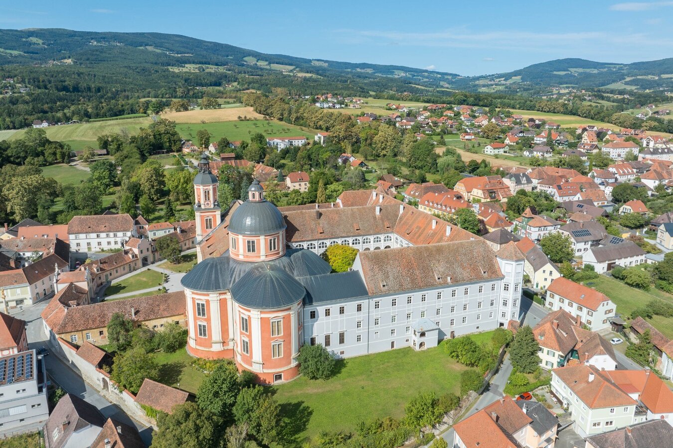
Pöllau church and castle_NUP Pöllauer Tal_Oststeiermark | Helmut Schweighofer
1/10
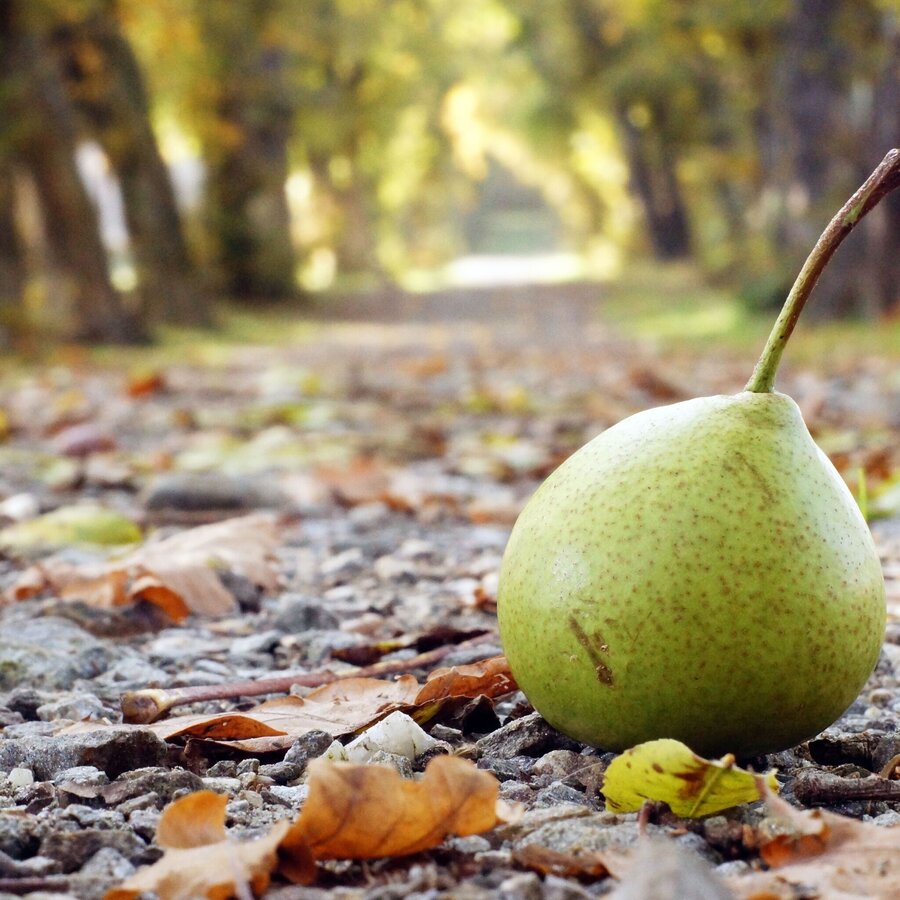
Pöllauer Hirschbirne, Hainbuchenallee im Schlosspark Pöllau | © Oststeiermark Tourismus | Tourismusverband Oststeiermark
2/10
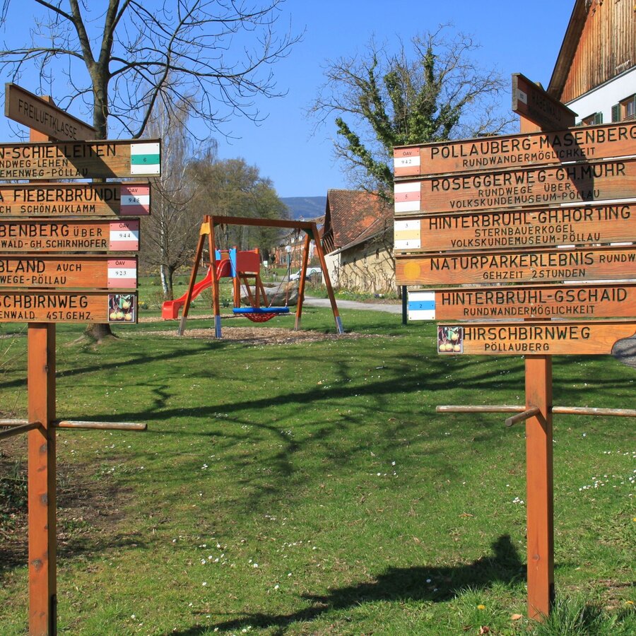
Wegweiser, Schlosspark | © Oststeiermark Tourismus | Hermann Auerbäck
3/10
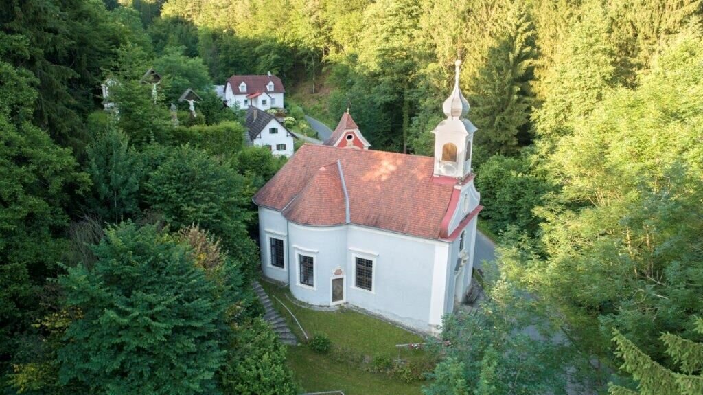
Herz-Jesu-Kirche am Pöllauer Kalvarienberg | © Oststeiermark Tourismus | © Gute Idee
4/10
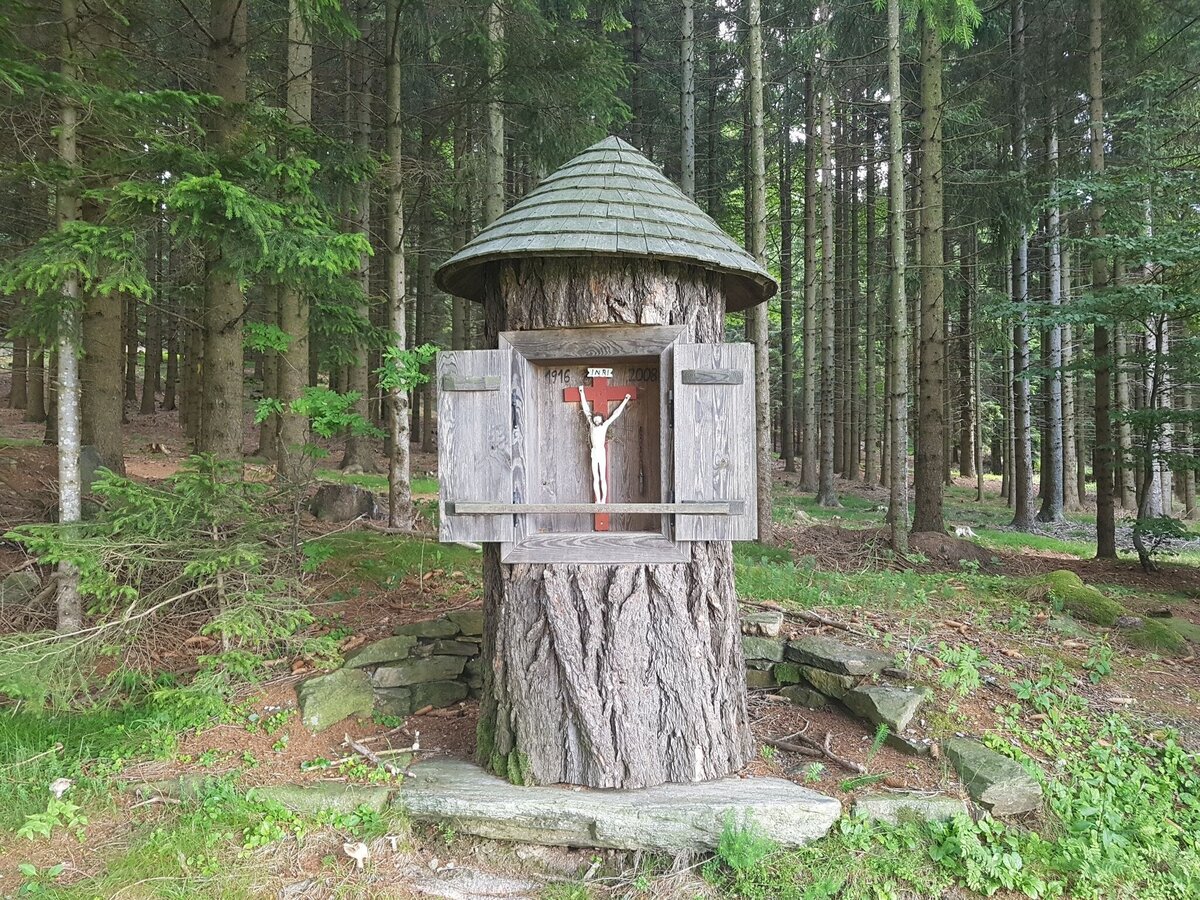
Wegkreuz auf der Wanderung Pöllauberg - Masenberg | © Oststeiermark Tourismus | Tourismusverband Oststeiermark
5/10
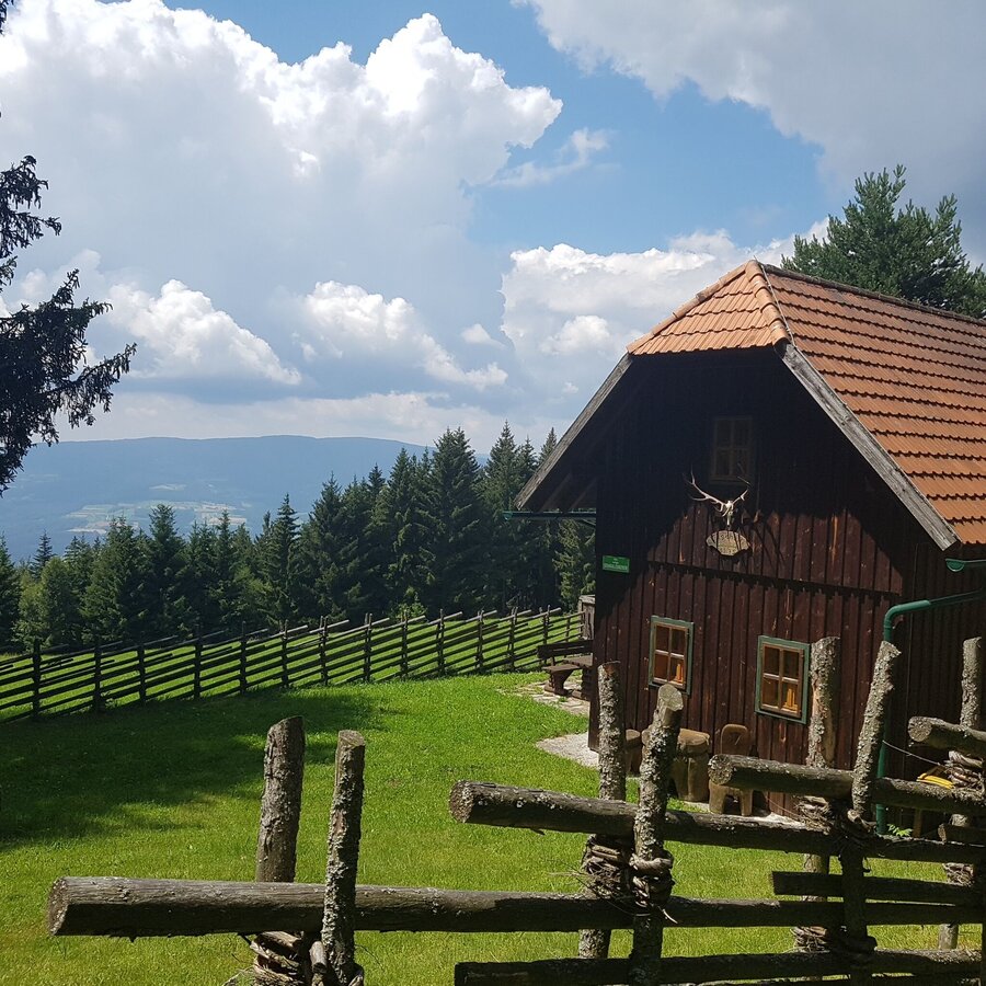
Haus Schmalzgruber: Rundwanderung: Pöllauberg - Masenberg - Schwaig - Pöllauberg | © Oststeiermark Tourismus | Tourismusverband Oststeiermark
6/10
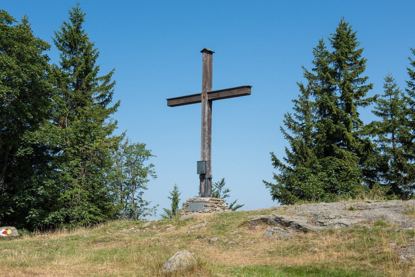
Masenberg: Gipfelkreuz | © Oststeiermark Tourismus | Helmut Schweighofer
7/10
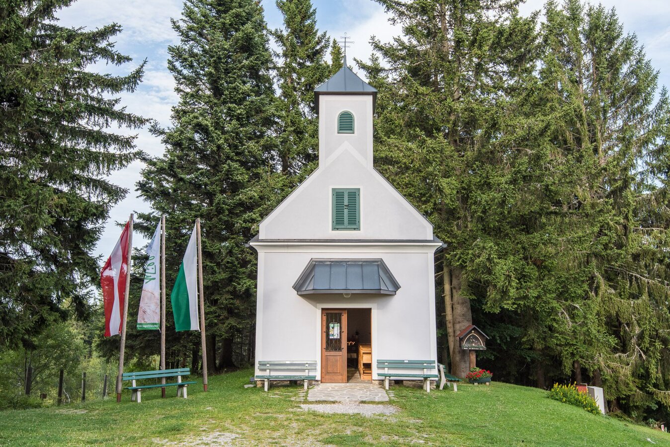
Glückskapelle: Aussenansicht | © Oststeiermark Tourismus | Helmut Schweighofer
8/10
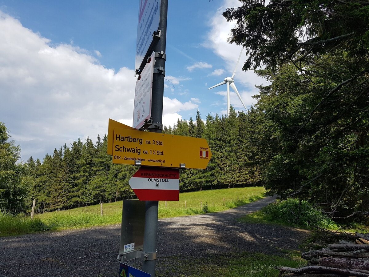
Wegweiser: Masenberg Richtung Schwaig, Hartberg: 07 | © Oststeiermark Tourismus | Tourismusverband Oststeiermark
9/10
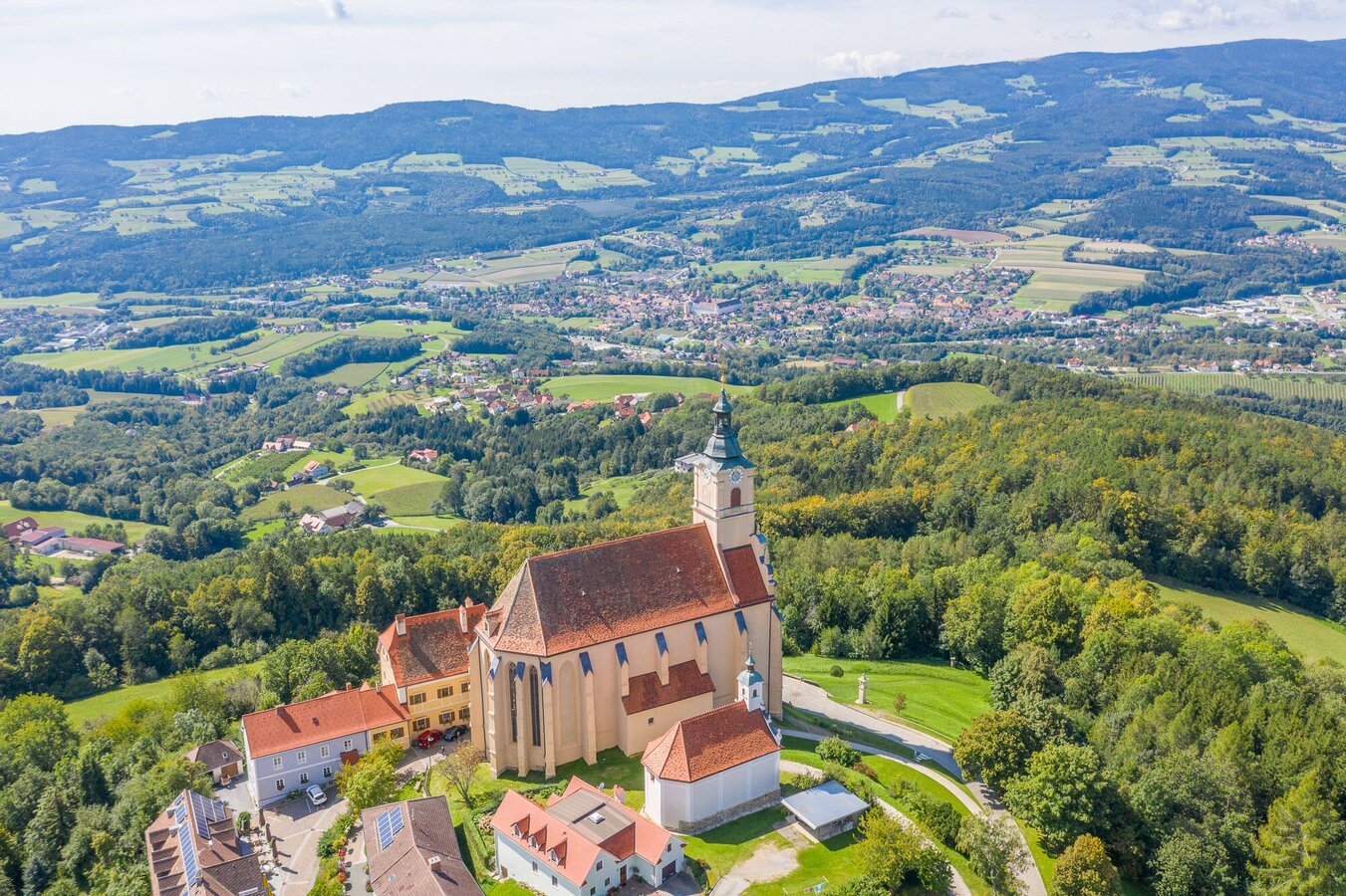
Wallfahrtskirche Pöllauberg und Blick ins Tal | © Oststeiermark Tourismus | Helmut Schweighofer
10/10

What the weather will be like Pöllau (421m)
Today, 26.09.2026
Dry and sunny throughout the day with hardly any clouds.Morning

8°C
sr.Regenwahrscheinlichkeit
0%
sr.Windstärke
5 km/h
Noon
20°C
sr.Regenwahrscheinlichkeit
0%
sr.Windstärke
5 km/h
Night
12°C
sr.Regenwahrscheinlichkeit
0%
sr.Windstärke
0 km/h
Tomorrow, 27.09.2026
Dry and sunny throughout the day with hardly any clouds.Morning
7°C
sr.Regenwahrscheinlichkeit
0%
sr.Windstärke
0 km/h
Noon
20°C
sr.Regenwahrscheinlichkeit
0%
sr.Windstärke
10 km/h
Night
13°C
sr.Regenwahrscheinlichkeit
0%
sr.Windstärke
0 km/h
Forecast
28.09.2026
7°C
22°C
29.09.2026
8°C
22°C
30.09.2026
7°C
23°C
