


Pine panoramic path
Characteristics
SkillThe tour in numbers
Level of difficulty
medium
Route
3,4 km
Time
1:05 h
Uphill
209 hm
Downhill
208 hm
Highest point
1802 m
The Panorama Trail is a beautiful circular route that leads from the Tonnerhütte hut across meadows and through forests to the Herter Höhe hill. There you can enjoy the view and get your bearings at the panorama board.
Slow down the pace of life, slow down, take a deep breath, pause, let yourself be dazzled by glittering snow crystals, enjoy panoramic views. When snowshoeing from the Tonnerhütte, you will experience the "silence" of winter on pre-trudged routes.
Best season
January
February
March
April
May
June
July
August
September
October
November
December
More information
From Vienna on the A2 southern motorway to the Seebenstein junction, the Semmering expressway S6 to St, Michael i. Upper Styria, via the Murtal expressway S36 to Judenburg, the federal highway B96 to Scheifling, on the B317 to St. Marein b. Neumarkt, continue on the B92 to Mühlen.
From Linz on the Phyrn motorway A9 to St, Michael i. Upper Styria, via the Murtal expressway S36 to Judenburg, the federal highway B96 to Scheifling, on the B317 to St. Marein b. Neumarkt, continue on the B92 to Mühlen.
From Graz on the A2 southern motorway over the Packsattel to the Twimberg/Bad St. Leonhard exit, the B78 federal road to Wiesenau, on the Klippitztörlstraße to Hüttenberg, on the B92 further to Mühlen.
From Italy/Slovenia or from Klagenfurt on the Wörthersee motorway A2 to Klagenfurt, the federal highway B317 to St. Marein b. Neumarkt, continue on the B92 to Mühlen.
From the Tonnerhütte, hike east and follow the gently ascending forest path to the first hairpin bend. Continue along the forest path in a northwesterly direction to the holiday home settlement on the Hohe Halt. The “Zirbenallee” is located in the vicinity of this holiday home settlement.
Follow the forest path, which continues to climb slightly, and Follow the gently ascending forest path and continue past the turnoff to the Sigmundhütte to the “Kulmer Hütte-Zirbitzkogel” fork on the Herter Höhe. There is a viewing platform with a magnificent view of the Görtschitztal valley. The return route takes you back along the toboggan run to the Tonnerhütte.
Follow the forest path, which continues to climb slightly, and Follow the gently ascending forest path and continue past the turnoff to the Sigmundhütte to the “Kulmer Hütte-Zirbitzkogel” fork on the Herter Höhe. There is a viewing platform with a magnificent view of the Görtschitztal valley. The return route takes you back along the toboggan run to the Tonnerhütte.
With the BusBahnBim app from the interconnected line, timetable information is easier than ever before: all bus, train and tram connections in Austria can be queried by entering locations and/or addresses, stops or important points. The app is available as a free app for smartphones (Android, iOS) - on Google Play and in the App Store.
ÖBB www.oebb.at | Styria connection line www.busbahnbim.at
Public parking spaces are available directly at the Tonnerhütte (note: chargeable!).
The ideal time for this tour is November to March.
Information brochures are available at the various information offices.
Information brochures are available at the various information offices.
Map & downloads
Gallery
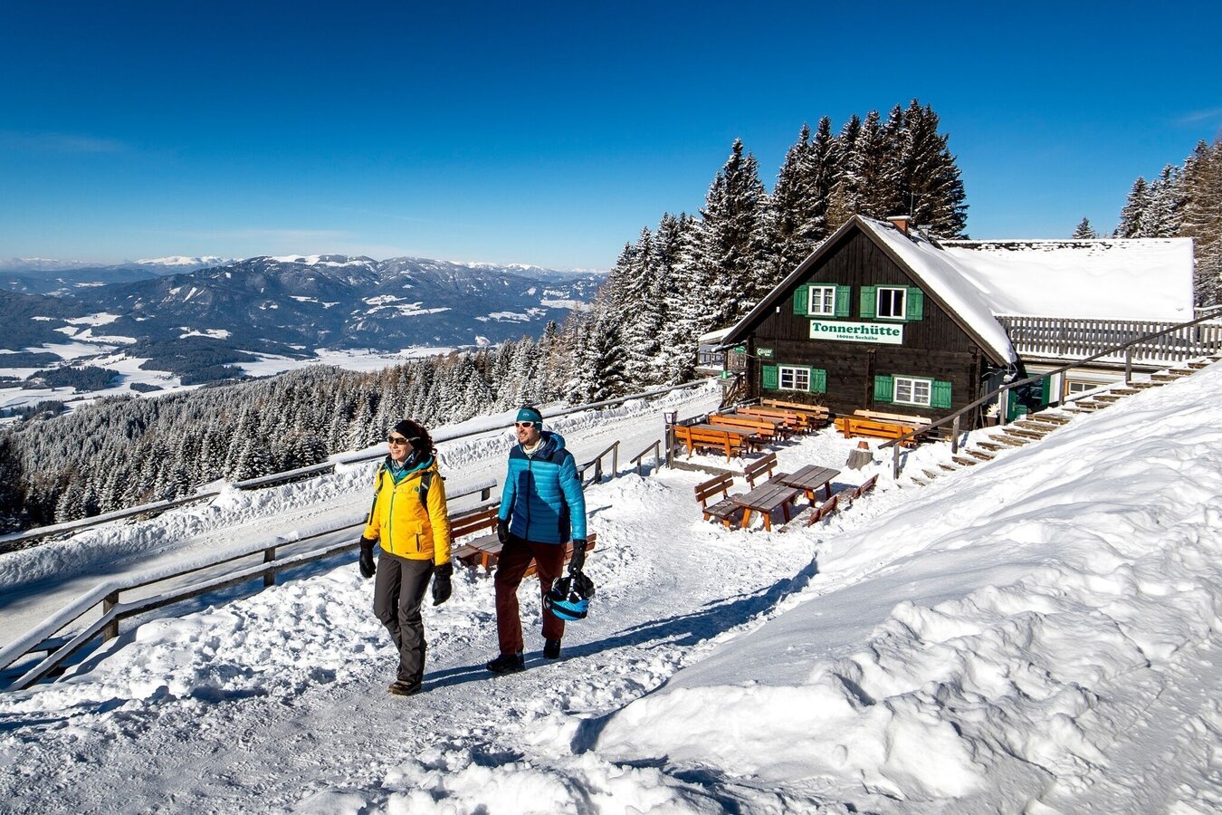
Winterwandern | © Tourismusverband Murau | Tom Lamm
1/4
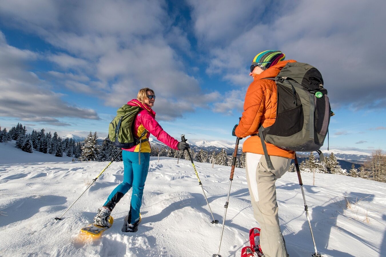
Schneeschuhwandern | © Tourismusverband Murau | Tom Lamm
2/4
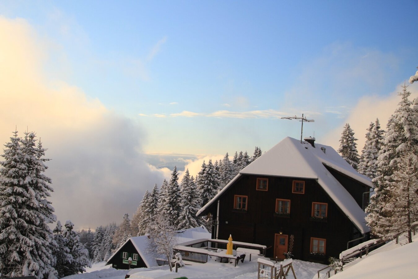
Tonnerhütte | © Tourismusverband Murau | Katharina Ferner
3/4
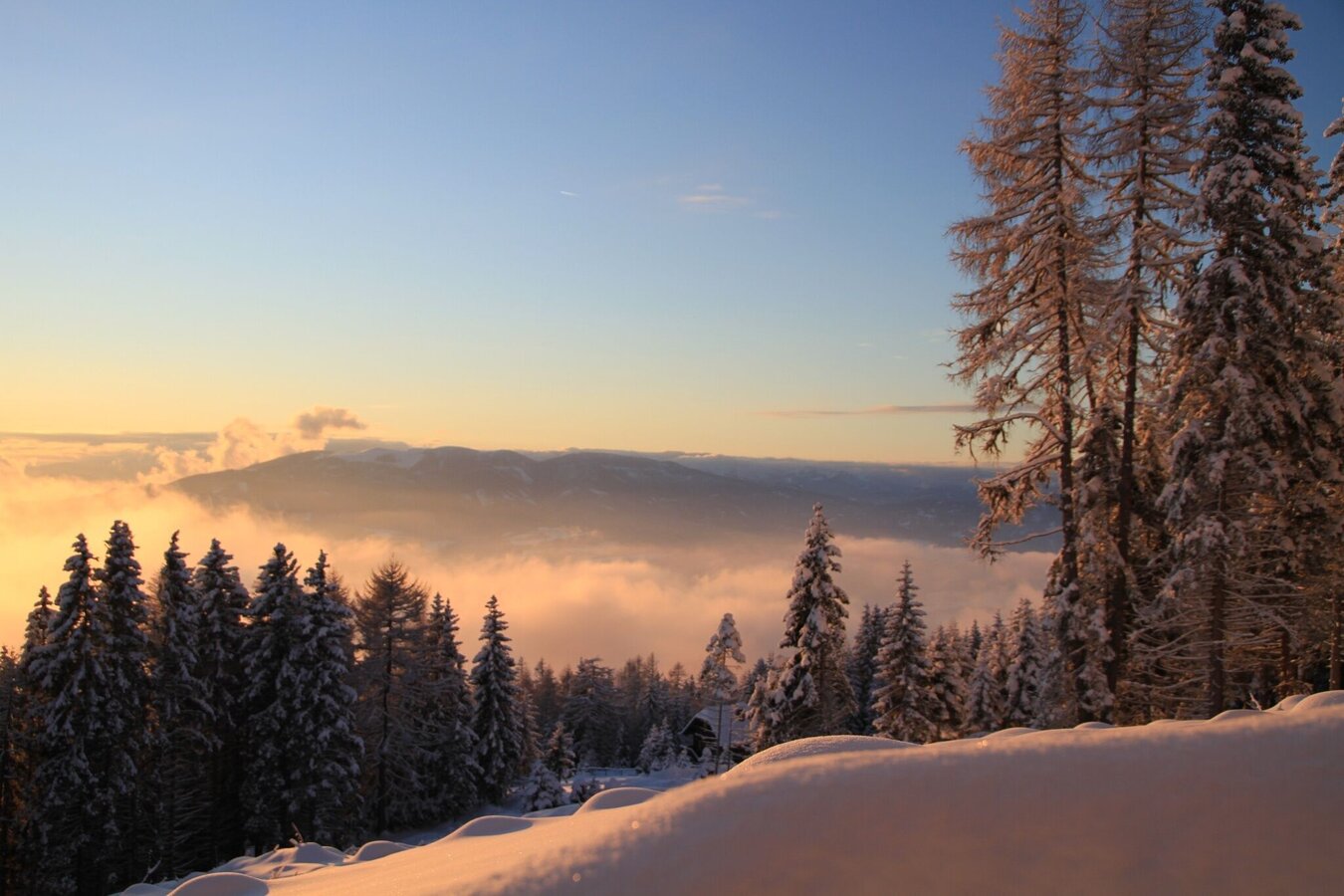
Ausblick von der Tonnerhütte | © Tourismusverband Murau | Katharina Ferner
4/4
What the weather will be like Mühlen (961m)
Today, 08.07.2026
Sunny and cloudy periods will alternate throughout the day.Morning

15°C
sr.Regenwahrscheinlichkeit
5%
sr.Windstärke
5 km/h
Noon
22°C
sr.Regenwahrscheinlichkeit
20%
sr.Windstärke
10 km/h
Night
19°C
sr.Regenwahrscheinlichkeit
50%
sr.Windstärke
10 km/h
Tomorrow, 09.07.2026
Some clouds in the morning, lateron much sunshine and hardly any cloudsMorning
14°C
sr.Regenwahrscheinlichkeit
40%
sr.Windstärke
5 km/h
Noon

23°C
sr.Regenwahrscheinlichkeit
40%
sr.Windstärke
10 km/h
Night
21°C
sr.Regenwahrscheinlichkeit
10%
sr.Windstärke
10 km/h
Forecast
09.07.2026

12°C
25°C
10.07.2026
12°C
27°C
11.07.2026
13°C
28°C
