


On the Mugel in winter - High above Leoben
Characteristics
SkillThe tour in numbers
Level of difficulty
medium
Route
14,6 km
Time
5:00 h
Uphill
910 hm
Downhill
910 hm
Highest point
1630 m
Many paths lead to the 1630 m high local mountain of Leoben and Niklasdorf, and this tip is perfect for hiking in winter - with or without snowshoes.
The Mugel enjoys corresponding popularity, this also because on the summit the cozy Mugel shelter invites you to stop for a break - summer and winter. The first refuge was built here in 1904, making it one of the oldest alpine refuge locations in Styria. In 2010, a modern new building was built, which is ideally suited for festivities and seminars. By the way, the precious water for the hut is pumped up from the Wappleralm spring, which is 120 meters lower and about 1000 meters away. But not only the equipment, but also the view from the refuge is impressive: from the Hochschwab, the Eisenerzer Alps to the Seckauer Tauern with the valleys of the Mur and Mürz lying deep below, the view extends. A popular photo motif is the modern summit cross, which was designed by an artist from Niklasdorf. All in all: a worthwhile winter hiking destination high above Leoben.
Best season
January
February
March
April
May
June
July
August
September
October
November
December
More information
S36 exit Niklasdorf / On B115 through the village, following the signs "Mugel" over the railroad and further into the Niklasdorfgraben.
Spacious winter parking lot in Niklasdorfgraben
With the car to snowshoe hiking - a few things to look out for!
- Good winter tires are an absolute MUST!
- Ice scraper, snow broom, de-icer for the door locks and a small shovel belong to the basic equipment.
- Put snow chains and a tow rope in the car, even if you are not good with them yourself. Helping and knowledgeable hikers are always available on the mountain!
- Clear the car completely of snow and ice, especially sweep off the roof of the car completely.
- When parking, make sure you leave room for other motorists.
- Always park so that the rest of the roadway remains clear for cars, logging trucks, and snow removal vehicles.
- Find out about the snow situation on the access road or parking facilities before setting off. (hut host, webcams)
Spacious winter parking lot in Niklasdorfgraben
We start at the spacious winter parking lot (1), 722 m, in the Niklasdorfgraben and orient ourselves by the yellow signposts in the direction of Ochsenstall/Mugel. We go straight uphill along the forest road, past the summer parking lot to the Hüttenanger/Rosseck junction. At this junction we keep straight on and pass a hunting lodge (2), 964m. Shortly after the hunting lodge, the hiking trail leads to the right, where we always see tracks in winter. If you are on snowshoes, you can take the shortcut here. For winter hikers it is recommended to follow the road and continue along the Silberbrunngraben, then turn right uphill and soon leave the forest. From now on, we continue hiking with a view and can already see the radio station, which is our next stage destination, in front of us. The road leads comfortably uphill along the alpine landscape around the Ochsenstall (3), 1202m. We continue again along a wooded area until we pass the transmission tower (4), 1429 m, in succession. In front of us is a large meadow area, where we keep slightly to the left and follow the usual ascent tracks. At the end of the meadow we hike a short distance along a forest road and then branch off to the right onto the hiking trail. A short and somewhat steeper ascent to the summit through the forest follows. On the last meters of altitude we can already see the Mugel shelter in front of us. Passing the shelter we reach the summit cross on the Mugel (5), 1630 m, which is only a few meters away. After a leisurely break, we leave the summit area and choose the way back along the ascent route, whereby there are numerous shortcut options for snowshoe hikers.
When choosing a winter hike or snowshoe tour, weather, snow and avalanche situation are essential criteria. Basically, the decision of the tour depends on your own experience and basic physical condition. In advance, factors such as weather, avalanche situation report and equipment, must be clarified in detail. Even if you have prepared perfectly, the given weather and snow conditions and the physical condition of the day during the hike itself must also be taken into account. Thus, there is an important basic rule: please turn around if the hike becomes too strenuous or if the external conditions require it.
Spikes are now indispensable as a winter hiking utensil. These "snow chains" for mountain boots have become increasingly popular in recent winters and belong as standard in the winter hiking backpack.
Walking times: The indicated walking time is to be understood as a guideline, as it depends on the snow conditions, the terrain and the presence of a trail. The individual condition and stamina for strenuous trail work also play an important role. Sometimes the duration of the tour can change significantly due to large amounts of new snow, broken slush, soft sulzing snow, etc.
Alpine emergency call:
Mountain rescue emergency number: 140
EU emergency number: 112
Avalanche info:
Weather service:
Direct link mountain weather Styria:
https://www.zamg.ac.at/cms/de/wetter/produkte-und-services/bergwetter/steiermark
SpikesTelescopic poles with snow plate
Waterproof mountain boots or lined winter mountain boots
Backpack
Gloves: waterproof and warming
Headgear
Gaiters: If there are no closable leg cuffs on the pants.
Pants: Ski pants are not recommended, because they are often too warm, but we need water-repellent and warming pants.
Warming outerwear: Onion layering system, t-shirt, sweater, jacket and winter jacket with hood.
Sunglasses: Very important, as snow reflects up to 95% of the light.
Creams: Protective measures for the skin are important against both the sun and the cold.
Headlamp: In winter it gets dark early, especially in the forest it can often be very dark when dusk begins.
Thermos: On cooler days a warming drink is pleasant.
Snack
First aid kit
Other important items of equipment:
Mobile phone
Tour description
Map: For overview a map in scale 1:50.000 of the respective region and a detailed plan of the hike
GPS d
eviceLVS device (avalanche transceiver), shovel and probe
The Mugel shelter is open in winter 2022 (Tuesday day off), www.mugel-schutzhaus.at
The starting point of the hike is not accessible by public transport.
Refreshment stops:
Mugel-Schutzhaus, Tel.: +43 (0) 664 19 91 210, Mugelweg 5, 8712 Niklasdorf, www.mugel-schutzhaus.at
Niklasdorf: Hotel-Restaurant Brücklwirt, Tel.: +43 3842 81727, 8712 Niklasdorf, Leobner Straße 90, www.bruecklwirt.co.at
Freytag & Berndt Wander-, Rad- und Freizeitkarte Gleinalpe, Lipizzanerheimat, Leoben, Voitsberg; WK 132, 1 : 50.000
Map & downloads
Gallery
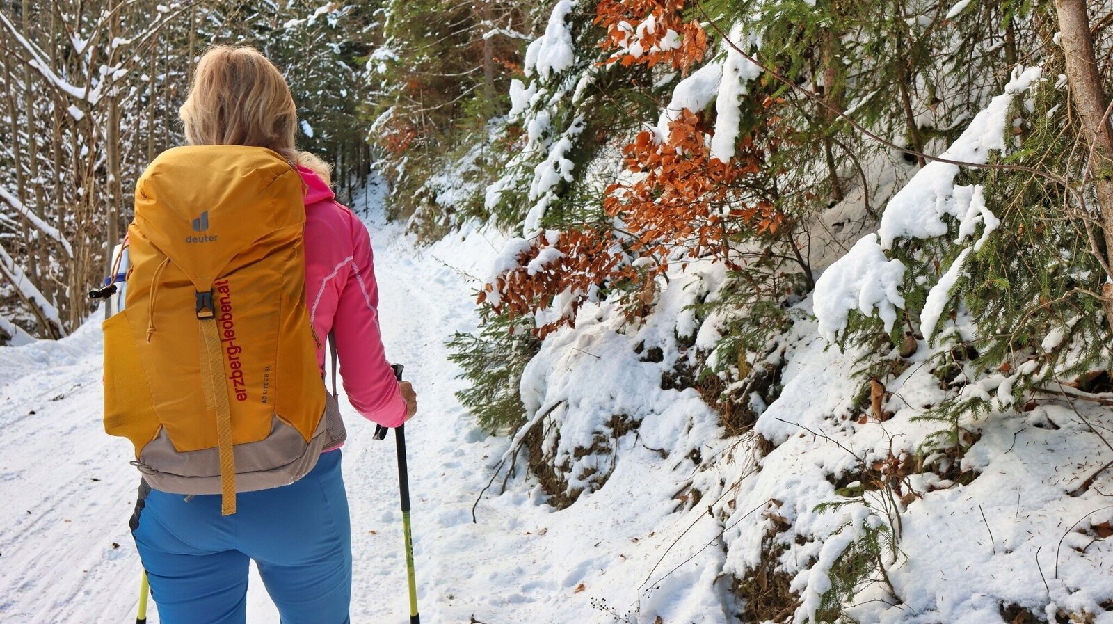
Winterstimmung im Wald | © Weges OG | Weges OG
1/13
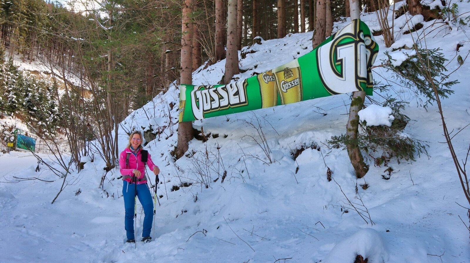
Am Weg | © Weges OG | Weges OG
2/13
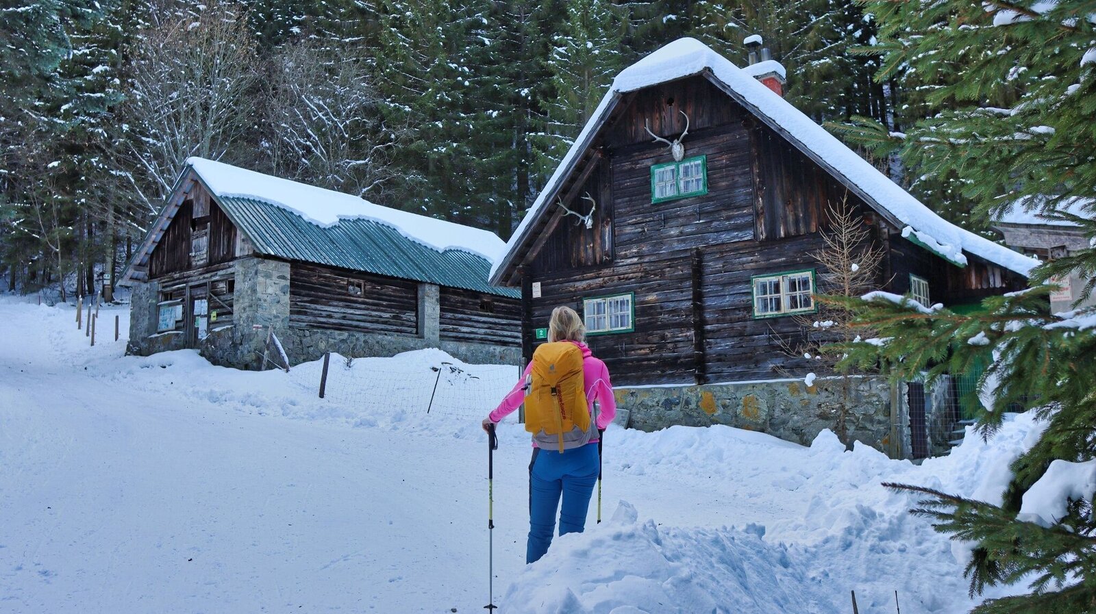
Bei der Jagdhütte wandern wir vorbei | © Weges OG | Weges OG
3/13
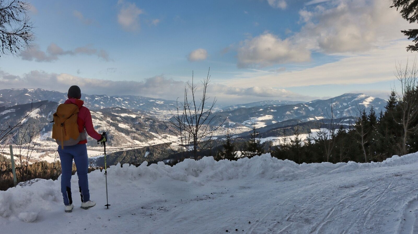
Blick auf Bruck und rechts im Bild das Rennfeld | © Weges OG | Weges OG
4/13
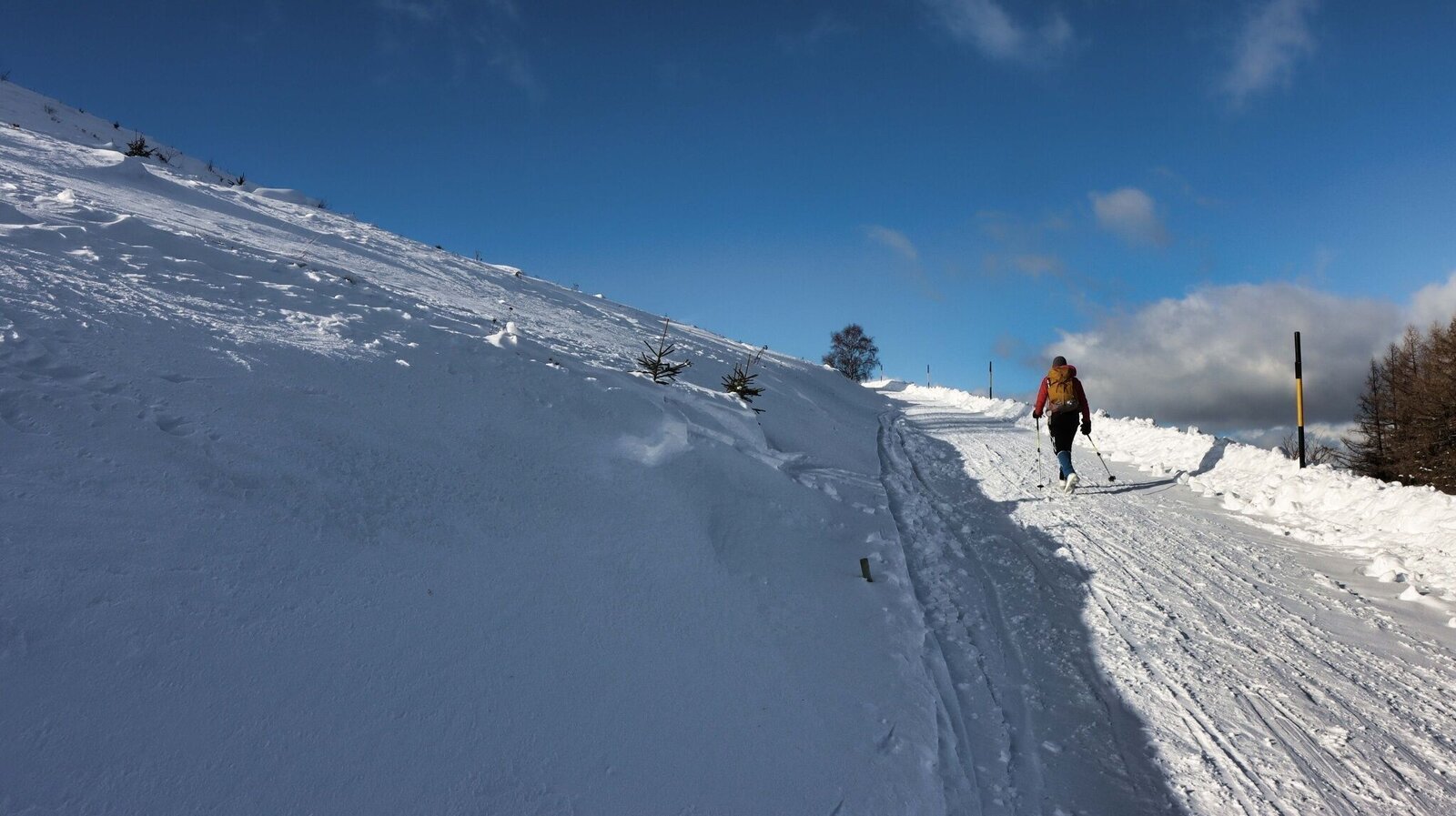
Gemütlich wandern wir auf der ausgeschobenen Straße dahin | © Weges OG | Weges OG
5/13
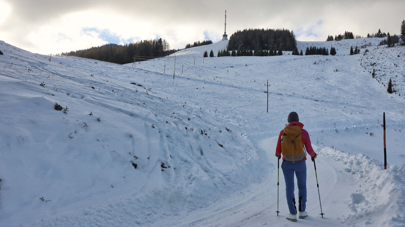
Blick auf den Sender | © Weges OG | Weges OG
6/13
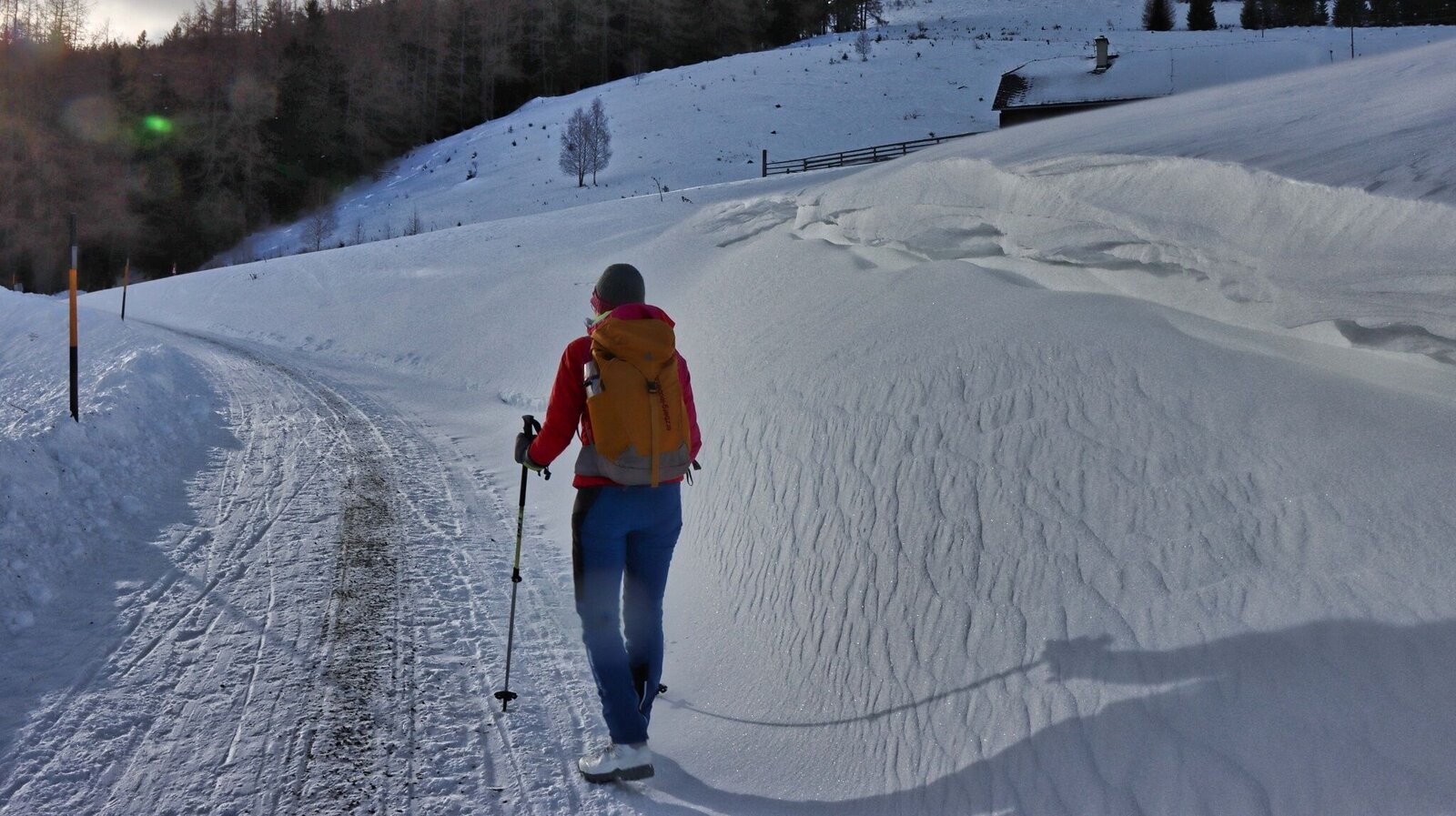
Der Weg führt uns beim Ochsenstall vorbei | © Weges OG | Weges OG
7/13
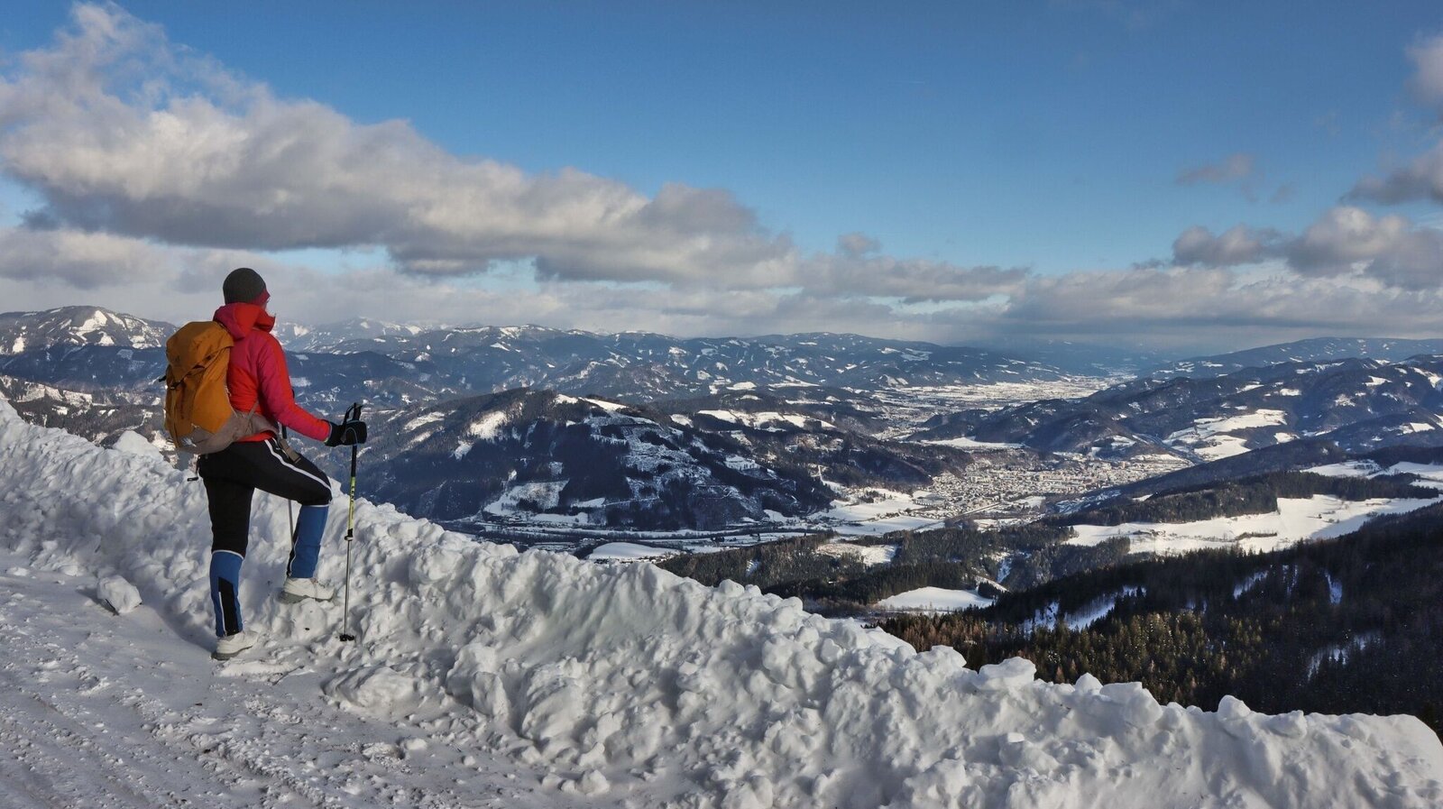
Wir genießen den Ausblick | © Weges OG | Weges OG
8/13
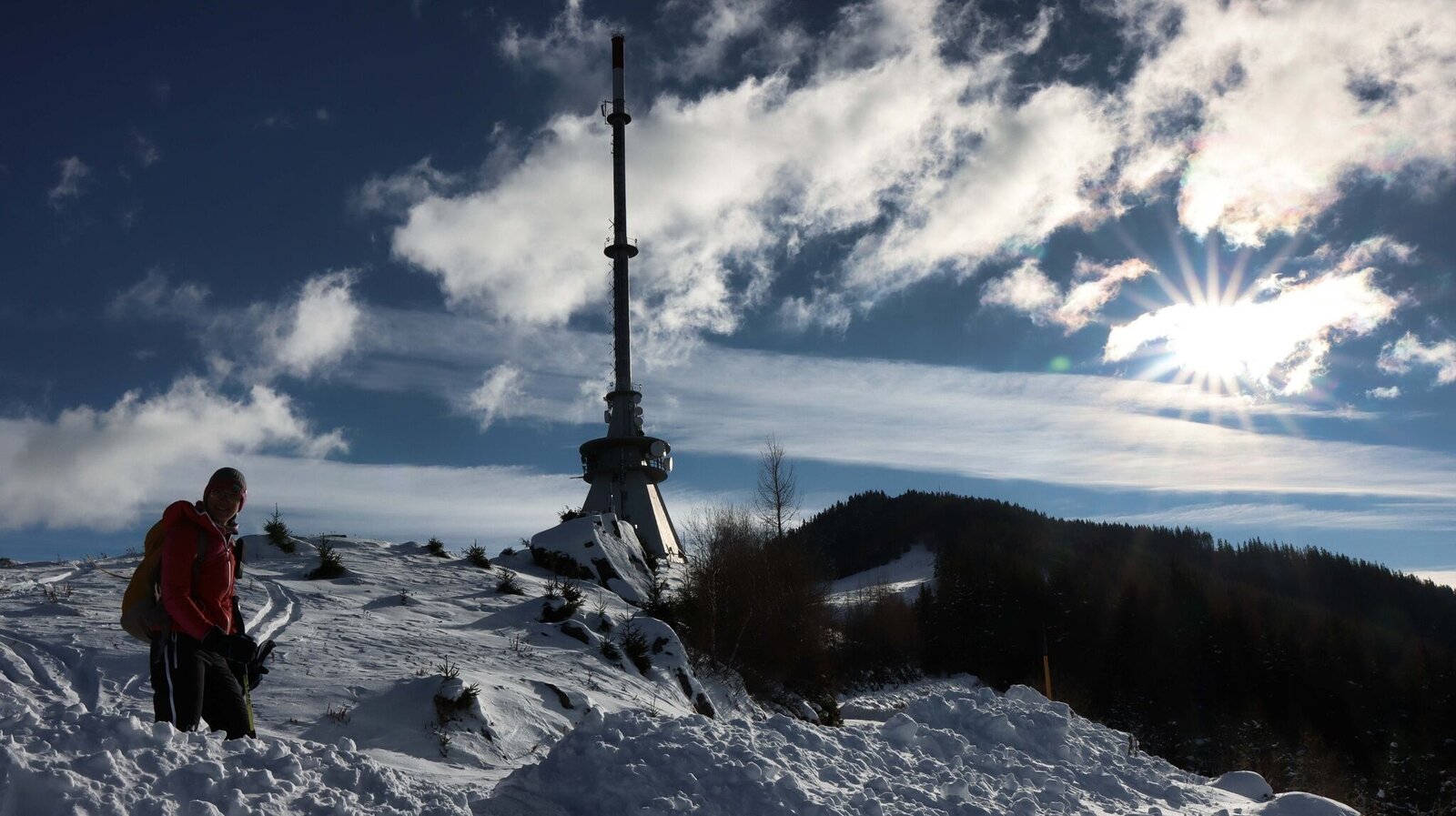
Beim Sender wandern wir vorbei | © Weges OG | Weges OG
9/13
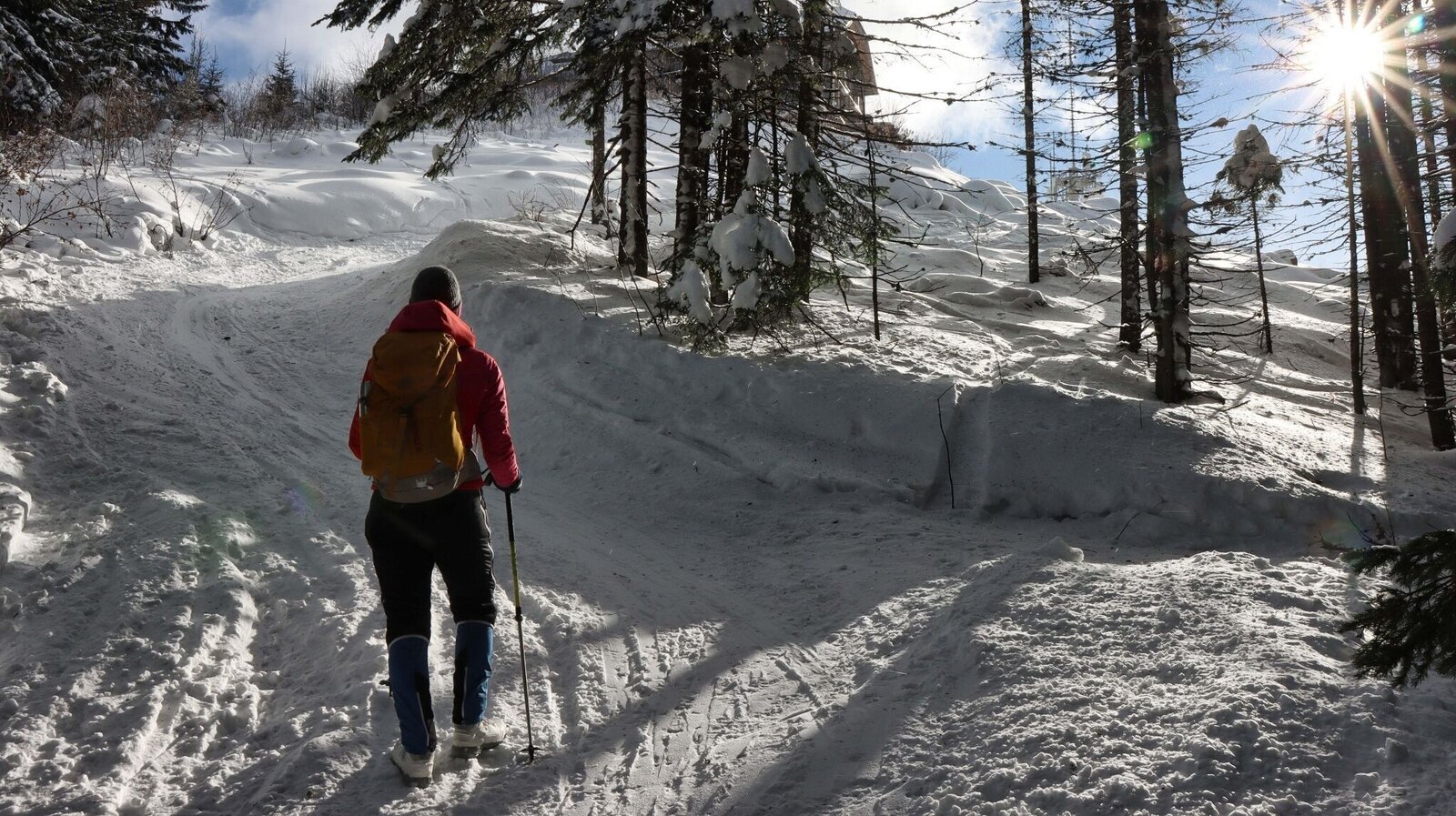
Kurz vor dem Gipfel | © Weges OG | Weges OG
10/13
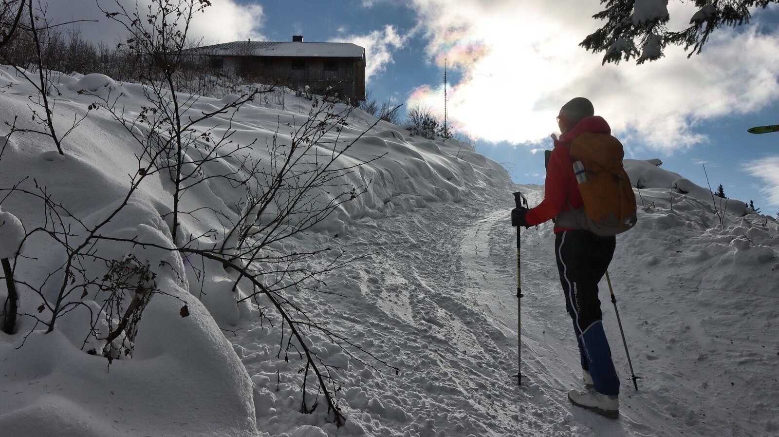
Wir erreichen das Hans-Prosl-Haus | © Weges OG | Weges OG
11/13
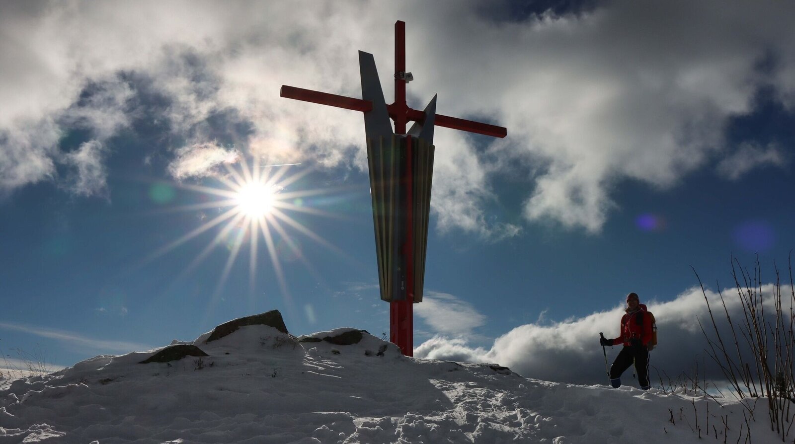
Stimmung am Gipfel | © Weges OG | Weges OG
12/13
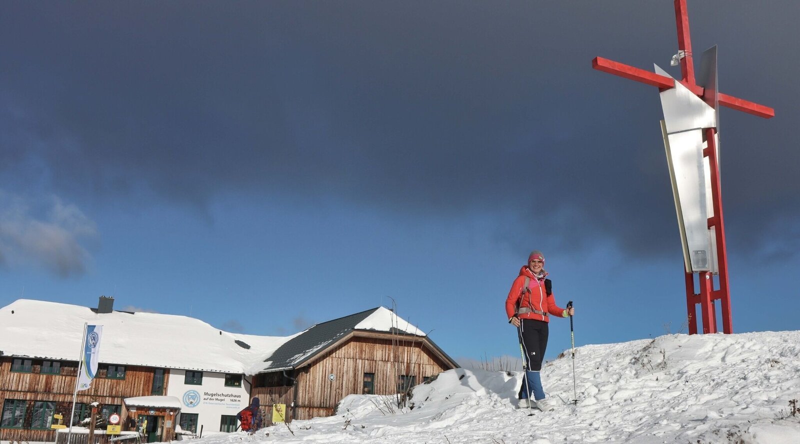
Am Gipfel - im Hintergrund das Mugel Schutzhaus | © Weges OG | Weges OG
13/13

What the weather will be like Leoben (542m)
Today, 23.10.2026
The day starts sunny, but will be partly cloudy in the afternoon.Morning

1°C
sr.Regenwahrscheinlichkeit
0%
sr.Windstärke
0 km/h
Noon

12°C
sr.Regenwahrscheinlichkeit
0%
sr.Windstärke
5 km/h
Night

7°C
sr.Regenwahrscheinlichkeit
0%
sr.Windstärke
0 km/h
Tomorrow, 24.10.2026
Rain at daybreak, then slowly drying up and partly sunny during the day.Morning

4°C
sr.Regenwahrscheinlichkeit
80%
sr.Windstärke
5 km/h
Noon

10°C
sr.Regenwahrscheinlichkeit
55%
sr.Windstärke
5 km/h
Night
5°C
sr.Regenwahrscheinlichkeit
20%
sr.Windstärke
5 km/h
Forecast
25.10.2026
1°C
11°C
26.10.2026
3°C
14°C
27.10.2026
2°C
15°C
