


Lantschern-Gatschen-Way
Accessible by public transport- Public bus (within 15 minutes walking distance from starting point)
Characteristics
SkillThe tour in numbers
Level of difficulty
easy
Route
10,0 km
Time
3:00 h
Uphill
275 hm
Downhill
275 hm
Highest point
909 m
Direction Bauhof and along the Gulling to the power station, continue to Quilk and via Poserbauer and Hof Steiner back to Aigen.
Along the Gulling water listening to the power station, then short uphill puffing to Quilk. After the Poserbauer, take a deep breath through the forest to the Steiner farm. Here then looking over Lantschern and Niederdorf back to the village.
Best season
January
February
March
April
May
June
July
August
September
October
November
December
More information
- Coming from Liezen, turn left in Wörschach and follow the signs for Aigen/Ennstal. In Aigen drive through the village and shortly before the end of town sign, turn left and park your car at the large gravel parking lot.
- Coming from Schladming follow the exit Irdning/Aigen at the traffic circle Trautenfels. Drive through Irdning and Schlattham, past the Putterersee and shortly after the town sign Aigen turn right to the large parking lot.
Free, large parkingplace at the start point.
Direction Bauhof and along the Gulling to the power station. Turn right over a steep climb to Quilk. Then left up at the Poserbauer past on a forest road to the 1st bend. Straight ahead and then sharp right down to the Steiner farm and via Lantschern and Niederdorf back to the village.
Way number: 5
- Plan your trip in advance, taking into account walking time, distance, elevation gain, hazards, and weather reports.
- Let others know where you are going and when you want to be back.
- Turn back in good time if the weather deteriorates. If you are caught in a thunderstorm, stay away from free-standing trees and wait out the storm, crouching if possible.
- Stay on marked trails and remember to close pasture fences.
- If you are a dog owner: Clarify before the hike if you need to cross a pasture. Keep your dog on a leash and make sure it stays calm. If a cow attacks, let the dog off the leash immediately. Never pick him up to defend him.
With the bus940/941 to the busstop ,,Aigen Ort'' or ,,Putterersee''. Near there is the start point.
The next trainstation is far away 6 kilometers.
Tourism information: www.schladming-dachstein.at
Schladming-Dachstein Tourist Office
Ramsauerstraße 756
8970 Schladming
T: +43 3687 23310
info@schladming-dachstein.at
- SCHLADMING-DACHSTEIN Hiking EAST. Available free of charge from tourist offices and accommodation providers.
- SCHLADMING-DACHSTEIN Hiking Map 1:50,000
Map & downloads
Gallery
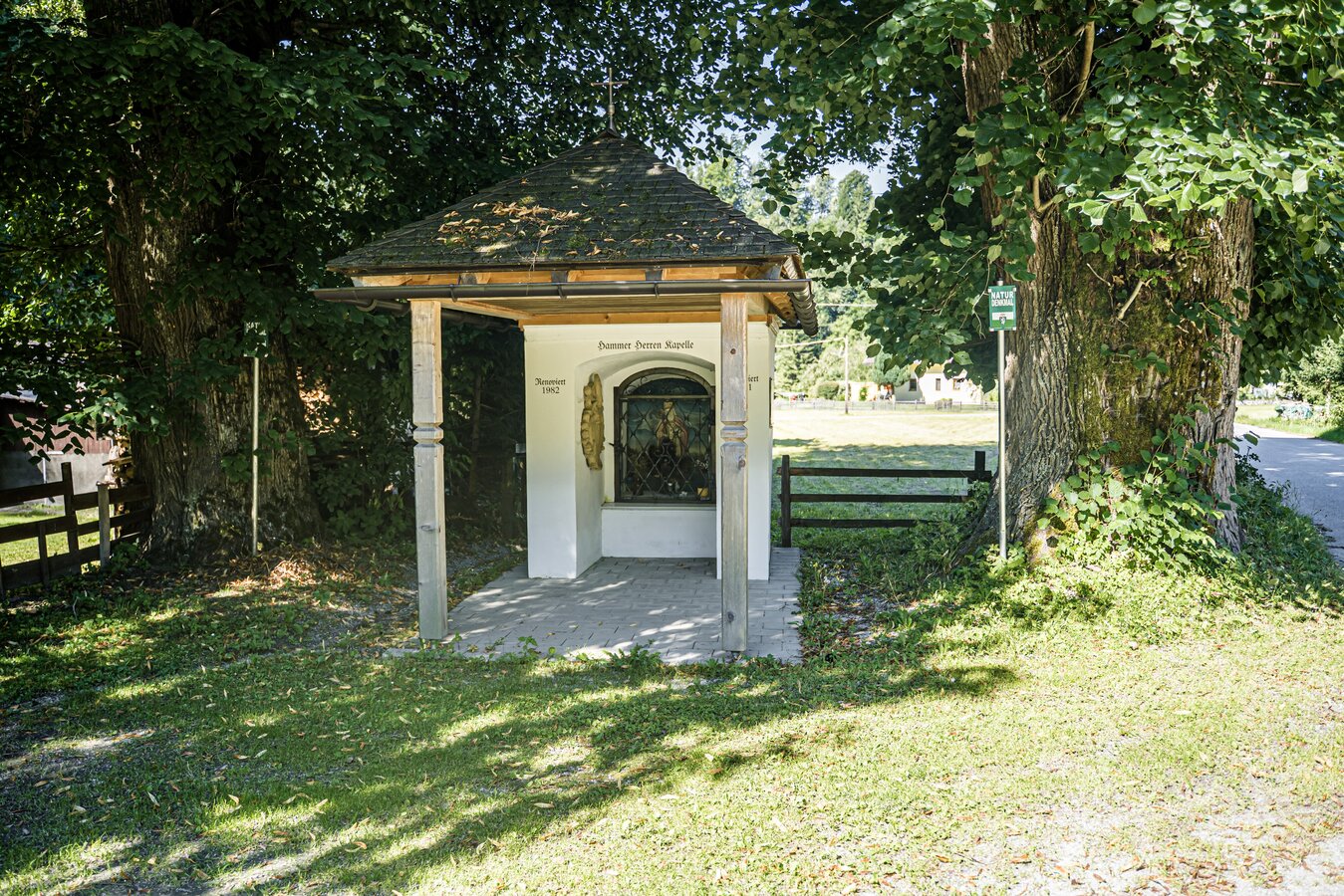
20250808_aigen-gatschberg-donnersbach_3993.jpg | © Gerhard Pilz | Gerhard Pilz
1/5
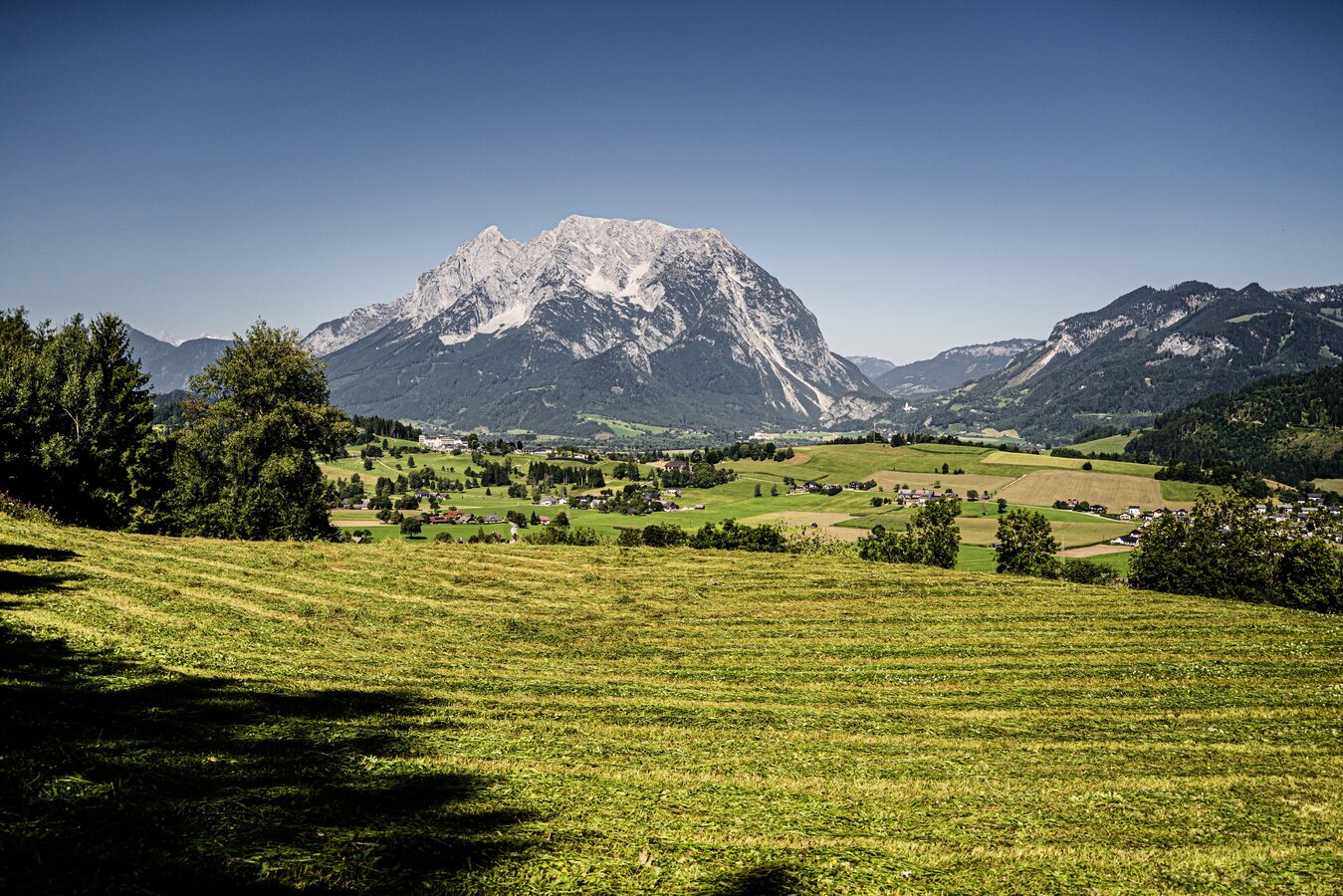
20250808_aigen-gatschberg-donnersbach_3999.jpg | © Gerhard Pilz | Gerhard Pilz
2/5
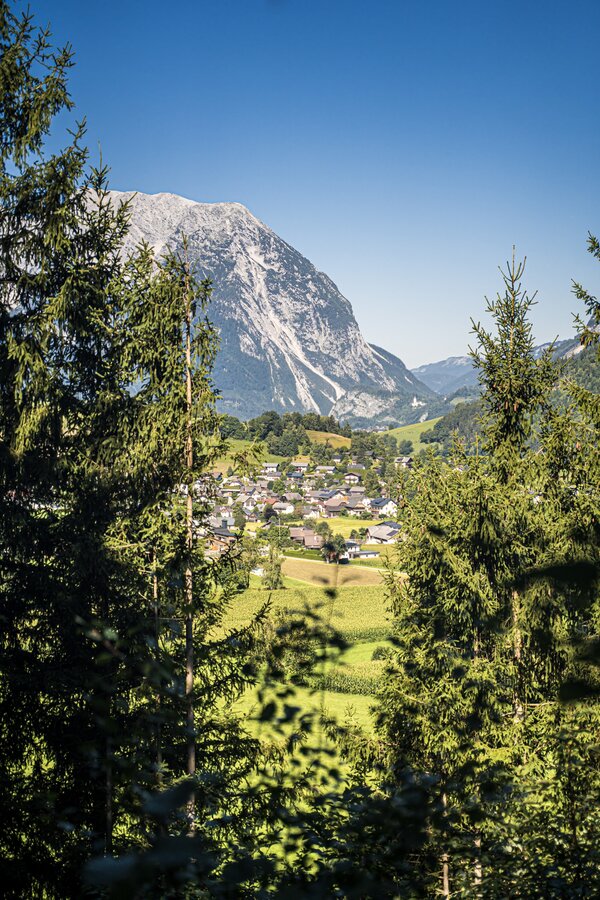
20250808_aigen-gatschberg-donnersbach_3997.jpg | © Gerhard Pilz | Gerhard Pilz
3/5
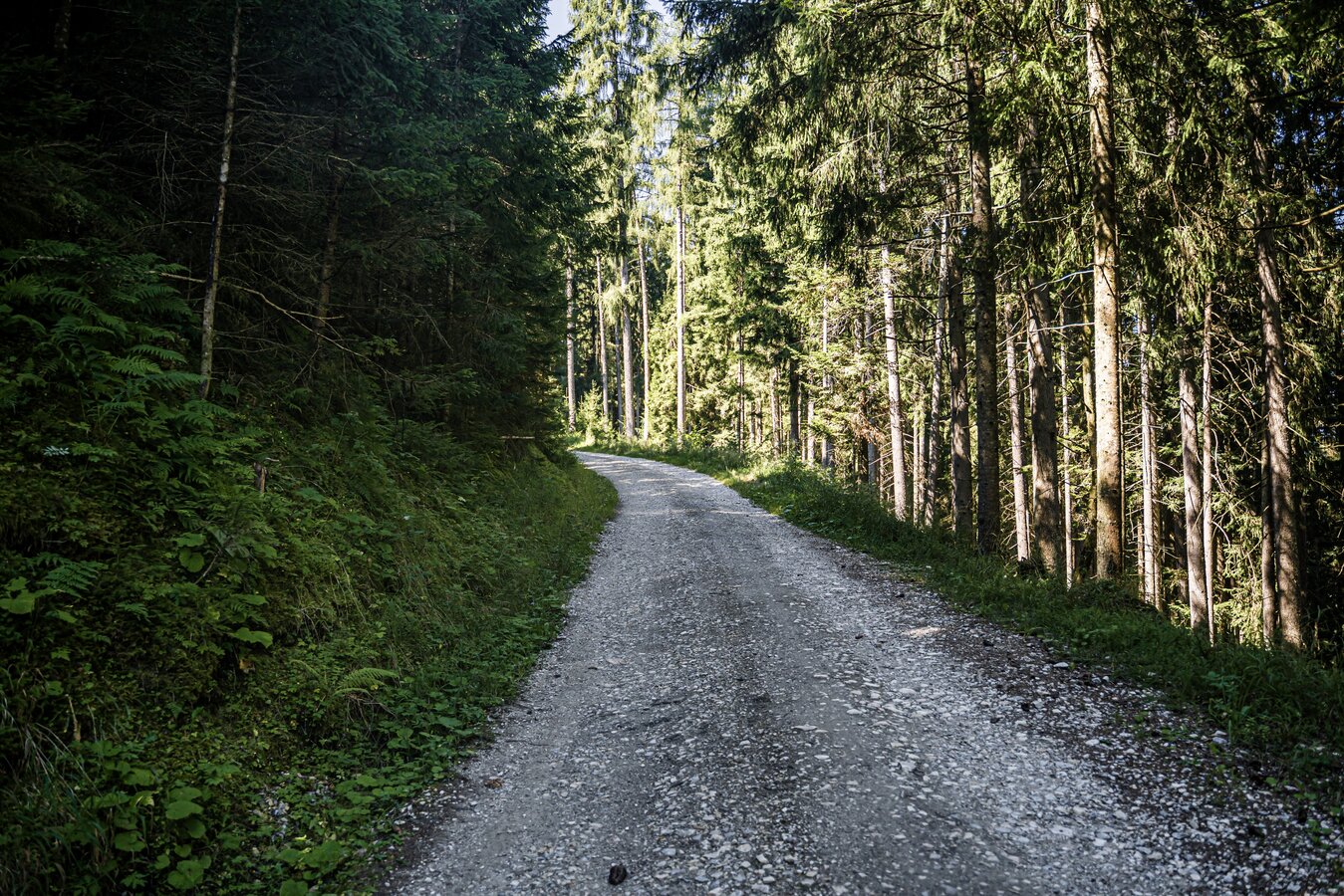
20250808_aigen-gatschberg-donnersbach_4001.jpg | © Gerhard Pilz | Gerhard Pilz
4/5
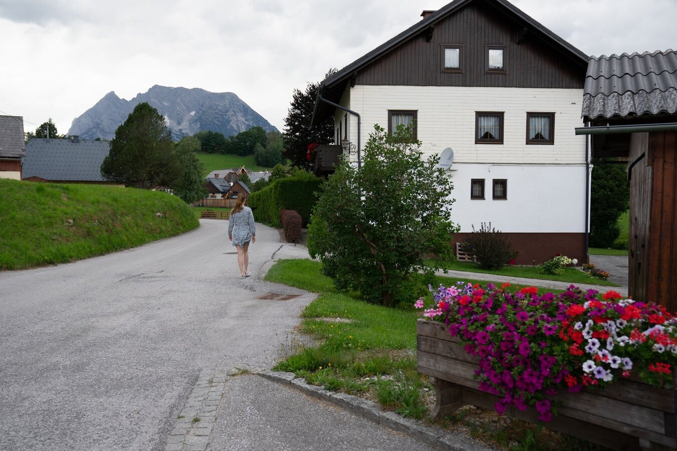
Lantschern-Gatschen-Weg | © Erlebnisregion Schladming-Dachstein | Christoph Lukas
5/5

What the weather will be like Aigen im Ennstal (652m)
Today, 24.10.2026
Rainfall will end around noon, then the clouds will break up.Morning

3°C
sr.Regenwahrscheinlichkeit
95%
sr.Windstärke
5 km/h
Noon

7°C
sr.Regenwahrscheinlichkeit
80%
sr.Windstärke
10 km/h
Night

4°C
sr.Regenwahrscheinlichkeit
20%
sr.Windstärke
5 km/h
Tomorrow, 25.10.2026
Mostly cloudy and rain, which will increase more and more.Morning
0°C
sr.Regenwahrscheinlichkeit
10%
sr.Windstärke
5 km/h
Noon
7°C
sr.Regenwahrscheinlichkeit
65%
sr.Windstärke
5 km/h
Night
7°C
sr.Regenwahrscheinlichkeit
80%
sr.Windstärke
10 km/h
Forecast
26.10.2026
1°C
11°C
27.10.2026

0°C
13°C
28.10.2026
1°C
12°C
