


Closed
Lachtal high-altitude trail
Characteristics
SkillThe tour in numbers
Level of difficulty
easy
Route
2,5 km
Time
0:28 h
Uphill
32 hm
Downhill
41 hm
Highest point
1620 m
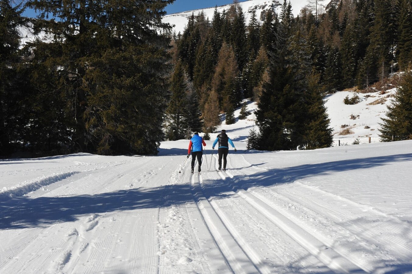
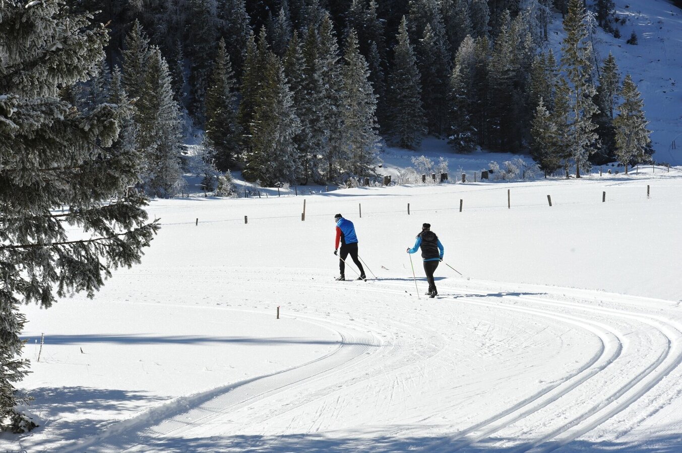
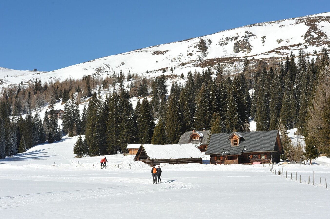
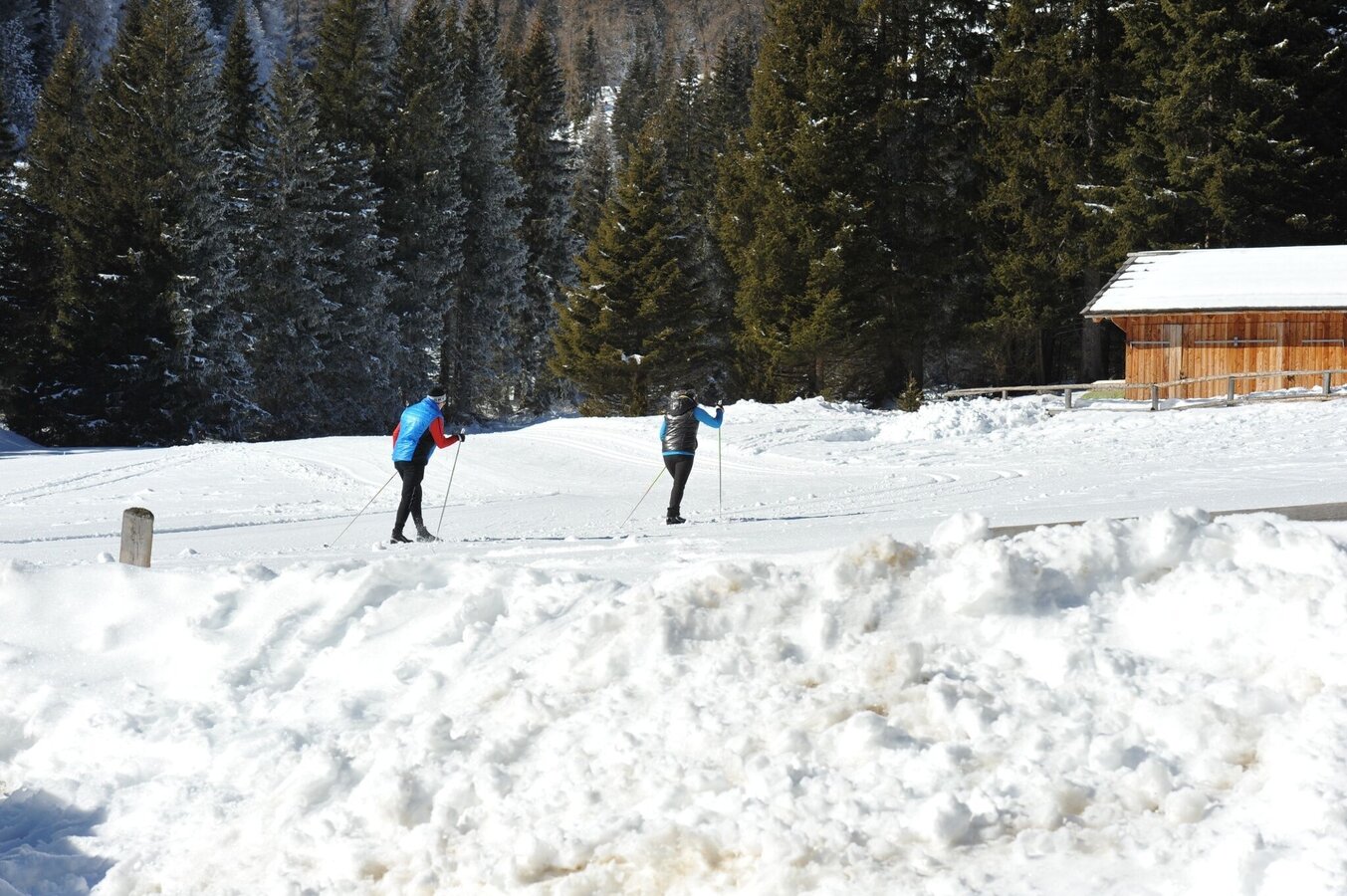
Cross-country ski trail on Lachtal. Far from the main road, Lachtal's wintry landscape can be really enjoyed here.
The Lachtal cross-country ski trail offers a 2.5 km circular route on the so-called “Reifboden.” Both classic and skating tracks are available.
Best season
January
February
March
April
May
June
July
August
September
October
November
December
More information
From D, NL, B, F: Via Munich, Salzburg, Tauernautobahn to St. Michael/Lungau (or Radstätter Tauernpaß), turn off to Tamsweg - Murau, Lachtal.
You have parking space at the so-called Reifboden. You drive along the road to the left of the Lachtalhaus, towards the Kleinlachtalhütte. After a short drive you will come to a hill where the frost is located.
From H: Via St. Gotthard, Graz - Packautobahn (Twimberg exit) - Judenburg - Oberzeiring - Lachtal.
From CH: Via Arlberg, Innsbruck, Bischofshofen, Tauernautobahn to St. Michael/Lungau (or Radstätter Tauernpaß), turn off to Tamsweg - Murau, Lachtal.
From I: Via Tarvis, Villach, St. Veit/Glan, Scheifling, Niederwölz, Lachtal.
By car from Vienna: Via Semmering, Bruck/Mur, Judenburg, Oberzeiring, Lachtal.
You have parking space at the so-called Reifboden. You drive along the road to the left of the Lachtalhaus, towards the Kleinlachtalhütte. After a short drive you will come to a hill where the frost is located.
If there is no space there, you can also use the parking lot at the Lachtal valley station free of charge.
Follow the signposted cross-country ski trail.
- Cross-country skiing equipment
- Headgear
- Waterproof gloves
- Maybe sunglasses
With the BusBahnBim app from the interconnected line, timetable information is easier than ever before: all bus, train and tram connections in Austria can be queried by entering locations and/or addresses, stops or important points. The app is available as a free app for smartphones (Android, iOS) - on Google Play and in the App Store.
ÖBB www.oebb.at | Styria connection line www.busbahnbim.at
The ideal time for this trail is December to March. Information brochures are available at the various information offices.
Map & downloads
Gallery
höhenloipe lachtal_img_42481295 | © Tourismusverband Murau | Alexander Brunner
1/4
Langlaufloipe | © Tourismusverband Murau | Alexander Brunner
2/4
höhenloipe lachtal_img_42481284 | © Tourismusverband Murau | Alexander Brunner
3/4
höhenloipe lachtal_img_42481285 | © Tourismusverband Murau | Alexander Brunner
4/4

What the weather will be like Oberwölz (833m)
Today, 23.10.2026
The day starts sunny, but will be partly cloudy in the afternoon.Morning

1°C
sr.Regenwahrscheinlichkeit
0%
sr.Windstärke
5 km/h
Noon

10°C
sr.Regenwahrscheinlichkeit
0%
sr.Windstärke
5 km/h
Night
6°C
sr.Regenwahrscheinlichkeit
5%
sr.Windstärke
0 km/h
Tomorrow, 24.10.2026
The rain will end in the early afternoon, and the skies will break up afterwards.Morning

3°C
sr.Regenwahrscheinlichkeit
80%
sr.Windstärke
0 km/h
Noon
7°C
sr.Regenwahrscheinlichkeit
75%
sr.Windstärke
5 km/h
Night
2°C
sr.Regenwahrscheinlichkeit
35%
sr.Windstärke
0 km/h
Forecast
25.10.2026

-1°C
9°C
26.10.2026

1°C
13°C
27.10.2026
0°C
15°C
