


HEARING water in Laßnitzhöhe
Accessible by public transport- Train (within 15 minutes walking distance from starting point)
- Public bus (within 15 minutes walking distance from starting point)
Characteristics
SkillThe tour in numbers
Level of difficulty
easy
Route
6,5 km
Time
2:00 h
Uphill
210 hm
Downhill
210 hm
Highest point
539 m
The wasser HÖREN trail in Laßnitzhöhe winds through peaceful woodland, passing a natural spring, scenic ponds and a new Kneipp facility nestled in the forest.
The 6.6-kilometre wasser HÖREN trail (route no. 11) explores the northeastern part of Laßnitzhöhe. This varied circular route follows mainly forest paths and wide forestry tracks through gently rolling countryside, passing cultivated fields and scenic ponds. With very little asphalt and a series of gentle climbs and descents, it is well suited for hiking, Nordic walking and running.
Highlights along the trail include a natural drinking water spring near the railway station and a Kneipp facility nestled in the forest. The facility features an arm bath, a water-treading pool with three different water depths and a variety of ground textures. Information boards explain how to use the facilities correctly. The Kneipp area is temporarily closed during the colder months for winter maintenance.
Best season
January
February
March
April
May
June
July
August
September
October
November
December
More information
Take the A2 motorway to the Laßnitzhöhe exit and continue to the village centre.
Parking: Parking is available in the town centre, along Kapellenstraße and at the Park & Ride Laßnitzhöhe railway station.
The route starts in the centre of Laßnitzhöhe. Yellow signs marked “wasser HÖREN” (route no. 11) lead downhill along the road towards the railway station. After a few metres, the trail turns left into a dead-end street. At the end of the street, a wide forestry track continues through the woods to the “Der letzte Schrei” experience station. From here, the route turns right and briefly shares a section with the sebastian RELOADED® themed trail (route no. 10). At the next junction, the trail turns left and continues through the forest and along its edge towards the railway station. A natural spring nearby provides fresh drinking water and an opportunity to refill water bottles.
The route then runs parallel to the railway tracks. At the second railway underpass, it turns left and climbs gently past the ponds. On reaching the road, the trail turns left through a sparsely populated area. At the next junction, it turns left again before taking a narrow path downhill to the right after a few metres. From here, the route continues entirely through the forest, with several short climbs and descents. At the familiar junction, a right turn leads back to the centre of Laßnitzhöhe.
Hiking or mountain boots, hiking poles if needed
Daypack with rain cover
Water bottle, lunch box and snacks
Light rain poncho and/or umbrella
Sun protection
First-aid kit
Mobile phone/GPS device
Daypack with rain cover
Water bottle, lunch box and snacks
Light rain poncho and/or umbrella
Sun protection
First-aid kit
Mobile phone/GPS device
Explore more of Laßnitzhöhe on the 7.3 km sebastian RELOADED® themed trail (route no. 10). Further information: sebastianreloaded.at
Train:
Take S-Bahn line S3 to Laßnitzhöhe railway station.
Laßnitzhöhe is also served by bus routes 420 and 430.
Free hiking maps and information:
Graz Region Tourist Board
Herrengasse 16
8010 Graz
T: +43 316 80750
info@regiongraz.at
Laßnitzhöhe Information Office
Hauptstraße 23
8301 Laßnitzhöhe
T: +43 676 847895805, lassnitzhoehe@regiongraz.at
Map & downloads
Gallery

Fresh Spring Water on the wasser HÖREN Trail | © Region Graz | Tom Lamm
1/5

_TITELBILD_wasser HÖREN (c) MG Laßnitzhöhe (7).JPG | © Marktgemeinde Laßnitzhöhe | Markus Zaunschirm
2/5
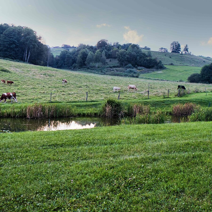
Stimmung unterwegs | © Weges OG | Weges OG
3/5

Gemütliches Dahinwandern | © Region Graz | Weges OG
4/5

Laßnitzhöhe Kunst(c) MG Laßnitzhöht (4).JPG | Markus Zaunschirm
5/5

What the weather will be like Laßnitzhöhe (532m)
Today, 23.10.2026
The day starts sunny, but will be partly cloudy in the afternoon.Morning

4°C
sr.Regenwahrscheinlichkeit
0%
sr.Windstärke
5 km/h
Noon

11°C
sr.Regenwahrscheinlichkeit
0%
sr.Windstärke
5 km/h
Night

8°C
sr.Regenwahrscheinlichkeit
0%
sr.Windstärke
5 km/h
Tomorrow, 24.10.2026
Rainfall will end around noon, then the clouds will break up.Morning

6°C
sr.Regenwahrscheinlichkeit
85%
sr.Windstärke
5 km/h
Noon

8°C
sr.Regenwahrscheinlichkeit
60%
sr.Windstärke
5 km/h
Night
6°C
sr.Regenwahrscheinlichkeit
30%
sr.Windstärke
5 km/h
Forecast
25.10.2026
3°C
11°C
26.10.2026
5°C
14°C
27.10.2026
6°C
14°C
