


Großer Ringkogel from the Reicherhube
Characteristics
SkillThe tour in numbers
Level of difficulty
challenging
Route
16,8 km
Time
6:30 h
Uphill
1220 hm
Downhill
1220 hm
Highest point
2277 m
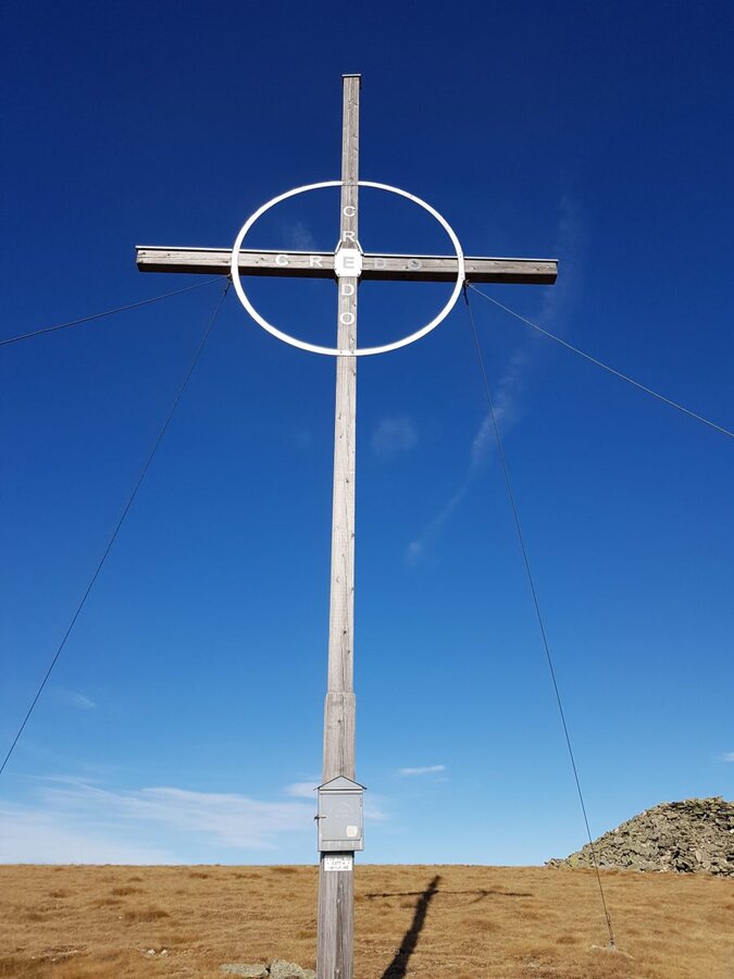
From the Reicherhuber we hike via the Wolfsgrube to the Repenstein, 1958 m. Above the tree line, the signposted trail leads steadily uphill, first to the Kleiner Ringkogel and then to the Großer Ringkogel, 2277 metres. A characteristic mountain tour along the broad mountain ridges in the Seckau Alps in the Murtal adventure region.
The hike leads via the Wolfsgrube to the Repenstein and on to the large Ringkogel. In the lower section we are in the forest area, at the "Siebenbauern" we come to a dense mountain pine area and from the Repenstein we hike over the ascending mountain ridge to the large Ringkogel.
Best season
January
February
March
April
May
June
July
August
September
October
November
December
More information
Knittelfeld-Gaal-Gaalgraben- Ingering II - direction Ingeringsee.
There is a car park next to the Praterbrücke.
There is a car park next to the Praterbrücke.
For a conflict-free coexistence on alpine pastures and meadows it is important to observe a few rules, especially when traveling with dogs. (Source: www.sichere-almen.at - 06/2021)
- Avoid contact with grazing animals, do not feed them, keep a safe distance!
- Keep calm, do not frighten grazing animals!
- Mother cows protect their calves. Avoid encounters between mother cows and dogs!
- Always keep dogs under control and on a short leash. If an attack by a grazing animal is foreseeable: Immediately unleash!
- Do not leave hiking trails on alpine pastures and meadows!
- If grazing animals block the way, avoid them as far as possible!
- When grazing animals approach: Stay calm, do not turn your back, avoid the animals!
- Leave the grazing area quickly at the first sign of restlessness of the animals!Fences must be respected!
- If there is a gate, use it, then close it well and cross the pasture quickly!
- Treat the people working here, nature and the animals with respect!
A few tips for correct and fair behavior in the forest: (Source: www.bundesforste.at - 6/2021)
- Hikers should avoid visits to the forest about 1.5 hours before sunrise and after sunset, as wildlife is especially active during this time.
- Plastic bottles, handkerchiefs, cigarette butts & Co have no place in the forest! Please make sure that you do not leave any trash in the forest.
- Camping and making fire - is strictly forbidden in the forest!
- In principle, each person is allowed to collect 2 kg of mushrooms and berries per day for personal use in the forest. It is only forbidden if the forest owner expressly forbids it.
Alpine emergency call:
Mountain rescue emergency number: 140
EU emergency number: 112
Weather service: www.zamg.ac.at
Direct link mountain weather Styria: https://www.zamg.ac.at/cms/de/wetter/produkte-und-services/bergwetter/steiermark
- Backpack with rain cover
- Telescopic / hiking poles
- Mountain / hiking boots
- Gloves: waterproof and warming
- Headgear / sunglasses
- Outerwear: Onion layer system, T-shirt, sweater, jacket and winter jacket with hood
- Hiking pants
- Seat pad
- Drinking bottle / thermos flask (on cooler days a warming drink is pleasant)
- Snack
- First aid kit with blister plaster and tick tongs
Other important equipment
- Route descriptionDetailed
- plan of the hike
- Hiking map: For overview a map in scale 1 : 50 000 of the respective region
- GPS device
- cell phone
Once back in the Gaal, the Reicherhube is a great place to visit!Hiking maps are available free of charge in the municipality of Gaal or in the box at the car park. Please note the spear times on the access road towards Ingeringstraße. Information - Municipality of Gaal
Information on public transportation can be found at www.verbundlinie.at
Erlebnisregion Murtal
Wanderkarte freytag & berndt WK 212 Seetaler Alpen, Seckauer Alpen, Judenburg, Knittelfeld
Wegnummer: 980
Map & downloads
Gallery
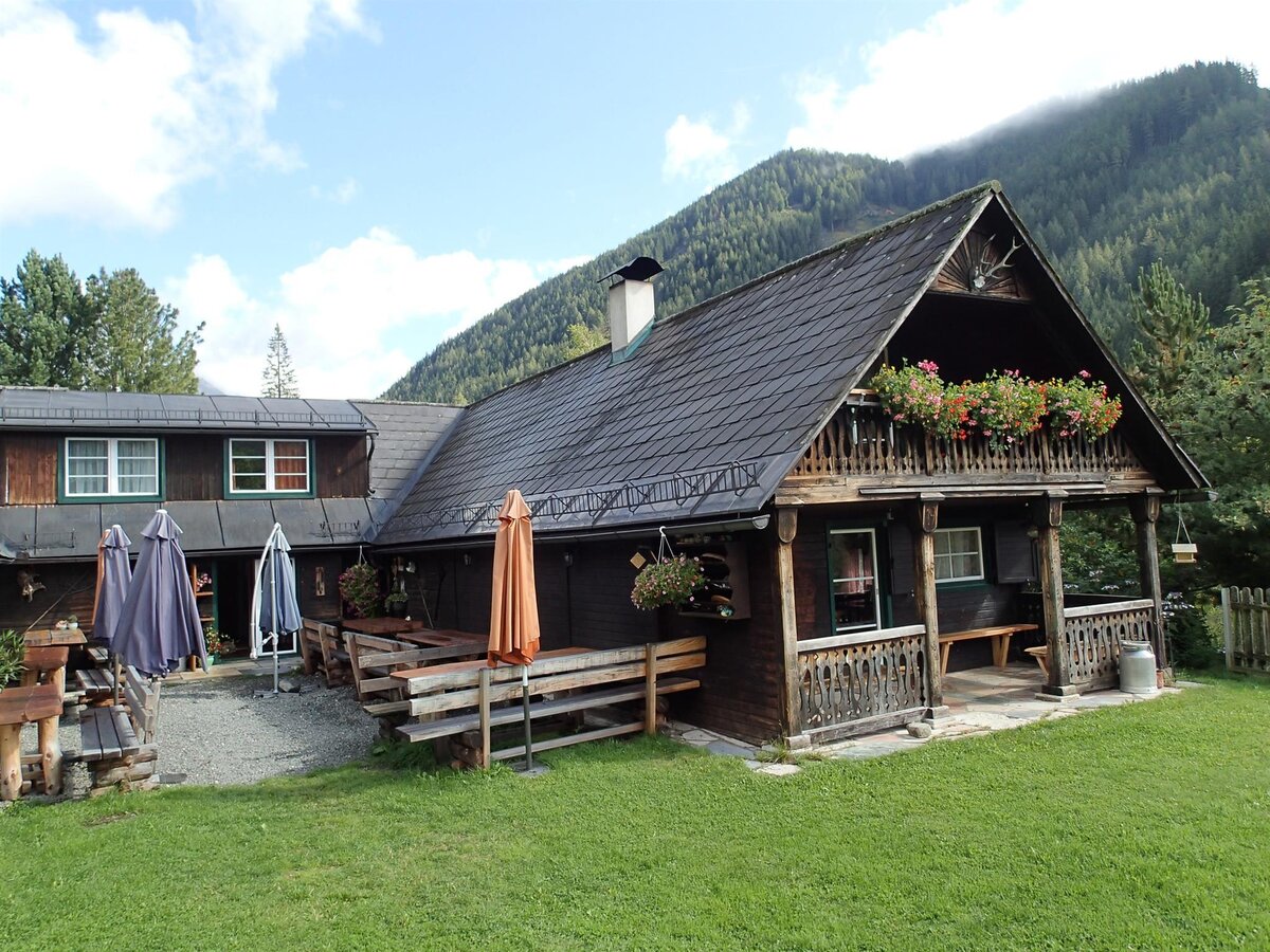
ReicherHube Gaal-Murtal-Steiermark | © Erlebnisregion Murtal | Reicherhube
1/5
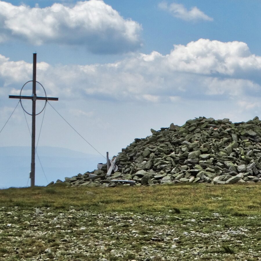
Gipfel Ringkogel in der Gaal | © Erlebnisregion Murtal | Helene Steiner
2/5
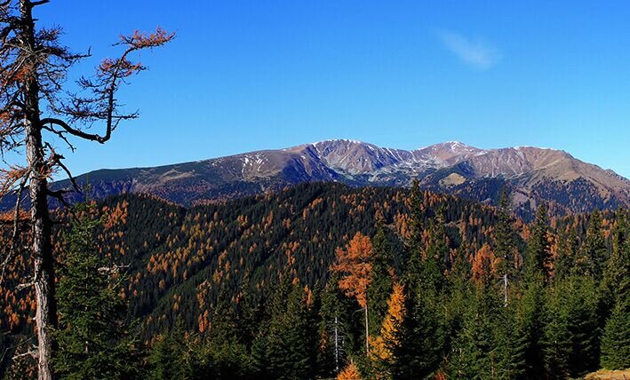
großer ringkogel von der reicherhube_img_17361862 | © Erlebnisregion Murtal | Manuela Machner
3/5
Blühender Erika | © Erlebnisregion Murtal | Martin Muhrer
4/5
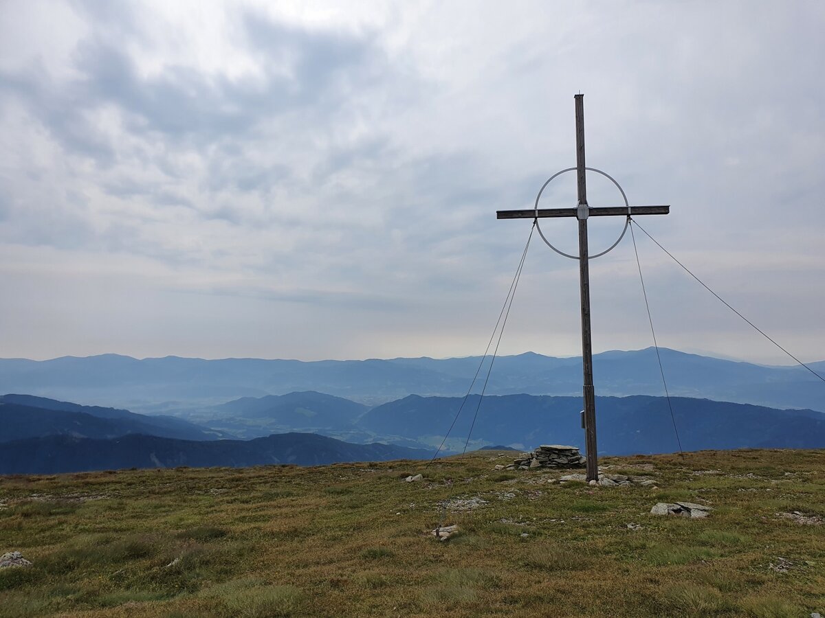
großer ringkogel von der reicherhube_img_94997344 | © Erlebnisregion Murtal | Martin Muhrer
5/5

What the weather will be like Gaal (874m)
Today, 23.10.2026
The day starts sunny, but will be partly cloudy in the afternoon.Morning

-1°C
sr.Regenwahrscheinlichkeit
0%
sr.Windstärke
5 km/h
Noon

10°C
sr.Regenwahrscheinlichkeit
0%
sr.Windstärke
5 km/h
Night
5°C
sr.Regenwahrscheinlichkeit
0%
sr.Windstärke
5 km/h
Tomorrow, 24.10.2026
Scattered showers in the beginning, gradually becoming sunny in the afternoon.Morning

3°C
sr.Regenwahrscheinlichkeit
75%
sr.Windstärke
5 km/h
Noon

6°C
sr.Regenwahrscheinlichkeit
65%
sr.Windstärke
10 km/h
Night
3°C
sr.Regenwahrscheinlichkeit
30%
sr.Windstärke
5 km/h
Forecast
25.10.2026
0°C
9°C
26.10.2026

2°C
12°C
27.10.2026
2°C
14°C
