


Circular route around the stream
Accessible by public transport- Train (within 15 minutes walking distance from starting point)
The tour in numbers
Level of difficulty
easy
Route
6,7 km
Time
2:15 h
Uphill
225 hm
Downhill
225 hm
Highest point
881 m
moderate hike through Öblarn
Continue along the R7 cycle path in the direction of the Bach district to the Einöder farm uphill to the Stapfer estate, continue to the Randler junction, uphill to the Öblarn MG spring tapping, downhill to the left to the Grabnerhof, on Schattenbergstraße to Öblarn.
Best season
January
February
March
April
May
June
July
August
September
October
November
December
Map & downloads
Gallery
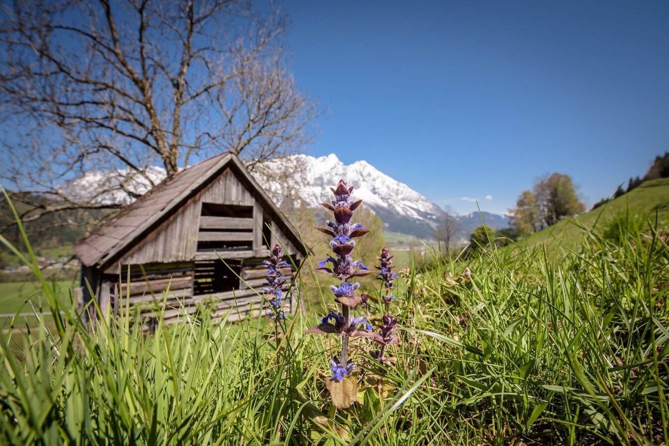
Stream-side circular trail with mountain views | © Erlebnisregion Schladming-Dachstein | Schladming Dachstein
1/3
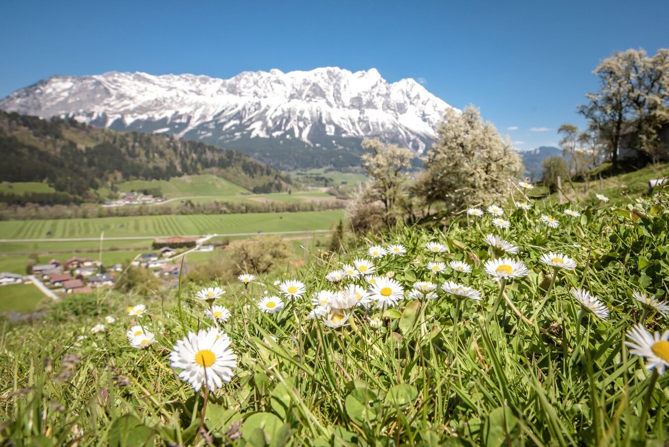
Riverside loop trail with mountain panorama | © Erlebnisregion Schladming-Dachstein | Schladming Dachstein
2/3
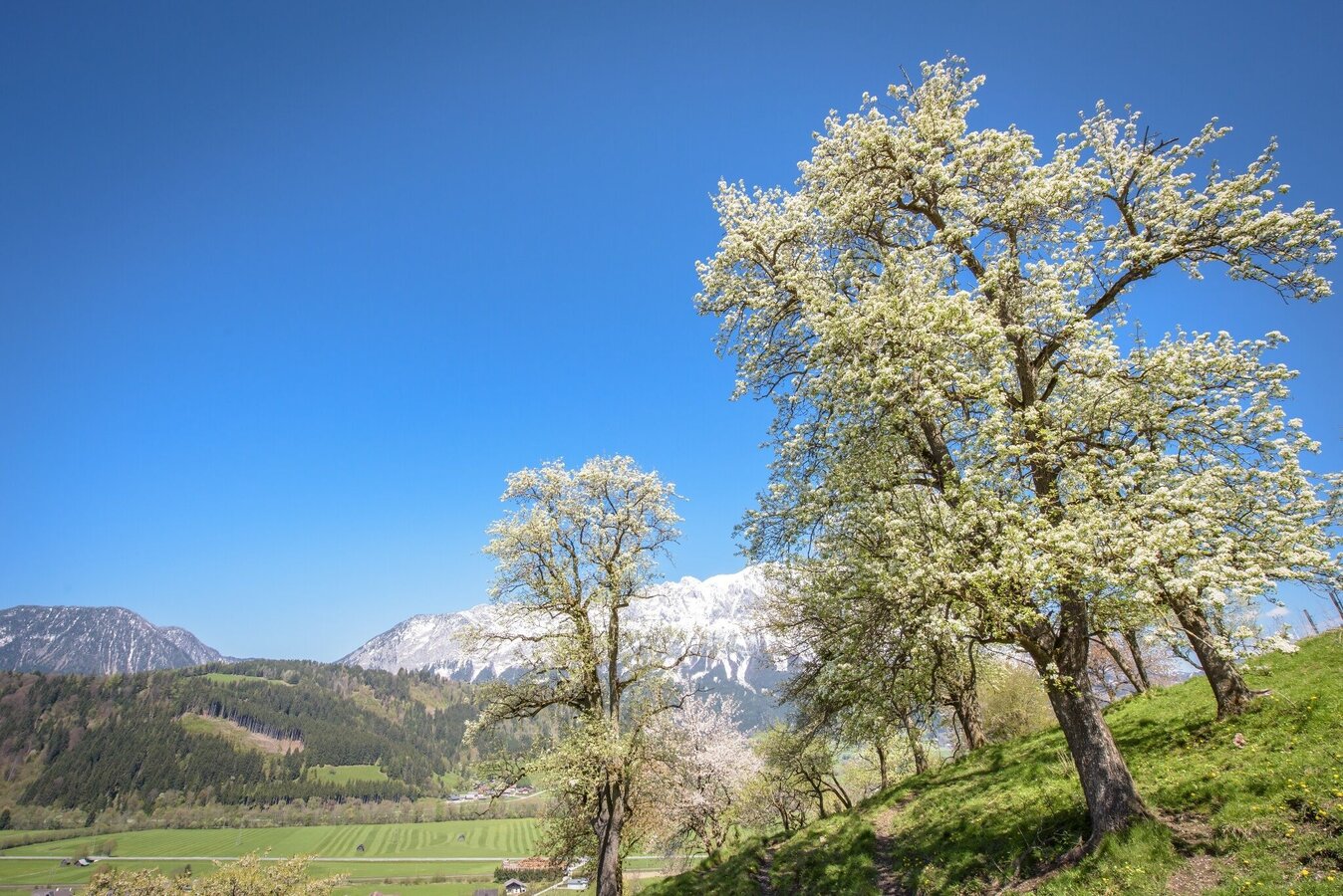
Riverside loop trail with mountain panorama | © Erlebnisregion Schladming-Dachstein | Schladming Dachstein
3/3

What the weather will be like Öblarn (668m)
Today, 23.10.2026
The day starts sunny, but will be partly cloudy in the afternoon.Morning

2°C
sr.Regenwahrscheinlichkeit
0%
sr.Windstärke
5 km/h
Noon

11°C
sr.Regenwahrscheinlichkeit
0%
sr.Windstärke
5 km/h
Night

6°C
sr.Regenwahrscheinlichkeit
5%
sr.Windstärke
5 km/h
Tomorrow, 24.10.2026
Rainfall will end around noon, then the clouds will break up.Morning

4°C
sr.Regenwahrscheinlichkeit
85%
sr.Windstärke
5 km/h
Noon

7°C
sr.Regenwahrscheinlichkeit
75%
sr.Windstärke
5 km/h
Night
4°C
sr.Regenwahrscheinlichkeit
40%
sr.Windstärke
5 km/h
Forecast
25.10.2026
-1°C
10°C
26.10.2026
2°C
13°C
27.10.2026
0°C
15°C
