


Blaufeldscharte & Petznsee
Characteristics
SkillThe tour in numbers
Level of difficulty
medium
Route
22,0 km
Time
8:00 h
Uphill
978 hm
Downhill
978 hm
Highest point
2043 m
A hike that requires good fitness, but is an absolute insider tip.
This hike runs along the Hintereggerbach stream. It offers fantastic views and panoramas of Oberwölz, Hintere Pöllau and the Eselsberger Graben.
Best season
January
February
March
April
May
June
July
August
September
October
November
December
More information
Coming from Judenburg via Unzmarkt to Scheifling. Turn right here and drive towards Murau. In Katsch in der Mur keep right again and drive to St. Peter am Kammersberg. Here turn right again and drive over the Hintere Pöllau to Hinteregg.
Parking spaces are available at the “Sauchner” homestead.
Coming from Tamsweg, drive via Ranten (or Stadl an der Mur) to Murau. Keep left here and drive via Schöder to St. Peter am Kammersberg. In St. Peter am Kammersberg turn left again and drive over the Hintere Pöllau to Hinteregg.
Parking spaces are available at the “Sauchner” homestead.
From the Sauchner farm, follow path no. 935 on foot to the Pranckh hunting lodge 1,332 m, then continue to the end of the valley following the marking 935 in a northerly direction on an alpine forest path. Here you cross the Hintereggerbach and come to the Schwoagerhütte at 1,529 m. Here you keep right and continue to follow the marking 935 and pass the Bodenhütte. Now the path climbs towards Fussiwand, here you can see a wide cascade waterfall that comes down from the first karst step. The path leads very romantically under the first rock faces. At an altitude of 1,800 m you reach the next karst step, here is the upper Petznhütte, right next to another waterfall you climb into the next karst step up to the Fischegelsee. Below the gap, old corral (formerly an important transition to the old “Salzsteig” to Donnersbachwald.), then after about 3 to 3 1/4 hours of walking you finally reach the wide Blaufeldscharte at 2,041 m.
On the descent you can choose the slightly newer route via the Obere Petzenhütte and the “Urbanisteig”.
- Good shoes
- Sun protection
- Sufficient food
As there are no places to stop for refreshments along this hike, it is recommended that you take sufficient food and drink with you.
With the BusBahnBim app from the interconnected line, timetable information is easier than ever before: all bus, train and tram connections in Austria can be queried by entering locations and/or addresses, stops or important points. The app is available as a free app for smartphones (Android, iOS) - on Google Play and in the App Store.
ÖBB www.oebb.at | Styria connection line www.busbahnbim.at
The ideal time for this tour is from May to October. Information brochures are available at the various information offices.
Map & downloads
Gallery
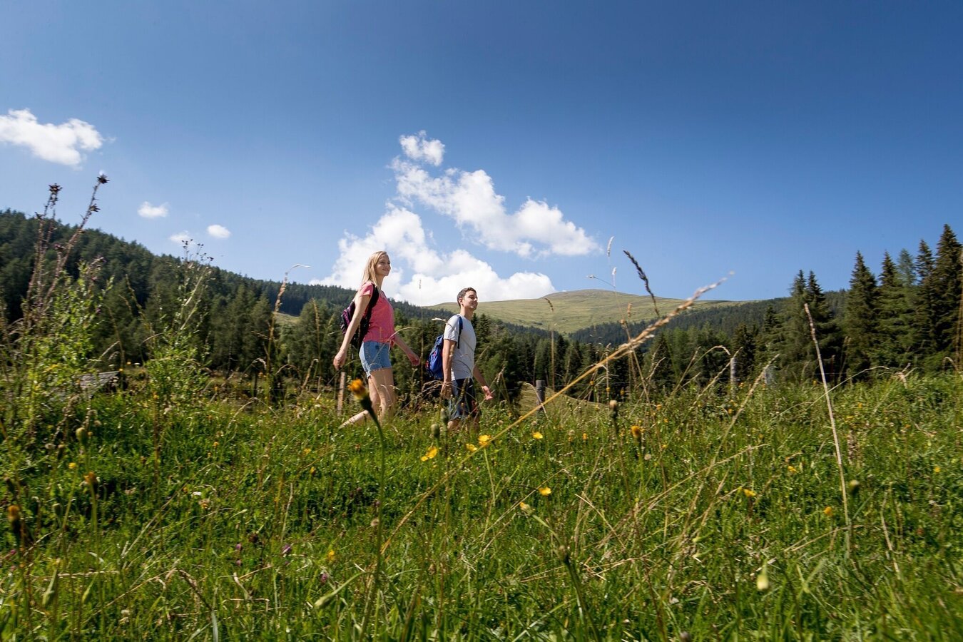
Wandern | © Tourismusverband Murau | Tom Lamm
1/2
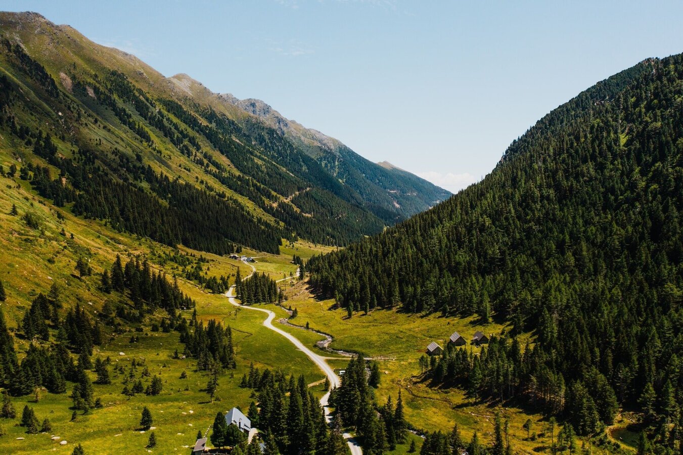
Eselsberger Alm | © Tourismusverband Murau | CM Visuals
2/2

What the weather will be like Oberwölz (833m)
Today, 23.10.2026
The day starts sunny, but will be partly cloudy in the afternoon.Morning

1°C
sr.Regenwahrscheinlichkeit
0%
sr.Windstärke
5 km/h
Noon

10°C
sr.Regenwahrscheinlichkeit
0%
sr.Windstärke
5 km/h
Night
6°C
sr.Regenwahrscheinlichkeit
5%
sr.Windstärke
0 km/h
Tomorrow, 24.10.2026
The rain will end in the early afternoon, and the skies will break up afterwards.Morning

3°C
sr.Regenwahrscheinlichkeit
80%
sr.Windstärke
0 km/h
Noon
7°C
sr.Regenwahrscheinlichkeit
75%
sr.Windstärke
5 km/h
Night
2°C
sr.Regenwahrscheinlichkeit
35%
sr.Windstärke
0 km/h
Forecast
25.10.2026

-1°C
9°C
26.10.2026

1°C
13°C
27.10.2026
0°C
15°C
