


Partially opened, Roadblock
Saurücken Runde G8
Accessible by public transport- Public bus (within 15 minutes walking distance from starting point)
Characteristics
SkillThe tour in numbers
Level of difficulty
medium
Route
5,0 km
Time
1:30 h
Uphill
150 hm
Downhill
150 hm
Highest point
821 m
Lock away
Partially opened
Gröbming: Umleitung Spitalsgraben - Route G8
The Saurücken loop G8 is around 10 kilometres long and can easily be completed in around 2 to 3 hours. It runs along well-marked hiking trails and offers a variety of path conditions, including both forest paths and open fields. The route leads through rural mountainous areas and offers spectacular views of the surrounding mountains and valleys.
Lock away
Partially opened
Gröbming: Umleitung Spitalsgraben - Route G8
The G8 route of the Gröbminger Movement Arena through the Spitalsgraben is currently closed.
A diversion has been set up via Bahnhofstrasse. In the right turn left to houses 349/308/300 and there into Spitalsgraben.
Best season
January
February
March
April
May
June
July
August
September
October
November
December
More information
From Schladming: Leave the B320 Ennstalbundesstraße at the Gröbming exit. After the traffic circle, take the 2nd exit towards Kurpark. Once there, park at one of the parking lots described (Gasthaus zur Post, Gröbming bus station).
From Stainach: Leave the B320 Ennstalbundesstraße at the Gröbming exit. After the traffic circle, take the 3rd exit towards Kurpark. Once there, park in one of the parking lots described (Gasthaus zur Post, Gröbming bus station).
These two free parking lots are available:
From Stainach: Leave the B320 Ennstalbundesstraße at the Gröbming exit. After the traffic circle, take the 3rd exit towards Kurpark. Once there, park in one of the parking lots described (Gasthaus zur Post, Gröbming bus station).
These two free parking lots are available:
- Parking lot behind the Gröbminger bus station
- Parking lot behind the Gasthaus zur Post
The trail begins with a leisurely descent through the Spitalgraben. Over small bridges and along clear streams, the path meanders through an idyllic section of forest that exudes a fairytale atmosphere. A gentle but steady ascent then leads along the Saurücken towards Mitterberg. At the highest point of the tour, at 821 meters, a fantastic view of the picturesque surroundings of Gröbming opens up. From here, the trail follows the Mitterberg road and finally leads through the village back to the starting point. The mixture of shady forests, passages with views and varied sections of trail make this tour a special nature experience.
We recommend the following equipment for a safe tour:
- Comfortable shoes that fit well and are suitable for the terrain.
- Clothing suitable for the weather: Ideally layer principle and breathable clothing
- Drinking water bottle: Especially for longer tours and on warm days
- Smartphone: For emergencies and to find your way
- Sun cream, sunglasses
- First aid kit: If you are out and about for longer or in alpine terrain
- Small snacks for longer tours
It's not about getting to your destination quickly, but using the tour as an opportunity to be in harmony with nature and truly present. Have fun and enjoy!
Tourist information: Gröbming information office
- From Schladming: Busline 900
- From Stainach: Busline 901
More information about public transportation: Bus timetable
Map & downloads
Gallery
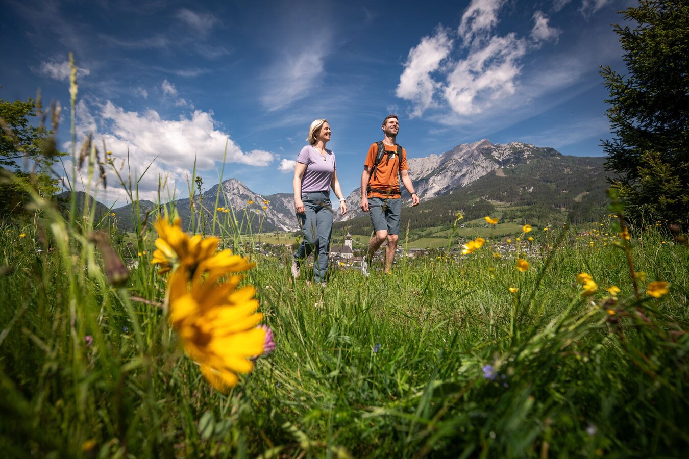
Hiking on the Saurücken Runde | © Tourismusverband Schladming-Dachstein | Christoph Huber
1/3
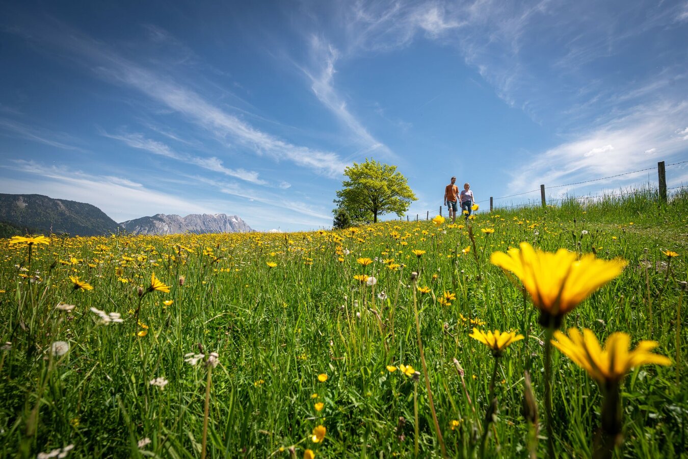
Hike on the Saurücken Runde | © Tourismusverband Schladming-Dachstein | Christoph Huber
2/3
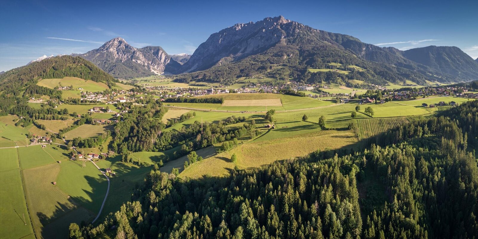
Saurücken Runde G8
3/3

What the weather will be like Gröbming (804m)
Today, 23.10.2026
The day starts sunny, but will be partly cloudy in the afternoon.Morning

1°C
sr.Regenwahrscheinlichkeit
0%
sr.Windstärke
5 km/h
Noon

10°C
sr.Regenwahrscheinlichkeit
0%
sr.Windstärke
5 km/h
Night
5°C
sr.Regenwahrscheinlichkeit
5%
sr.Windstärke
0 km/h
Tomorrow, 24.10.2026
Rainfall will end around noon, then the clouds will break up.Morning

3°C
sr.Regenwahrscheinlichkeit
85%
sr.Windstärke
5 km/h
Noon

6°C
sr.Regenwahrscheinlichkeit
75%
sr.Windstärke
5 km/h
Night
3°C
sr.Regenwahrscheinlichkeit
40%
sr.Windstärke
0 km/h
Forecast
25.10.2026
-2°C
9°C
26.10.2026

1°C
12°C
27.10.2026
0°C
14°C
