
3. Stage: Path of the 100.000 steps, Nechnitz - Sommeralm
This hike around the "Passailer Kessel" is an idea of the Kath. Männerbewegung Passail and was also planned and implemented by them. The six sections are designed in such a way that after each day's stage there is an opportunity to stop for a break or overnight stay. The stages run mainly along designated Alpine Club paths and were also marked with their own signposts. The small boards represent the colours of the hiked communities Fladnitz an der Teichalm (gold), Passail (blue) and St. Kathrein am Offenegg (red).
The trail starts in Arzberg, leads up to the Schöckl and on to the Rechberg. From there it goes via the Nechnitz up to the Teichalm, via the Osser up to the Sommeralm and via the Brandlucken to St. Kathrein am Offenegg. The last two stages then lead over the Patscha down into the Weizklamm gorge before returning to Arzberg via the Gösser and Große Raabklamm gorges.
The 3rd stage starts right away with the "Wood Sculpture Trail" on Nechnitz, then it goes gently up to the Teichalm. The highlight is the Ossergipfel with its magnificent view over the alpine pastures.
Characteristics
Best season
The tour in numbers
Map & downloads
More information
- The hike starts on the Nechnitz, at the Haider inn, right at the entrance to the inn the "Holzskulpturenweg" (wood sculpture trail) leads steeply up to the Gschaid-Nock.
- After the end of the "wood sculpture path", there is a small stretch of path leading all the way up to the summit cross of the Gschaid-Nock or Gschaidberg.
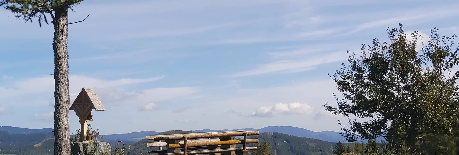
- The magnificent view at the summit should definitely be enjoyed, a board explains the mountain world around it- with a view of the "Rote Wand", the trail continues in a westerly direction over the Wildkogel to the "Gerlerkreuz" and on to the Angerwirt Inn on the Teichalm (trail no. 2 and then trail no. 740), you can stop off at the Gerler Hut on the way.
- At the Angerwirt inn, cross the main road and continue right into the meadow (trail no. 45).
- After a steep ascent through the forest, you reach the highest point of the tour, the Osser summit (1,548 hm), from here you have a beautiful view back to the Teichalmsee.
- From the Osser summit the path leads steeply down to the "Schwoabauern-Kreuz", which can be seen from far away.
- At the bottom left is the GH Holzmeister directly on the Sommeralmstraße, the last few metres down you take trail no. 754.
The figures of the wooden sculpture path were carved with a chainsaw by the farmer and innkeeper Erich Haider-Harrer, who also created this path.
Timetables and travel information can be found at the Austrian Federal Railways (ÖBB) or at Verbundlinie Transport Information. For local transport we recommend the SAM shared taxi East Styria.
SAM stop: WZ3228 Sommeralm - Holzmeister
All information about the region, the places to stop and stay overnight and the excursion destinations can be found at
Eastern Styria Tourist Board
Naturpark Almenland Office
Fladnitz 100
8163 Fladnitz an der Teichalm
T: +43 3179 23000
www.almenland.at | www.oststeiermark.com
Current weather
Mobility Eastern Styria with shared taxi SAM
Find out about maps, hiking brochures and other tour tips at the tourist office. You can also order information material on our website from the comfort of your own home.


