


Admonter Reichenstein
Characteristics
SkillThe tour in numbers
Level of difficulty
challenging
Route
7,7 km
Time
5:00 h
Uphill
760 hm
Downhill
760 hm
Highest point
2234 m
Demanding mountain tour with easy climbing (II), only for the absolutely sure-footed! According to the trail sign, the ascent is described as a via ferrata without belays. RECOMMENDATION: This tour should be done with a mountain guide!
Challenging mountain tour with easy climbing, only for the absolutely sure-footed! Accompaniment by a state-certified mountain guide is recommended.
According to the trail sign, the ascent is described as a via ferrata without safety devices. Up to the memorial cross on a path, then through scree to the key point (Herzmann-Kupfer-Platte); the ascent is only marked again after the key point.
Best season
January
February
March
April
May
June
July
August
September
October
November
December
More information
B 146 Gesäusebundesstraße junction Johnsbach, 5 km to GH Donner in Johnsbach
next to GH Donner in Johnsbach
next to GH Donner in Johnsbach
We begin the tour with an easy 2-hour hike from Johnsbach to the Mödlinger Hut. Depending on the time of day, it's worth stopping here for breakfast or a snack. If it's already late, it's better to spend the night at the Mödlinger Hut and start the most challenging hiking route in the Gesäuse well-rested the next morning.
From the Mödlinger Hut, we follow a forest trail past Treffner Lake to the Heldenkreuz (Hero’s Cross), which takes about an hour. Here we enjoy the magnificent view of the Johnsbach Valley and the Gesäuse mountains one last time. The hiking trail ends here, and the path now climbs more steeply toward the Pfarrmauer, reaching a spring at 1880 meters.
We then traverse westward to a memorial cross. This is followed by a long traverse across rocky terrain on the southern side of the Totenköpfl. After the third rock rib, we reach a shoulder. Now comes the key section: below a large overhanging rock head, we climb diagonally down across a slab. Next is a ravine, followed by a 4-meter-high crack (grade II).
At the vertical summit wall, we turn left again and pass a sinkhole, then cross scree to reach the summit of the Admonter Reichenstein.
Sturdy hiking boots or good trekking shoes
Hiking backpack
Water bottle
First aid kit including blister plasters
Hiking map and smartphone
Snacks
Sunglasses
Sunscreen
You should also be well prepared for changeable weather.
Packing your backpack correctly makes things much easier:
Pack heavy items first. Your water bottle should always be easily accessible in a side pocket. Everything you need frequently, such as sunglasses, your smartphone, or hiking map, should be packed on top.
Hiking backpack
Water bottle
First aid kit including blister plasters
Hiking map and smartphone
Snacks
Sunglasses
Sunscreen
You should also be well prepared for changeable weather.
Packing your backpack correctly makes things much easier:
Pack heavy items first. Your water bottle should always be easily accessible in a side pocket. Everything you need frequently, such as sunglasses, your smartphone, or hiking map, should be packed on top.
Alternative to the ascent: via toll road from Gaishorn, then it is only a 20-minute walk to the Mödlingerhütte.
Rufbus Linie 917 Admont - Johnsbach, Fahrplan unter www.busbahnbim.at
With the Verbundlinie BusBahnBim app, finding timetable information has never been easier: all bus, train, and tram connections in Austria can be searched for by entering locations and/or addresses, stops, or important points. The app is available as a free app for smartphones (Android, iOS) on Google Play and in the App Store.
In the Gesäuse you are mobile in summer even without your own car. One call to t: +43 3613 2100099 is all it takes: During operating hours, the Gesäuse shared taxi will take you to any destination in the Gesäuse - without any timetable or stops. Www.gesaeuse.at/mobil
With the Verbundlinie BusBahnBim app, finding timetable information has never been easier: all bus, train, and tram connections in Austria can be searched for by entering locations and/or addresses, stops, or important points. The app is available as a free app for smartphones (Android, iOS) on Google Play and in the App Store.
In the Gesäuse you are mobile in summer even without your own car. One call to t: +43 3613 2100099 is all it takes: During operating hours, the Gesäuse shared taxi will take you to any destination in the Gesäuse - without any timetable or stops. Www.gesaeuse.at/mobil
Map & downloads
Gallery
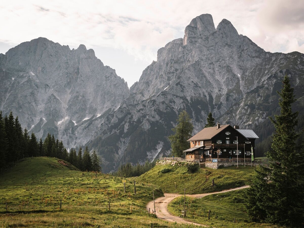
Mödlingerhütte mit Reichenstein | © Gesäuse - Admont
1/4
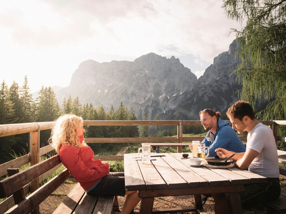
Gemütliche Hütteneinkehr auf der Mödlingerhütte | © Gesäuse - Admont | Dietmar Cupak
2/4
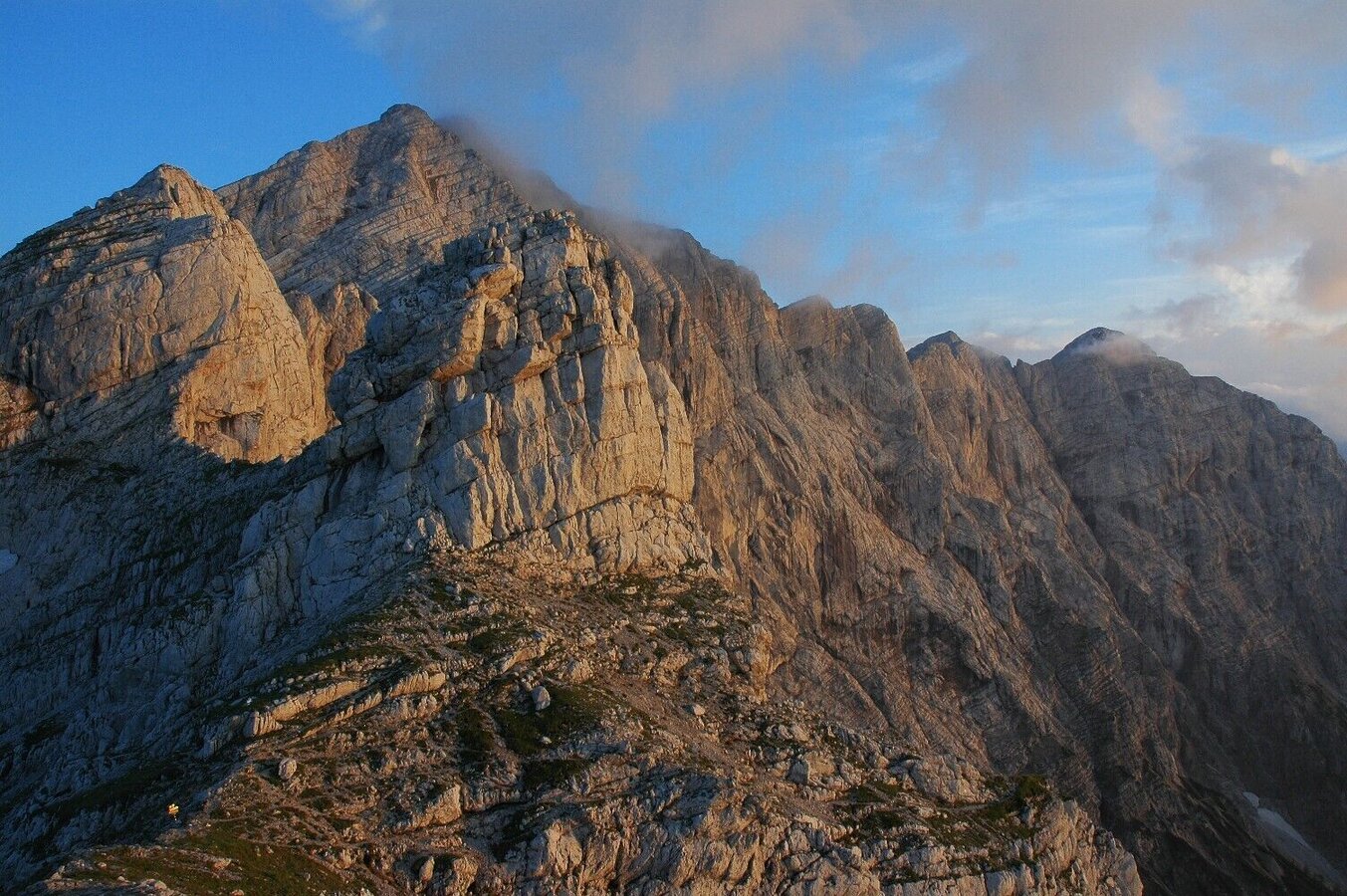
admonter reichenstein_img_1258438 | © Gesäuse - Admont
3/4
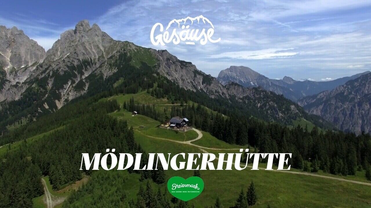
Hütten im Gesäuse | Mödlinger Hütte | © Tourismusverband Gesäuse
4/4

What the weather will be like Admont (635m)
Today, 06.10.2026
Dry and sunny throughout the day with hardly any clouds.Morning

7°C
sr.Regenwahrscheinlichkeit
0%
sr.Windstärke
0 km/h
Noon
20°C
sr.Regenwahrscheinlichkeit
0%
sr.Windstärke
5 km/h
Night
11°C
sr.Regenwahrscheinlichkeit
0%
sr.Windstärke
5 km/h
Tomorrow, 07.10.2026
Dry and sunny throughout the day with hardly any clouds.Morning
5°C
sr.Regenwahrscheinlichkeit
0%
sr.Windstärke
0 km/h
Noon
19°C
sr.Regenwahrscheinlichkeit
0%
sr.Windstärke
5 km/h
Night
13°C
sr.Regenwahrscheinlichkeit
0%
sr.Windstärke
0 km/h
Forecast
08.10.2026

7°C
17°C
09.10.2026

6°C
14°C
10.10.2026
6°C
16°C
