


Oswalder Round Trail
Characteristics
SkillThe tour in numbers
Level of difficulty
medium
Route
17,8 km
Time
6:00 h
Uphill
780 hm
Downhill
780 hm
Highest point
1500 m
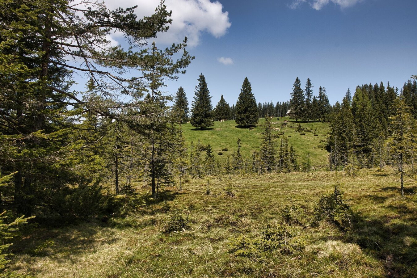
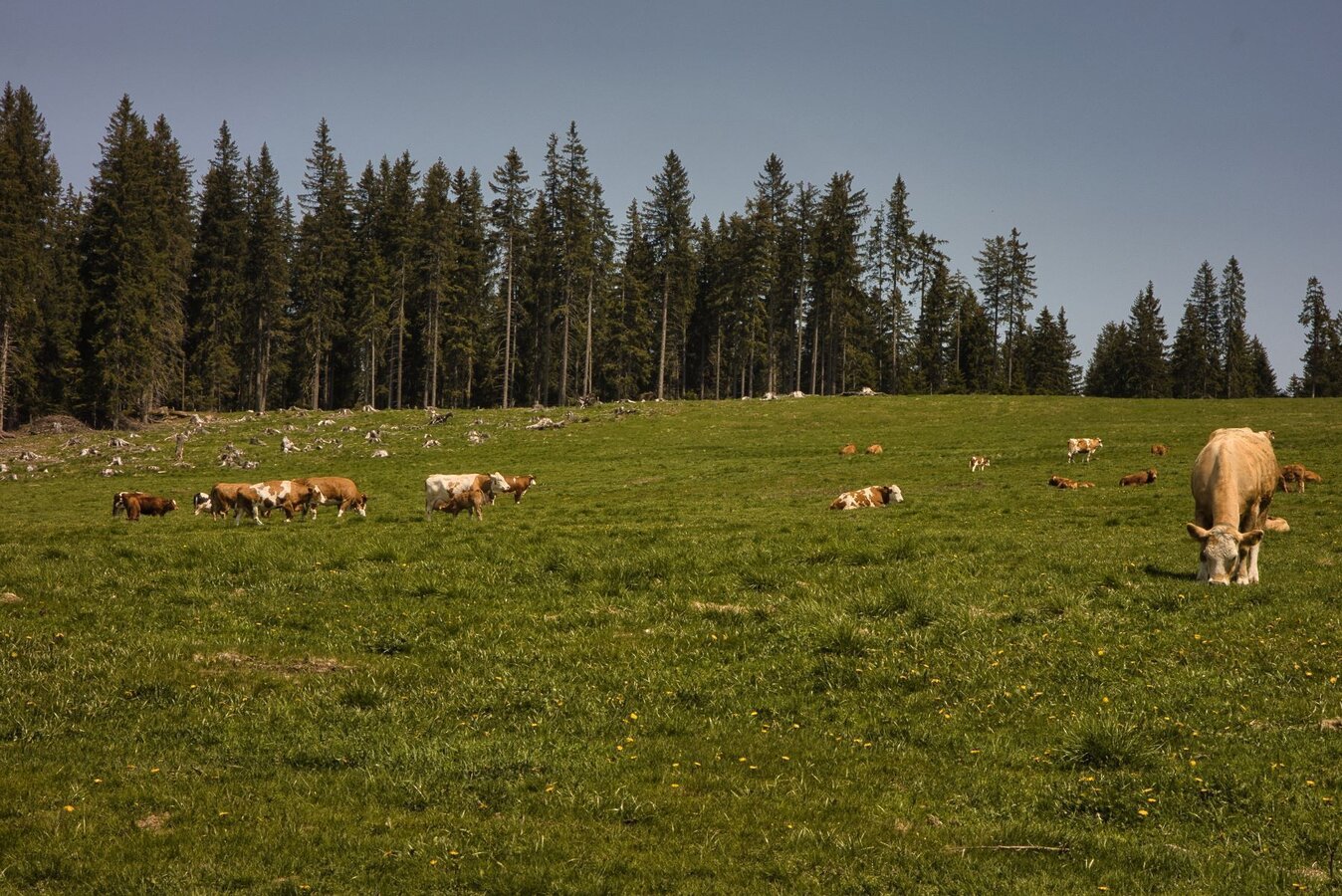
This alpine hike is a true nature experience; along the way, you’ll not only enjoy the lush green landscape but also the crisp mountain air that blows gently around you. At the lookout points, you can let your gaze wander over the rolling hills and forests. Of course, you’ll encounter the laid-back cows grazing peacefully on the alpine pastures, who seem to appreciate the panoramic view just as much as you do.
You start at the church, from where we walk a short distance along Trail No. 568. Then we turn left onto Trail No. 1 (a short steep section) and, at the fork, turn right and continue along Trail No. 1. After about 3.3 km, we reach the forest road that circles the Freiländer Alm. Follow the hiking trail to the Freiländer Alm hut. (After about 200 m on the forest road, a 20-minute detour to the 1,550-meter-high Schwarzkogel is possible. There is a trail, but it is not marked.) We then take Nature Friends Trail No. 551 to the Rehbockhütte and follow the Hebalmstraße for a short distance toward Carinthia. We then turn left onto trail No. 551 and follow it to the Stoffhütte. From the Stoffhütte, we walk along the Naturfreundeweg 568 B until we reach a weekend cottage on the right (Caution: grazing livestock—be careful with dogs!).
About 200 m past the weekend cottage, we turn right downhill (here we have reached the lowest point (approx. 900 m) of the trail) and follow the path toward St. Oswald until we reach the Pöschl Bridge. Now we head uphill again, first along the paved road, and turn left at the Blosi farmstead onto Trail No. 2, which we follow to Hebalmstraße. Now we walk a short distance along Hebalmstraße to the right until we reach the Marxbauer Chapel after 1.2 km. Here we turn slightly left and take trail no. 3 back to the starting point. A wonderful day hike through the alpine pastures where the climb is well worth it!
About 200 m past the weekend cottage, we turn right downhill (here we have reached the lowest point (approx. 900 m) of the trail) and follow the path toward St. Oswald until we reach the Pöschl Bridge. Now we head uphill again, first along the paved road, and turn left at the Blosi farmstead onto Trail No. 2, which we follow to Hebalmstraße. Now we walk a short distance along Hebalmstraße to the right until we reach the Marxbauer Chapel after 1.2 km. Here we turn slightly left and take trail no. 3 back to the starting point. A wonderful day hike through the alpine pastures where the climb is well worth it!
Best season
January
February
March
April
May
June
July
August
September
October
November
December
More information
Coming from Graz via the A9, take the A2 toward Klagenfurt at the Graz-West interchange. Take the Lieboch exit and follow the B76 toward Lannach-Deutschlandsberg. Continue on the L606 to St. Oswald in Freiland.
Wir starten bei der Kirche, von der wir ein kurzes Stück am Weg Nr. 568 entlanggehen. Dann folgen wir links dem Weg Nr. 1 (kurzes Steilstück) und gehen dann bei der Abzweigung Gasthaus Moser rechts immer am Weg Nr. 1 entlang. Nach ca. 3,3 km erreichen wir die Forststraße rund um die Freiländer Alm. Dort gehen wir links die Forststraße entlang, biegen nach ca. 700 m rechts ab und folgen dem Wanderweg (dieser kann nach starkem Regenfall sumpfig sein) bis zur Freiländer-Alm-Hütte. (Nach ca. 200 m auf der Forststraße wäre ein 20-minütiger Abstecher auf den 1550 m hohen Schwarzkogel möglich. Es ist ein Steig vorhanden, dieser ist aber nicht markiert.)
Danach gehen wir über den Naturfreundeweg Nr. 551 zur Rehbockhütte und folgen ein kurzes Stück der Hebalmstraße in Richtung Kärnten. Wir biegen dann links in den Weg Nr. 551 ein und folgen diesem bis zur Stoffhütte. Ab der Stoffhütte gehen wir entlang des Naturfreundewegs 568 B, bis wir rechts ein Wochenendhaus erreichen (Achtung Weidevieh: Vorsicht mit Hunden!).
Ca. 200 m nach dem Wochenendhaus biegen wir rechts hinunter ab (hier haben wir den tiefsten Punkt (ca. 900 m) des Wanderweges erreicht) und gehen entlang des Weges in Richtung St. Oswald bis zur Pöschlbrücke.
Nun gehen wir wieder bergauf, zuerst der Asphaltstraße entlang, und biegen beim Gehöft vlg. Blosi links in den Weg Nr. 2 ein, welchen wir bis zur Hebalmstraße folgen. Jetzt gehen wir rechts ein Stück der Hebalmstraße entlang, bis wir nach 1,2 km zur Marxbauer-Kapelle kommen. Hier biegen wir halblinks ab und gehen über den Weg Nr. 3 bis zum Ausgangspunkt zurück.
The parish church of St. Oswald in Freiland was first mentioned in a document in 1434; take a look inside.
Many starting points for our hikes in southern Styria can also be reached by public transport.
For a relaxed and sustainable journey, we recommend travelling by bus and train wherever possible. Depending on the region, additional local transport options are available.
This allows you to start your tour stress-free while also contributing to climate and nature conservation.
All information on public transport,
local mobility services and timetables can be found at: www.suedsteiermark.com/arrival
The nearest railway station is in Deutschlandsberg.
Parking available in St. Oswald in Freiland.
Information office:
South Styria Tourist Association, Tel.: +43 (5) 7730, 8530 Deutschlandsberg, Hauptplatz 40
Map & downloads
Gallery
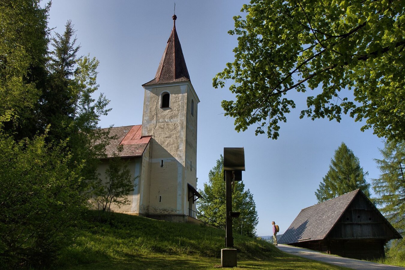
oswalder rundweg– tour 52 lt. wk „von der alm zum wein“_img_86733572 | © TV Südsteiermark - WEGES | WEGES
1/8
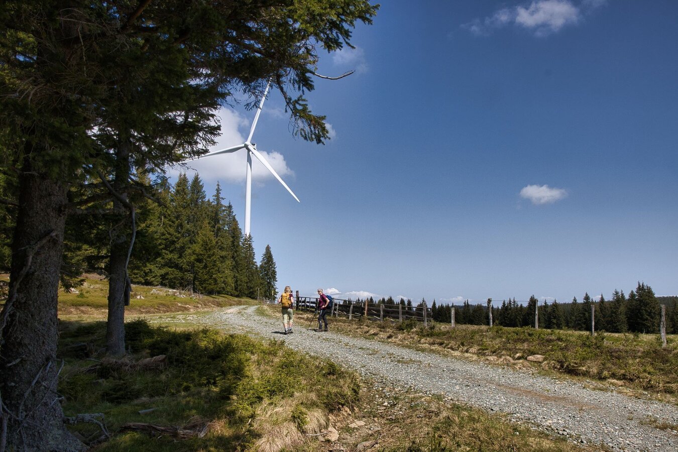
Aussicht Windräder | © TV Südsteiermark - WEGES | WEGES
2/8
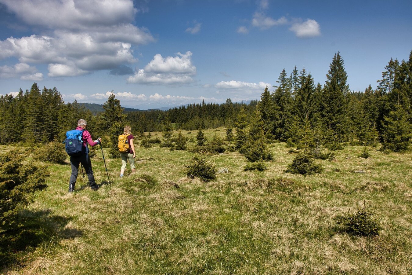
Landschaft | © TV Südsteiermark - WEGES | WEGES
3/8
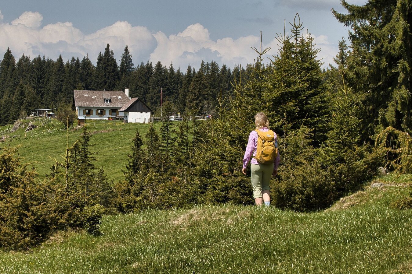
Aussicht am Weg | © TV Südsteiermark - WEGES | WEGES
4/8
oswalder rundweg– tour 52 lt. wk „von der alm zum wein“_img_86733578 | © TV Südsteiermark - WEGES | WEGES
5/8
oswalder rundweg– tour 52 lt. wk „von der alm zum wein“_img_86733579 | © TVSüdsteiermark/WEGES | WEGES
6/8
oswalder rundweg– tour 52 lt. wk „von der alm zum wein“_img_86733580 | © TV Südsteiermark - WEGES | WEGES
7/8
oswalder rundweg– tour 52 lt. wk „von der alm zum wein“_img_86733581 | © TV Südsteiermark - WEGES | WEGES
8/8
What the weather will be like Eibiswald (382m)
Today, 28.07.2026
Some clouds in the morning, lateron much sunshine and hardly any cloudsMorning

20°C
sr.Regenwahrscheinlichkeit
55%
sr.Windstärke
0 km/h
Noon

27°C
sr.Regenwahrscheinlichkeit
5%
sr.Windstärke
5 km/h
Night
26°C
sr.Regenwahrscheinlichkeit
5%
sr.Windstärke
5 km/h
Tomorrow, 29.07.2026
Dry and bright with plenty of sunshine, clouds will be rare.Morning
20°C
sr.Regenwahrscheinlichkeit
0%
sr.Windstärke
5 km/h
Noon
31°C
sr.Regenwahrscheinlichkeit
0%
sr.Windstärke
10 km/h
Night

27°C
sr.Regenwahrscheinlichkeit
5%
sr.Windstärke
5 km/h
Forecast
30.07.2026
17°C
34°C
31.07.2026
18°C
36°C
01.08.2026
18°C
34°C
