


Stage 7: Way of St. James Western Styria
Characteristics
SkillThe tour in numbers
Level of difficulty
medium
Route
17,7 km
Time
6:00 h
Uphill
204 hm
Downhill
1078 hm
Highest point
2043 m
The Way of St. James in Western Styria was opened on 25 July 2010 and is divided into eight stages. These were chosen so that they are manageable for average hikers. Overnight accommodation is available at the end of each stage. Particularly athletic pilgrims will probably manage a larger daily workload; in the event of bad weather or sightseeing, the mileage will be less. For the most part, the trail leads along existing hiking and pilgrimage routes and partly along asphalted municipal and provincial roads.
The Lipizzanerheimat region, through which the West Styrian Way of St. James passes to a large extent, is an irresistible encounter with tradition and modernity, rural lifestyle and diverse folk culture. Unmistakable and rich in experience, we can enjoy the unique interplay of scenic features. Along gentle hilly landscapes, in the middle of green alpine meadows or high up on the Koralpe, we can harmonise our senses without everyday stress and noise. Honest cordiality and tangible hospitality are the special features of this unique journey of discovery of a somewhat different kind.
Best season
January
February
March
April
May
June
July
August
September
October
November
December
More information
This stage takes us along the border of Styria and Carinthia. Behind the refuge we find trail 505, which we follow for another 1.3km. At the large stone, this divides into different directions. We keep to the right on trail 560 in the direction of Jauksattel and walk downhill across pastures and meadows - crossing a gravel road - until we reach the pilgrims' cross Jauksattel past the "Luckerten Felsen". From the Jauksattel area to the Dreieckhütte hut, pay particular attention to the trail markings! Passing the pilgrims' cross on the left, we descend slightly uphill to the side of the Kleinalpl via the Kleinschneiderkogel and Handhab as well as the Dreieckkogel to the Dreieckhütte at 1,452m. In clear weather conditions, we can view southern and western Styria ahead of us. Unfortunately, the Dreieckhütte is only open until around 10 September. It is therefore advisable to take enough drinks and provisions for this stage.
From the Dreieckhütte we head south on trail 560. It is still about 2 hours to Soboth. We follow the Jakobsweg signs and walk past the Loining hunting lodge on beautiful forest paths to the Lindner inn. After about 10 minutes we cross the B69 and see the wooded mountain village of Soboth with the local church of St. Jakob and the Jakobihaus. We have finally reached our destination for today's stage. The Slovenian part of the Way of St. James also ends in Soboth.
Sturdy and comfortable footwear required (e.g. gym or hiking shoes). In winter only accessible in good weather. Walk at your own risk!
Rescue: 144
Tip for reporting an emergency - give answers to the six W-questions: What happened? How many injured? Where did the accident happen (possibly GPS coordinates)? Who reported the accident (call-back number)? When did the accident happen? Weather at the accident site?
The Way of St. James in Western Styria is marked with signs (arrow with shell). It is possible to orientate yourself by the red-white-red markings of the Friends of Nature and the Alpine Club. In addition, there are ground markings on asphalt roads. Nevertheless, it is highly recommended to carry a hiking map.
Proper backpack packing makes many things easier: Pack heavy things first. The water bottle should always be within easy reach in a side pocket. All things that are often needed, such as sunglasses, camera or hiking map, belong on top. An emergency kit including blister plasters belongs in every rucksack and it is always advisable to dress according to the "onion system"!
At each stage destination and at each St. James church along the West Styrian Way of St. James, there is a pilgrim's stone that indicates the kilometres still to be walked until the end of the pilgrimage in Santiago de Compostela. At the "Pilgerkastln" along the Way of St. James, we have the opportunity to write down our thoughts and experiences in a book.
Pilgrim stamp sites:
Tourism Association Schilcherland Styria
Hauptplatz 40
A-8530 Deutschlandsberg
Tel +43 3462 7520
Verein zur Förderung der steirischen Jakobswege
Reinhold Waldhaus
Tel. +43 676 3911185
office@jakobsweg-steiermark.at
The themed hiking folder and the district-wide hiking map of Deutschlandsberg can be ordered free of charge online at www.schilcherland.at. ONLINE TOURS APPAll hiking tours can be found online at www.schilcherland.at/bewegung or via APP South & West Styria Tours in their app store.
Map & downloads
Gallery
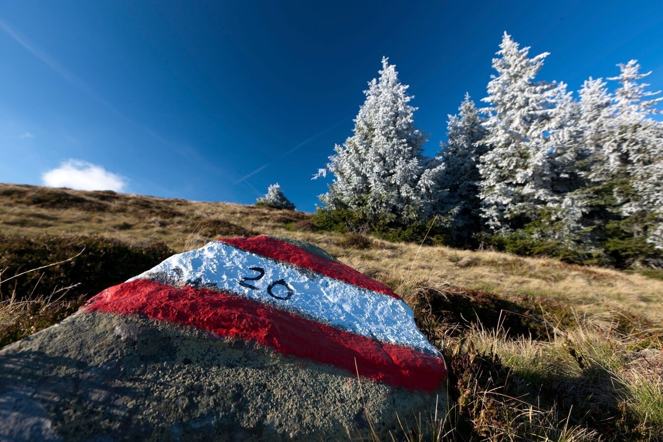
Beste Wanderwegmarkierung | © Steiermark Tourismus | Harry Schiffer
1/7
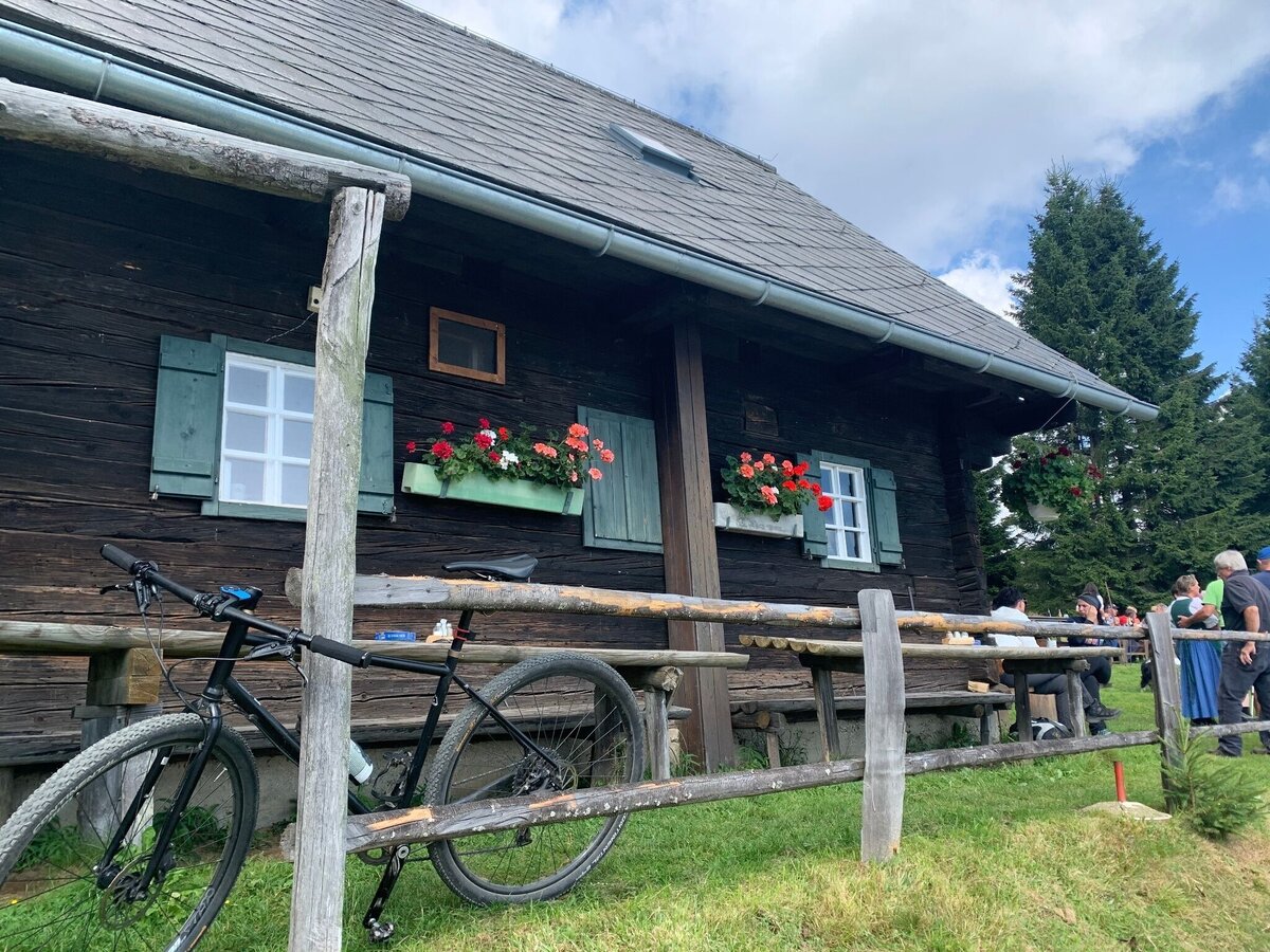
Dreieckhütte | © Schilcherland Steiermark | Bernhard Prangl
2/7
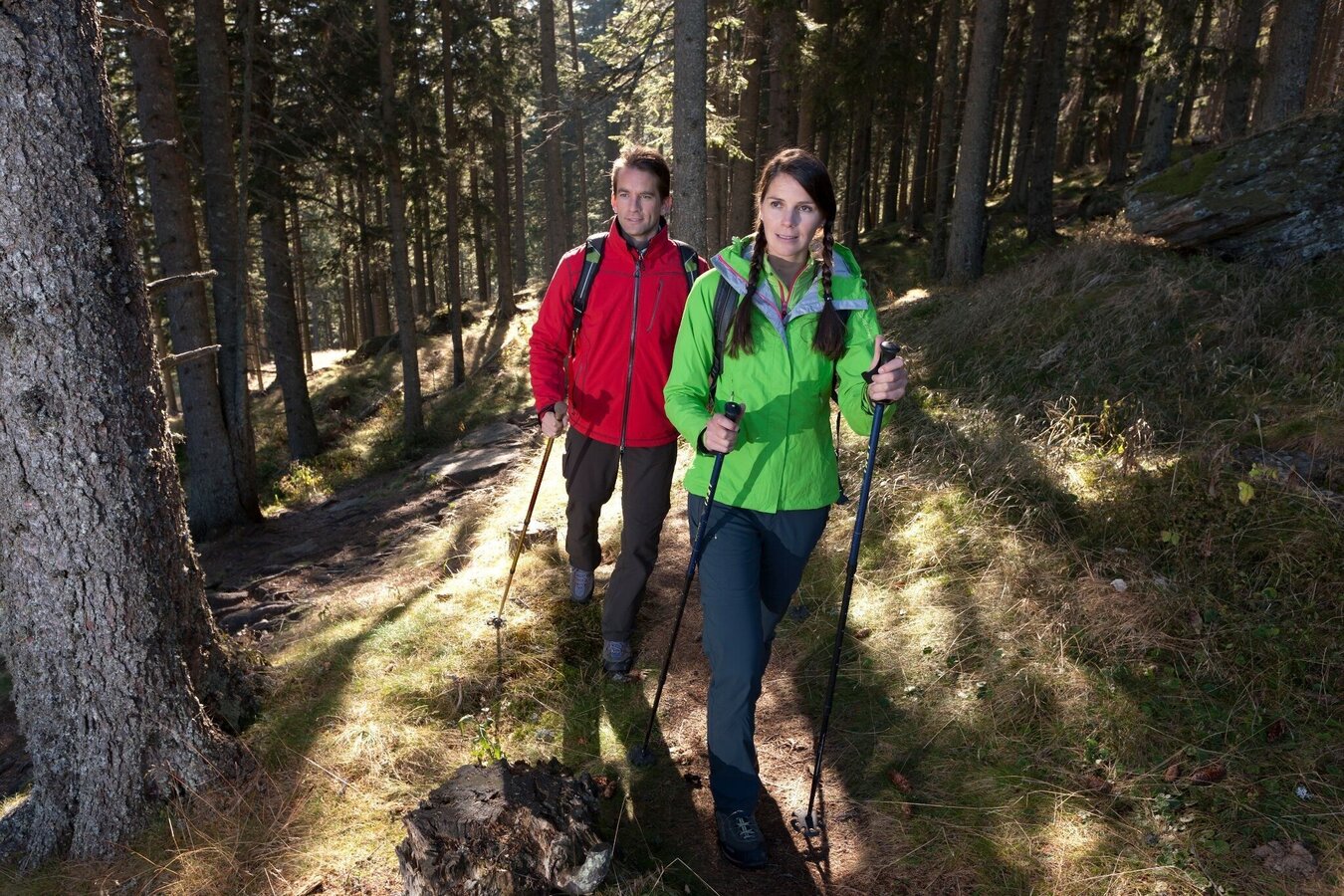
Unterwegs am Jakobsweg | © Steiermark Tourismus/Harry Schiffer
3/7
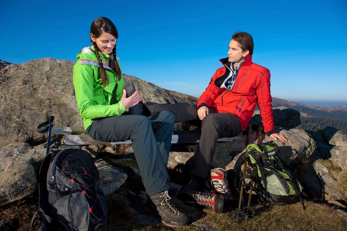
Auch eine Rast muss sein | © Steiermark Tourismus/Harry Schiffer
4/7
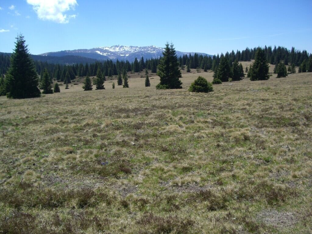
View to the Koralm | © Schilcherland Steiermark | Brigitte Kügerl
5/7
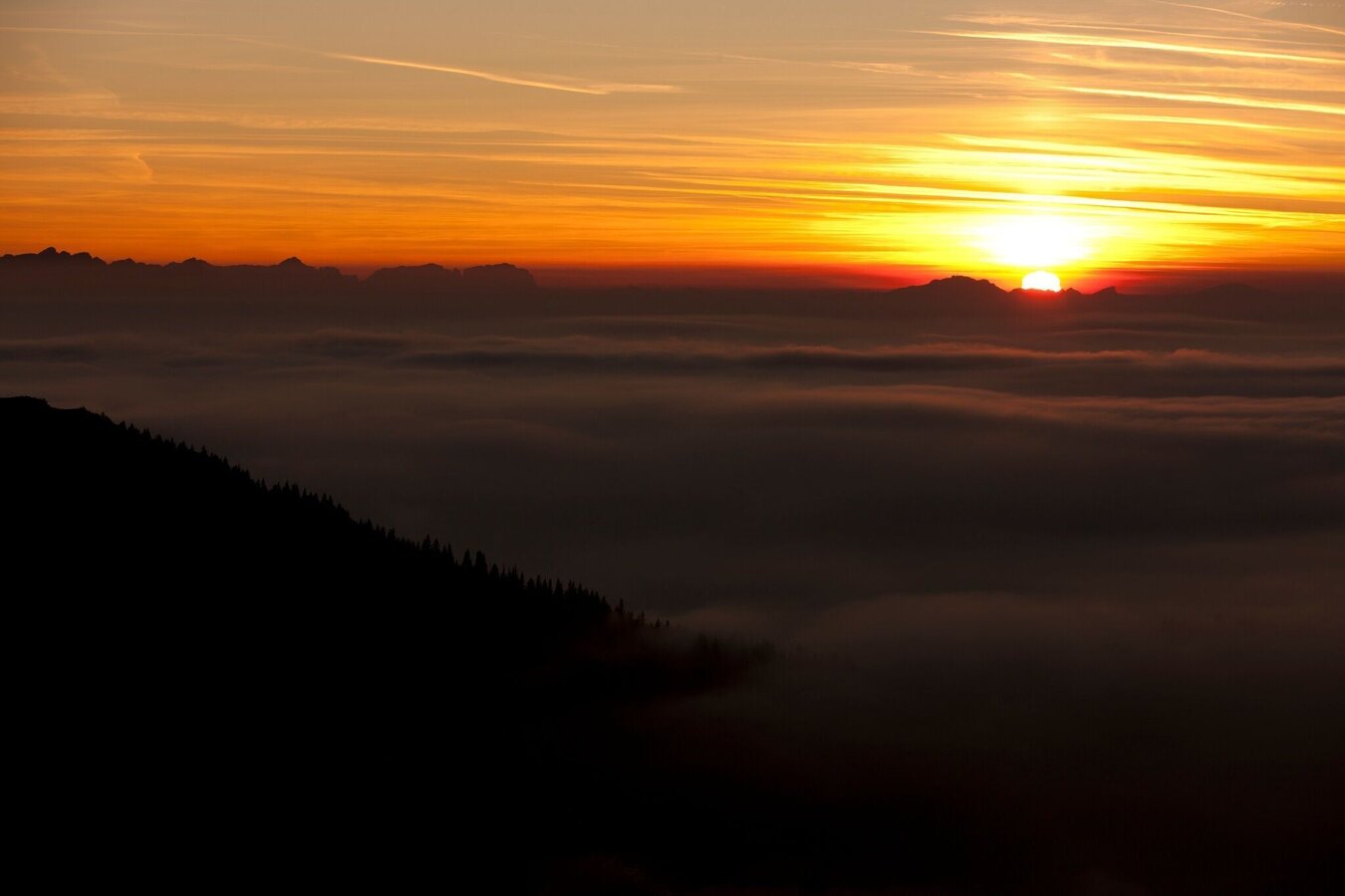
Abendstimmung am Jakobsweg | © Steiermark Tourismus/Harry Schiffer
6/7
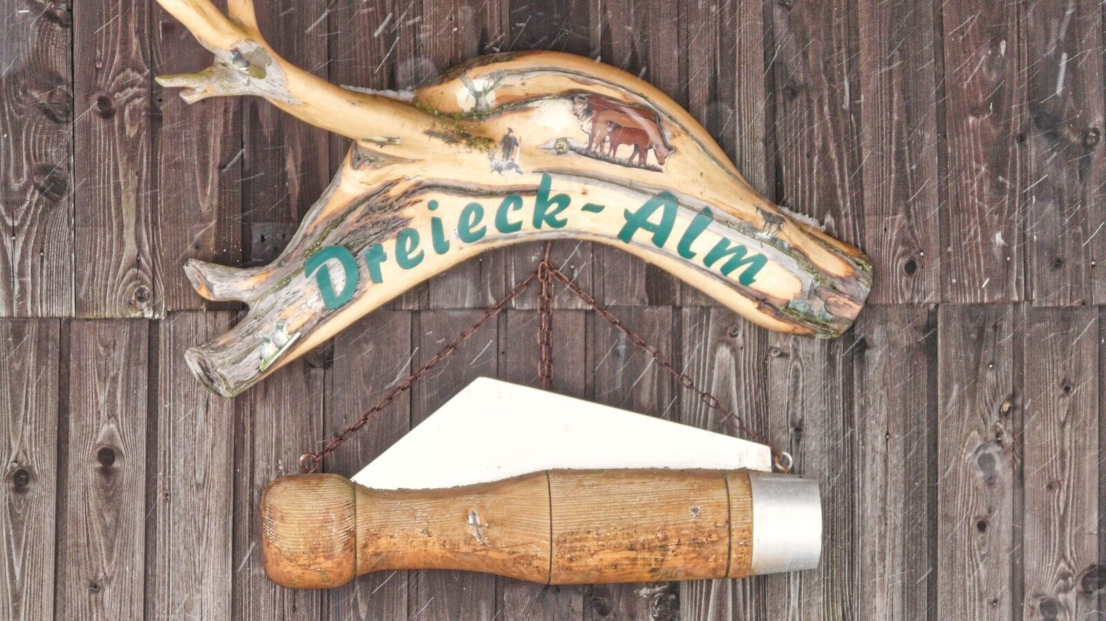
Dreieckhütte | © Weges OG | Weges OG
7/7
