


Themed trail mining
Accessible by public transport- Public bus (within 15 minutes walking distance from starting point)
Characteristics
SkillThe tour in numbers
Level of difficulty
easy
Route
2,5 km
Time
1:30 h
Uphill
30 hm
Downhill
30 hm
Highest point
963 m
“The Informative”: On a circular route, which takes 1 - 1.5 hours, you can learn more about Oberzeiring and the mining industry. Visitors can learn about the past at 14 stations and use QR codes to access additional information on the website. Experience mining up close!
On the road...With respect for wildlife and the environment!
In the Pölstal, special emphasis is placed on the preservation of unspoiled nature. So that the pleasure of the people does not become a problem for wild animals and nature, it requires consideration measures. For the sake of nature and the environment, correct behavior in the mountains is the top priority for the hiking enthusiast.
- Use designated parking areas- Do not block access roads and please observe local driving bans- Observe information boards at trailheads and stick to recommended marked routes- Avoid approaching wildlife.
Best season
January
February
March
April
May
June
July
August
September
October
November
December
More information
Judenburg direction Pöls - Katzling - Oberzeiring
Car park right next to Oberzeiring church
Car park right next to Oberzeiring church
Starting point of the theme trail is the show mine museum Oberzeiring (1st stop: entrance store museum building). From there follow the road towards the Kurhotel. In front of the Kurhotel, turn right uphill to the show mine (2nd stop: Altes Berghaus). From there, turn left along the steps - slightly left - continue up the steps - keep right until you reach the exit of the exhibition mine (3rd stop: mouth hole). Go back the same way until you reach the steps - straight on along the Berghofstraße until you reach the Kump inn - turn right (4th stop: Altes Berggericht). Cross the main road and follow Münzgasse (5th stop: Mint). Continue straight to Kirchplatz (6th stop: Old Town Hall). Continue over the bridge to Bachstraße - then turn left (7th stop: Blahbach) - pass the next bridge - just straight ahead - then follow the Pfleil to the left onto the small path - along the brook to Zugtalstraße - turn left here - then turn right onto Mitterweg (8th stop: Pumpschacht). Continue along Mitterweg until you reach Römerstraße (9th station: Altes Knappenhaus). After the 9th station turn left onto Barbaraweg - follow this until you reach the main road. Cross the road - keeping left (10th station: Taubenkropf Erbstollen) - Follow the main road until you reach Elisabethkirche (11th station: Knappenkirche Elisabeth). Continue on the main street - turn left after the department store (12th stop: Wasserhebewerk) - continue straight on Florianigasse - then turn left on Mitterweg - continue to St. Nicholas Church (13th stop: Nikolauskirche) - then at the inn "Zum Grünen Specht" is the last stop (14th stop: Kegelbahn).
Check your personal condition before every mountain tour and estimate your strength correctly. The length of your tour will depend on this. Plan each tour carefully. Pay close attention to the necessary equipment, sufficient provisions and the local weather forecast.Inform acquaintances about your hiking destination, as well as the planned return time if necessary. Always stay on the marked trails. Always close fences and pasture gates. Watch out for falling rocks and do not kick any rocks yourself. Doing so will endanger other hikers. In case of bad weather, sudden indisposition or other difficulties, do not take risks and turn back in time. Avoid approaching wild animals. - Observe from a distance. Keep dogs on a leash. Use designated parking areas, please do not block access roads, and observe local driving restrictions. Hike: day hiking backpack (approx. 20 liters) with rain cover, sturdy and comfortable footwear, weather-adapted and hard-wearing clothing in multiple layers, telescopic poles if necessary, sun and rain protection, provisions and drinking water, first aid kit, pocket knife, cell phone, headlamp if necessary, maps
Refreshment stops:
Kump Inn
Cafe Strasser
Inn "Zum Grünen Specht
With ÖBB to railroad station Judenburg and bus to Oberzeiring
More information at www.murtal.at/wandern Detailed description available at the show mine museum Oberzeiring and at the tourist office murtal. A detailed description of the trail and further historical information about Oberzeiring can be found in the Oberzeiring show mine and museum.
Map & downloads
Gallery
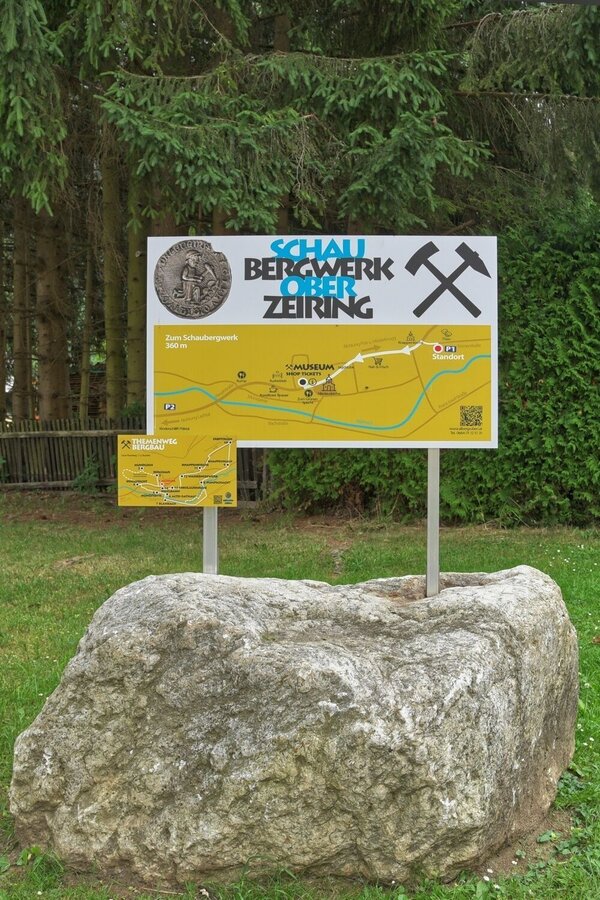
Übersichtstafel | © Erlebnisregion Murtal | Bianca Poier
1/6
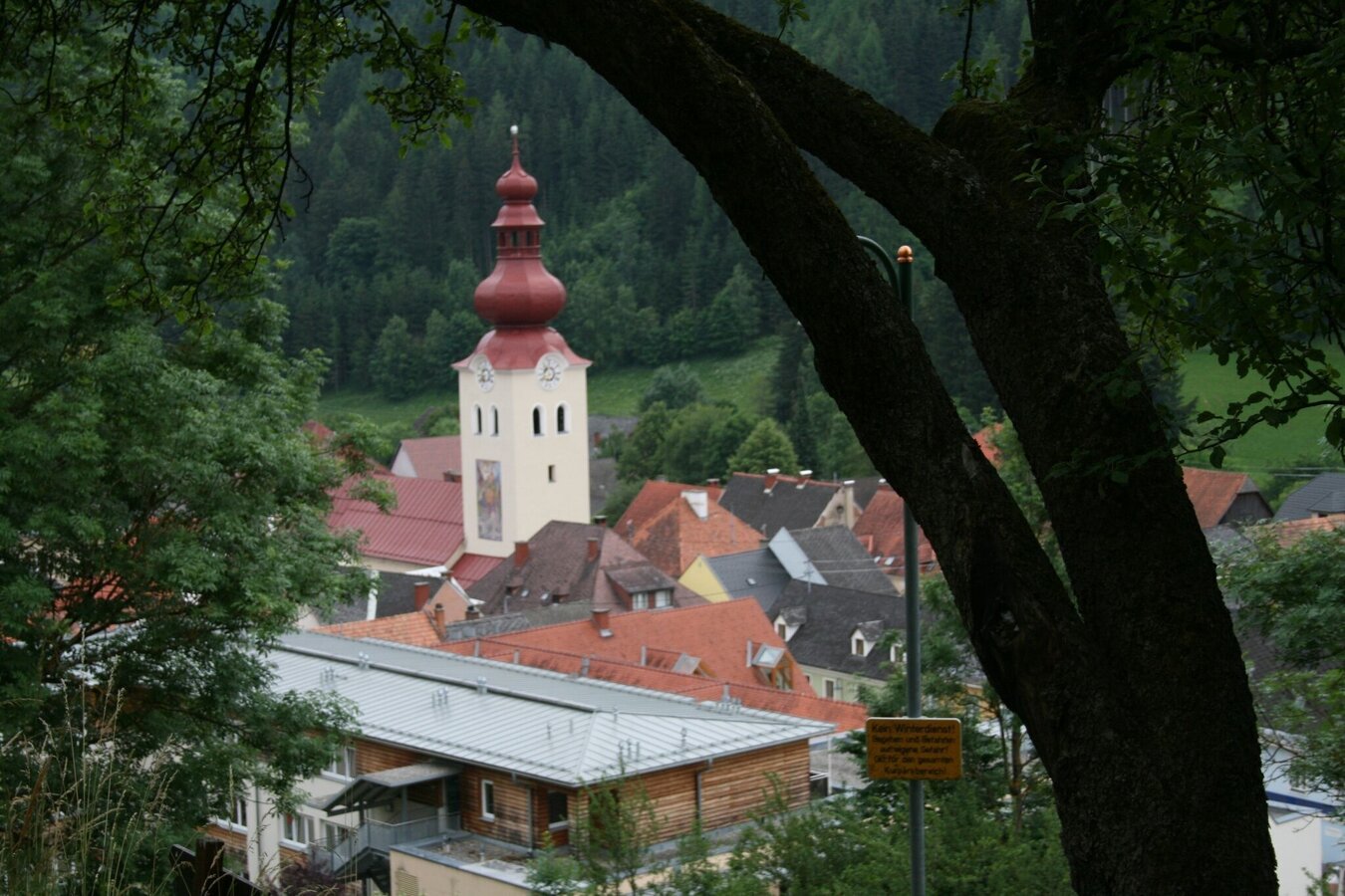
Oberzeiring | © Erlebnisregion Murtal | Bianca Poier
2/6
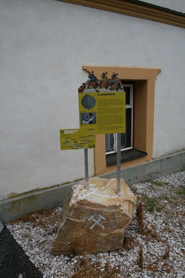
themenweg bergbau_img_63697153 | © Erlebnisregion Murtal | Bianca Poier
3/6

6. Station Altes Rathaus | © Erlebnisregion Murtal | Bianca Poier
4/6
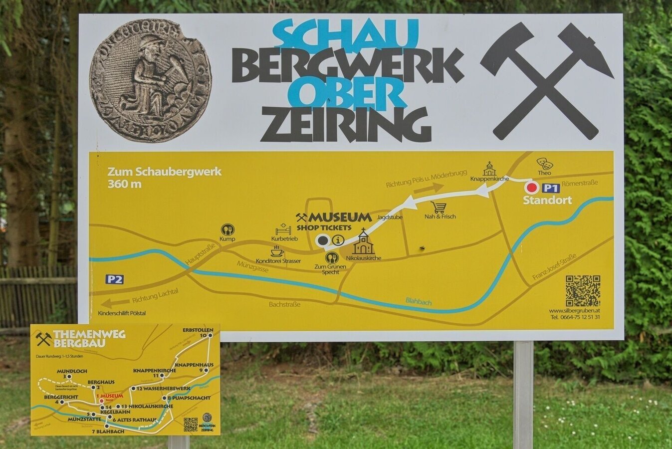
Übersichtstafel | © Erlebnisregion Murtal | Bianca Poier
5/6

Ausgang Schaubwergwerk | © Erlebnisregion Murtal | Bianca Poier
6/6

What the weather will be like Pölstal (918m)
Today, 14.10.2026
Light rain until the early afternoon, then slowly becoming dry.Morning

6°C
sr.Regenwahrscheinlichkeit
95%
sr.Windstärke
5 km/h
Noon
14°C
sr.Regenwahrscheinlichkeit
75%
sr.Windstärke
5 km/h
Night

9°C
sr.Regenwahrscheinlichkeit
50%
sr.Windstärke
5 km/h
Tomorrow, 15.10.2026
Early clouds will gradually clear to leave the region with a dry and sunny day.Morning
5°C
sr.Regenwahrscheinlichkeit
0%
sr.Windstärke
5 km/h
Noon

16°C
sr.Regenwahrscheinlichkeit
0%
sr.Windstärke
5 km/h
Night

10°C
sr.Regenwahrscheinlichkeit
0%
sr.Windstärke
5 km/h
Forecast
16.10.2026
4°C
18°C
17.10.2026
4°C
16°C
18.10.2026
5°C
15°C
