


Starting from Obdach via the adventure hiking trail to the St. Anna viewing platform
Accessible by public transport- Public bus (within 15 minutes walking distance from starting point)
Characteristics
SkillThe tour in numbers
Level of difficulty
medium
Route
13,9 km
Time
4:30 h
Uphill
520 hm
Downhill
520 hm
Highest point
1358 m
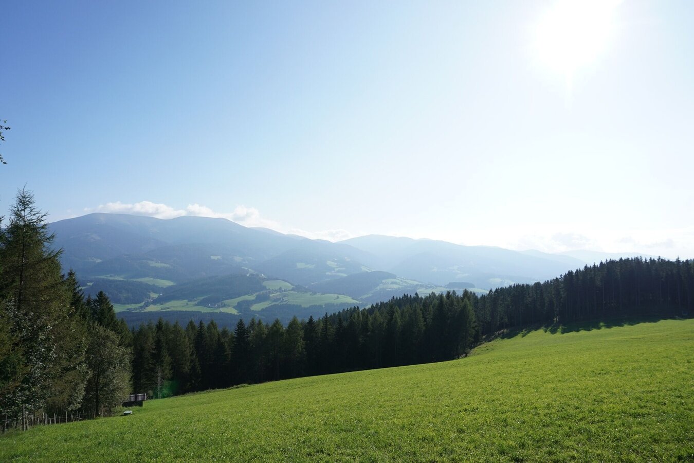
“The Harmonious”: Experience a long, relaxing hike with little elevation gain and enjoy the tranquillity of the forest. The highlight here is the St. Anna viewing platform, which offers a fantastic panoramic view of the region.
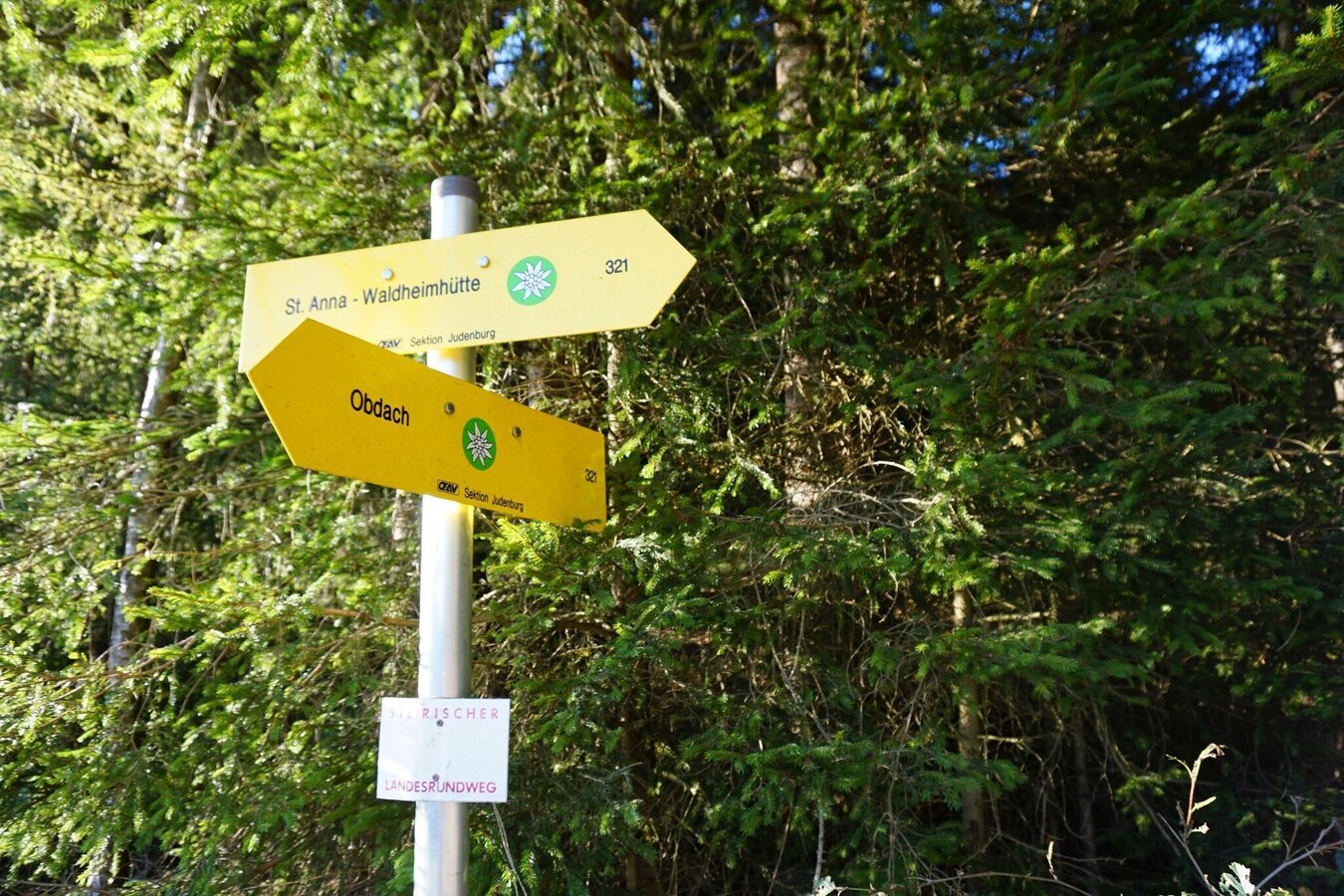
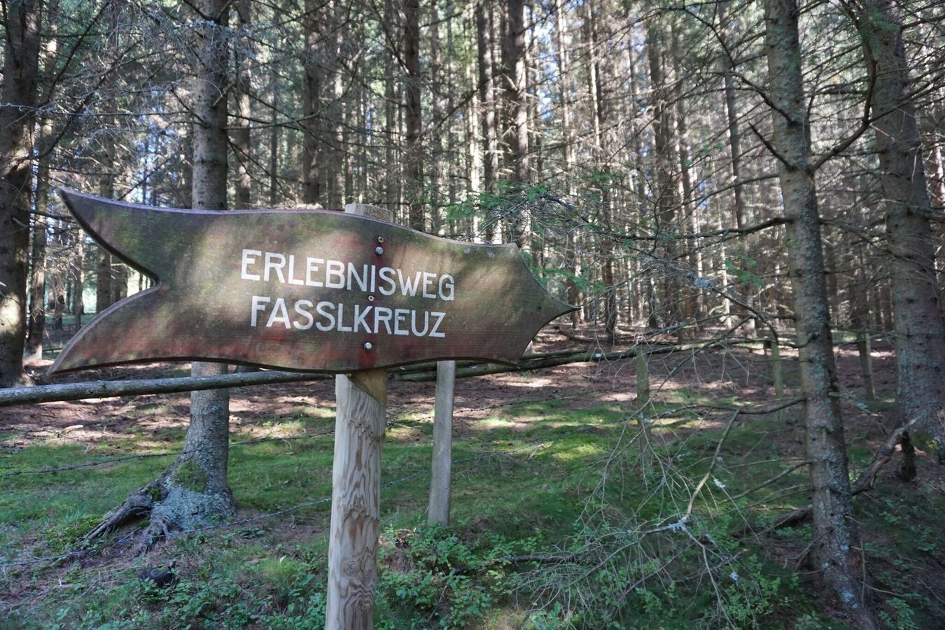
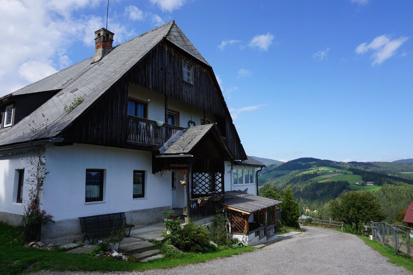
From the village center via St.Anna-Weg-Oberer Siedlungsweg to Liftstraße, along hiking trail 321. On a well-marked road with little traffic to "Kalchbauer". The asphalt road turns into a wide path behind Kalchbauer Haus. Short section over pastureland for cattle. Via forest path and short hollow path to the "Fassl Kreuz".
From here, follow the flat section of the "St. Anna adventure trail". Past the Anna-Wirt-Kreuz. Cross the forest and meadow to reach the Rabensteiner cross in St. Anna.
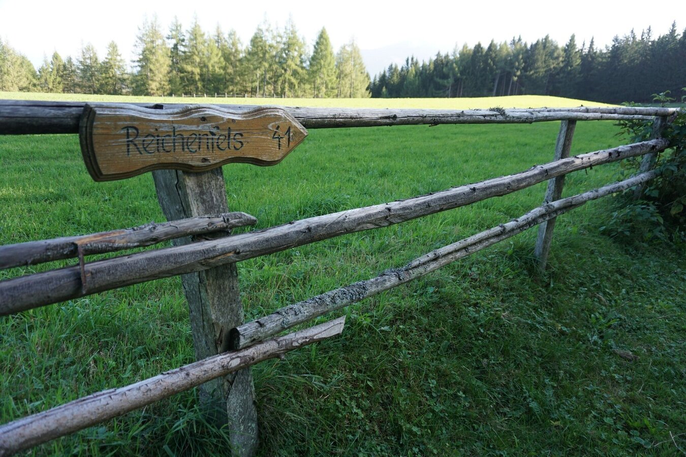
Keep left. Past the church via hiking trail 41 to the St. Anna viewing platform.
Return along the same route back to St. Anna, but past the Rabensteiner cross and only one road later via a hollow path back to the St. Anna adventure hiking trail. At the crossroads, keep right on hiking trail 321 back to the Fassl cross.
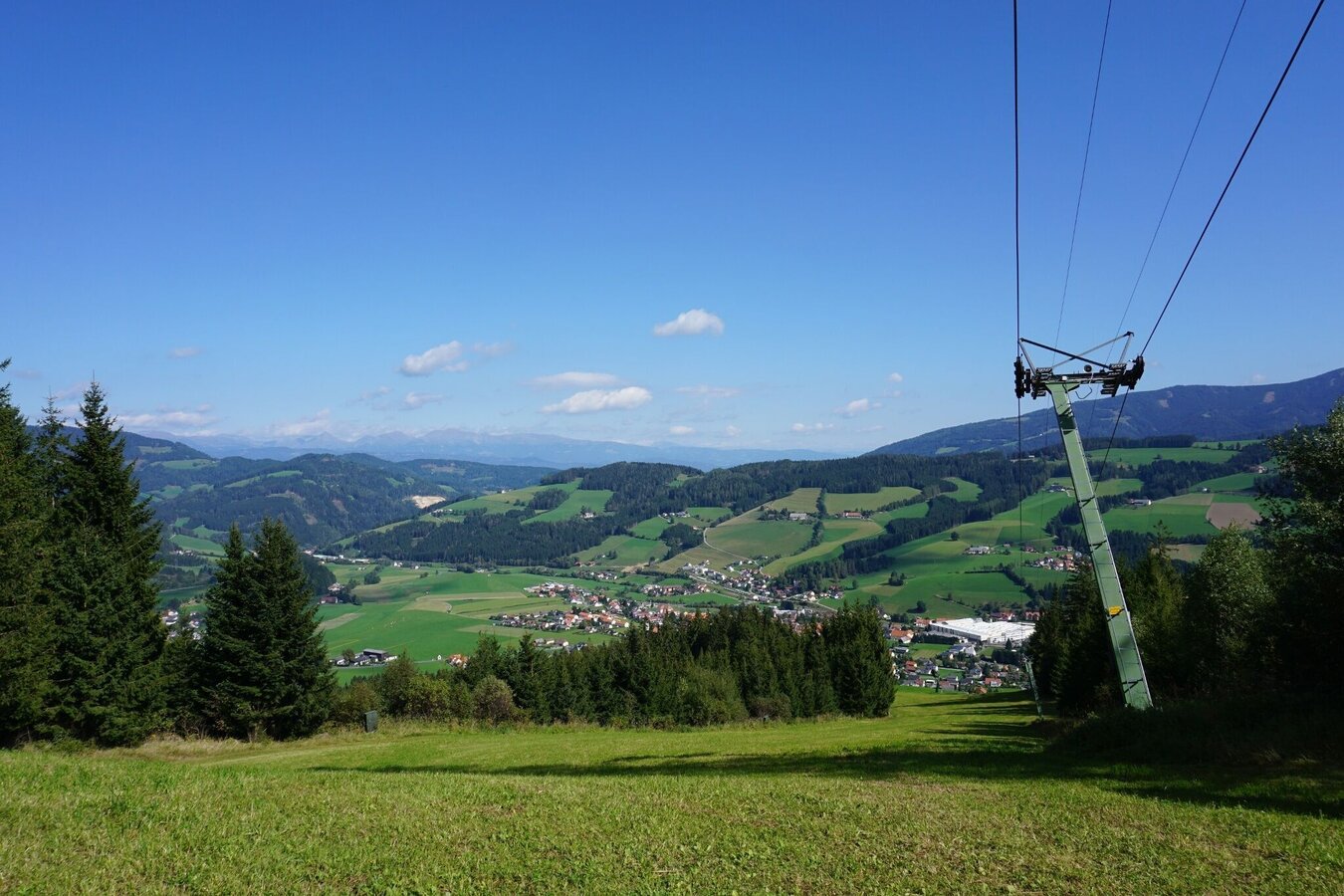
Descend via hiking trail 3 through the forest to the ski lift slope. Short section along the ski slope. Follow the markings on the left to the Donnweg - hiking trail 3 back to Obdach.
Best season
January
February
March
April
May
June
July
August
September
October
November
December
More information
Approach to Obdach via federal road B78
Large parking lot to the right of St. Anna-Weg and at the Obdach bus station.
Large parking lot to the right of St. Anna-Weg and at the Obdach bus station.
Starting point: Mariensäule in the center of Obdach
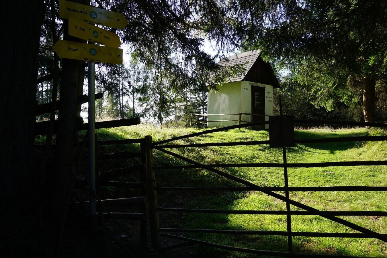
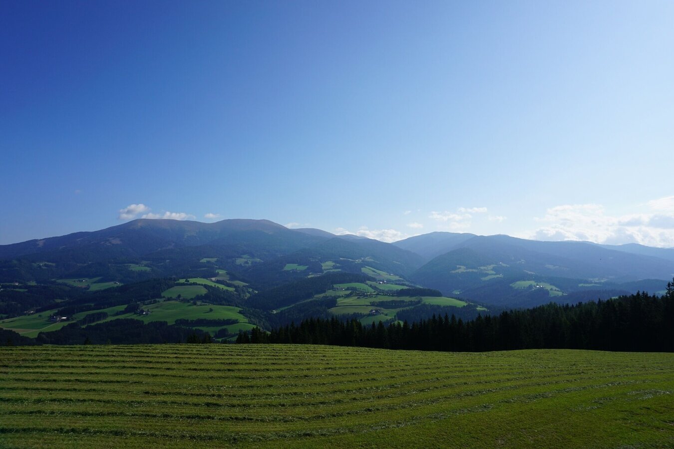
Turn right at Trachtenhaus Neuböck into St. Anna-Weg. Go straight on until the Oberer Siedlungsweg junction, then follow Oberer Siedlungsweg in a left-hand direction until Liftstraße. From here, continue along Liftstraße, always following hiking trail 321. We pass the lower lift station of the Obdach ski lift and follow the little-used asphalt road steadily uphill. The lift road turns into the Kalchbauerweg and the road continues into the forest, where benches invite you to take your first rest. We follow the well-marked path to the "Kalchbauer". Here we keep left, the asphalt road ends here and turns into a wide path. Behind the Kalchbauer house, we continue along the path. We pass a beautifully manicured Matterl and cross a short stretch of cattle pasture. From here you have a fantastic view of the valley. A huge, single Swiss stone pine adorns the meadow of the Kalchbauer pasture. After passing the Kuhgatter again, we continue along the forest path, pass a high seat and reach the "Fassl Kreuz" via a short, narrower hollow path. Benches and a small chapel invite you to rest.
From here, we follow the "St. Anna adventure hiking trail" with its adventure stations in the direction of St. Anna. From Fassl Kreuz, continue along the flatter section of the trail. A fountain trough provides wonderful refreshment and the adventure stations break up the hike. We soon reach the Anna-Wirt-Kreuz. We leave the forest and reach the Stoana meadow. We arrive in St. Anna at the Rabensteiner cross.
Past the church and the former parish, hiking trail 41 continues to the St. Anna viewing platform. Here you only have a few meters of altitude to conquer.
The return route follows the same path back to St. Anna. However, we pass the Rabensteiner cross and only rejoin the St. Anna adventure hiking trail one street later. After a short walk along a hollow path, you reach a crossroads where you keep to the right on hiking trail 321. You return to the Fassl cross via further adventure stations.
The descent is via hiking trail 3, through the forest to the Obdach ski lift slope. We descend a short distance across the meadow of the ski slope. We follow the Donnweg - hiking trail 3 to the left, following the markings.
The rest of the descent follows the gravel path down to Obdach, along the Donnweg back to Obdach. Passing a large cross, we soon return to the asphalt road and pass the Obdach school and a large playground. From here there are several paths back to the starting point.
The small lane past the church is particularly beautiful. This takes you from the other side back to the St. Anna path and thus to the plague column in the town center.
In order to really enjoy a hike in the Murtal and relax, please note the following points:
- Plan your stages according to your condition and ability. Take your time. Organize your energy very well, take enough breaks.
- There are very long sections. Not everywhere there are possibilities to stop for refreshments. For a long-distance hiker it goes without saying that he should have enough drinks (and snacks) with him.
- Adapt your behavior to the respective conditions, both meteorological and ground conditions. Study the weather forecast daily.
Pay attention to yourself and other hikers.
Dress appropriately for a hike:- Wear weather-appropriate, durable clothing. In any case, the clothing should protect you from possible rain and cold or sun and heat.
- Even low mountain ranges often hold meteorological surprises. It is not uncommon, even in June, for a cold snap to occur at higher altitudes.
- Sandals, bathing slippers, even sneakers are not the appropriate footwear for a hike.
- Use hiking boots with ankle protection. Make sure they have a good tread and grip. After rain showers, it can be very slippery in the forest, even in summer, on roots, leaves and stones
Make sure you take a snack with you for the viewing platform in St. Anna!
Travel from Zeltweg or Reichenfels by public bus. Further information from the Styrian Transport Association www.verbundlinie.at
Mehr Informationen unter www.murtal.at/wandern You can also find this tour on the following hiking map:
Region Murtal - Hiking map 1 & 2 - Tour 49a
The hiking maps 1,2&3 - you can get for free at the tourism association Murtal - info@murtal.at - Tel.: +43 3577 26600
You can also find more information about the region on - www.murtal.at
You can also find this tour on the following hiking map:Region Murtal - Hiking map 1 & 2 - Tour 49a
The hiking maps 1,2&3 - you can get for free at the tourism association Murtal - info@murtal.at - Tel.: +43 3577 26600
You can also find more information about the region on - www.murtal.at
Map & downloads
Gallery
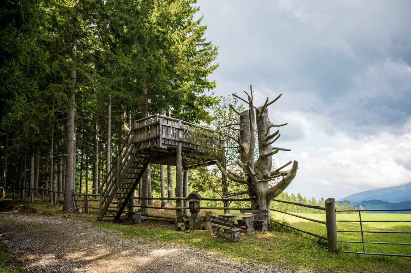
obdach-aussichtsplattform_st._anna-c-anita_foessl_13.jpg | © A_FOESSL | ANITA_FOESSL
1/12
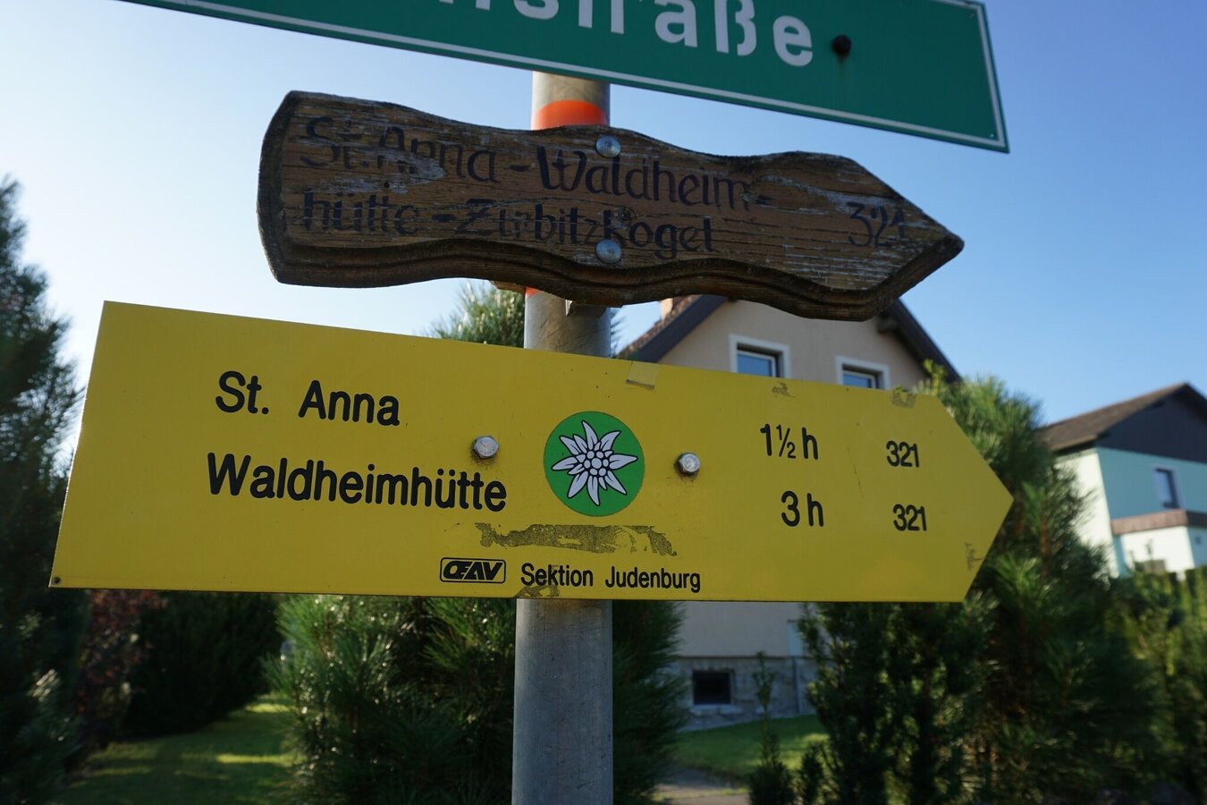
von obdach über erlebniswanderweg zur aussichtsplattform st. anna_img_42317965 | © Erlebnisregion Murtal | 50plus Campingpark Fisching
2/12
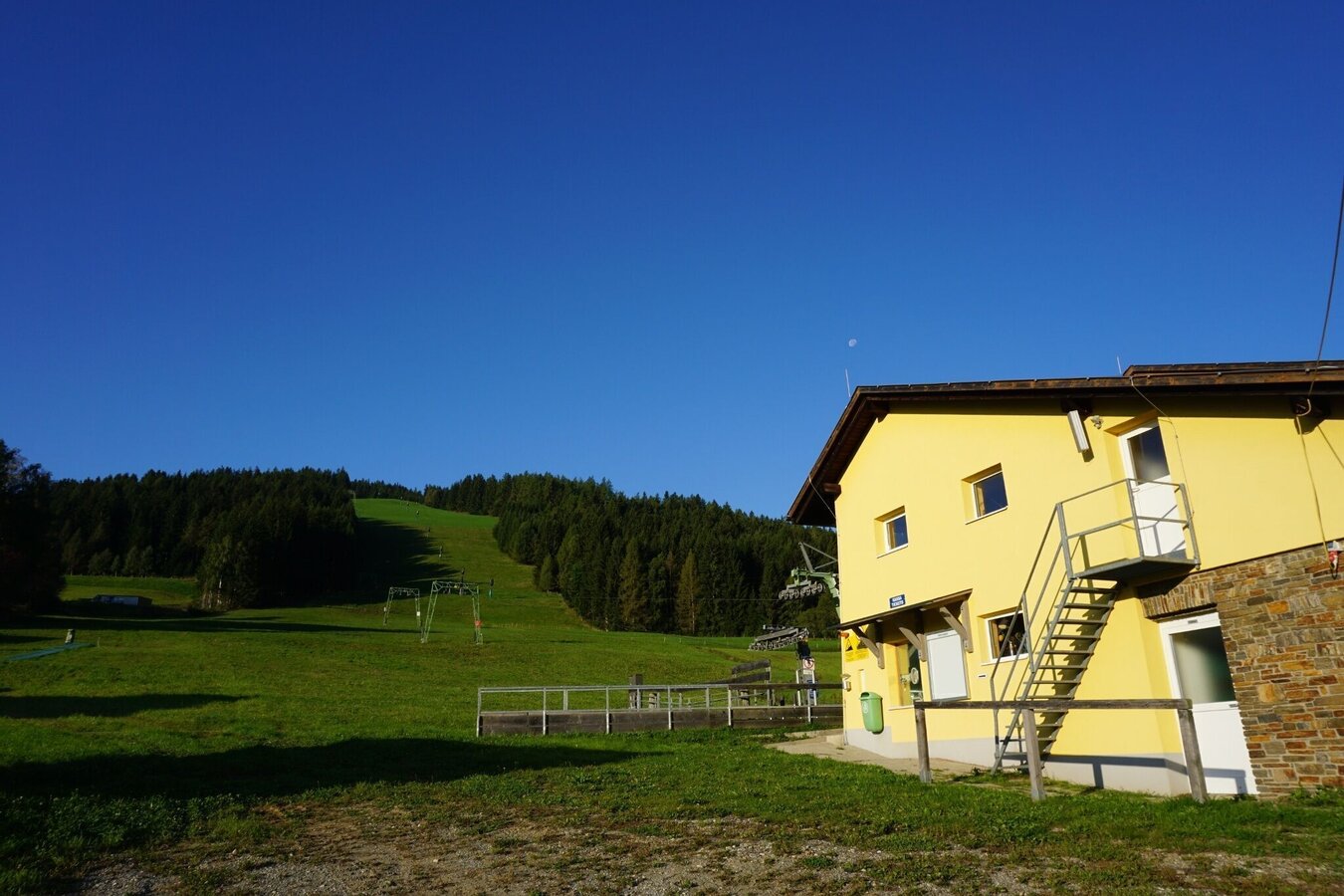
von obdach über erlebniswanderweg zur aussichtsplattform st. anna_img_42317967 | © Erlebnisregion Murtal | 50plus Campingpark Fisching
3/12
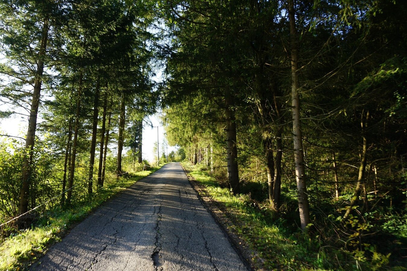
von obdach über erlebniswanderweg zur aussichtsplattform st. anna_img_42317968 | © Erlebnisregion Murtal | 50plus Campingpark Fisching
4/12
von obdach über erlebniswanderweg zur aussichtsplattform st. anna_img_42317970 | © Erlebnisregion Murtal | 50plus Campingpark Fisching
5/12
von obdach über erlebniswanderweg zur aussichtsplattform st. anna_img_42318014 | © Erlebnisregion Murtal | 50plus Campingpark Fisching
6/12
von obdach über erlebniswanderweg zur aussichtsplattform st. anna_img_42318015 | © Erlebnisregion Murtal | 50plus Campingpark Fisching
7/12
von obdach über erlebniswanderweg zur aussichtsplattform st. anna_img_42318016 | © Erlebnisregion Murtal | 50plus Campingpark Fisching
8/12
von obdach über erlebniswanderweg zur aussichtsplattform st. anna_img_42318074 | © Erlebnisregion Murtal | 50plus Campingpark Fisching
9/12
von obdach über erlebniswanderweg zur aussichtsplattform st. anna_img_42318075 | © Erlebnisregion Murtal | 50plus Campingpark Fisching
10/12
von obdach über erlebniswanderweg zur aussichtsplattform st. anna_img_42318077 | © Erlebnisregion Murtal | 50plus Campingpark Fisching
11/12
von obdach über erlebniswanderweg zur aussichtsplattform st. anna_img_42318079 | © Erlebnisregion Murtal | 50plus Campingpark Fisching
12/12

What the weather will be like Obdach (868m)
Today, 28.09.2026
Dry and sunny throughout the day with hardly any clouds.Morning

7°C
sr.Regenwahrscheinlichkeit
0%
sr.Windstärke
5 km/h
Noon
20°C
sr.Regenwahrscheinlichkeit
0%
sr.Windstärke
5 km/h
Night
13°C
sr.Regenwahrscheinlichkeit
0%
sr.Windstärke
5 km/h
Tomorrow, 29.09.2026
Dry and sunny throughout the day with hardly any clouds.Morning
8°C
sr.Regenwahrscheinlichkeit
0%
sr.Windstärke
5 km/h
Noon
19°C
sr.Regenwahrscheinlichkeit
0%
sr.Windstärke
10 km/h
Night
12°C
sr.Regenwahrscheinlichkeit
0%
sr.Windstärke
5 km/h
Forecast
30.09.2026
6°C
20°C
01.10.2026

6°C
20°C
02.10.2026
8°C
20°C
