


Saugmoarunde
Characteristics
SkillThe tour in numbers
Level of difficulty
easy
Route
8,1 km
Time
2:06 h
Uphill
108 hm
Downhill
108 hm
Highest point
976 m
Circular hiking trail in the direction to Obdacher Sattler along the Zirbenlandradweg R26. Crossing Obdacher Sattels. Return via hiking trail 521a and 521, along the Styrian circular hiking trail.
At Trachtenmode Neuböck, turn right along St. Anna-Weg to the Oberer Siedlungsweg junction. Turn left and follow the road along the Zirbenlandradweg R26. The little-used, asphalted road leads to Hubert Berlinger Weg.
A wide gravel path continues from here. We pass the Scherngell cross. The gravel path soon changes back to asphalt.
At cycle junction 96, we turn left onto country road 540. Change sides of the road at Obdacher Sattel and keep left. Follow the road into Kleinprethal until you reach a narrow field path on the left. The field path briefly runs alongside the forest and crosses a meadow with a fence.
We cross a very beautiful section of forest. At the cycle junction 94, keep left along the Styrian circular hiking trail or hiking trail 321. Just under 3 km to Obdach.
After the level crossing, stay on Rudolf-Falb-Gasse and return to the starting point through the pedestrian passage next to the Obdach archway.
Best season
January
February
March
April
May
June
July
August
September
October
November
December
More information
Approach to Obdach via federal highway B78
Large parking lot to the right of St. Anna-Weg and at the Obdach bus station.
Large parking lot to the right of St. Anna-Weg and at the Obdach bus station.
We start from the plague column in the middle of Obdach. Turn right at Trachtenmode Neuböck and follow St. Anna-Weg to the junction with Oberer Siedlungsweg, which we follow in a southerly direction - along the Zirbenlandradweg R26. The little-used, asphalted road leads to Hubert Berlinger Weg.
From here, a wide gravel path leads us through a beautifully maintained mixed forest. We pass the Scherngell cross. The gravel path soon changes to asphalt.
At cycle junction 96, we turn left onto country road 540. A little caution is now required here, as the main road has to be crossed. We quickly change sides of the road at Obdacher Sattel and keep left until we can turn off onto the road towards Kleinprethal.
We follow the road into Kleinprethal until we reach a narrow field path on the left. We leave the hiking trail 521a here. The field path briefly runs alongside the forest and crosses a meadow with a fence.
The path then widens again and we cross a very beautiful section of forest. At cycle junction 94, we return to the asphalt road and are now on the Styrian circular hiking trail or hiking trail 321.
Passing the Lankowitzer cross, we return to Obdach for just under 3 km. We pass two more wayside shrines - beautiful sky-blue crosses and enjoy a great view of the Seetal Alps.
After the level crossing, we continue along Rudolf-Falb-Gasse and return to the village center through the pedestrian passage next to the Obdach archway. Now it is only a few steps back to our starting point.
Take care when crossing the Obdacher Sattel - the main road is very busy and drivers do not always keep to the prescribed speed limit.
- Backpack with rain cover
- Telescopic / hiking poles
- Mountain / hiking boots
- Gloves: waterproof and warming
- Headgear / sunglasses
- Outerwear: Onion layer system, T-shirt, sweater, jacket and winter jacket with hood
- Hiking pants
- Seat pad
- Drinking bottle / thermos flask (on cooler days a warming drink is pleasant)
- Snack
- First aid kit with blister plaster and tick tongs
Other important equipment
- Route descriptionDetailed
- plan of the hike
- Hiking map: For overview a map in scale 1 : 50 000 of the respective region
- GPS device
- cell phone
The bench in front of the Scherngell cross in the middle of the forest invites you to take your first short break.
Arrival from Zeltweg or Reichenfels by bus. More information at www.busbahnbim.at
More information at www.murtal.at/wandern You can also find this tour on the following hiking map:
Region Murtal - Hiking map 1 & 2
The hiking maps 1,2&3 - you can get for free at the tourism association Murtal - info@murtal.at - Tel.: +43 3577 26600
You can also find more information about the region on - www.murtal.at
Map & downloads
Gallery

Breiter Schotterweg durch den Wald | © Erlebnisregion Murtal | 50plus Campingpark Fisching
1/12

Scherngell-Kreuz | © Erlebnisregion Murtal | 50plus Campingpark Fisching
2/12

saugmoarunde_img_42112431 | © Erlebnisregion Murtal | 50plus Campingpark Fisching
3/12

Aussicht entland dem Wanderweg 321a | © Erlebnisregion Murtal | 50plus Campingpark Fisching
4/12

Schmaler Waldweg entland Bänerzaun | © Erlebnisregion Murtal | 50plus Campingpark Fisching
5/12

Breiterer Waldweg - Ankürzung zum Wanderweg 521 | © Erlebnisregion Murtal | 50plus Campingpark Fisching
6/12
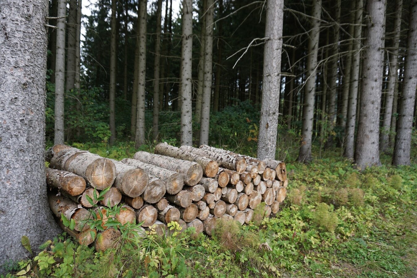
saugmoarunde_img_42112489 | © Erlebnisregion Murtal | 50plus Campingpark Fisching
7/12

Radknotenpunkt 94 und zurück am Wanderweg 521 | © Erlebnisregion Murtal | 50plus Campingpark Fisching
8/12

saugmoarunde_img_42112574 | © Erlebnisregion Murtal | 50plus Campingpark Fisching
9/12

saugmoarunde_img_42112576 | © Erlebnisregion Murtal | 50plus Campingpark Fisching
10/12

saugmoarunde_img_42112577 | © Erlebnisregion Murtal | 50plus Campingpark Fisching
11/12

saugmoarunde_img_42112579 | © Erlebnisregion Murtal | 50plus Campingpark Fisching
12/12

What the weather will be like Obdach (868m)
Today, 01.10.2026
Dry and sunny throughout the day with hardly any clouds.Morning

6°C
sr.Regenwahrscheinlichkeit
0%
sr.Windstärke
0 km/h
Noon
19°C
sr.Regenwahrscheinlichkeit
0%
sr.Windstärke
10 km/h
Night
11°C
sr.Regenwahrscheinlichkeit
0%
sr.Windstärke
5 km/h
Tomorrow, 02.10.2026
Dry and partly sunny throughout the day, with cloudy periods from time to time.Morning

7°C
sr.Regenwahrscheinlichkeit
0%
sr.Windstärke
5 km/h
Noon
18°C
sr.Regenwahrscheinlichkeit
0%
sr.Windstärke
5 km/h
Night
11°C
sr.Regenwahrscheinlichkeit
0%
sr.Windstärke
5 km/h
Forecast
03.10.2026
6°C
20°C
04.10.2026
4°C
20°C
05.10.2026
7°C
20°C
