


Habring via Greimegger
Characteristics
SkillThe tour in numbers
Level of difficulty
medium
Route
10,7 km
Time
3:30 h
Uphill
570 hm
Downhill
570 hm
Highest point
1497 m
A leisurely forest and meadow hike from Oberzeiring to a well-known summit of the Murberge, the Habring. A year-round hiking destination - also an experience with snowshoes.
The village of Oberzeiring is known for its spa center, the THEO studio stage and the silver show mine. Silver mining has been documented since the 13th century and the mine was one of the most important medieval production sites. Combining the show mine with a hike is an interesting combination. The hiking options around Oberzeiring are varied and easy to do in both summer and winter. One well-known peak is the Habring (also known as Habering) at 1497 m, which lies to the south-west of the village and can be reached via easy terrain with beautiful viewing points. A few decades ago, the Habring still offered great views, but now there is nothing left of the view as the summit is in the middle of the forest. Nevertheless, the hiking destination is still attractive, as there is a beautiful summit cross with edelweiss and a small rest area. In short: a leisurely forest and meadow hike with summit happiness.
Best season
January
February
March
April
May
June
July
August
September
October
November
December
More information
From Judenburg via the B 114 in the direction of Hohentauern (19 km, approx. 20 minutes).
Several parking spaces in the center of Oberzeiring behind the church and at the end of the village (ski lift).
From Trieben an der Pyhrn highway A 9 via the B114 towards Judenburg (33 km, approx. 35 minutes)
Several parking spaces in the center of Oberzeiring behind the church and at the end of the village (ski lift).
We start in the center of Oberzeiring (1), 932 m, pass the spa center and follow the road towards Lachtal. At the end of the village there is a large parking lot, which can also be used as a starting point for this hike. We stay on the road and after approx. 750 m, at a crossroads on the left, we see trail marker 3 and the signpost with the inscription "Trail no. 3 via Greimegger to Habringspitz trail 3a". Here we follow the directional arrow and turn left at the next crossroads and continue to the farm vlg. Greimegger (2), 1130 m, where we walk directly between the house and the farm. Immediately behind the farmhouse, we turn right uphill along the forest road, which first leads along the edge of the forest and then into the forest. We stay on the forest road and come to a sharp left-hand bend where there are no markings. We turn left and shortly afterwards follow the red-white-red markings again. At an altitude of approx. 1300 m, we reach open meadows and alpine pastures and have a beautiful view of the surrounding area of Oberzeiring. Here there is a crossroads (3), 1330 m, with yellow signposts and an indication of trail 960 in the direction of Habringsattel. This is followed by a steeper section up to the Habringsattel (4), 1415 m. Several paths come together at the Habringsattel. We turn right after the fence (trail no. 3a) and keep in line uphill until we reach the densely wooded ridge and subsequently the summit, Habring (5), 1497 m. The descent follows the ascent route.
For a conflict-free coexistence on alpine pastures and meadows it is important to observe a few rules, especially when traveling with dogs. (Source: www.sichere-almen.at - 06/2021)
- Avoid contact with grazing animals, do not feed them, keep a safe distance!
- Keep calm, do not frighten grazing animals!
- Mother cows protect their calves. Avoid encounters between mother cows and dogs!
- Always keep dogs under control and on a short leash. If an attack by a grazing animal is foreseeable: Immediately unleash!
- Do not leave hiking trails on alpine pastures and meadows!
- If grazing animals block the way, avoid them as far as possible!
- When grazing animals approach: Stay calm, do not turn your back, avoid the animals!
- Leave the grazing area quickly at the first sign of restlessness of the animals!Fences must be respected!
- If there is a gate, use it, then close it well and cross the pasture quickly!
- Treat the people working here, nature and the animals with respect!
A few tips for correct and fair behavior in the forest: (Source: www.bundesforste.at - 6/2021)
- Hikers should avoid visits to the forest about 1.5 hours before sunrise and after sunset, as wildlife is especially active during this time.
- Plastic bottles, handkerchiefs, cigarette butts & Co have no place in the forest! Please make sure that you do not leave any trash in the forest.
- Camping and making fire - is strictly forbidden in the forest!
- In principle, each person is allowed to collect 2 kg of mushrooms and berries per day for personal use in the forest. It is only forbidden if the forest owner expressly forbids it.
Alpine emergency call:
Mountain rescue emergency number: 140
EU emergency number: 112
Weather service: www.zamg.ac.at
Direct link mountain weather Styria: https://www.zamg.ac.at/cms/de/wetter/produkte-und-services/bergwetter/steiermark
- Backpack with rain cover
- Telescopic / hiking poles
- Mountain / hiking boots
- Gloves: waterproof and warming
- Headgear / sunglasses
- Outerwear: Onion layer system, T-shirt, sweater, jacket and winter jacket with hood
- Hiking pants
- Seat pad
- Drinking bottle / thermos flask (on cooler days a warming drink is pleasant)
- Snack
- First aid kit with blister plaster and tick tongs
Other important equipment
- Route descriptionDetailed
- plan of the hike
- Hiking map: For overview a map in scale 1 : 50 000 of the respective region
- GPS device
- cell phone
At the Habringsattel, take a detour to the east to enjoy the "St. Oswald view" with the Seckau Alps behind you.
Oberzeiring is connected to the public transportation network and can be reached by bus. (From Judenburg or Hohentauern approx. 30 minutes)
The exact timetable and general information about public transport in the region: www.verbundlinie.at
Refreshments and overnight accommodation:
Gasthaus Kumpf, Tel.: +43 3571 2231, 8762 Pölstal/Oberzeiring, Hauptstraße 32,
Gasthof Zum Grünen Specht, Tel.: +43 3571 2238, 8762 Pölstal, Marktplatz 2, www.gruener-specht.at
Gasthof-Pension Haunschmidt, Tel.: +43 3571 2216, 8762 Pölstal, Hauptstraße 7
Further accommodation and guesthouses: www.murtal.at
Freytag & Berndt (2017): Seetaler Alpen, Seckauer Alpen, Judenburg, Knittelfeld. WK 212 Wander-, Rad-, Freizeitkarte; 1 : 50 000 C. und M. Hlatky, (2017): Murtal – Rund um Spielberg – Seetaler Alpen und Seckauer Alpen. Kral Verlag, S. 160Map & downloads
Gallery
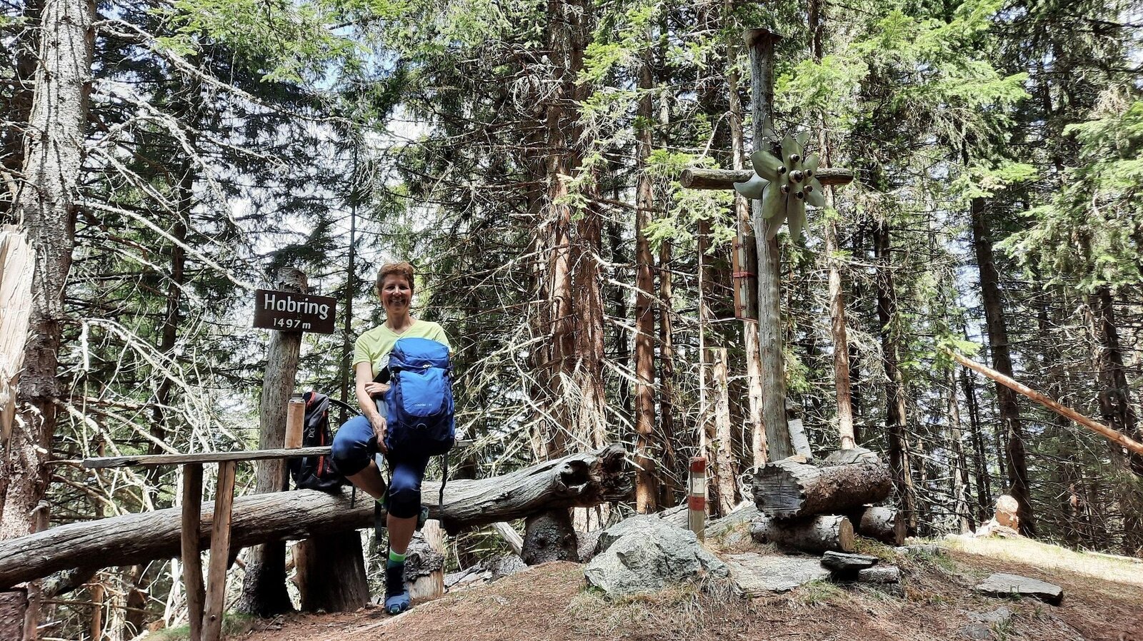
Der Habring - ein Gipfel im Wald | © Weges OG | Weges OG
1/11
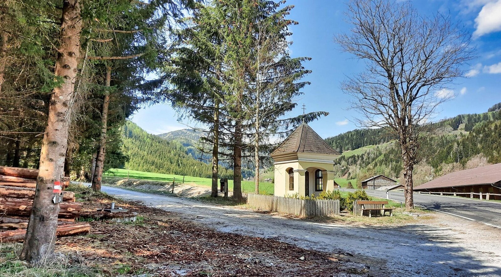
Bei der Kapelle wandern wir links Richtung vlg. Greimegger von der Straße weg | © Weges OG | Weges OG
2/11
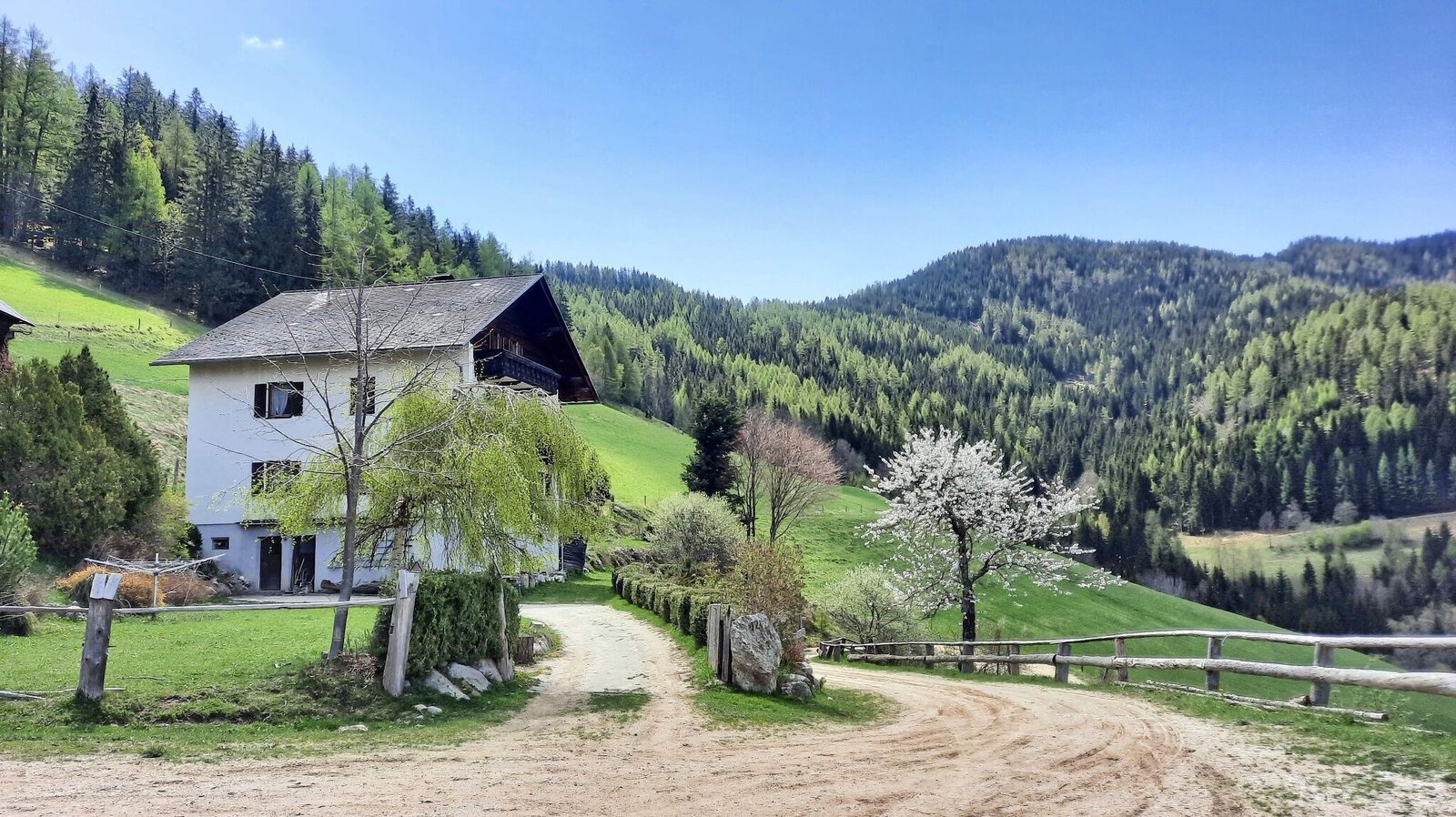
Bauernhof vlg. Greimegger | © Weges OG | Weges OG
3/11
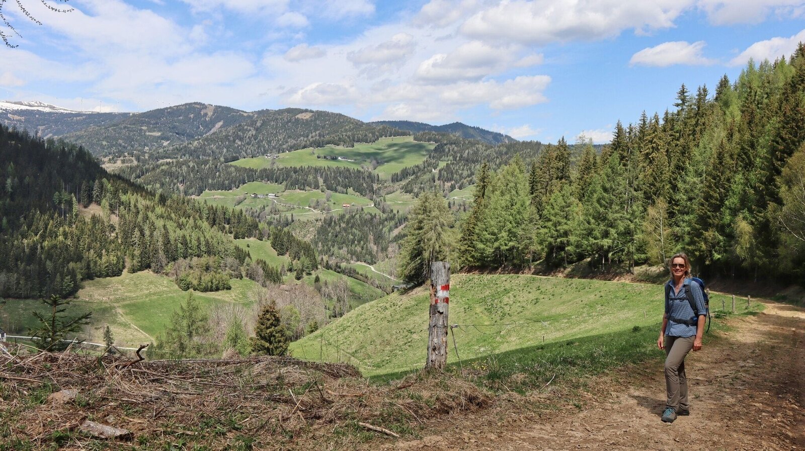
Der Weg ist gut markiert | © Weges OG | Weges OG
4/11
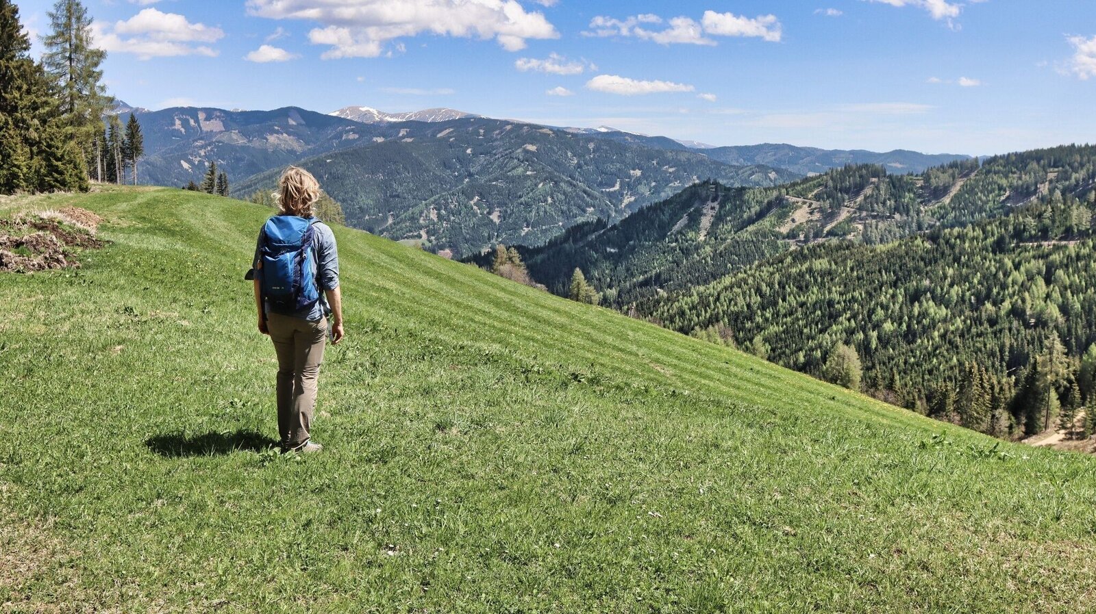
Wir erreichen die Anhöhe über dem Bauernhof vlg. Freitag | © Weges OG | Weges OG
5/11
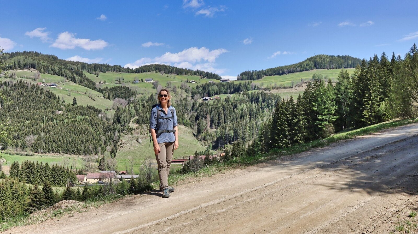
Aussichtsreicher Aufstieg | © Weges OG | Weges OG
6/11
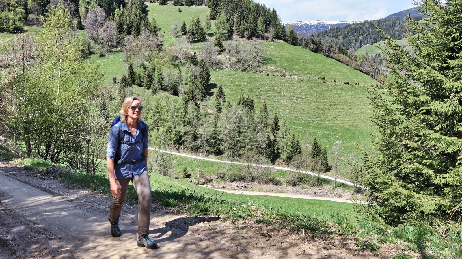
Gemütlich steigt die Schotterstraße bergauf an | © Weges OG | Weges OG
7/11
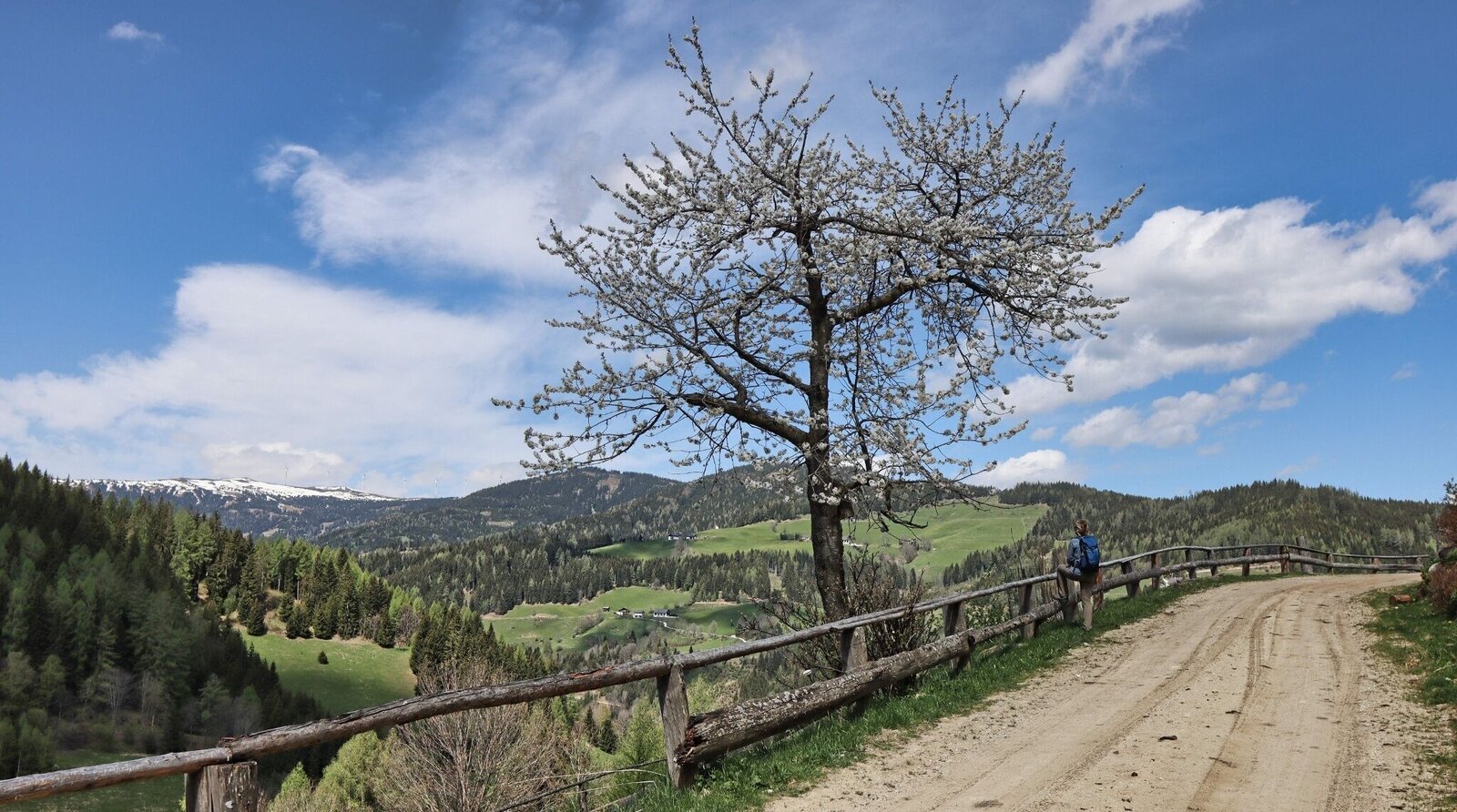
Der Blick auf den Windpark im Lachtal begleitet uns | © Weges OG | Weges OG
8/11
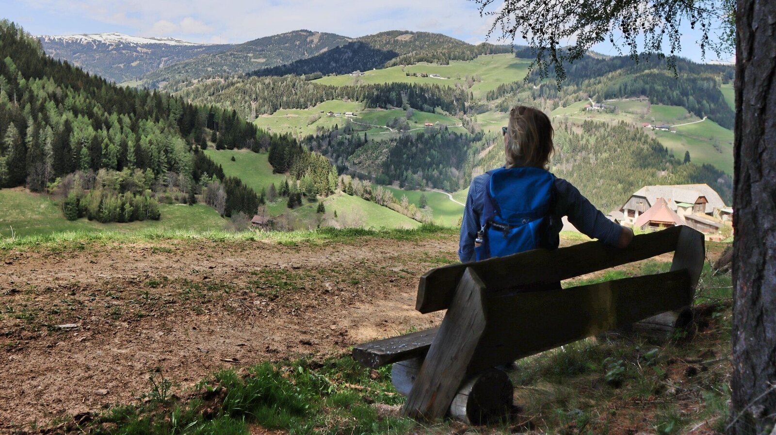
Bankerl mit Aussicht | © Weges OG | Weges OG
9/11
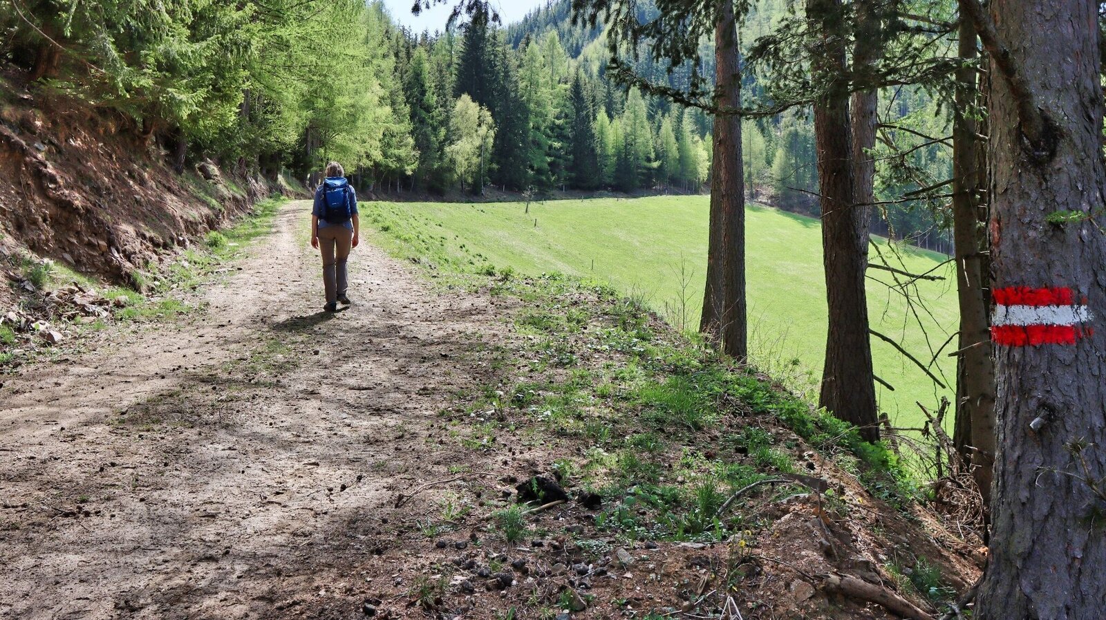
Aufstieg über Forststraßen | © Weges OG | Weges OG
10/11
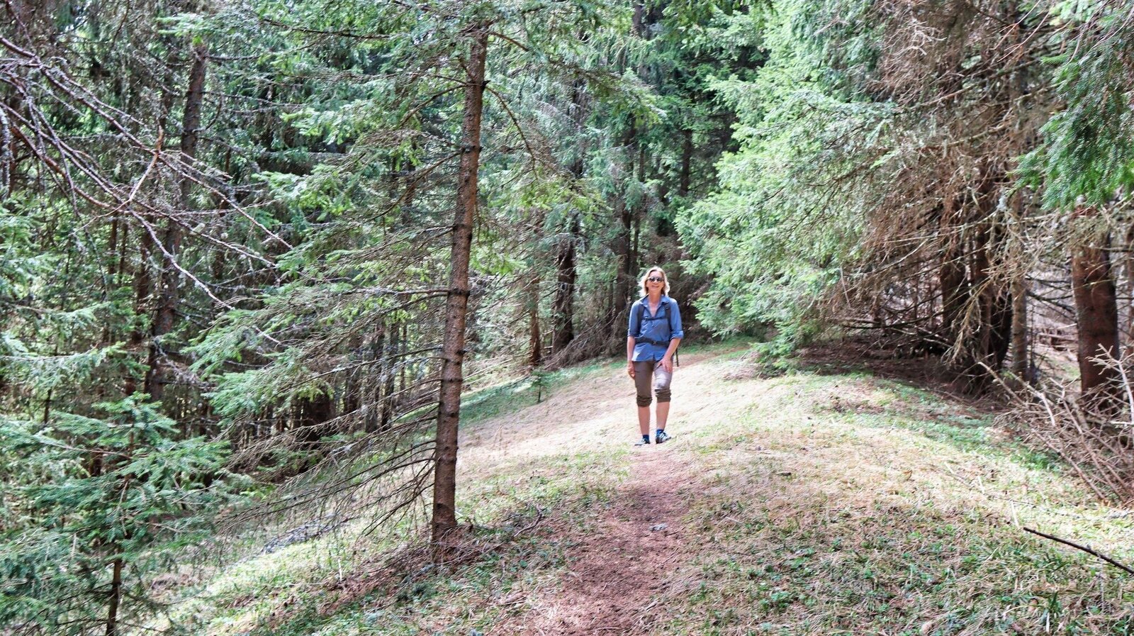
Der Gipfelanstieg führt durch den Wald | © Weges OG | Weges OG
11/11

What the weather will be like Pölstal (918m)
Today, 26.10.2026
Sunny and cloudy periods will alternate throughout the day.Morning

1°C
sr.Regenwahrscheinlichkeit
90%
sr.Windstärke
5 km/h
Noon
9°C
sr.Regenwahrscheinlichkeit
20%
sr.Windstärke
5 km/h
Night

3°C
sr.Regenwahrscheinlichkeit
0%
sr.Windstärke
5 km/h
Tomorrow, 27.10.2026
Dry and partly sunny throughout the day, with cloudy periods from time to time.Morning
0°C
sr.Regenwahrscheinlichkeit
0%
sr.Windstärke
0 km/h
Noon
10°C
sr.Regenwahrscheinlichkeit
5%
sr.Windstärke
5 km/h
Night
5°C
sr.Regenwahrscheinlichkeit
5%
sr.Windstärke
0 km/h
Forecast
28.10.2026
2°C
13°C
29.10.2026
3°C
12°C
30.10.2026

1°C
12°C
