


Via the Raxenmäuersteig and Bismarcksteig to the Rax in the Mürzer Oberland Nature Park
Characteristics
FitnessThe tour in numbers
Level of difficulty
medium
Route
7,7 km
Time
4:30 h
Uphill
810 hm
Downhill
810 hm
Highest point
1826 m
A mountain tour along the southern Rax falls, surefootedness necessary. Accompanied by the sun on the Styrian side of the Rax.
Here we combine two secured climbs with a visit to two hospitable mountain huts on the Styrian side of the Rax. Some surefootedness is necessary, especially on the Bismarcksteig. However, this climb can be easily bypassed on the hiking trail over the Predigtstuhl.
Best season
January
February
March
April
May
June
July
August
September
October
November
December
More information
At Preiner Gscheid we first keep slightly left uphill in the direction of Reißtalerhütte / Reißtalersteig (yellow marking, information board). Before the hut we follow the Gretchensteig right uphill (from here somewhat steeper) until just below the tree / mountain pine border. Here the Raxenmäuersteig branches off to the right, marked in blue, and leads us, always diagonally upwards, below the rock walls, to an insured climbing point (not too difficult). A few steel ropes help us up here and soon we are at the junction with the Karl Kantnersteig coming up from the Schlangenweg and also secured.
Here we quickly ascend in a few minutes to the Karl Ludwigaus on the Rax plateau.
After a rest at the hospitable hut, we descend briefly to the so-called Törl, an embrasure between Ludwighaus and Predigtstuhl. Now do not continue downhill but briefly turn left on a wide path uphill to the junction of the Bismarcksteig (marker pole). Now along the southern slopes of the Predigtstuhl, partly secured (surefootedness absolutely necessary, danger of falling!) to the Waxriegelsteig.
The secured Bismarcksteig can also be bypassed by crossing the Predigtstuhl (hiking trail).At the Waxriegelsteig the Bismarcksteig and the hiking trail over the Predigtstuhl meet again. Together we descend via the partly washed-out, but not difficult hiking trail to the Waxriegelhaus.
After another break, we hike easily downhill back to Preiner Gscheid.
Most hiking and mountain tours in the Mürzer Oberland Nature Park are in alpine terrain. Especially for longer hiking and mountain tours, a good physical condition as well as surefootedness and a head for heights are recommended. On the plateaus of Rax, Schneealm and Veitsch orientation can be difficult in fog or bad weather. In winter always pay attention to avalanche danger!
Mountain rescue emergency number: 140, emergency stations in Neuberg an der Mürz and Mürzzuschlag.
Do not walk on described paths when wet, partly steep grass!
Proper backpacking makes a lot of things easier:Pack heavy things first. The water bottle (ideally: 1 liter or more) should always be within easy reach. All things that are often needed such as sunglasses, camera, cell phone or hiking map belong on top.
An emergency kit including blister plaster belongs in every backpack and a clothing according to the "onion system" is always recommended! Never forget rain protection for alpine tours! Helmet!
In winter, when ski touring and snowshoeing, appropriate safety equipment (avalanche transceiver, avalanche shovel and probe) is mandatory! Before the tour always call up the avalanche situation report (www.lawine-steiermark.at).
Burial search devices, avalanche shovels and probes can be rented at the nature park office for a small fee.
This tour can be extended with any variants, made easier, but also more demanding. In the immediate vicinity of the Karl Ludwig House is the Rißtalersteieg (secured climb, ladder) or the Gretchensteig. East of the Waxriegelsteig on the plateau is the hospitable Seehütte (already in Lower Austria), another worthwhile destination.
Preiner Gscheid very difficult to reach by public transport!
If you want to entrust yourself to a tour operator, simply book with Steiermark Touristik, the official travel agency of Steiermark Tourismus: Tel. +43 316 4003 450, www.steiermark-touristik.com
Mürzer Oberland Nature Park Office, Tel. +43 3857 8321, www.muerzeroberland.at , open Mon. - Fri. from 8:00 a.m. - 12:00 p.m.
Styria Tourism, Tel. +43 316 4003, www.steiermark.com
TRV Hochsteiermark, tel. +43 3862 55020, www.hochsteiermark.at
Tip: the Styria Tours app, available for free on Google Play and in the App Store (Android, iOS), offers detailed first-hand information: short facts (length, duration, difficulty, ascent and descent in altitude meters, ratings), map, route descriptions, altimeter, compass, summit finder, navigation along the tour. In addition, you can create your personal favorites list of favorite tours and points, save tours and destinations offline, play social media channels and more.
Mountain, hiking and nature park guides: Information at the Nature Park Office Mürzer Oberland, Tel.: +43 3857 8321.
By the way, get your personal summit pins with the Summit Lynx App: www.summitlynx.com
In the office of the Nature Park Mürzer Oberland you will gladly receive a regional overview map free of charge.Kompass hiking maps Vienna Hausberge, Schneeberg, Rax, 1:25.000, Freytag & Berndt hiking maps Semmering, Rax, Schneeberg, Schneealpe and Hochschwab, Veitschalpe, Eisenerz, Bruck an der Mur, 1:50.000.
Tip: the free Pocket Card hiking route "From Glacier to Wine" can be found at www.steiermark.com, the High Styrian hiking map "Hoch hinaus" and the "BergZeitReise" are available free of charge at the Nature Park office.
Wanderführer "BergZeitReise" des TRV Hochsteiermark, 2017
Map & downloads
Gallery
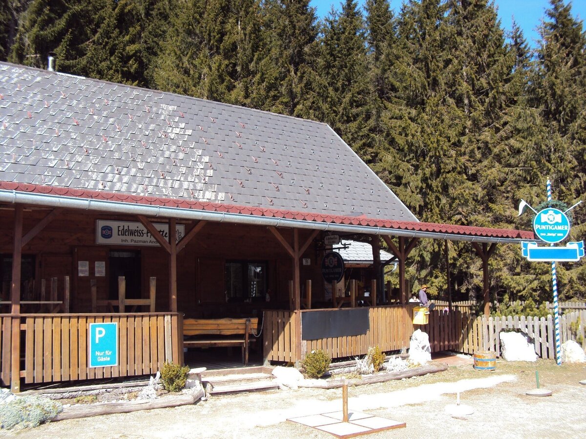
Die Edelweißhütte | © Naturpark Mürzer Oberland | Daniela Paul
1/11
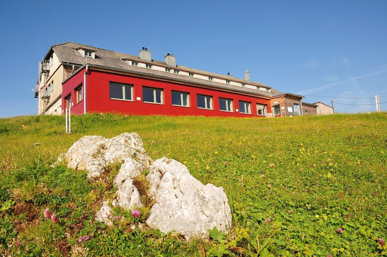
Das Karl Ludwig Haus | © Naturpark Mürzer Oberland | Daniela Paul
2/11
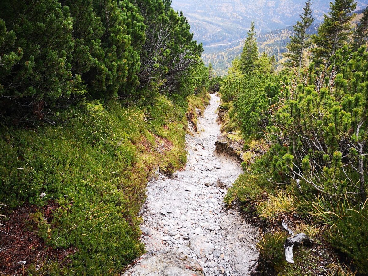
Am Waxriegelsteig | © TV Hochsteiermark | Andreas Steininger
3/11
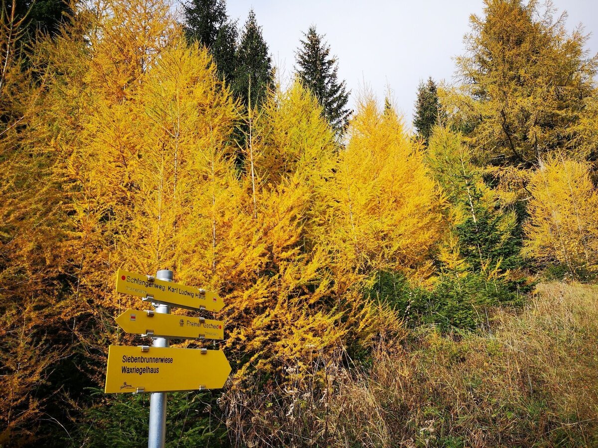
Start beim Preiner Gscheid | © TV Hochsteiermark | Andreas Steininger
4/11
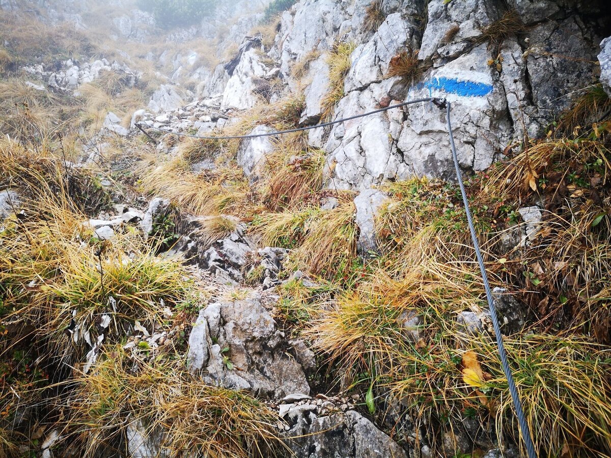
Raxenmäuersteig | © TV Hochsteiermark | Andreas Steininger
5/11
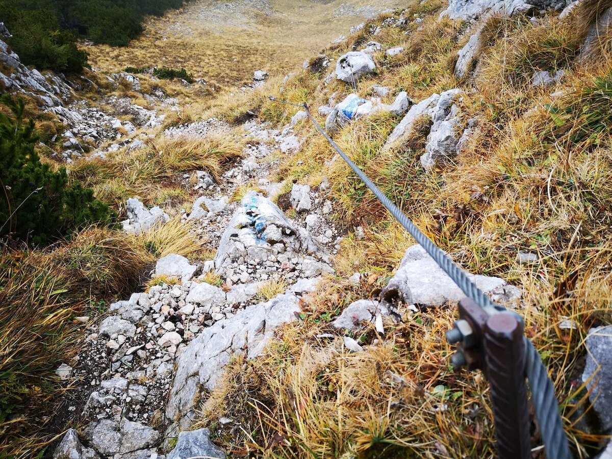
Raxenmäuersteig | © TV Hochsteiermark | Andreas Steininger
6/11
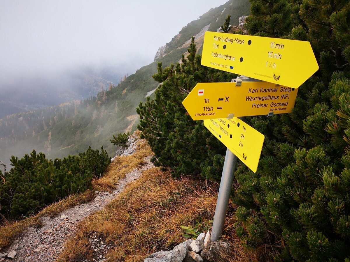
Kreuzung Raxenmäuersteig Kantnersteig | © TV Hochsteiermark | Andreas Steininger
7/11
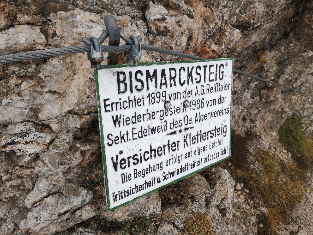
Am Bismarcksteig | © TV Hochsteiermark | Andreas Steininger
8/11
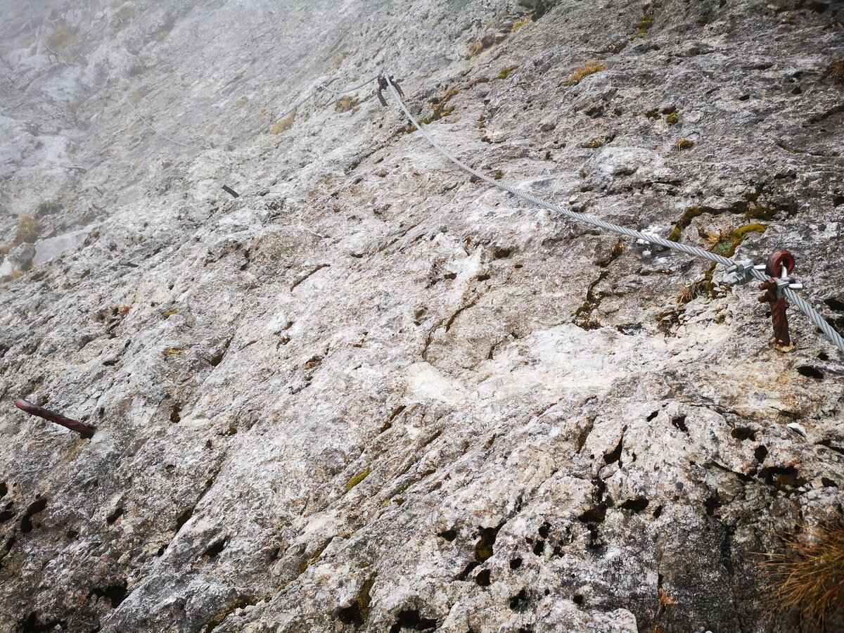
Bismarcksteig | © TV Hochsteiermark | Andreas Steininger
9/11
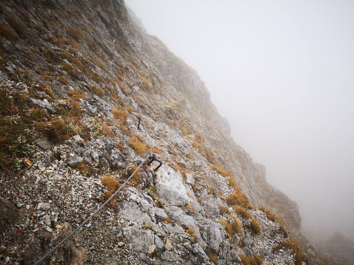
Bismarcksteig | © TV Hochsteiermark | Andreas Steininger
10/11
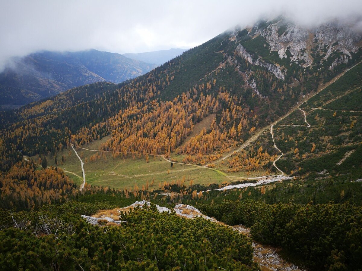
Tiefblick auf die Siebenbrunnerwiese | © TV Hochsteiermark | Andreas Steininger
11/11
