


Frohnleitner Gschwendtberg
Characteristics
SkillThe tour in numbers
Level of difficulty
challenging
Route
7,5 km
Time
3:30 h
Uphill
610 hm
Downhill
610 hm
Highest point
1000 m
Currently, due to storm damage, please observe diversions/detours.
Fresh forest air, challenging trails and spectacular viewpoints: a tour in the Graz Highlands to strengthen the immune system and lung capacity.
Fresh forest air, challenging trails and spectacular viewpoints: a tour in the Graz Highlands to strengthen the immune system and lung capacity.
The ascent route to Gschwendtberg, towering high above Frohnleiten, is steep and impressive. This summit, just under 1000 metres high, lies at the southernmost point of a 15 km-long mountain ridge that stretches from Heuberg - near Röthelstein and Rote Wand - to Frohnleiten. This ridge in the Graz Highlands, which separates the Murtal valley from the Tyrnauertal valley, impresses with colourful deciduous forests and some challenging trails. Conclusion: A short tour for sporty hikers and those who also enjoy steeper sections from time to time.
Best season
January
February
March
April
May
June
July
August
September
October
November
December
More information
Von Graz: Über die A9, weiter auf der S35, Abfahrt Frohnleiten
Von Bruck: Über die S35, Abfahrt Frohnleiten
Bahnhof Frohnleiten
We travel by train to Frohnleiten (438 m) (flux GU1269) and do not leave the station grounds towards the center, but at the back, turning left immediately. We go through the underpass, past a car dealership, and immediately after the bridge turn left into the side street. After a few meters, we see the path on the right and thus the beginning of the hiking trail. We follow the trail to the Julius Warte (578 m) and enjoy the first view of Frohnleiten. Trail 10 runs continuously uphill – partly very steeply – with only a few short descents, until we reach an impressive viewpoint and, shortly afterwards, the Gschwendtberg (993 m). After a short descent and ascent to the Gschwendt (1000 m), we follow the well-marked trail downhill. At the junction of trails 10 and 748, we keep right and follow the signs towards Frohnleiten. The well-marked and clearly recognizable trail leads continuously downhill to the valley floor, where we keep right and hike back to the station (flux GU1269) along the asphalt road.
Consistently very well marked and signposted. Some sections are very steep and slippery; caution when wet!
Backpack with rain cover
Trekking / hiking poles
Mountain / hiking boots
Gloves: waterproof and warm
Headwear / sunglasses
Outerwear: layering system, T-shirt, sweater, jacket and winter jacket with hood
Hiking trousers
Sitting pad
Water bottle / thermos flask (on cooler days, a warm drink is pleasant)
Snack or packed lunch
First-aid kit with blister plasters and tick tweezers
Other important equipment
Route description
Detailed hiking plan
Hiking map: For an overview, a map at a scale of 1 : 50 000 of the respective region
GPS device
Mobile phone
Backpack with rain cover
Trekking / hiking poles
Mountain / hiking boots
Gloves: waterproof and warm
Headwear / sunglasses
Outerwear: layering system, T-shirt, sweater, jacket and winter jacket with hood
Hiking trousers
Sitting pad
Water bottle / thermos flask (on cooler days, a warm drink is pleasant)
Snack or packed lunch
First-aid kit with blister plasters and tick tweezers
Other important equipment
Route description
Detailed hiking plan
Hiking map: For an overview, a map at a scale of 1 : 50 000 of the respective region
GPS device
Mobile phone
Wer die Tour verlängern möchte, kann den Frohnleitner Höhenweg bis nach Mixnitz wandern und mit dem Zug zurück fahren.
Wanderer ohne PKW können gemütlich öffentlich per Bus oder per Zug anreisen. Durch die gut frequentierte S1-Linie zwischen Graz und Bruck/Mur, ist der Ausgangspunkt gut öffentlich erreichbar.
(Bahnhof Frohnleiten)
Nähere Informationen zu den Bahn- und Busverbindungen Sie unter Öbb Fahrplanauskunft
GUSTmobil-Haltestellen am Bahnhof: 1269
Fahrtenbuchungen sind mindestens 60 Minuten vor Wunschabfahrt telefonisch unter 0123 500 44 11, via Internet unter www.ISTmobil.at der App möglich. (Betriebszeiten: Montag – Samstag: 06:00 – 24:00Sonntag & Feiertag: 06:00 – 22:00)
Mehrere Einkehrmöglichkeiten in Frohnleiten
Weitere Info: Erlebnis Region Graz
WK 131 Freytag & Berndt Wander-Rad-Freizeitkarte: Grazer Bergland, Schöckl, Teichalm, Stubenbergsee
Regionale Wanderbroschüre der Erlebnisregion Graz "Wandern rund um Graz" kostenlos bestellen
Map & downloads
Gallery
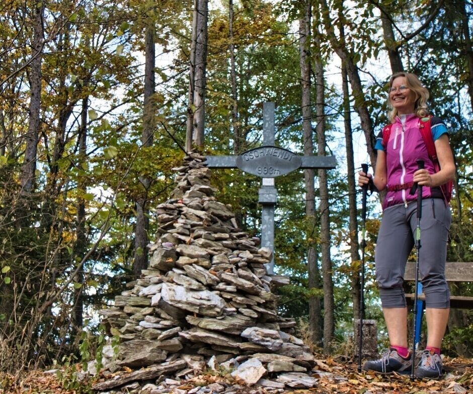
Gipfelkreuz am Gschwendtberg | © Weges OG | Silvia Sarcletti
1/12
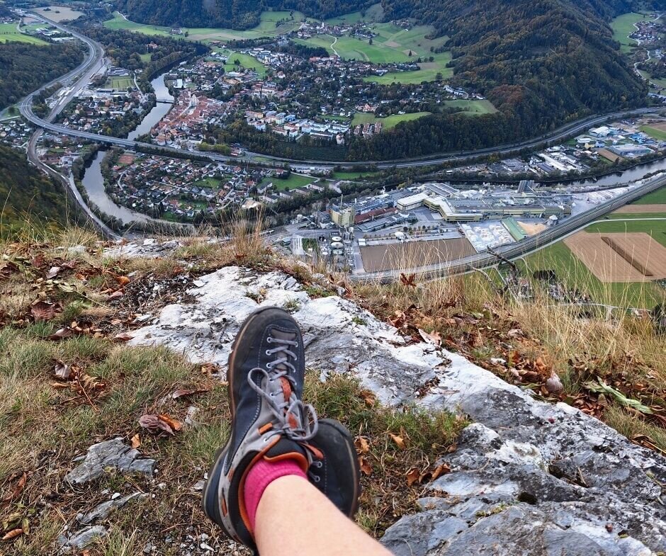
Aussichtsplatz | © Weges OG | Silvia Sarcletti
2/12
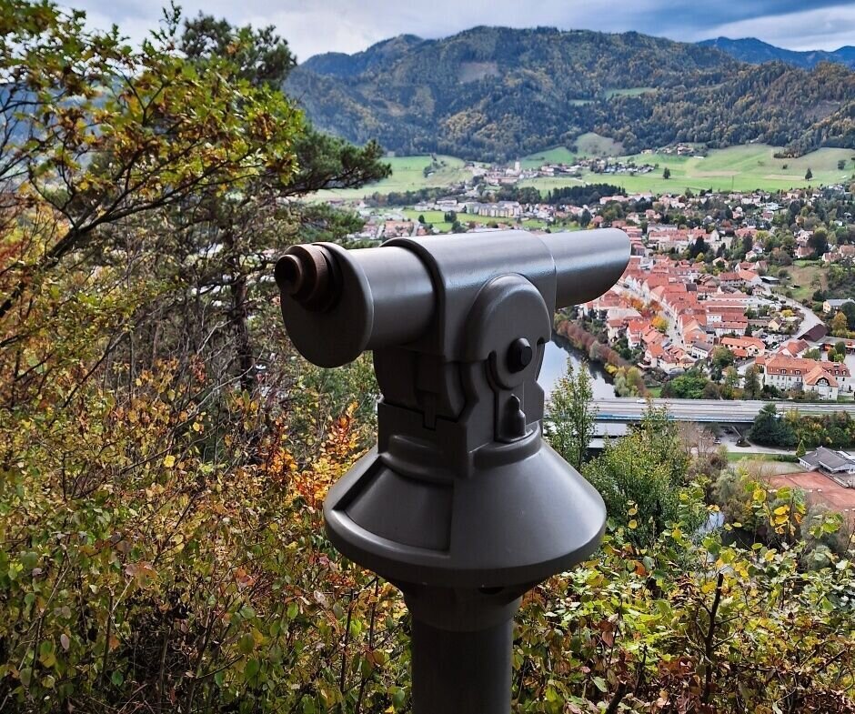
Blick auf Frohnleiten und Umgebung | © Weges OG | Silvia Sarcletti
3/12
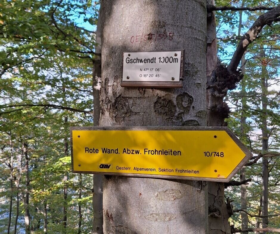
Gschwendt, 1000 m | © Weges OG | Silvia Sarcletti
4/12
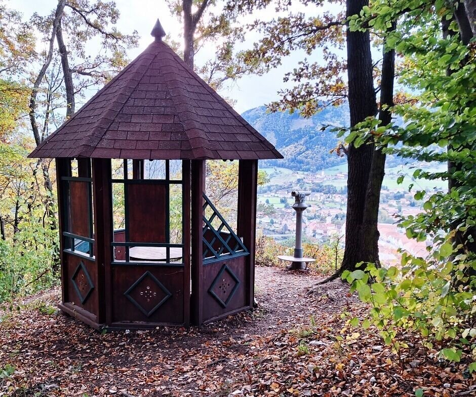
Julius Warte | © Weges OG | Silvia Sarcletti
5/12
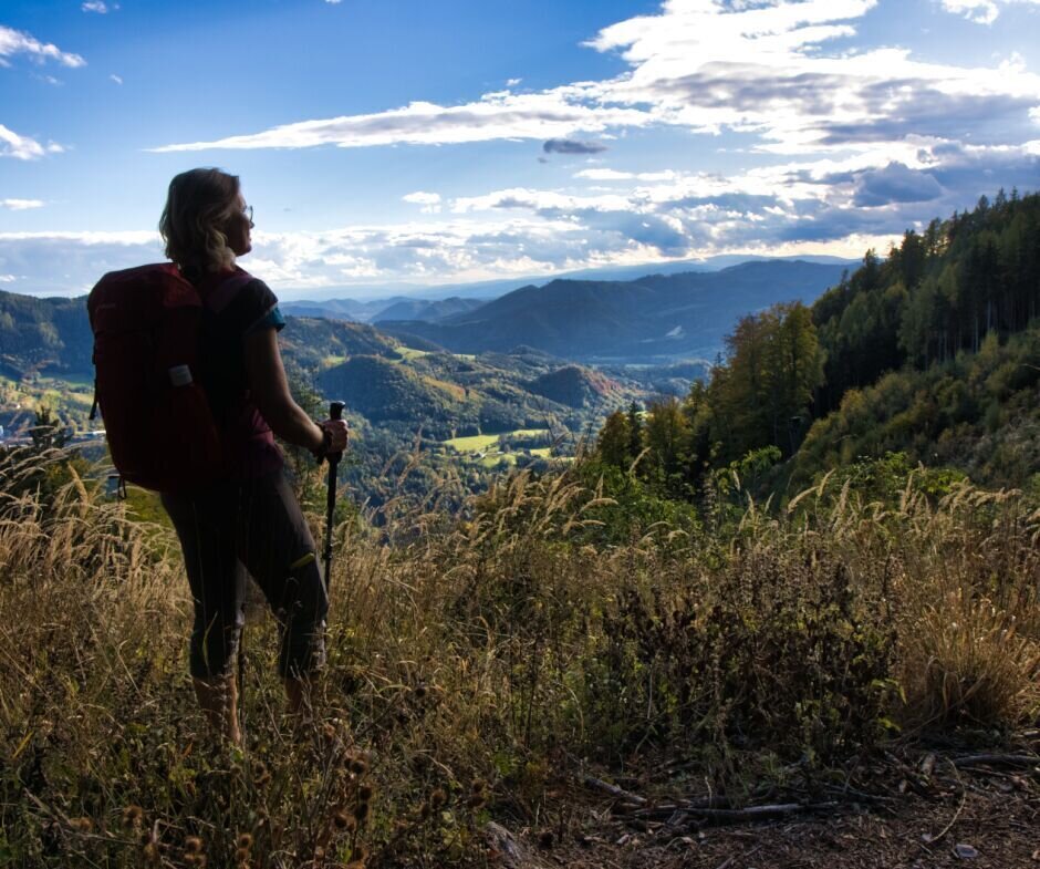
Wir genießen die Aussicht | © Weges OG | Silvia Sarcletti
6/12
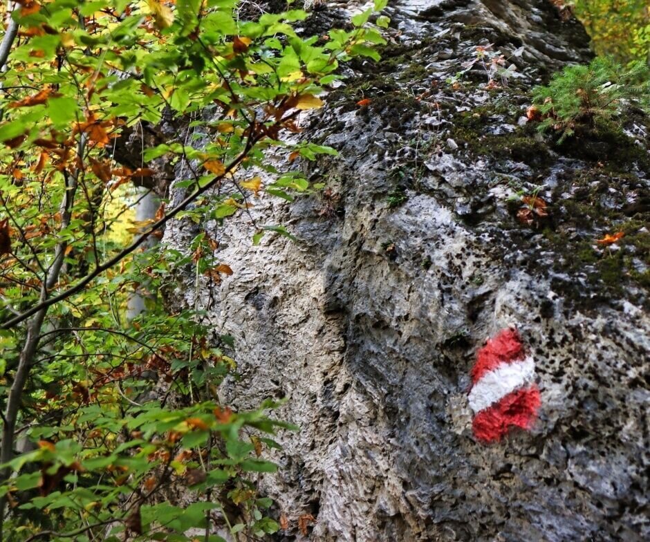
Der Weg ist durchgehend gut markiert | © Weges OG | Silvia Sarcletti
7/12
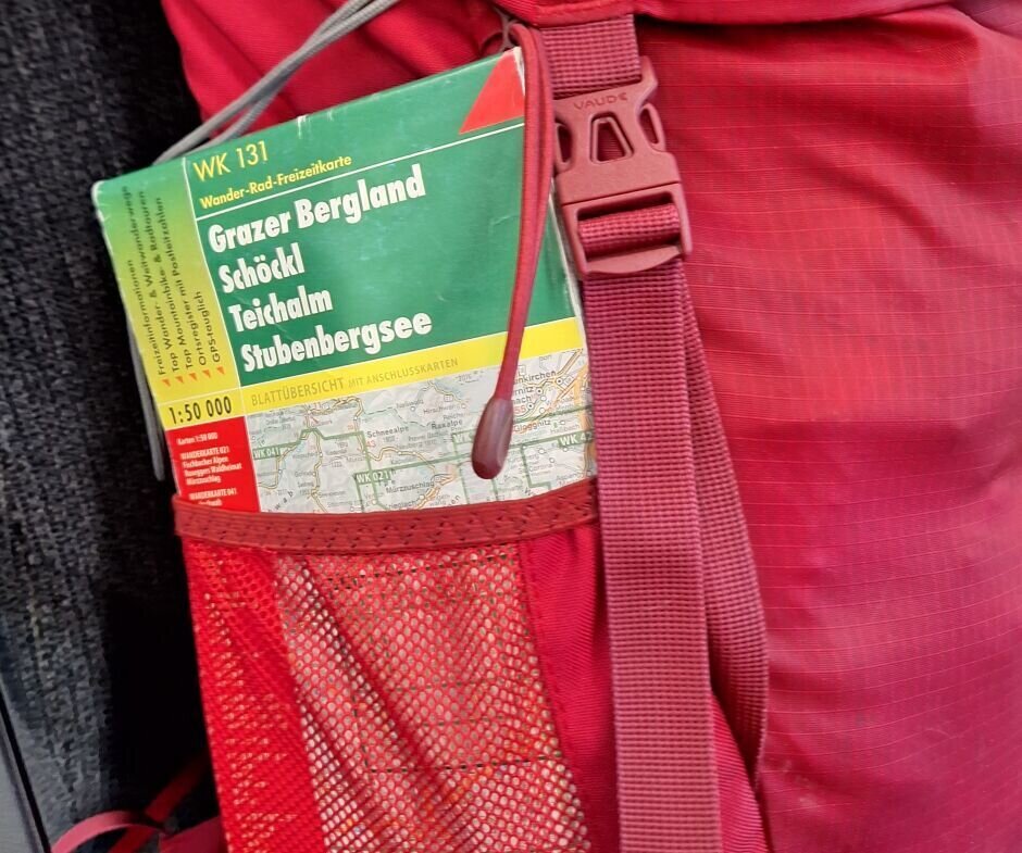
Wanderkarte Grazer Bergland | © Weges OG | Silvia Sarcletti
8/12
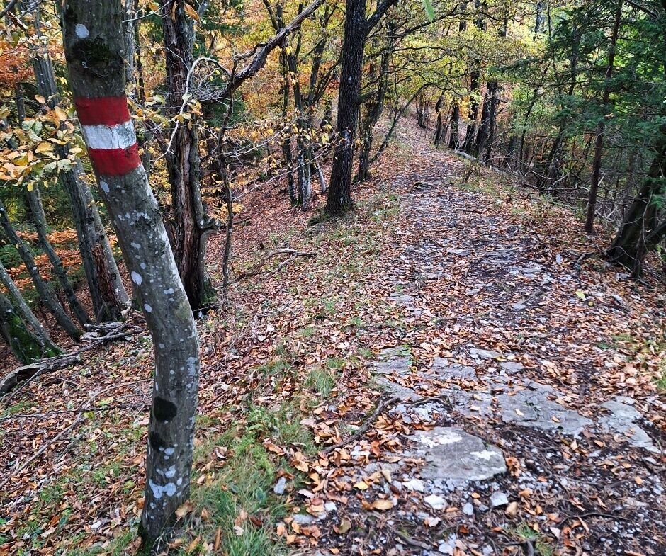
Der Weg führt steil bergauf | © Weges OG | Silvia Sarcletti
9/12
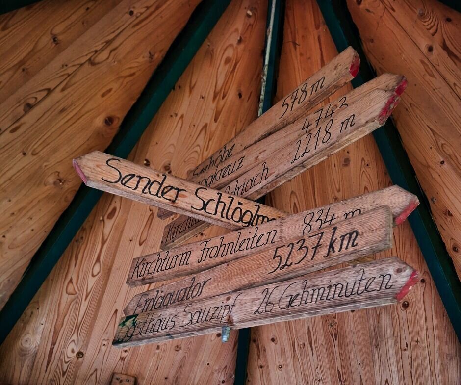
Julius Warte | © Weges OG | Silvia Sarcletti
10/12
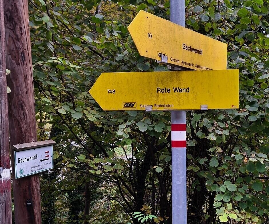
Beschilderungssystem | © Weges OG | Silvia Sarcletti
11/12
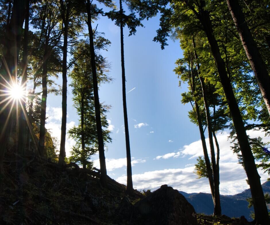
Herbststimmung | © Weges OG | Silvia Sarcletti
12/12

What the weather will be like Frohnleiten (433m)
Today, 11.10.2026
Partly sunny in the morning, gradually becoming cloudy in the afternoon.Morning

9°C
sr.Regenwahrscheinlichkeit
0%
sr.Windstärke
5 km/h
Noon
16°C
sr.Regenwahrscheinlichkeit
5%
sr.Windstärke
5 km/h
Night

11°C
sr.Regenwahrscheinlichkeit
40%
sr.Windstärke
0 km/h
Tomorrow, 12.10.2026
Showers will die away soon to leave a bright day with plenty of sunshine.Morning

8°C
sr.Regenwahrscheinlichkeit
40%
sr.Windstärke
0 km/h
Noon

14°C
sr.Regenwahrscheinlichkeit
10%
sr.Windstärke
5 km/h
Night

8°C
sr.Regenwahrscheinlichkeit
5%
sr.Windstärke
0 km/h
Forecast
13.10.2026
4°C
16°C
14.10.2026
3°C
17°C
15.10.2026
6°C
18°C

