


Mountain Tour Heavenly Place 7- Bösenstein
Characteristics
SkillThe tour in numbers
Level of difficulty
medium
Route
8,3 km
Time
3:37 h
Uphill
899 hm
Downhill
842 hm
Highest point
2445 m
A challenging beautiful mountain tour in the Murtal adventure region
From the Edelraute hut, the well-marked trail leads through a pine forest past the large Scheibelsee lake. The trail continues in switchbacks through a steep scree gully to the eastern ridge of the Großer Bösenstein in the Murtal adventure region. This is ascended via a small, easily recognizable path that leads over boulders and scree. If you are fit enough, you can return via the Kleiner Bösenstein (2395 m) and the Großer Hengst (2159 m) to the Edelrautehütte. This beautiful ridge walk ( "Langermannweg") is also well marked. From the Großer Bösenstein, a path leads in a southwesterly direction to a saddle and from there ascends to the Kleiner Bösenstein, continuing along the ridge to the Großer Hengst, from where the descent to the Edelrautehütte takes place in steep switchbacks.
Best season
January
February
March
April
May
June
July
August
September
October
November
December
More information
via the B114 Triebenertauernstraße, turn onto Neue Tauernstraße follow till Edelrautestraße. Stay on Edelrautestraße till you get to the big Parikng lot Scheibelalm/ Edlerautehütte
Parkinglot Scheibelalm & Edelrautehütte
Parkinglot Scheibelalm & Edelrautehütte
From the parking lot to the Edelrautehütte, along the marked path to the Großer Scheibelsee, follow the signpost towards Großer Bösenstein.
For a conflict-free coexistence on alpine pastures and meadows it is important to observe a few rules, especially when traveling with dogs. (Source: www.sichere-almen.at - 06/2021)
- Avoid contact with grazing animals, do not feed them, keep a safe distance!
- Keep calm, do not frighten grazing animals!
- Mother cows protect their calves. Avoid encounters between mother cows and dogs!
- Always keep dogs under control and on a short leash. If an attack by a grazing animal is foreseeable: Immediately unleash!
- Do not leave hiking trails on alpine pastures and meadows!
- If grazing animals block the way, avoid them as far as possible!
- When grazing animals approach: Stay calm, do not turn your back, avoid the animals!
- Leave the grazing area quickly at the first sign of restlessness of the animals!Fences must be respected!
- If there is a gate, use it, then close it well and cross the pasture quickly!
- Treat the people working here, nature and the animals with respect!
A few tips for correct and fair behavior in the forest: (Source: www.bundesforste.at - 6/2021)
- Hikers should avoid visits to the forest about 1.5 hours before sunrise and after sunset, as wildlife is especially active during this time.
- Plastic bottles, handkerchiefs, cigarette butts & Co have no place in the forest! Please make sure that you do not leave any trash in the forest.
- Camping and making fire - is strictly forbidden in the forest!
- In principle, each person is allowed to collect 2 kg of mushrooms and berries per day for personal use in the forest. It is only forbidden if the forest owner expressly forbids it.
Alpine emergency call:
Mountain rescue emergency number: 140
EU emergency number: 112
Weather service: www.zamg.ac.at
Direct link mountain weather Styria: https://www.zamg.ac.at/cms/de/wetter/produkte-und-services/bergwetter/steiermark
Sturdy shoes, weatherproof clothing, snack, drink, first aid kit.
Our Wolkenbankerl can also be reached very well by less experienced hikers, instead of the Bösenstein round you simply do a small round around the Scheibelsee.
In the Edelrautehütte you will be spoiled with homemade delicacies.
This tour is NOT considered "accessible by train and bus" because there is no regular connection.
Murtal Region www.murtal.at You can also find this tour on the following hiking map:
Region Murtal - Hiking map 3 - Tour 67a
The hiking maps 1,2&3 - you can get for free at the tourism association Murtal - info@murtal.at - Tel.: +43 3577 26600
You can also find more information about the region on - www.murtal.at
In the Murtal region there are three free hiking maps that show the entire region with the Seetaler Alps, Seckauer-, Wölzer-, Rottenmanner Tauern, Stubalpe and the Pöls- and Murtal. The maps are in scale 1.50.000.Map & downloads
Gallery
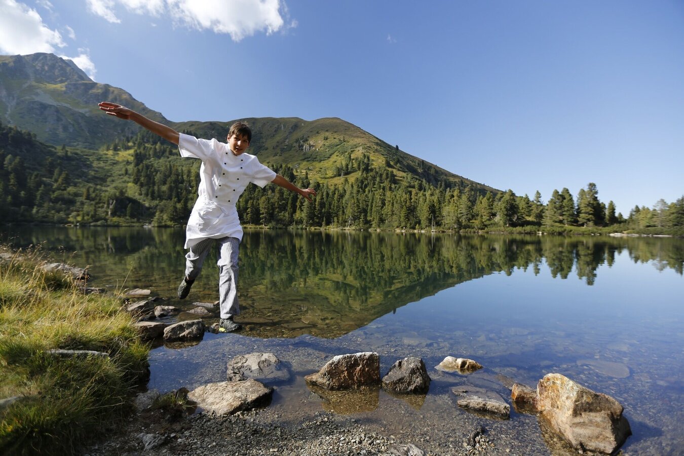
Scheibelsee | © Erlebnisregion Murtal | Herbert Raffalt
1/6
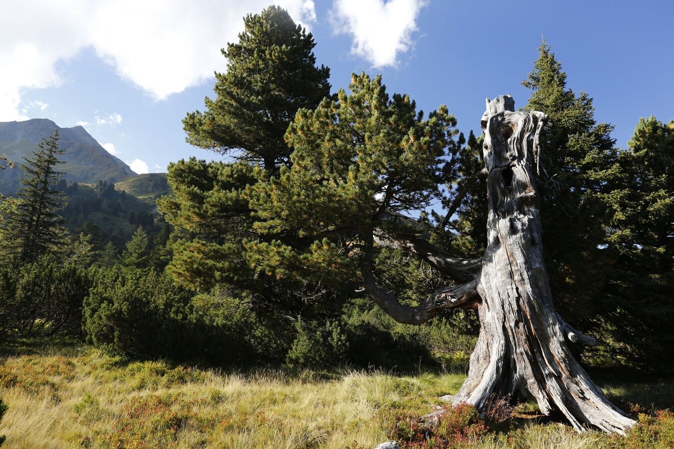
Alte Zirbenbäume | © Erlebnisregion Murtal | Tourismusverband Murtal Standort Hohentauern
2/6
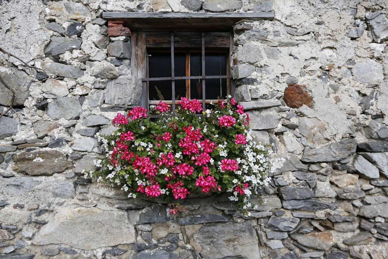
Scheibelalm | © Erlebnisregion Murtal | Tourismusverband Murtal Standort Hohentauern
3/6
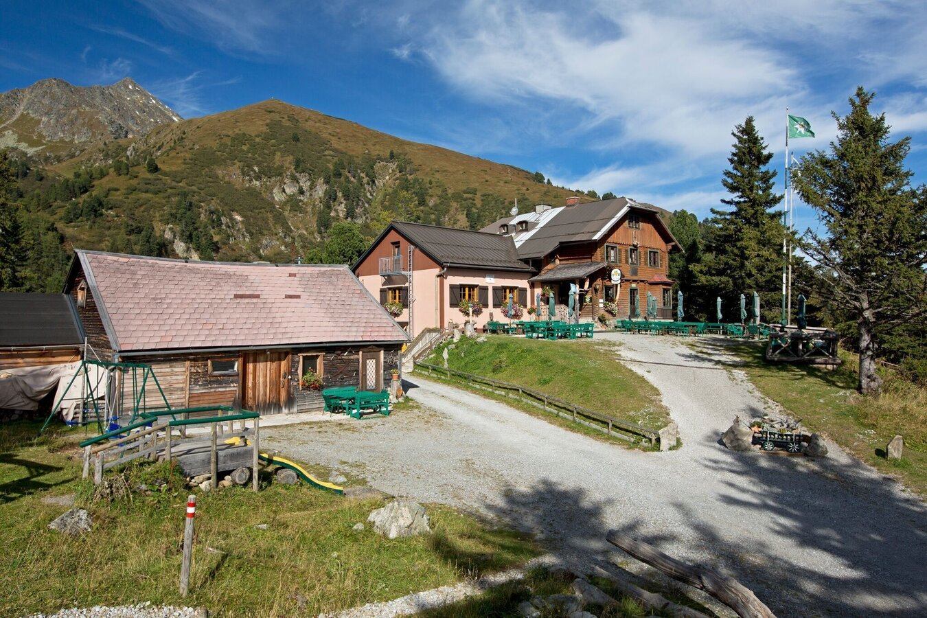
Edelrautehütte | © Erlebnisregion Murtal | Tourismusverband Murtal Standort Hohentauern
4/6
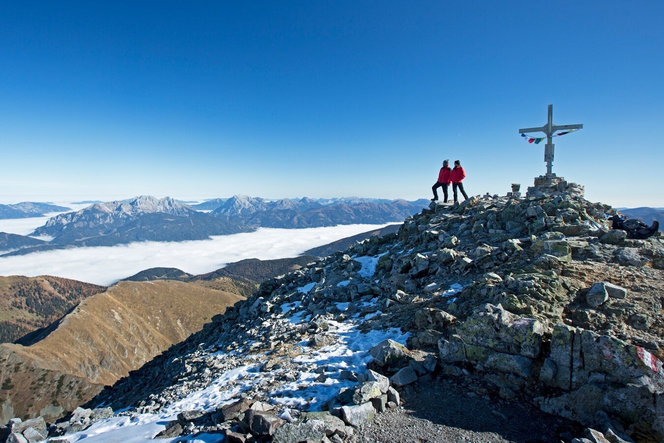
Bösenstein | © Erlebnisregion Murtal | Herbert Raffalt
5/6
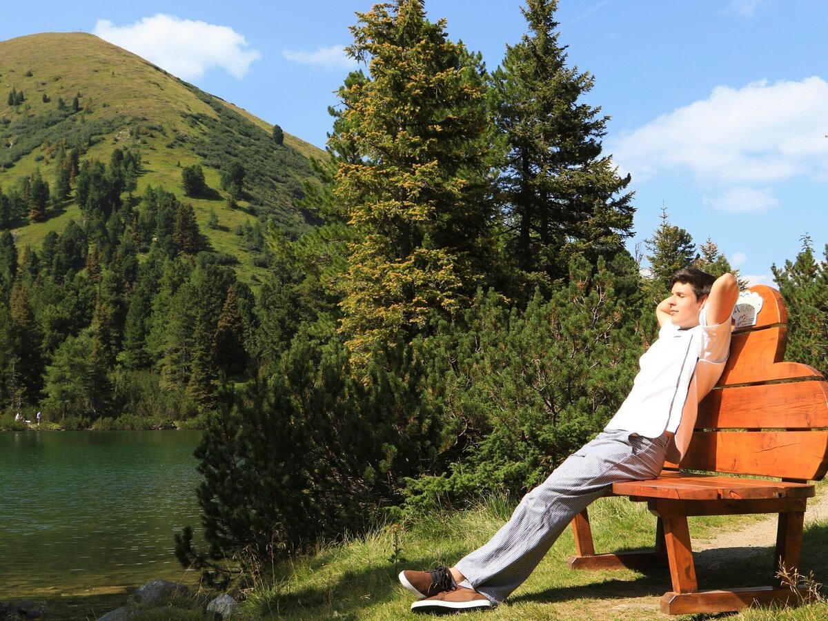
Rast am Wolkenbankerl | © Erlebnisregion Murtal | Tourismusverband Murtal Standort Hohentauern
6/6

What the weather will be like Hohentauern (1272m)
Today, 15.10.2026
Early clouds will gradually clear to leave the region with a dry and sunny day.Morning

5°C
sr.Regenwahrscheinlichkeit
0%
sr.Windstärke
5 km/h
Noon

13°C
sr.Regenwahrscheinlichkeit
0%
sr.Windstärke
5 km/h
Night

7°C
sr.Regenwahrscheinlichkeit
0%
sr.Windstärke
5 km/h
Tomorrow, 16.10.2026
Dry and sunny throughout the day with hardly any clouds.Morning
5°C
sr.Regenwahrscheinlichkeit
0%
sr.Windstärke
5 km/h
Noon
14°C
sr.Regenwahrscheinlichkeit
0%
sr.Windstärke
5 km/h
Night
6°C
sr.Regenwahrscheinlichkeit
0%
sr.Windstärke
5 km/h
Forecast
17.10.2026
3°C
14°C
18.10.2026
4°C
12°C
19.10.2026
4°C
12°C
