


Weg Nr. 7 Klosterneuburgerhütte
Characteristics
SkillThe tour in numbers
Level of difficulty
medium
Route
21,9 km
Time
6:30 h
Uphill
945 hm
Downhill
941 hm
Highest point
1878 m
The hike starts at the Grüner Specht inn and leads uphill via Berghofstraße to the Kalvarienberg. Past wayside shrines and the Kalvarienberg church, follow the steeper footpath to the “Sender” (1,269 m). After a descent to the “vlg. Taurer” farmstead, continue on trail no. 7 to the “Ohrn-Kehre”. This is followed by 6.8 km of asphalt road, past wind turbines and photovoltaic systems, to the Klosterneuburgerhütte. The return journey follows the same route.
The hike starts at GH Grüner Specht and leads past the Kurhotel to Gasthaus Kump. Here we turn right into Berghofstraße and walk uphill. Keeping to the right, the path leads to the Calvary, past wayside shrines and the Way of the Cross to the Calvary Church. From there, follow the steeper path and the signs to the “Sender” (1,269 m). After the highest point, the trail descends to the “vlg. Taurer” farmstead. Keep left here, the path leads through woods and meadows and follows signposts no. 7 to the “Ohrn-Kehre”. Now a strenuous climb awaits us over 6.8 km of asphalt road, past the wind farm with 10 wind turbines and large photovoltaic systems. Soon you will see the Klosterneuburgerhütte, the destination of the tour. The way back follows the same route and again offers beautiful views and varied nature.
Best season
January
February
March
April
May
June
July
August
September
October
November
December
More information
By Car:
From Vienna (approx. 2.5 hours):
- Take the A2 motorway towards Graz.
- Switch to the S36 towards Judenburg.
- Take the B78 to Judenburg, then the B114 to Oberzeiring.
From Graz (approx. 1.5 hours):
- Take the A9 motorway towards Linz.
- Switch to the S36 towards Judenburg.
- Take the B78 to Judenburg, then the B114 to Oberzeiring.
From Salzburg (approx. 2.5 hours):
- Take the A10 motorway towards Villach.
- Take the B96 towards Tamsweg, then the B97 towards Murau.
- Take the B114 to Oberzeiring.
Parking spaces are available right next to the church on the market square.
The route starts at the Grüner Specht inn, takes us past the spa hotel to the Kump inn.
Here we turn right into Berghofstraße and walk uphill along it. Now the path leads to the right in the direction of the Calvary, past several wayside shrines and the Way of the Cross to the Calvary with the Calvary Church.
Follow the steeper footpath and the signs to the “Sender”. After reaching the highest point (ORF transmitter mast at 1,269 m), the trail descends briefly to the “vlg.Taurer” farmstead.
Above the farmstead, keep to the left-hand path, which then branches off to the left into the forest after the meadow. Now follow the signposts no. 7 until you reach the asphalt road at the “Ohrn-Kehre”. Now a tough 6.8 km uphill asphalt road awaits, past the wind farm (10 wind turbines) and huge photovoltaic systems until we reach the Klosterneuburgerhütte, our longed-for destination, from afar. The way back is identical.
Here we turn right into Berghofstraße and walk uphill along it. Now the path leads to the right in the direction of the Calvary, past several wayside shrines and the Way of the Cross to the Calvary with the Calvary Church.
Follow the steeper footpath and the signs to the “Sender”. After reaching the highest point (ORF transmitter mast at 1,269 m), the trail descends briefly to the “vlg.Taurer” farmstead.
Above the farmstead, keep to the left-hand path, which then branches off to the left into the forest after the meadow. Now follow the signposts no. 7 until you reach the asphalt road at the “Ohrn-Kehre”. Now a tough 6.8 km uphill asphalt road awaits, past the wind farm (10 wind turbines) and huge photovoltaic systems until we reach the Klosterneuburgerhütte, our longed-for destination, from afar. The way back is identical.
- Backpack with rain cover
- Telescopic / hiking poles
- Mountain / hiking boots
- Gloves: waterproof and warming
- Headgear / sunglasses
- Outerwear: Onion layer system, T-shirt, sweater, jacket and winter jacket with hood
- Hiking pants
- Seat pad
- Drinking bottle / thermos flask (on cooler days a warming drink is pleasant)
- Snack
- First aid kit with blister plaster and tick tongs
- Route descriptionDetailed
- plan of the hike
- Hiking map: For overview a map in scale 1 : 50 000 of the respective region
- GPS device
- cell phone
A visit to the Oberzeiring show mine is always worthwhile.
Information on public transportation can be found at www.verbundlinie.at
More information at www.murtal.at/wandern
Map & downloads
Gallery
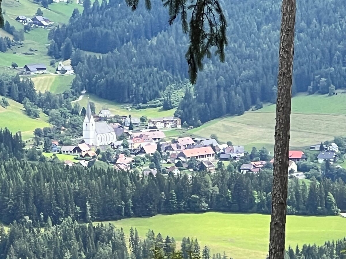
2 c Heidemaria Kainer.jpg | © Heidemaria Kainer | Heidemaria Kainer
1/4
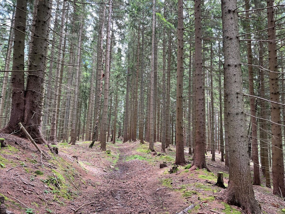
3 c Heidemaria Kainer.jpg | © Heidemaria Kainer | Heidemaria Kainer
2/4
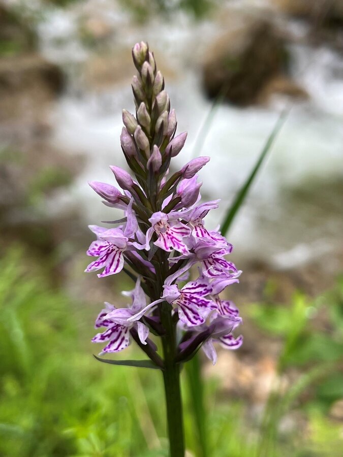
c Heidemaria Kainer.jpg | © Heidemaria Kainer | Heidemaria Kainer
3/4
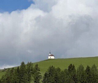
Klosterneuburgerhütte_Heidi Kainer.jpg | © Heidemaria Kainer | Heidemaria Kainer
4/4

What the weather will be like Pölstal (918m)
Today, 26.10.2026
Sunny and cloudy periods will alternate throughout the day.Morning

1°C
sr.Regenwahrscheinlichkeit
90%
sr.Windstärke
5 km/h
Noon
9°C
sr.Regenwahrscheinlichkeit
20%
sr.Windstärke
5 km/h
Night

3°C
sr.Regenwahrscheinlichkeit
0%
sr.Windstärke
5 km/h
Tomorrow, 27.10.2026
Dry and partly sunny throughout the day, with cloudy periods from time to time.Morning
0°C
sr.Regenwahrscheinlichkeit
0%
sr.Windstärke
0 km/h
Noon
10°C
sr.Regenwahrscheinlichkeit
5%
sr.Windstärke
5 km/h
Night
5°C
sr.Regenwahrscheinlichkeit
5%
sr.Windstärke
0 km/h
Forecast
28.10.2026
2°C
13°C
29.10.2026
3°C
12°C
30.10.2026

1°C
12°C
