


Weg Nr. 11 Treffenthaler Runde
Characteristics
SkillThe tour in numbers
Level of difficulty
easy
Route
6,0 km
Time
2:00 h
Uphill
135 hm
Downhill
139 hm
Highest point
1030 m
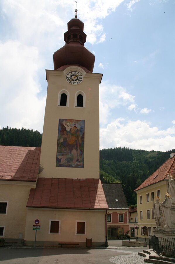
From the “Grüner Specht” inn, we walk past St. Nicholas Church across the church square in the direction of “Blahbach”. After crossing the stream, we follow Bachstraße to the “Nagelschmiedkreuz” and continue along Franz-Josef-Straße. Passing the biomass heating plant and forest park, we ascend slightly, walk through idyllic forest and reach the Treffenthaler farmstead.
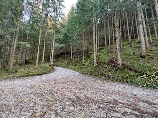
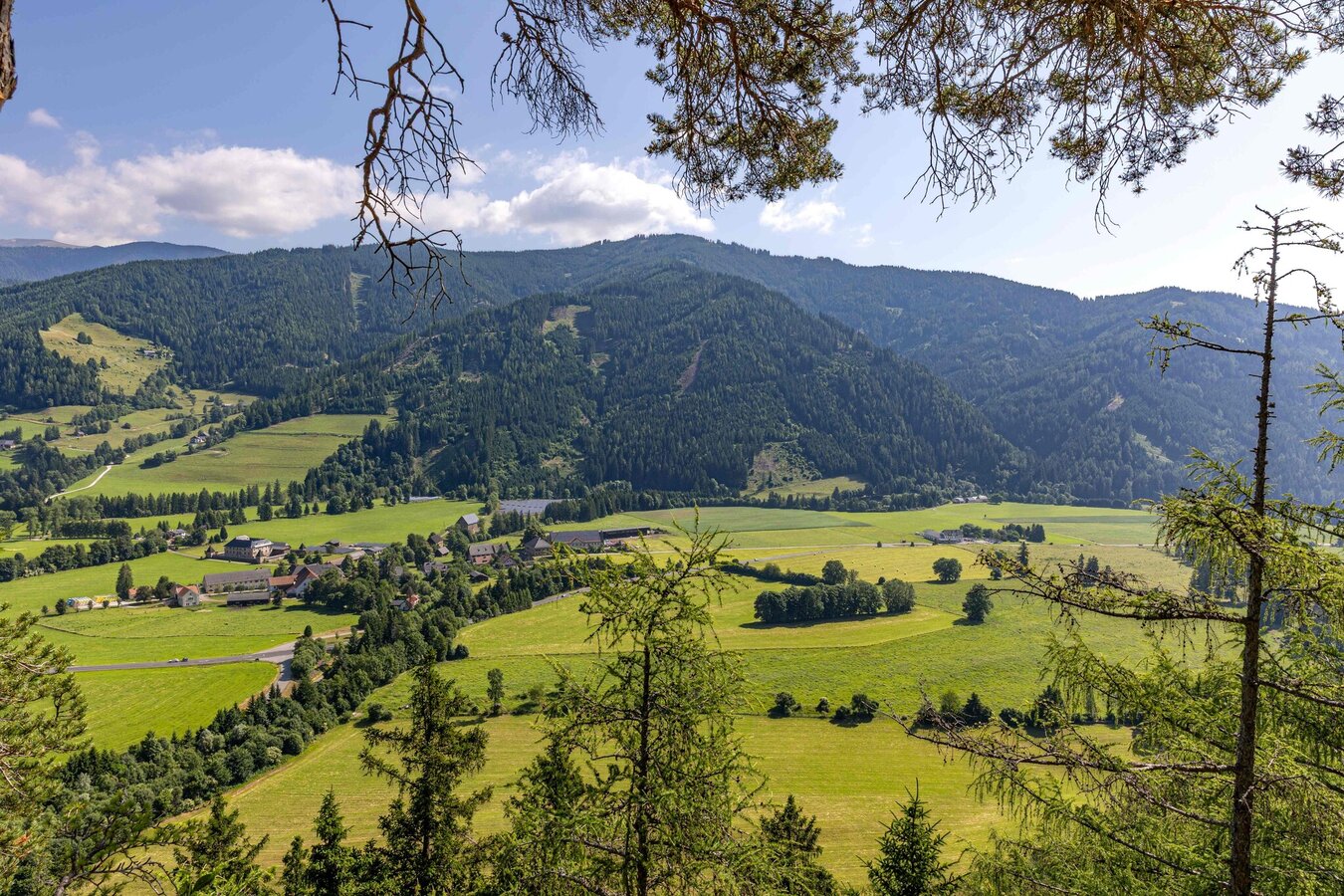
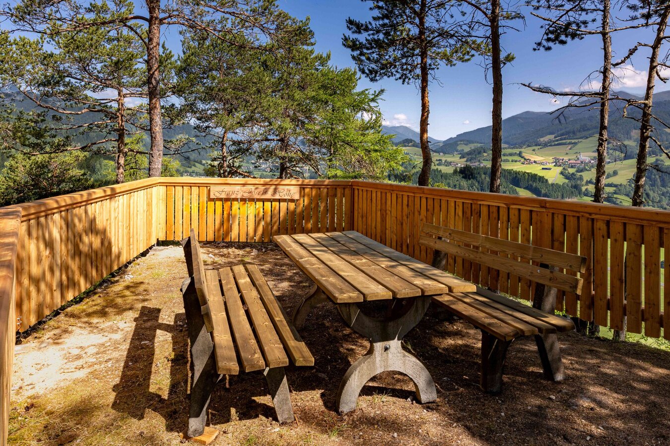
Our hike starts at the “Grüner Specht” inn and leads us first to St. Nicholas Church, from where we walk across the church square towards “Blahbach”. After crossing the stream, we follow Bachstraße in an easterly direction to the “Nagelschmiedkreuz”. We continue along Franz-Josef-Straße, past the biomass heating plant and through the “Pumperwaldl” forest park. The path now leads past a smallholding and a quarry and climbs slightly. We reach a path that takes us through an idyllic strip of forest to a meadow. At the beginning of this meadow, we recognize the farmstead vlg. Treffenthaler farm on the right. After the farmstead, the path continues in the direction of Franz-Josefs-Höhe until you reach a cell phone mast. Here we can either take a short detour to the Franz-Josefs-Höhe viewing platform or hike directly back down the forest path towards Oberzeiring. Passing the “Bründerl”, we return to the village center and the starting point of our tour, the “Grüner Specht” inn.
Best season
January
February
March
April
May
June
July
August
September
October
November
December
More information
By Car:
From Vienna (approx. 2.5 hours):
- Take the A2 motorway towards Graz.
- Switch to the S36 towards Judenburg.
- Take the B78 to Judenburg, then the B114 to Oberzeiring.
From Graz (approx. 1.5 hours):
- Take the A9 motorway towards Linz.
- Switch to the S36 towards Judenburg.
- Take the B78 to Judenburg, then the B114 to Oberzeiring.
From Salzburg (approx. 2.5 hours):
- Take the A10 motorway towards Villach.
- Take the B96 towards Tamsweg, then the B97 towards Murau.
- Take the B114 to Oberzeiring.
Parking spaces are available right next to the church on the market square.
We start in front of the “Grüner Specht” inn, walk past the entrance to St. Nicholas Church across the church square in the direction of “Blahbach”, cross it and continue along Bachstraße in an easterly direction to the “Nagelschmiedkreuz”. The route continues along Franz-Josef-Straße, past the biomass heating plant and the forest park (known as Pumperwaldl).
The path now leads past a smallholding and a quarry and climbs briefly. The path now joins a path that leads through an idyllic strip of forest and at the end of which you reach a meadow. At the beginning of the meadow, you can already see the farmstead vlg. Treffenthaler, our further route. We walk through the Treffenthaler and follow the path towards Franz-Josefs-Höhe and reach a cell phone mast. Now we can take a short detour to Franz-Josefs-Höhe or walk straight back down the forest path towards the village of Oberzeiring. We pass the Bründerl and can already see our starting point, the village center with the Nikolauskirche. We are already familiar with this section of the trail.
The path now leads past a smallholding and a quarry and climbs briefly. The path now joins a path that leads through an idyllic strip of forest and at the end of which you reach a meadow. At the beginning of the meadow, you can already see the farmstead vlg. Treffenthaler, our further route. We walk through the Treffenthaler and follow the path towards Franz-Josefs-Höhe and reach a cell phone mast. Now we can take a short detour to Franz-Josefs-Höhe or walk straight back down the forest path towards the village of Oberzeiring. We pass the Bründerl and can already see our starting point, the village center with the Nikolauskirche. We are already familiar with this section of the trail.
- Backpack with rain cover
- Telescopic / hiking poles
- Mountain / hiking boots
- Gloves: waterproof and warming
- Headgear / sunglasses
- Outerwear: Onion layer system, T-shirt, sweater, jacket and winter jacket with hood
- Hiking pants
- Seat pad
- Drinking bottle / thermos flask (on cooler days a warming drink is pleasant)
- Snack
- First aid kit with blister plaster and tick tongs
- Route descriptionDetailed
- plan of the hike
- Hiking map: For overview a map in scale 1 : 50 000 of the respective region
- GPS device
- cell phone
A visit to the Oberzeiring show mine is certainly exciting
Information on public transportation can be found at www.verbundlinie.at
More information at www.murtal.at/wandern
Map & downloads
Gallery
Treffenthalerrunde_Heidi Kainer.jpg | © Heidemaria Kainer | Heidemaria Kainer
1/4
Kirche Oberzeiring-Murtal-Steiermark | © Kath. Kirche Hl. St. Nikolaus Oberzeiring | Kath. Kirche Hl. St. Nikolaus Oberzeiring
2/4
franz-josef-hoehe-blick_katzling-poelstal-murtal-steiermark_c_hannes_steiner.jpg | © Hannes Steiner | Hannes Steiner
3/4
franz-josef-hoehe-poelstal-murtal-steiermark_c_hannes_steiner.jpg | © Hannes Steiner | Hannes Steiner
4/4

What the weather will be like Pölstal (918m)
Today, 26.10.2026
Sunny and cloudy periods will alternate throughout the day.Morning

1°C
sr.Regenwahrscheinlichkeit
90%
sr.Windstärke
5 km/h
Noon
9°C
sr.Regenwahrscheinlichkeit
20%
sr.Windstärke
5 km/h
Night

3°C
sr.Regenwahrscheinlichkeit
0%
sr.Windstärke
5 km/h
Tomorrow, 27.10.2026
Dry and partly sunny throughout the day, with cloudy periods from time to time.Morning
0°C
sr.Regenwahrscheinlichkeit
0%
sr.Windstärke
0 km/h
Noon
10°C
sr.Regenwahrscheinlichkeit
5%
sr.Windstärke
5 km/h
Night
5°C
sr.Regenwahrscheinlichkeit
5%
sr.Windstärke
0 km/h
Forecast
28.10.2026
2°C
13°C
29.10.2026
3°C
12°C
30.10.2026

1°C
12°C
