


Tremmelberg "Tower in the mountains" from Knittelfeld
Characteristics
SkillThe tour in numbers
Level of difficulty
medium
Route
11,8 km
Time
4:00 h
Uphill
544 hm
Downhill
543 hm
Highest point
1192 m
Many paths lead to the Tremmelberg, and the continuous ascent of this tour is very convincing.
From the city to the mountain - this is very well possible from Knittelfeld. At first glance, you would not guess that you can reach two beautiful hiking destinations in the Murtal region directly from Knittelfeld. On the one hand, there is the possibility to hike to Knittelfeld's local mountain, the 1670 m high Steinplan, and on the other hand, one can reach, via the long-distance hiking trail 02 (Hainburg to Feldkirch), the Tremmelberg, which is located in the north. Knittelfeld is very easy to reach by train, so the hike can be combined with a pleasant train journey. It is only a few minutes from the train station to the newly designed main square and then you are already at the starting point for this hike. The destination is the 42 m high observation tower "Turm im Gebirge", which was already built in 1999 (turnstile for ascent: 2 € fee, winter closure from November to March). From here you have a magnificent view of Knittelfeld and the surrounding mountains. Near the tower, in a clearing, is the Calvary Church, over which one could subsequently also hike on to Seckau.
Best season
January
February
March
April
May
June
July
August
September
October
November
December
More information
From St. Michael in Upper Styria via the Murtal expressway S36 (subject to toll sticker) to the exit "Knittelfeld-Ost"; at the first traffic circle follow the signs to the train station (25 km, approx. 20 minutes).
Parking at the station
From Judenburg via the Murtal expressway S36 (vignette required) to the exit "Knittelfeld-Ost"; continue as above. (22 km, approx. 20 minutes).
Parking at the station
We start from the train station or from the main square (1), 646 m, in Knittelfeld, which is only a few minutes walk away, and walk along Frauengasse to Kapuzinerplatz. At the crossroads turn right - a few meters along Kärntner Straße - and then turn immediately left, into Anton-Regner-Straße. Passing the building of the district administration, we come to a crossroads where we continue to the right. From now on you can see the yellow signposts "Tremmelberg - Seckau - Gaal" with the path number 02. After a few minutes we come to the beginning of the Brunnerkreuz avenue. We follow the linden and sycamore maple avenue slightly uphill, cross the highway overpass and reach the Braunikapelle (2), 688 m. We continue straight ahead on the road until we reach a forest road junction at the edge of the forest. From now on the trail leads continuously in the wooded area. A short stretch along the path and we reach a wide forest road, which we now follow for about 1 km. We orientate ourselves by the sign Kalvarienkirche and branch off to the left. The marked hiking trail leads along a climb, crosses a forest road, and ends on the access road to the farm vlg. Böcksteiner (3), 810 m. We hike past the farm in the immediate vicinity, continuing on the forest road until the trail branches off to the right in a left-hand bend. The turnoff is easily recognizable due to a large "Steinmandl". From now on we are more or less along a ridge - always uphill - until we come to a wide forest road. We keep to the right and also immediately see the entrance to the path. Since several paths are now trodden out, the orientation is also not clear due to the lack of markings. We go right along the ridge and see after this again the red-white-red marking. Over hollow paths we come again to a forest road. From now on we already have a nice view of our destination, the lookout tower "Turm im Gebirge". We now hike comfortably uphill, always following the forest road, until we have reached the height and now have only a few meters left to the observation tower at Tremmelberg (4), 1194 m, ahead of us. The descent is via the ascent route.
For a conflict-free coexistence on alpine pastures and meadows it is important to observe a few rules, especially when traveling with dogs. (Source: www.sichere-almen.at - 06/2021)
- Avoid contact with grazing animals, do not feed them, keep a safe distance!
- Keep calm, do not frighten grazing animals!
- Mother cows protect their calves. Avoid encounters between mother cows and dogs!
- Always keep dogs under control and on a short leash. If an attack by a grazing animal is foreseeable: Immediately unleash!
- Do not leave hiking trails on alpine pastures and meadows!
- If grazing animals block the way, avoid them as far as possible!
- When grazing animals approach: Stay calm, do not turn your back, avoid the animals!
- Leave the grazing area quickly at the first sign of restlessness of the animals!Fences must be respected!
- If there is a gate, use it, then close it well and cross the pasture quickly!
- Treat the people working here, nature and the animals with respect!
A few tips for correct and fair behavior in the forest: (Source: www.bundesforste.at - 6/2021)
- Hikers should avoid visits to the forest about 1.5 hours before sunrise and after sunset, as wildlife is especially active during this time.
- Plastic bottles, handkerchiefs, cigarette butts & Co have no place in the forest! Please make sure that you do not leave any trash in the forest.
- Camping and making fire - is strictly forbidden in the forest!
- In principle, each person is allowed to collect 2 kg of mushrooms and berries per day for personal use in the forest. It is only forbidden if the forest owner expressly forbids it.
Alpine emergency call:
Mountain rescue emergency number: 140
EU emergency number: 112
Weather service: www.zamg.ac.at
Direct link mountain weather Styria: https://www.zamg.ac.at/cms/de/wetter/produkte-und-services/bergwetter/steiermark
- Backpack with rain cover
- Telescopic / hiking poles
- Mountain / hiking boots
- Gloves: waterproof and warming
- Headgear / sunglasses
- Outerwear: Onion layer system, T-shirt, sweater, jacket and winter jacket with hood
- Hiking pants
- Seat pad
- Drinking bottle / thermos flask (on cooler days a warming drink is pleasant)
- Snack
- First aid kit with blister plaster and tick tongs
Other important equipment
- Route descriptionDetailed
- plan of the hike
- Hiking map: For overview a map in scale 1 : 50 000 of the respective region
- GPS device
- cell phone
A very nice variant is to continue the hike to Seckau. Whereby you have to plan the return trip in advance.
Entrance towers via a turnstile (2-euro coin). Winter closure from November to March.
The train station Knittelfeld is easy to reach by train and bus.
General information about public transport to the region: www.verbundlinie.at
Murtal Taxi, Tel.: +43 660 1018101, 8740 Zeltweg, www.murtal-taxi.at
Jausenstation am Tremmelberg, Tel.: +43 664 3383301, 8732 Seckau
Gasthof Bachwirt, Tel.: +43 3512 85706, Sachendorfergasse 2, 8720 Knittelfeld, www.bachwirt.at
Paul`s Hotel, Tel.: +43 3512 72200-0, Kapuzinerplatz 9, 8720 Knittelfeld, www.pauls-hotel.at
Cafe Lipizzaner, Tel.: +43 3512 44266, Herrengasse 23, 8720 Knittelfeld, www.cafe-lipizzaner.at
La Veneta, Tel.: +43 664 5611008, Herrengasse 23, 8720 Knittelfeld, www.laveneta.at
Freytag & Berndt (2017): Seetaler Alpen, Seckauer Alpen, Judenburg, Knittelfeld. WK 212 Wander-, Rad-, Freizeitkarte; 1 : 50 000You can also find this tour on the following hiking map:
You can also find more information about the region on - www.murtal.at
C. und M. Hlatky, (2017): Murtal – Rund um Spielberg – Seetaler Alpen und Seckauer Alpen. Kral Verlag, S. 160Map & downloads
Gallery
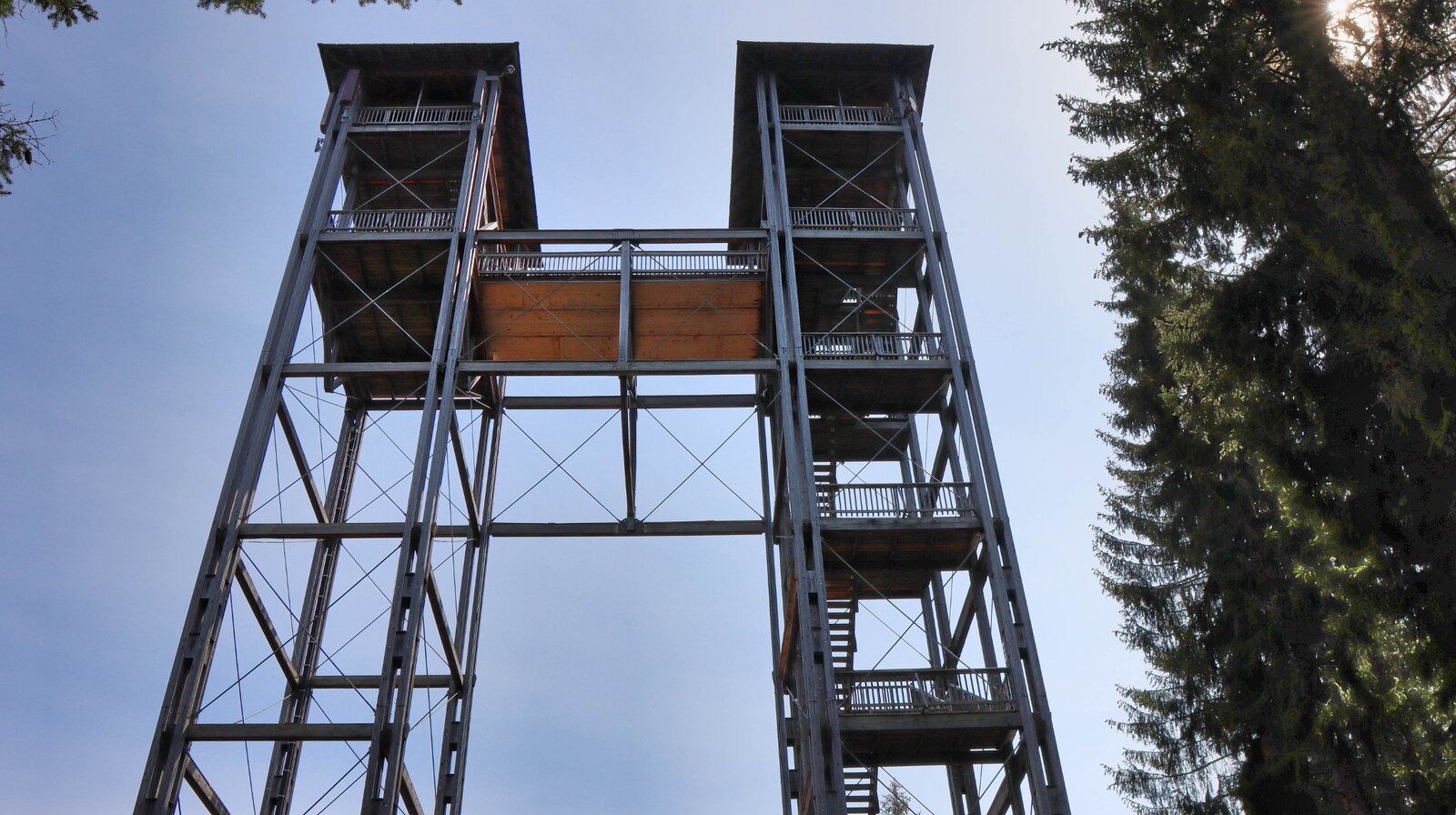
Die Türme am Tremmelberg | © Weges OG | Weges OG
1/16
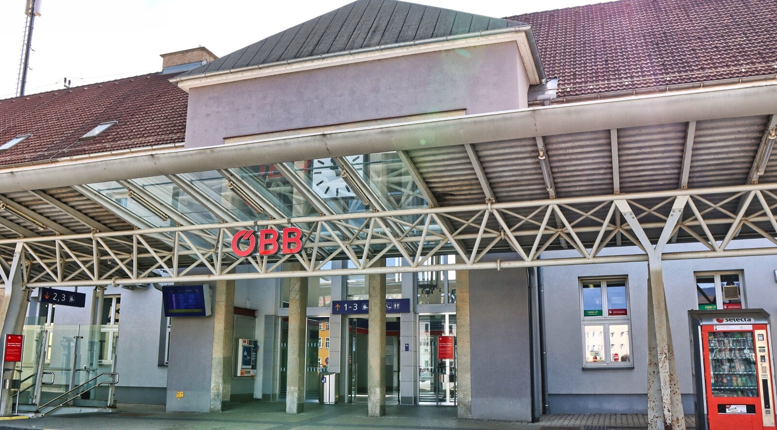
Bahnhof Knittelfeld | © Weges OG | Weges OG
2/16
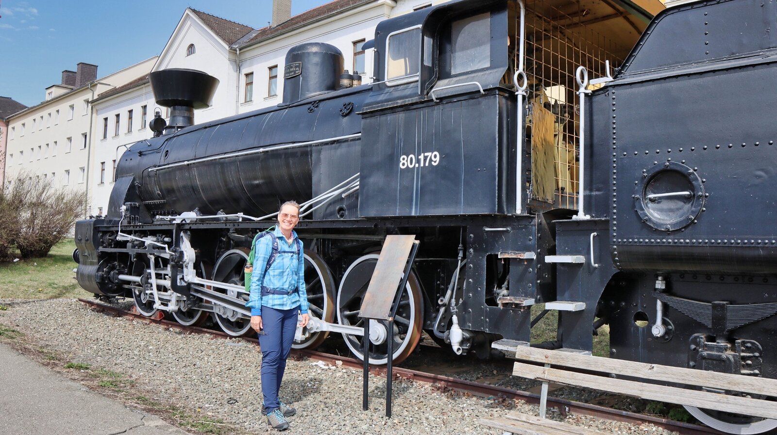
Knittelfeld - eine Eisenbahnstadt | © Weges OG | Weges OG
3/16
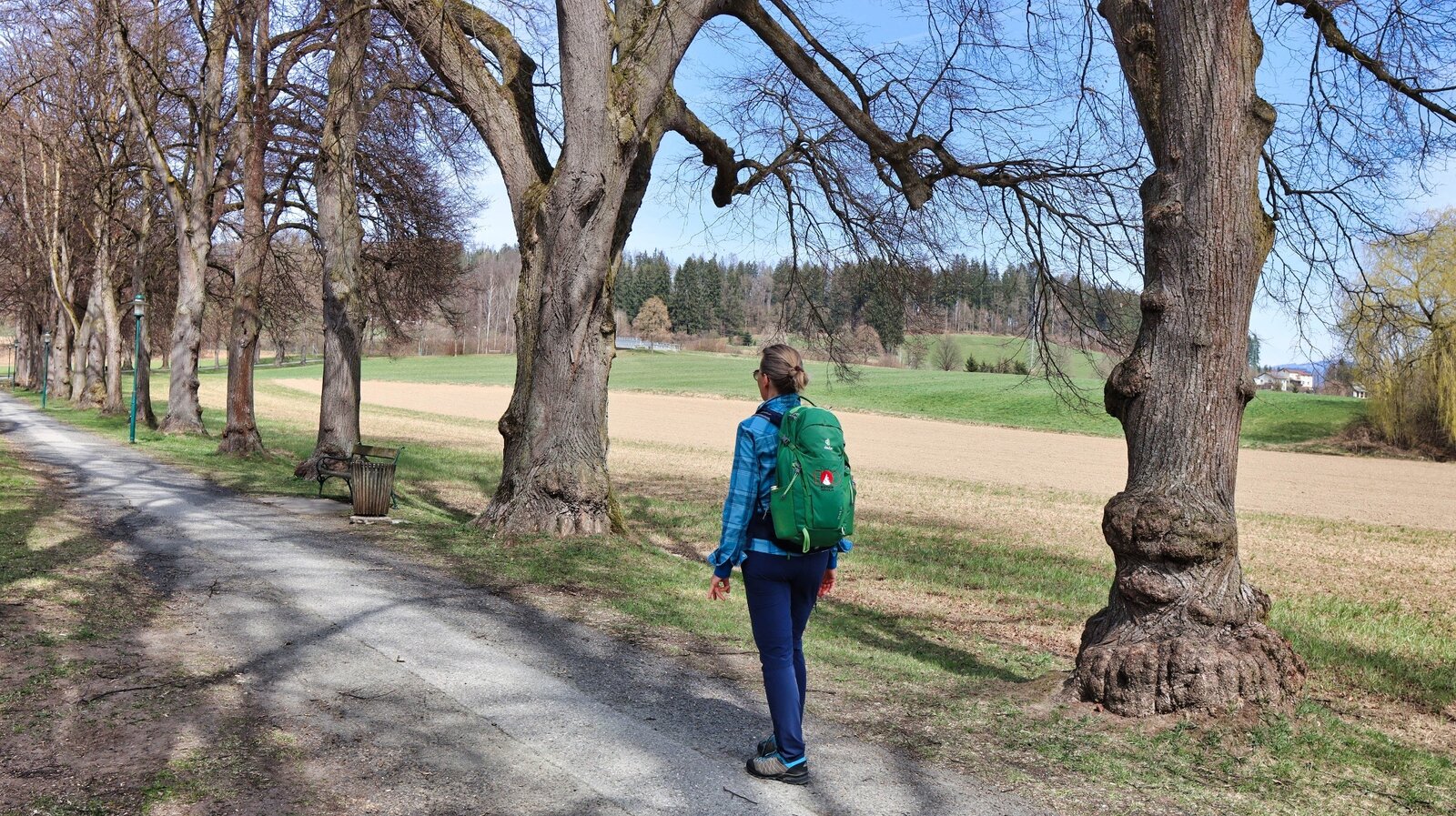
Brunner Kreuz Allee | © Weges OG | Weges OG
4/16
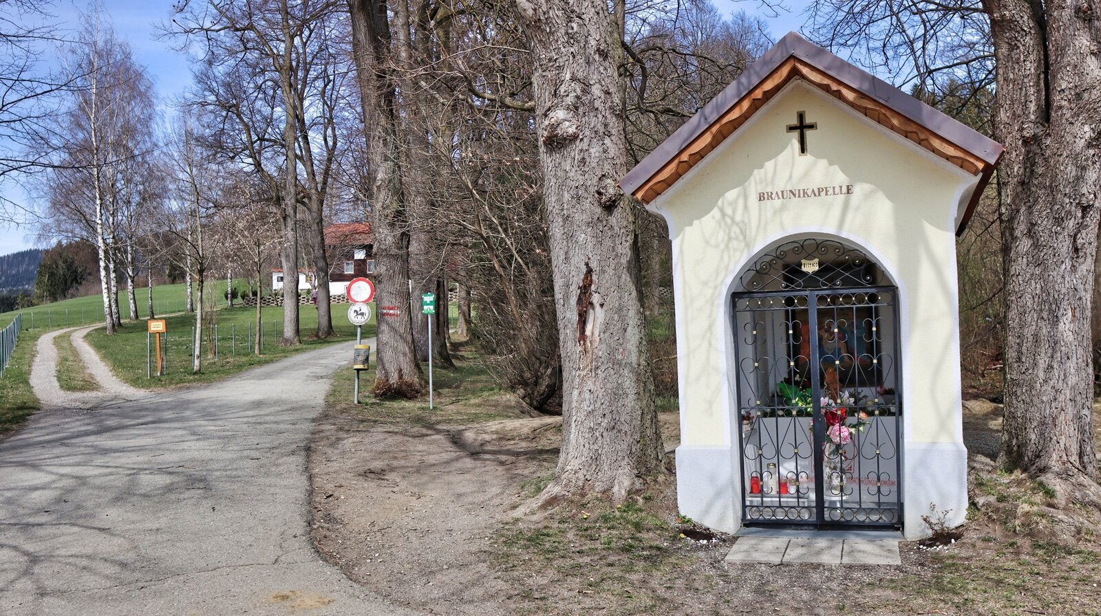
Die Braunikapelle | © Weges OG | Weges OG
5/16
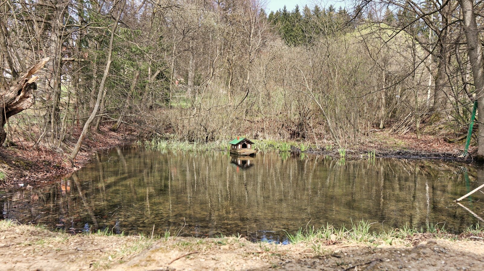
Kleiner Teich hinter der Kapelle | © Weges OG | Weges OG
6/16
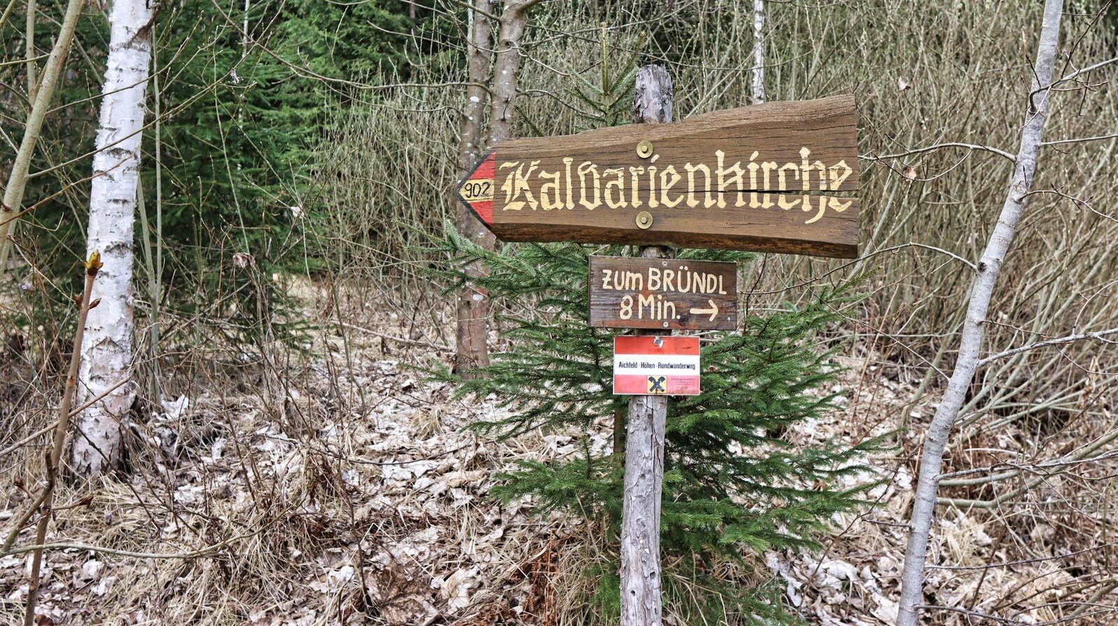
Wegweiser am Weg | © Weges OG | Weges OG
7/16
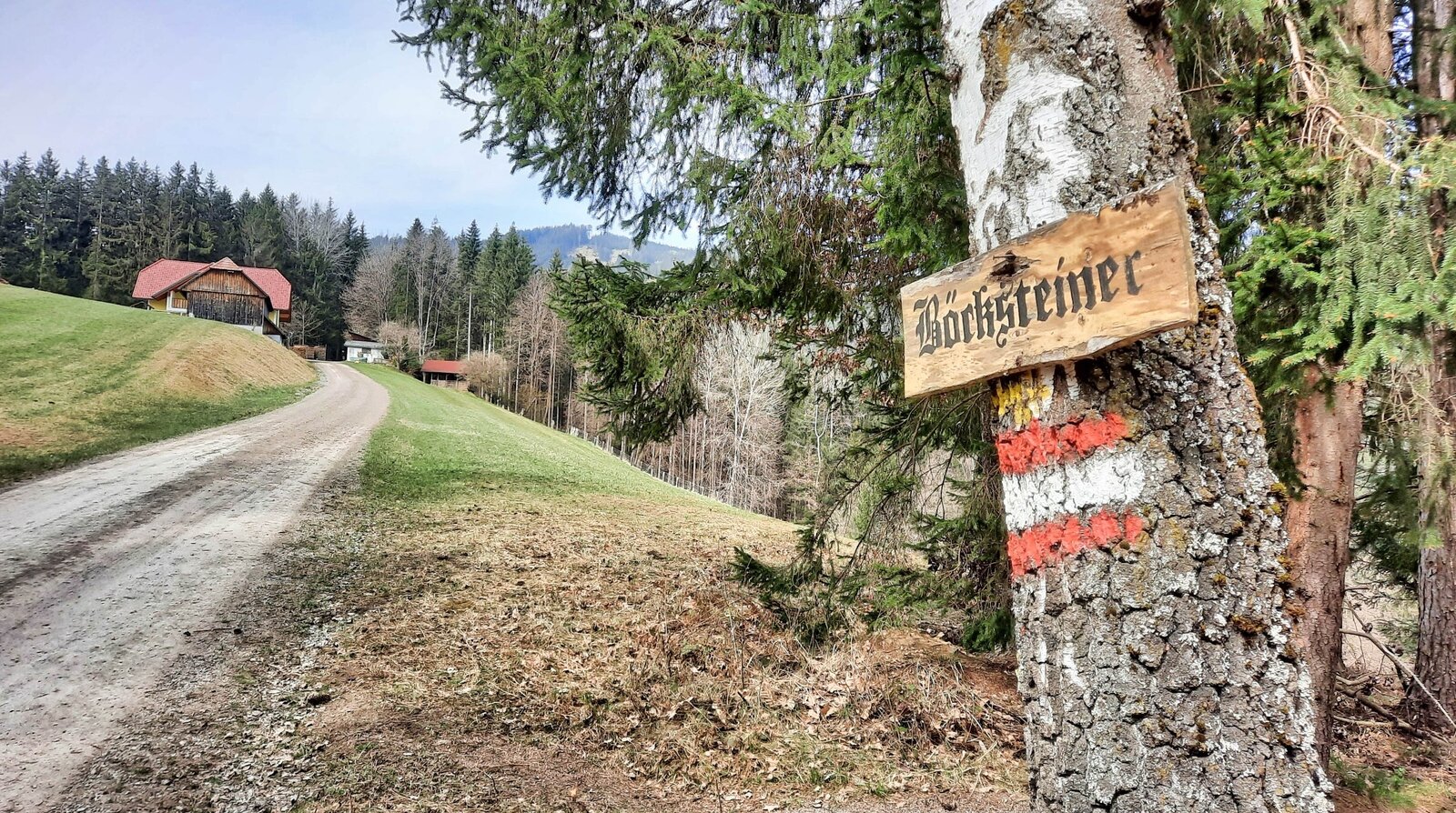
Bauernhof vlg. Böcksteiner | © Weges OG | Weges OG
8/16
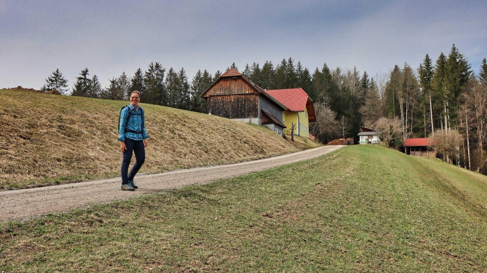
Wir wandern beim vlg. Böcksteiner vorbei | © Weges OG | Weges OG
9/16
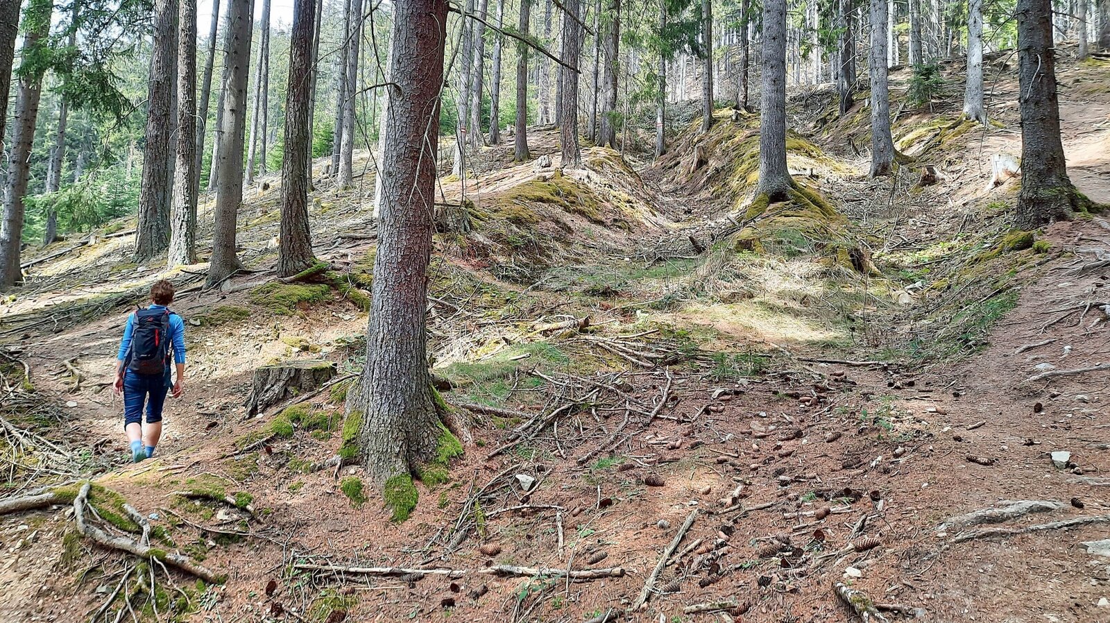
Aufstieg durch den Wald | © Weges OG | Weges OG
10/16
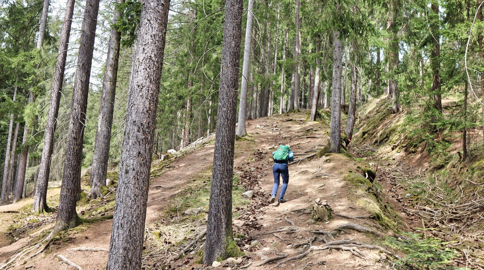
Aufstieg durch den Wald | © Weges OG | Weges OG
11/16
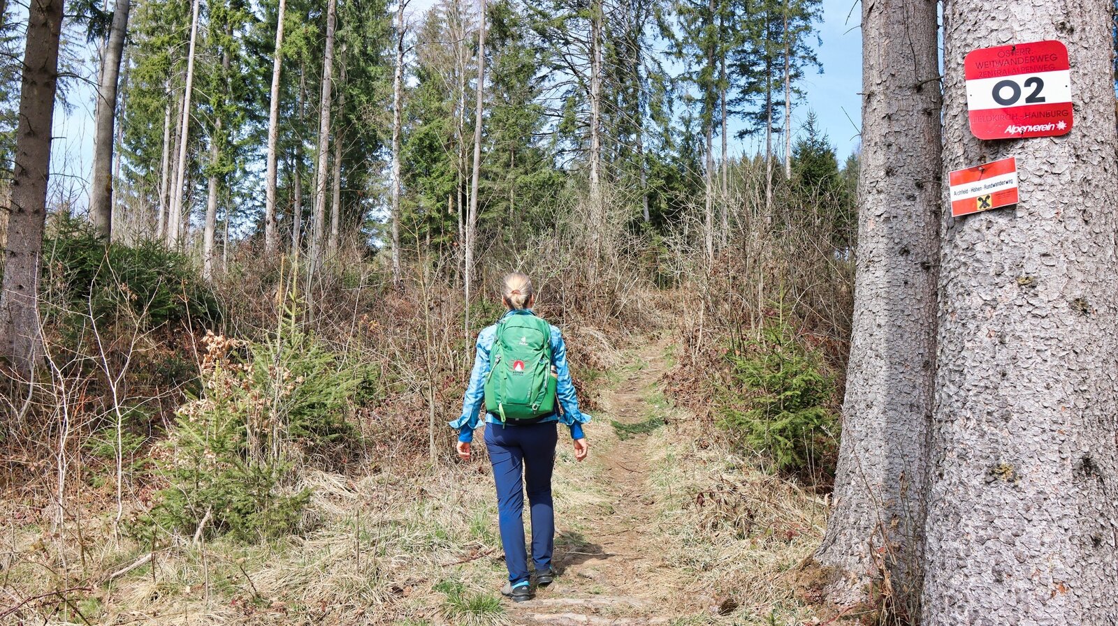
Gut markiert wandern wir entlang des 02er Weitwanderweg | © Weges OG | Weges OG
12/16
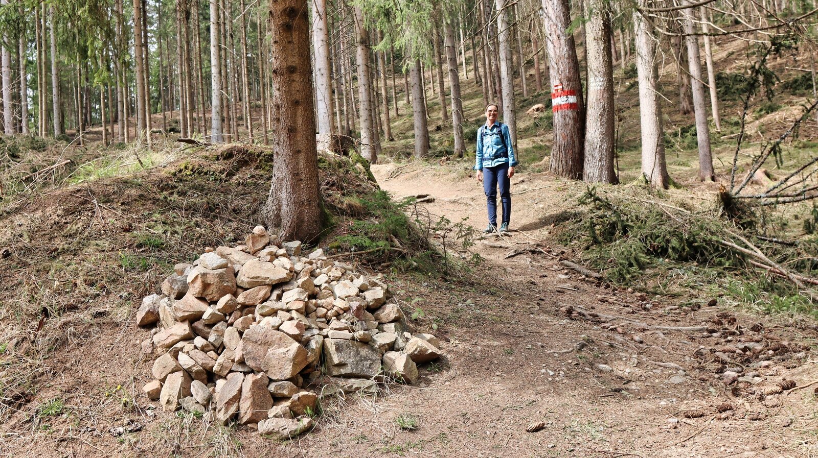
Steinmanderl am Weg | © Weges OG | Weges OG
13/16
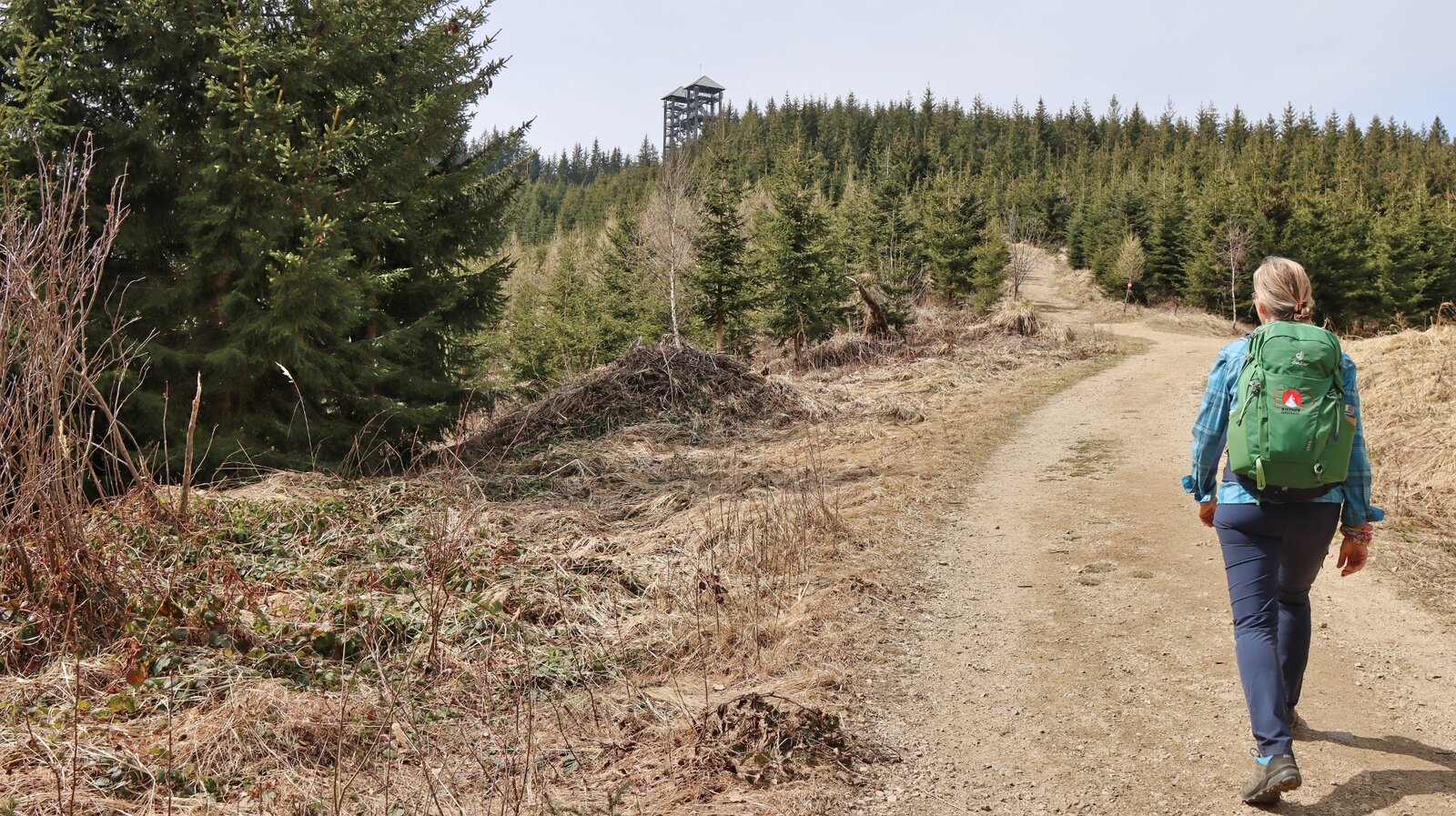
Wir sehen bereits unser Ziel - die Türme | © Weges OG | Weges OG
14/16
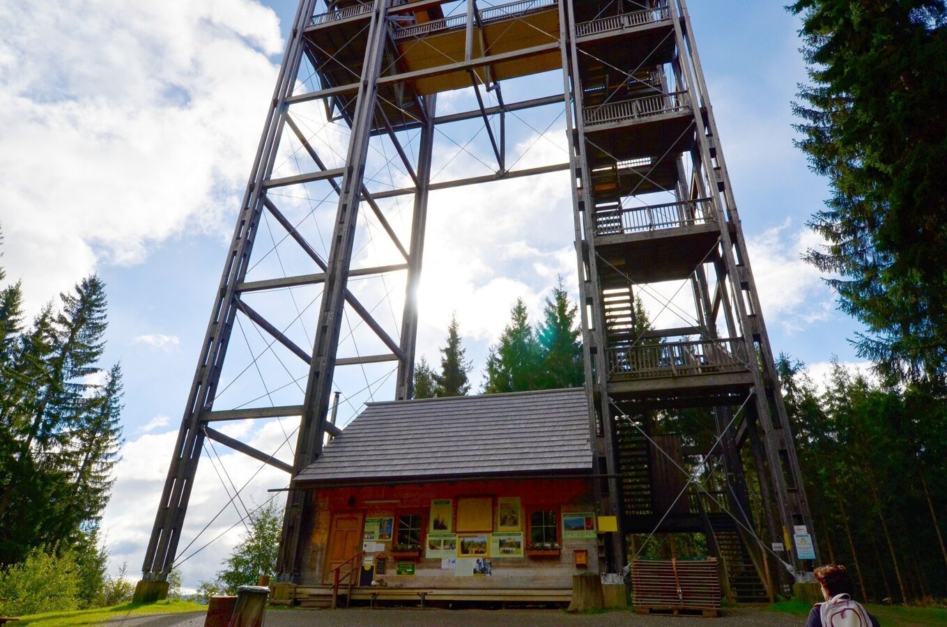
Der Turm mit der integrierten Jausenstation | © Erlebnisregion Murtal | Anita Fössl
15/16
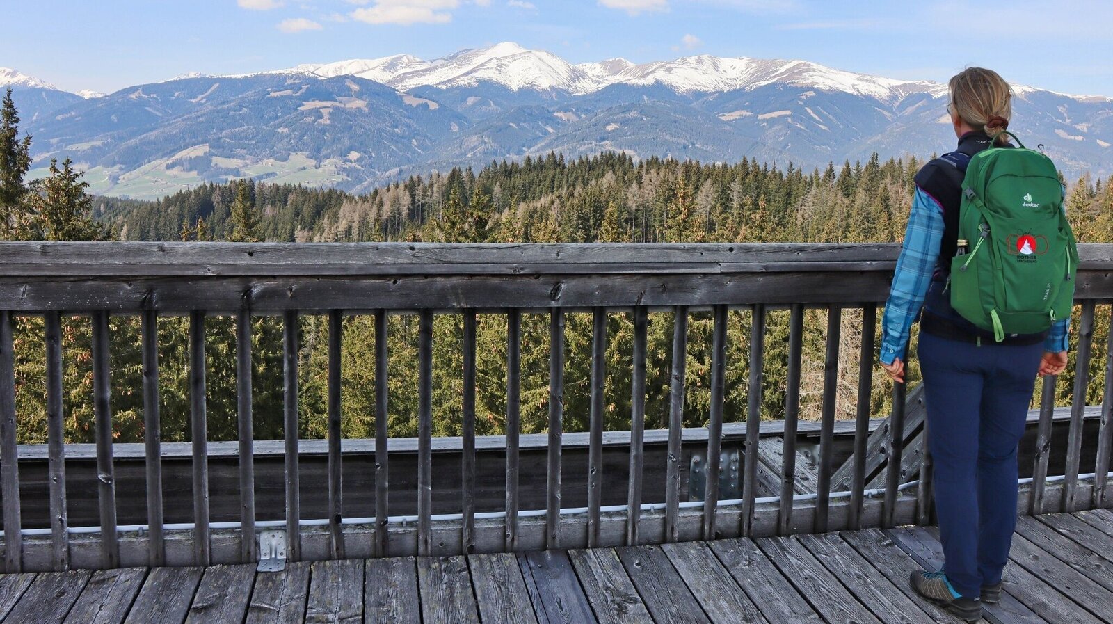
Aussicht am Turm | © Weges OG | Weges OG
16/16

What the weather will be like Knittelfeld (645m)
Today, 16.10.2026
Some clouds in the morning, lateron much sunshine and hardly any cloudsMorning

5°C
sr.Regenwahrscheinlichkeit
0%
sr.Windstärke
0 km/h
Noon

15°C
sr.Regenwahrscheinlichkeit
0%
sr.Windstärke
5 km/h
Night
9°C
sr.Regenwahrscheinlichkeit
0%
sr.Windstärke
0 km/h
Tomorrow, 17.10.2026
Dry and partly sunny throughout the day, with cloudy periods from time to time.Morning
4°C
sr.Regenwahrscheinlichkeit
0%
sr.Windstärke
0 km/h
Noon

15°C
sr.Regenwahrscheinlichkeit
0%
sr.Windstärke
5 km/h
Night
11°C
sr.Regenwahrscheinlichkeit
0%
sr.Windstärke
0 km/h
Forecast
18.10.2026
7°C
16°C
19.10.2026
6°C
16°C
20.10.2026
6°C
15°C
