


Tremmelberg "Tower in the Mountains" above Vorder-Tremmel
Characteristics
SkillThe tour in numbers
Level of difficulty
easy
Route
9,4 km
Time
3:30 h
Uphill
500 hm
Downhill
500 hm
Highest point
1194 m
A leisurely hike along forest roads to the towers.
The hike to the Tremmelberg via the farm vlg. Vorder-Tremmel is an easy tour, which is led exclusively over forest roads. It climbs steadily to the 1194 m high Tremmelberg. When you reach the highest point, you will see the 42 m high observation tower "Turm im Gebirge" in the middle of the forest on a small clearing. From here you have a magnificent view of the Judenburg-Knittelfeld basin and the surrounding mountains of the Seckau Alps, the Styrian Randgebirge and the Seetal Alps. The tower measures 42 meters in height, with the top viewing platform at 36 meters, which can be reached via 202 steps (turnstile for ascent: €2 fee, winter closure from November to March). In 1999, the tower, which cost around six million shillings and was awarded the "German Architecture Prize" and the "Styrian Timber Construction Prize", was completed. At the opening ceremony on May 24, 1999, about 8000 people hiked up the Tremmelberg to witness this special day. Then as now, the Tremmelberg with the "Tower in the Mountains" is a popular hiking destination.
Best season
January
February
March
April
May
June
July
August
September
October
November
December
More information
From St. Michael in Upper Styria via the Murtal highway S36 (vignette required) to the exit "Knittelfeld-West"; continue via Sachendorf (direction Gaal) to the clearly visible parking lot at the end of the village (27 km, approx. 20 minutes).
Large parking lot at the edge of the forest in Sachendorf
From Judenburg via the Murtal Schnellstraße S36 ("vignette" required) to the exit "Knittelfeld-West"; continue as above. (19 km, approx. 20 minutes).
Large parking lot at the edge of the forest in Sachendorf
At the Sachendorf parking lot (1), 697 m, we follow the asphalt road, past the meadows and fields, slightly uphill. After a few minutes we reach a few houses and come to the junction (2), 715 m, of the hiking trails "Temmelberg via Wolfsgrube" and "Tremmelberg via Vorder-Tremmel". We keep to the left and follow the wide forest road uphill for about 3.2 km, always staying on the clearly recognizable main trail, which leads to the farm vlg. Vorder-Tremmel (3), 1040 m. The hiking trail passes just above the farm and offers a wonderful view of the Judenburg-Knittelfeld basin in this section. Back in the forest, a forest road branches off to the right. We follow this and pass a red barrier and subsequently a wooden barn. Shortly after, we reach a fenced crossroads, which we pass on the right. From now on the steeper part of this hike begins. We follow the narrow gravel road that leads in a line uphill. Only shortly before our destination does the road join the wide forest road, which is also used as a private access road for the Tremmelberg. Here we turn left and follow the road that leads slightly uphill to Tremmelberg (4), 1194m. The way back is the same as the ascent route. A steeper descent alternative runs via the Wolfsgrube (see Tremmelberg hike via Wolfsgrube).
For a conflict-free coexistence on alpine pastures and meadows it is important to observe a few rules, especially when traveling with dogs. (Source: www.sichere-almen.at - 06/2021)
- Avoid contact with grazing animals, do not feed them, keep a safe distance!
- Keep calm, do not frighten grazing animals!
- Mother cows protect their calves. Avoid encounters between mother cows and dogs!
- Always keep dogs under control and on a short leash. If an attack by a grazing animal is foreseeable: Immediately unleash!
- Do not leave hiking trails on alpine pastures and meadows!
- If grazing animals block the way, avoid them as far as possible!
- When grazing animals approach: Stay calm, do not turn your back, avoid the animals!
- Leave the grazing area quickly at the first sign of restlessness of the animals!Fences must be respected!
- If there is a gate, use it, then close it well and cross the pasture quickly!
- Treat the people working here, nature and the animals with respect!
A few tips for correct and fair behavior in the forest: (Source: www.bundesforste.at - 6/2021)
- Hikers should avoid visits to the forest about 1.5 hours before sunrise and after sunset, as wildlife is especially active during this time.
- Plastic bottles, handkerchiefs, cigarette butts & Co have no place in the forest! Please make sure that you do not leave any trash in the forest.
- Camping and making fire - is strictly forbidden in the forest!
- In principle, each person is allowed to collect 2 kg of mushrooms and berries per day for personal use in the forest. It is only forbidden if the forest owner expressly forbids it.
Alpine emergency call:
Mountain rescue emergency number: 140
EU emergency number: 112
Weather service: www.zamg.ac.at
Direct link mountain weather Styria: https://www.zamg.ac.at/cms/de/wetter/produkte-und-services/bergwetter/steiermark
- Backpack with rain cover
- Telescopic / hiking poles
- Mountain / hiking boots
- Gloves: waterproof and warming
- Headgear / sunglasses
- Outerwear: Onion layer system, T-shirt, sweater, jacket and winter jacket with hood
- Hiking pants
- Seat pad
- Drinking bottle / thermos flask (on cooler days a warming drink is pleasant)
- Snack
- First aid kit with blister plaster and tick tongs
Other important equipment
- Route descriptionDetailed
- plan of the hike
- Hiking map: For overview a map in scale 1 : 50 000 of the respective region
- GPS device
- cell phone
For a circular hike, you can hike to Sachendorf via the steeper descent over the Wolfsgrube.
Entrance towers via a turnstile (2-euro coin). Winter closure from November to March.
The starting point in Sachendorf is easy to reach by bus (bus stop "Sachendorf Abzw Maßweg", from there 15 minutes walk). The nearest train station is in Knittelfeld.
General information about public transportation in the region: www.verbundlinie.at
Murtal Taxi, Tel.: +43 660 1018101, 8740 Zeltweg, www.murtal-taxi.at
Cab Jäger, Tel.: +43 3512 44833, 8720 Knittelfeld
Cab Steiner, Tel.: +43 3512 71718, 8720 Knittelfeld
You can also find this tour on the following hiking map:
You can also find more information about the region on - www.murtal.at
reytag & Berndt (2017): Seetaler Alpen, Seckauer Alpen, Judenburg, Knittelfeld. WK 212 Wander-, Rad-, Freizeitkarte; 1 : 50 000Map & downloads
Gallery
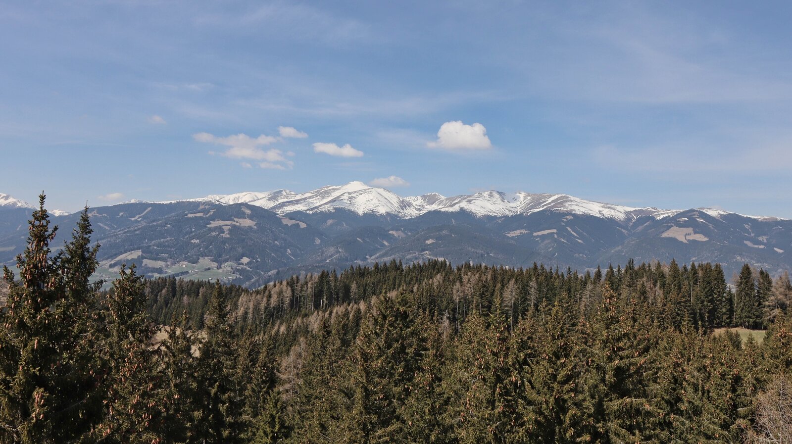
Wir genießen die Aussicht von den Türmen | © Weges OG | Weges OG
1/13
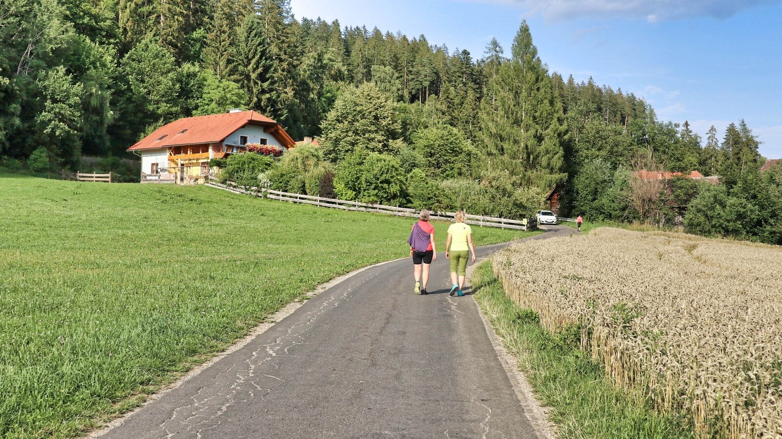
Beim Parkplatz wandern wir gemütlich weg | © Weges OG | Weges OG
2/13
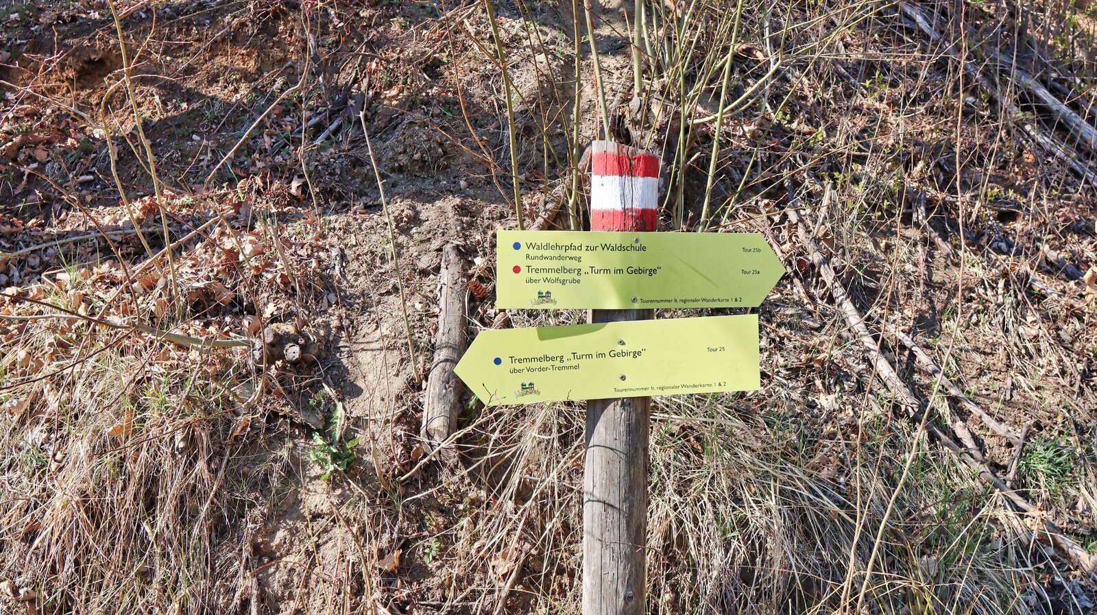
Bald am Beginn führen die Wege auseinander | © Weges OG | Weges OG
3/13
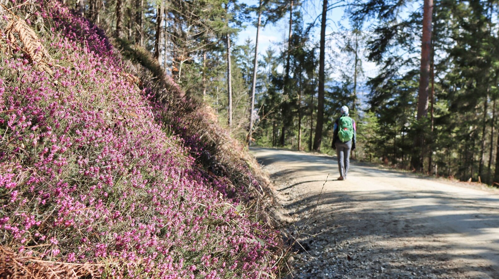
Erikablüte am Weg im Frühling | © Weges OG | Weges OG
4/13
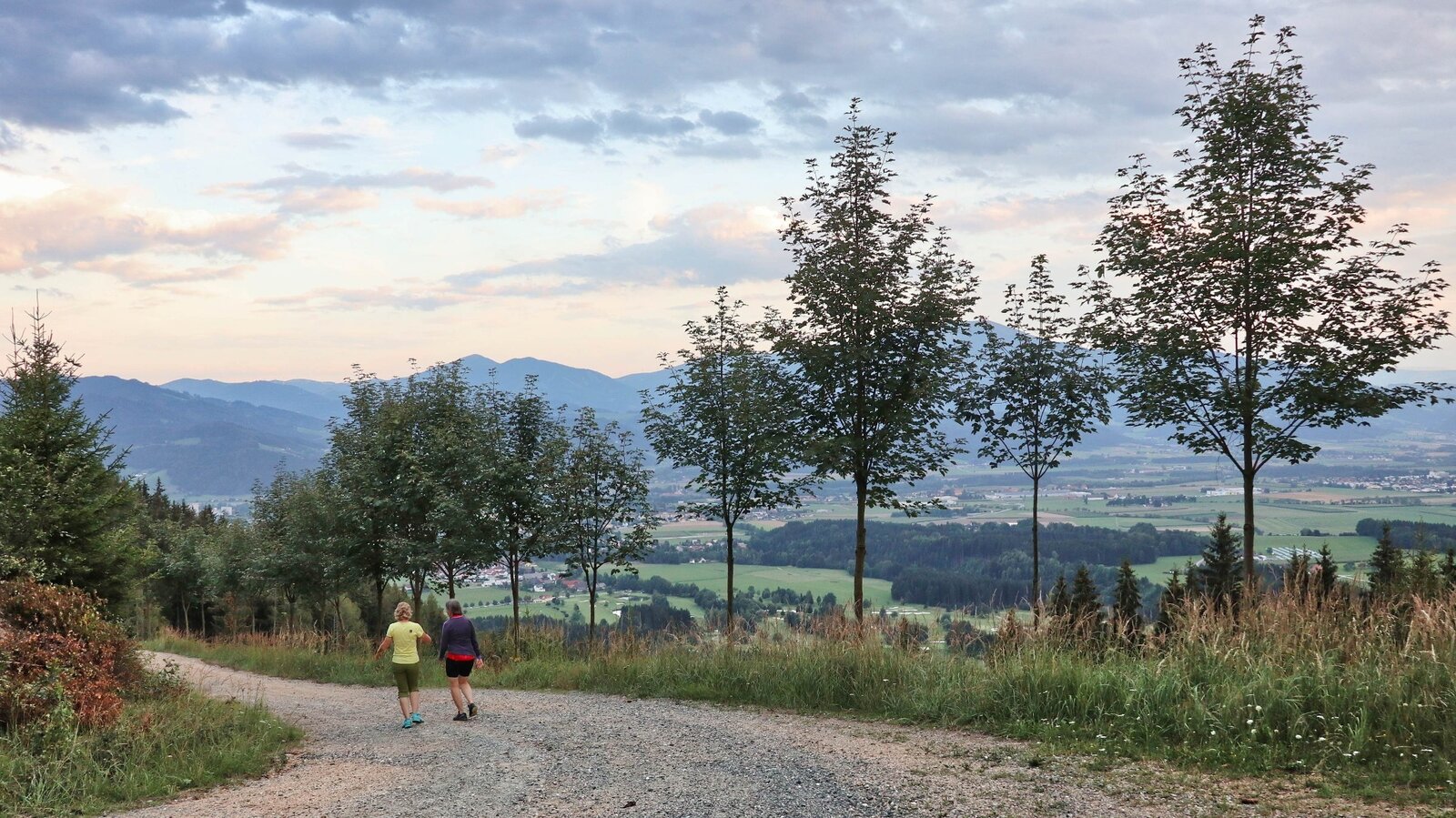
Stimmung und Aussicht am Weg | © Weges OG | Weges OG
5/13
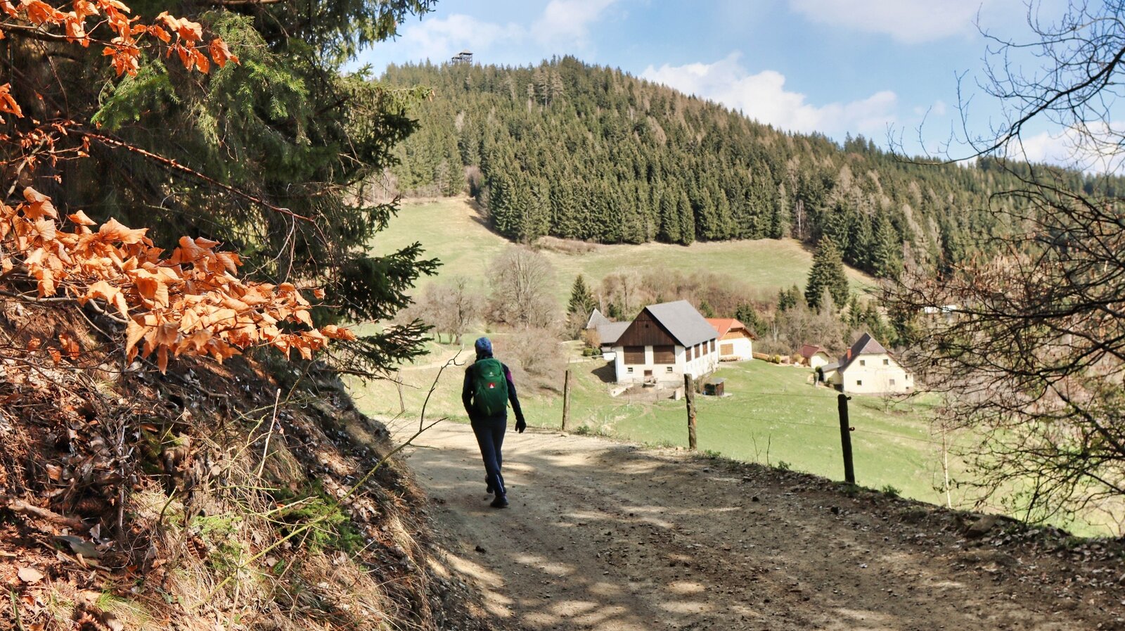
Ausblick zum Vordertremmel | © Weges OG | Weges OG
6/13
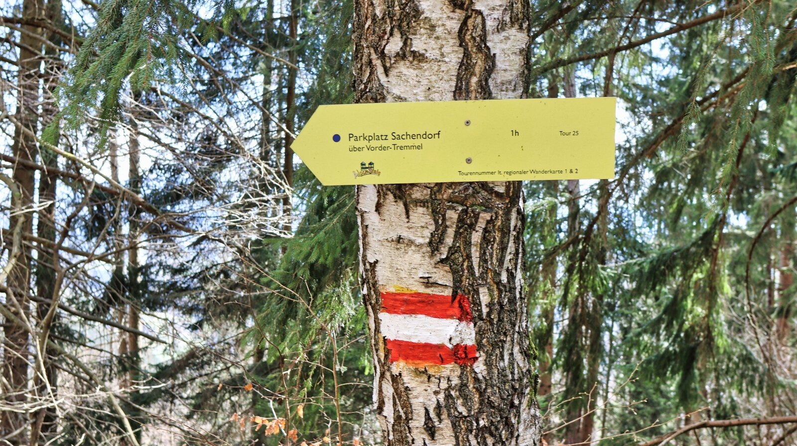
Gut markierte Wegkreuzungen | © Weges OG | Weges OG
7/13
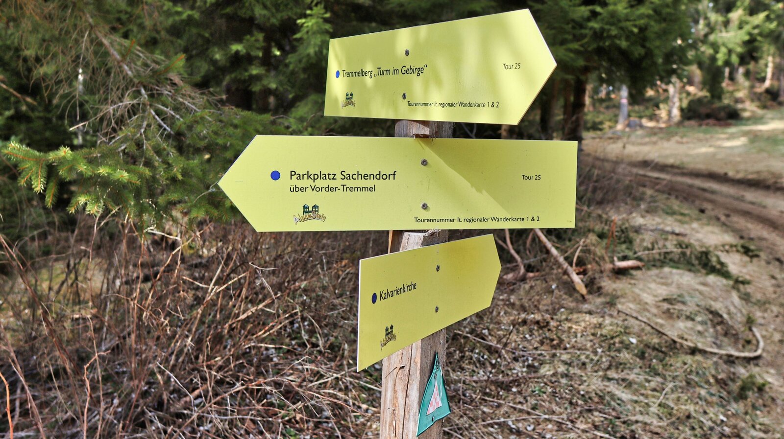
Kurz vor unserem Ziel | © Weges OG | Weges OG
8/13
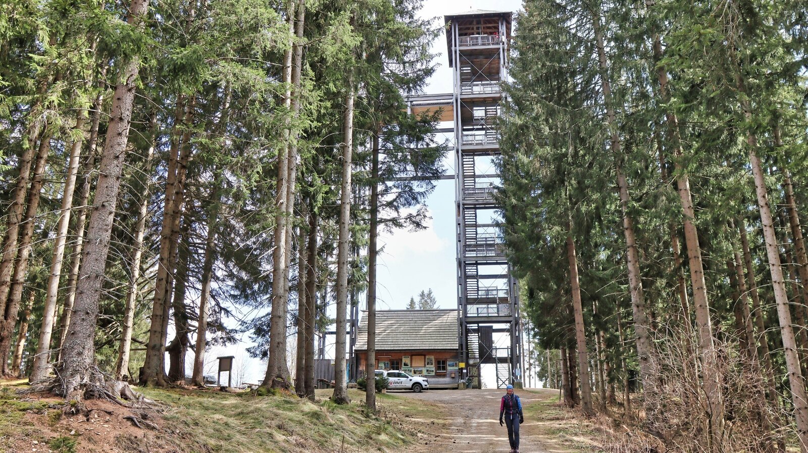
Ziel erreicht - die Türme am Tremmelberg | © Weges OG | Weges OG
9/13
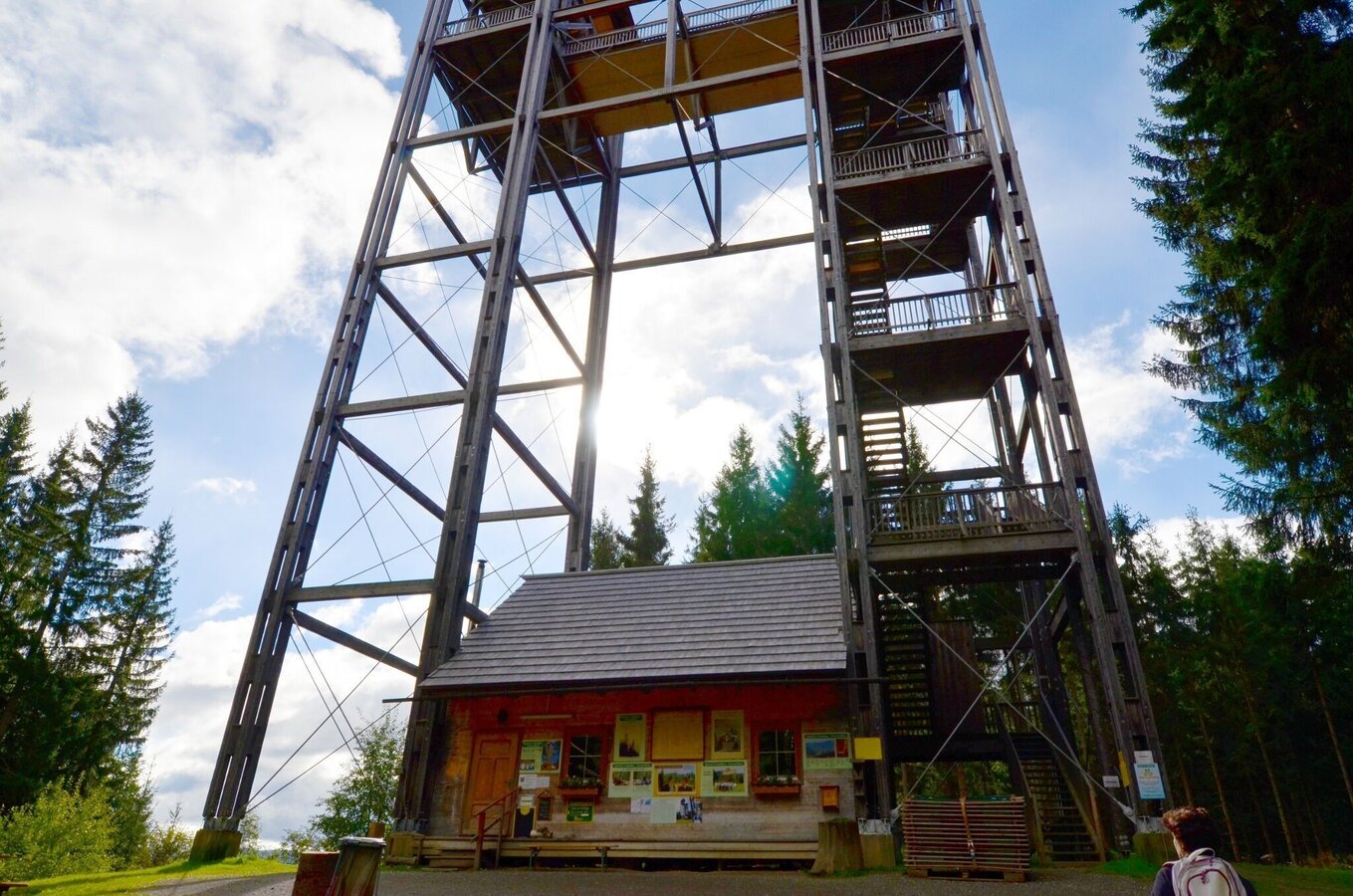
Der Turm mit der integrierten Jausenstation | © Erlebnisregion Murtal | Anita Fössl
10/13
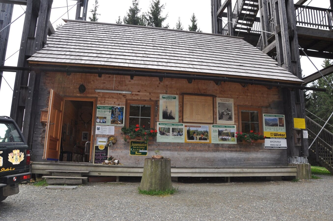
tremmelberg "turm im gebirge" über vorder-tremmel_img_10893095 | © Erlebnisregion Murtal | Team Erlebnisregion Murtal
11/13
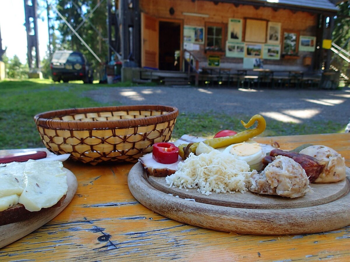
tremmelberg "turm im gebirge" über vorder-tremmel_img_22827300 | © Erlebnisregion Murtal | Manuela Machner
12/13
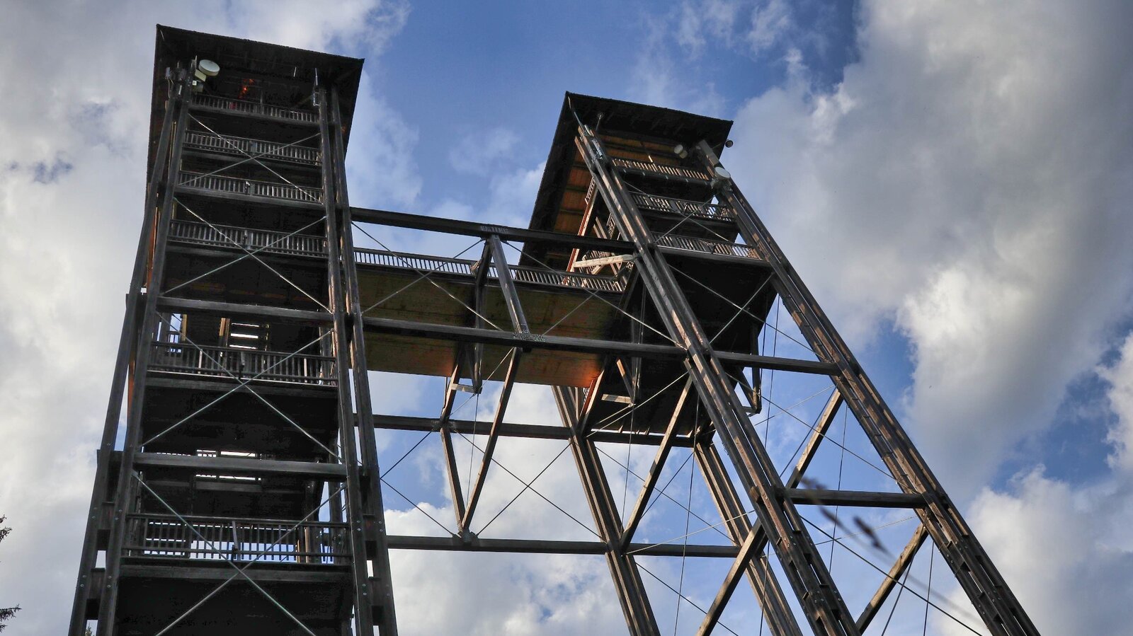
Turm im Gebirge | © Erlebnisregion Murtal | Manuela Machner
13/13

What the weather will be like Spielberg (663m)
Today, 10.10.2026
Sunshine and cloudiness will alternate throughout the day. A chance of showers towards evening.Morning

5°C
sr.Regenwahrscheinlichkeit
0%
sr.Windstärke
5 km/h
Noon

14°C
sr.Regenwahrscheinlichkeit
10%
sr.Windstärke
5 km/h
Night

11°C
sr.Regenwahrscheinlichkeit
85%
sr.Windstärke
5 km/h
Tomorrow, 11.10.2026
Dry and partly sunny throughout the day, with cloudy periods from time to time.Morning
7°C
sr.Regenwahrscheinlichkeit
5%
sr.Windstärke
0 km/h
Noon

14°C
sr.Regenwahrscheinlichkeit
10%
sr.Windstärke
5 km/h
Night
10°C
sr.Regenwahrscheinlichkeit
40%
sr.Windstärke
5 km/h
Forecast
12.10.2026
4°C
15°C
13.10.2026

2°C
15°C
14.10.2026
2°C
16°C
