


Partially opened
Steinplan via Oberkamper
Characteristics
SkillThe tour in numbers
Level of difficulty
medium
Route
15,3 km
Time
5:15 h
Uphill
910 hm
Downhill
910 hm
Highest point
1670 m
A hike for the whole year - summer, winter, ALWAYS! An attractive hike with mountain boots and a very special experience with snowshoes!
An attractive hike to the 1670 m high panoramic and local mountain of Knittelfeld, starting from Kleinlobming. A small mountain with great views of the Seetal, Wölz and Seckau Alps, as far as the Graz and Leibnitz basins. The Steinplan can be hiked from many sides and offers a worthwhile destination in the form of the Steinplan Schutzhaus, which is located near the summit cross. The softly shaped landscape, with alternating forest and meadow areas and the houses and farmsteads embedded in them, is perfect for an enjoyable hike. This tour can also be planned as a circular hike by descending via the sunny side (see tour 47a). If you like snowshoeing, you should take a look at this hike in summer and definitely plan it for winter.
Best season
January
February
March
April
May
June
July
August
September
October
November
December
More information
From St. Michael in Upper Styria via the Murtal expressway S36 (toll sticker required) to Knittelfeld (24 km, approx. 20 minutes) and on to Kleinlobming (35 km in total, approx. 30 minutes).
Parking lot in the center of Kleinlobming
From Judenburg via country roads to Kleinlobming (20 km, approx. 30 minutes)
Parking lot in the center of Kleinlobming
From the village center in Kleinlobming (1), 759 m, we walk along the asphalt road into the valley. We follow the red-white-red markings with trail no. 525 in the direction of Naturfreundehaus Steinplan. After approx. 700 m, we pass the former Glatz inn and keep left at the next junction. Past the parking lot (2), 820 m, we continue slightly uphill to the crossroads, where we turn right towards Oberkamper. After approx. 700 m, we see a yellow signpost on the left-hand side with the inscription "Naturfreundehaus Steinplan 1670 m", which is attached directly to a rock face. Here we leave the road and hike the next 2.5 kilometers continuously slightly uphill, whereby we can orient ourselves well on the forest path along the stream. After passing a small wooden house on the right-hand side, we continue straight ahead for the time being and then follow the main path, which now bends to the left. We soon have a beautiful view of the Seetal Alps and the Grössing and Amering peaks. We slowly leave the wooded areas and reach the meadows with great views and the Oberkamper organic farm (3) at 1210 m above sea level. A yellow hiking sign right next to the house shows us the direction. Now we hike slightly to the right up across the meadow to the fence, where there is also a wooden cross. Continue slightly diagonally up to the left until you reach the next house and farm (Stadlmoaralm). First turn left past the buildings and then immediately right uphill. Now we keep in a line uphill, through sparse forest stands, then across an open alpine pasture until we reach a fence (4), 1380 m, and a forest road. We follow the road uphill until we see the start of the hiking trail on the left-hand side. Continue across the alpine pasture and then gently uphill through the forest. Shortly before our destination, the well-marked and signposted path comes to an open alpine pasture again, which we now follow in a line - slightly steeper uphill. Once we reach the ridge, we can see the summit cross of Steinplan (5), 1670 m, on the left. The Naturfreunde Schutzhaus is located near the summit cross. The descent is via the ascent route, whereby a worthwhile descent variant is the route via the sunny side to Kleinlobming (see hike 47a according to the regional hiking map)
For a conflict-free coexistence on alpine pastures and meadows it is important to observe a few rules, especially when traveling with dogs. (Source: www.sichere-almen.at - 06/2021)
- Avoid contact with grazing animals, do not feed them, keep a safe distance!
- Keep calm, do not frighten grazing animals!
- Mother cows protect their calves. Avoid encounters between mother cows and dogs!
- Always keep dogs under control and on a short leash. If an attack by a grazing animal is foreseeable: Immediately unleash!
- Do not leave hiking trails on alpine pastures and meadows!
- If grazing animals block the way, avoid them as far as possible!
- When grazing animals approach: Stay calm, do not turn your back, avoid the animals!
- Leave the grazing area quickly at the first sign of restlessness of the animals!Fences must be respected!
- If there is a gate, use it, then close it well and cross the pasture quickly!
- Treat the people working here, nature and the animals with respect!
A few tips for correct and fair behavior in the forest: (Source: www.bundesforste.at - 6/2021)
- Hikers should avoid visits to the forest about 1.5 hours before sunrise and after sunset, as wildlife is especially active during this time.
- Plastic bottles, handkerchiefs, cigarette butts & Co have no place in the forest! Please make sure that you do not leave any trash in the forest.
- Camping and making fire - is strictly forbidden in the forest!
- In principle, each person is allowed to collect 2 kg of mushrooms and berries per day for personal use in the forest. It is only forbidden if the forest owner expressly forbids it.
Alpine emergency call:
Mountain rescue emergency number: 140
EU emergency number: 112
Weather service: www.zamg.ac.at
Direct link mountain weather Styria: https://www.zamg.ac.at/cms/de/wetter/produkte-und-services/bergwetter/steiermark
- Backpack with rain cover
- Telescopic / hiking poles
- Mountain / hiking boots
- Gloves: waterproof and warming
- Headgear / sunglasses
- Outerwear: Onion layer system, T-shirt, sweater, jacket and winter jacket with hood
- Hiking pants
- Seat pad
- Drinking bottle / thermos flask (on cooler days a warming drink is pleasant)
- Snack
- First aid kit with blister plaster and tick tongs
Other important equipment
- Route descriptionDetailed
- plan of the hike
- Hiking map: For overview a map in scale 1 : 50 000 of the respective region
- GPS device
- cell phone
If the snow conditions allow, this hiking suggestion is ideal for snowshoeing. A hike to enjoy all year round.
The nearest train station is Knittelfeld. From here, take bus line 847 to Großlobming or Kleinlobming. Please note that at weekends and during vacation periods this line is only available to a very limited extent. Here you can travel the 5 km to Großlobming or 11 km to Kleinlobming with a regional cab company - available directly at Knittelfeld station. If you stay overnight in one of the hotels, they often offer a pick-up service from the station.
General information about public transportation in the region: www.verbundlinie.at
Murtal Taxi, Tel.: +43 660 1018101, 8740 Zeltweg, www.murtal-taxi.at
Cab Jäger, Tel.: +43 3512 44833, 8720 Knittelfeld
Cab Steiner, Tel.: +43 3512 71718, 8720 Knittelfeld
Refreshments and overnight accommodation:
Gasthof Landhotel Hubmann, Tel.: +43 3516 2238, 8734 Kleinlobming, Meranstraße 9, www.gasthof-hubmann.at
Gasthof Lobmingerhof, Tel.: +43 3516 2364, 8734 Lobmingtal, Liftstraße 13, www.lobmingerhof.at
Steinplan Schutzhaus (Naturfreundehaus), Tel.: +43 3512 72210 or 0650 8700931, 8734 Kleinlobming, Hintertal 77, www.steinplan-schutzhaus.naturfreunde.at
Shopping facilities:
Grocery store ADEG Hörbinger, Tel.: +43 3516 2217, 8734 Lobmingtal, Dorfstraße 28
Freytag & Berndt (2017): Seetaler Alpen, Seckauer Alpen, Judenburg, Knittelfeld. WK 212 Wander-, Rad-, Freizeitkarte; 1 : 50 000You can also find this tour on the following hiking map:
Region Murtal - Hiking map 1 & 2 - Tour 47
The hiking maps 1,2&3 - you can get for free at the tourism association Murtal - info@murtal.at - Tel.: +43 3577 26600
You can also find more information about the region on - www.murtal.at
C. und M. Hlatky, (2017): Murtal – Rund um Spielberg – Seetaler Alpen und Seckauer Alpen. Kral Verlag, S. 160Map & downloads
Gallery
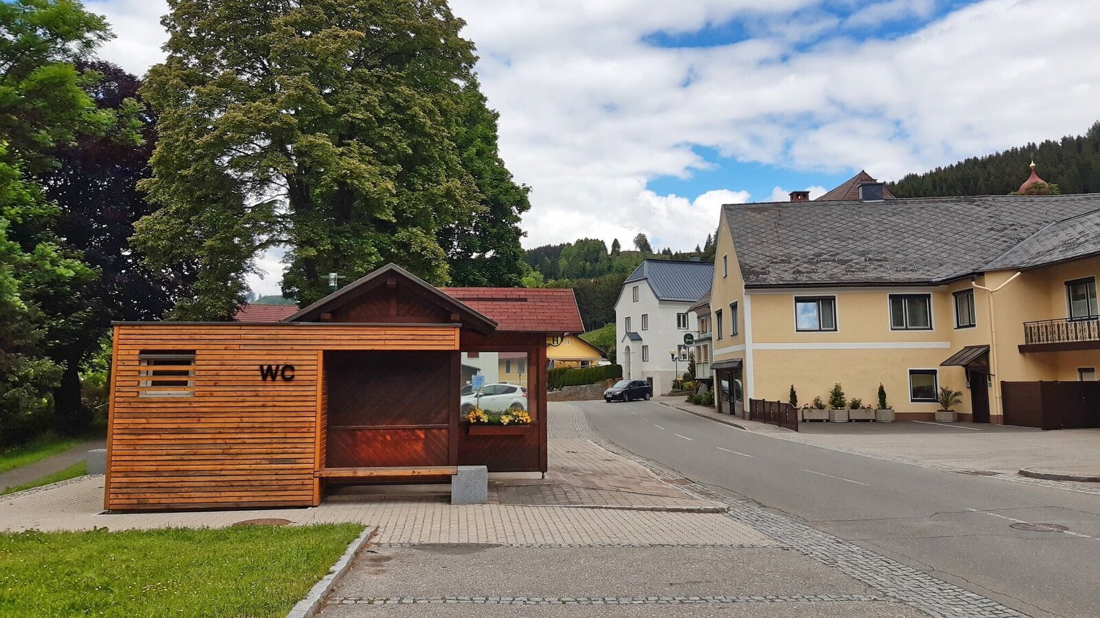
Parkplatz Kleinlobming | © WEGES OG | WEGES OG
1/14
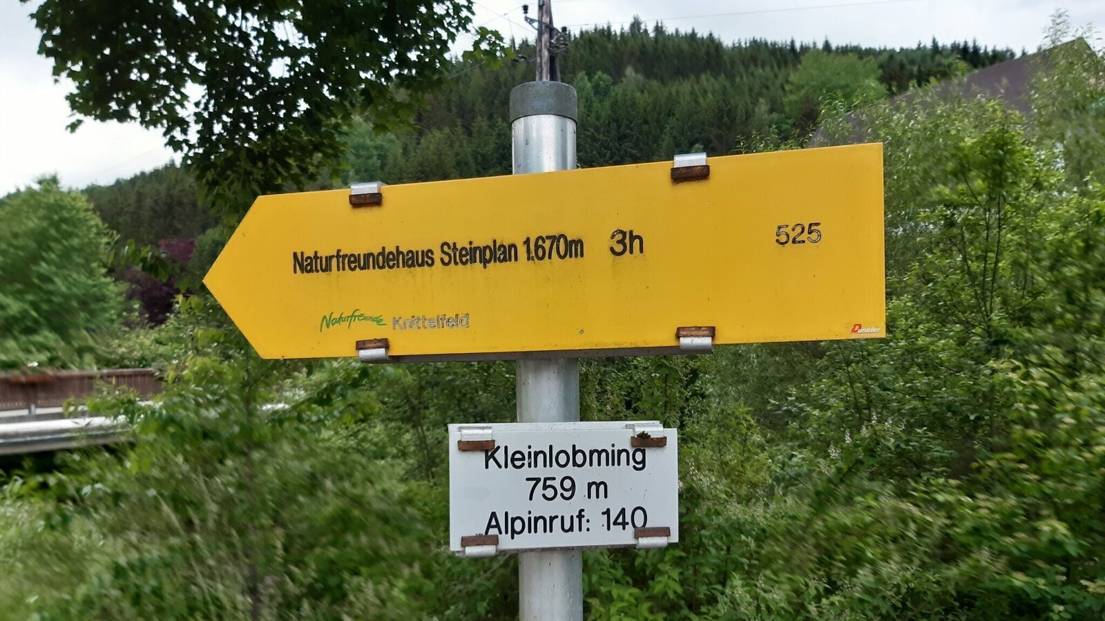
Wegweiser Steinplan Kleinlobming | © WEGES OG | WEGES OG
2/14
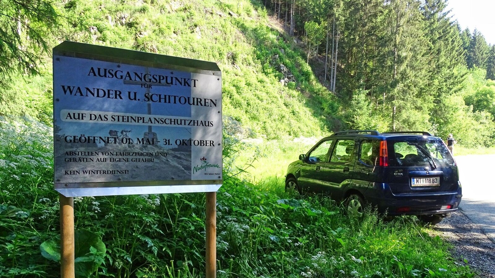
Parkplatz Steinplan | © WEGES OG | WEGES OG
3/14
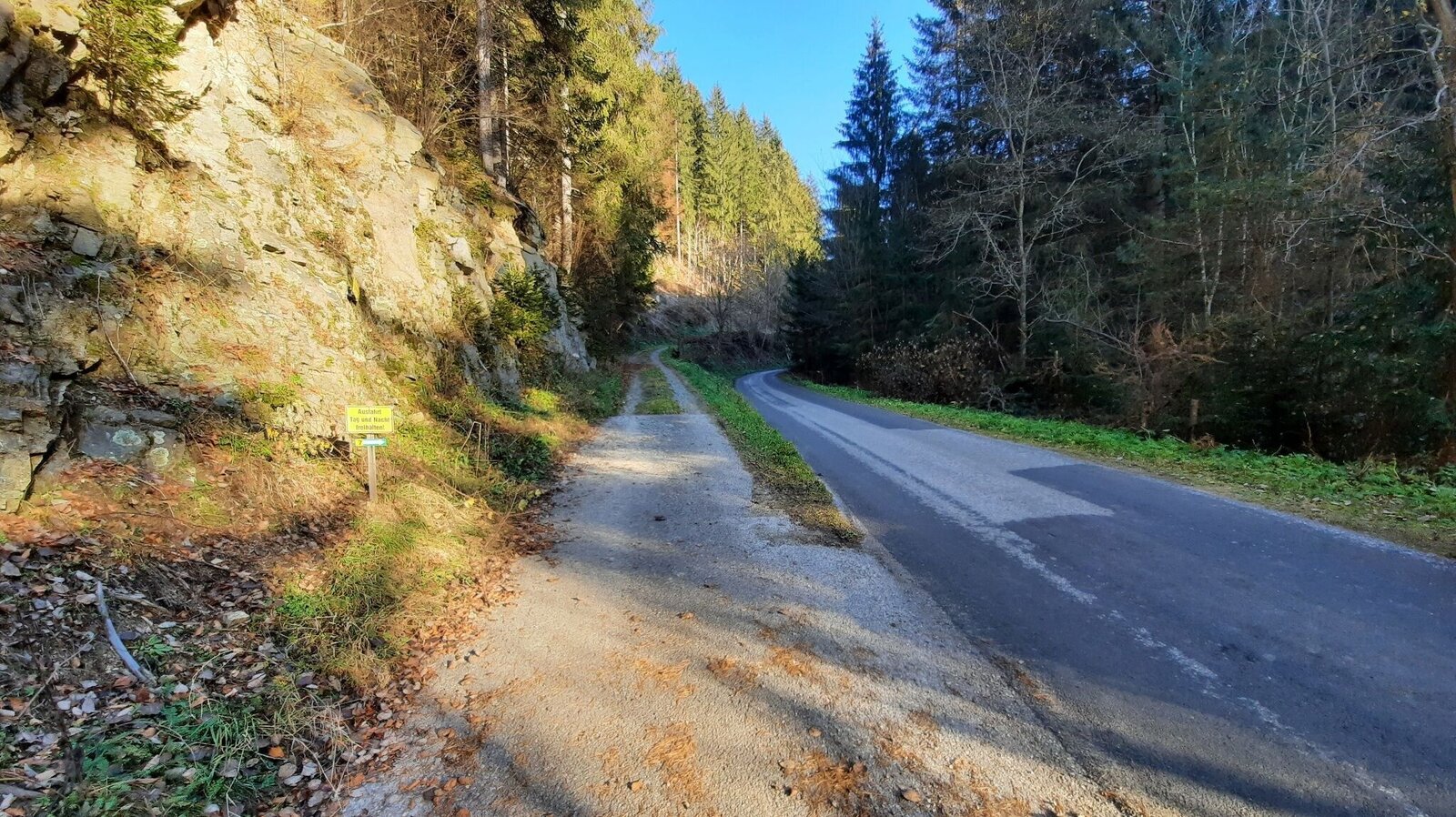
Abzweigung Wanderweg links | © WEGES OG | WEGES OG
4/14
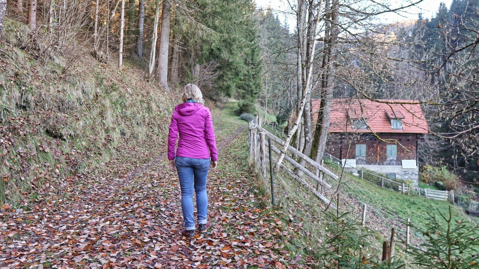
Aufstieg entlang des Kamperbaches | © WEGES OG | WEGES OG
5/14
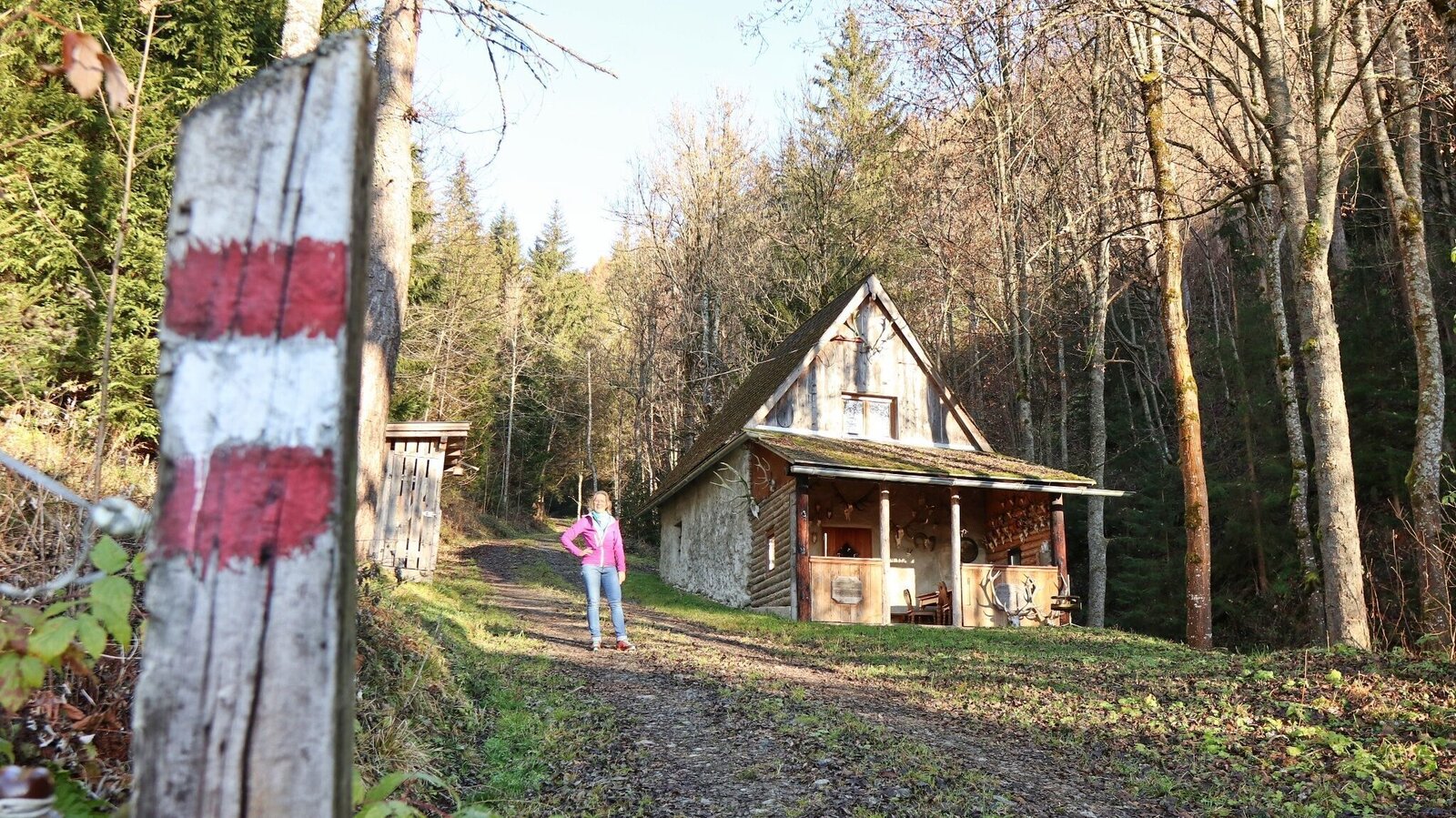
Vorbei an der Jagdhütte im Kampergraben | © WEGES OG | WEGES OG
6/14
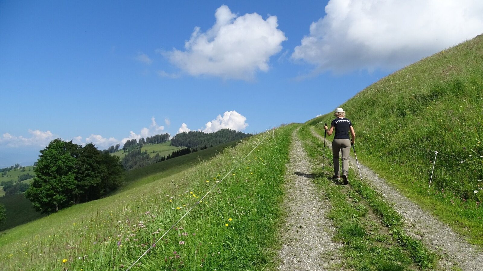
Aufstieg über die Wiesen unterm Oberkamper | © WEGES OG | WEGES OG
7/14
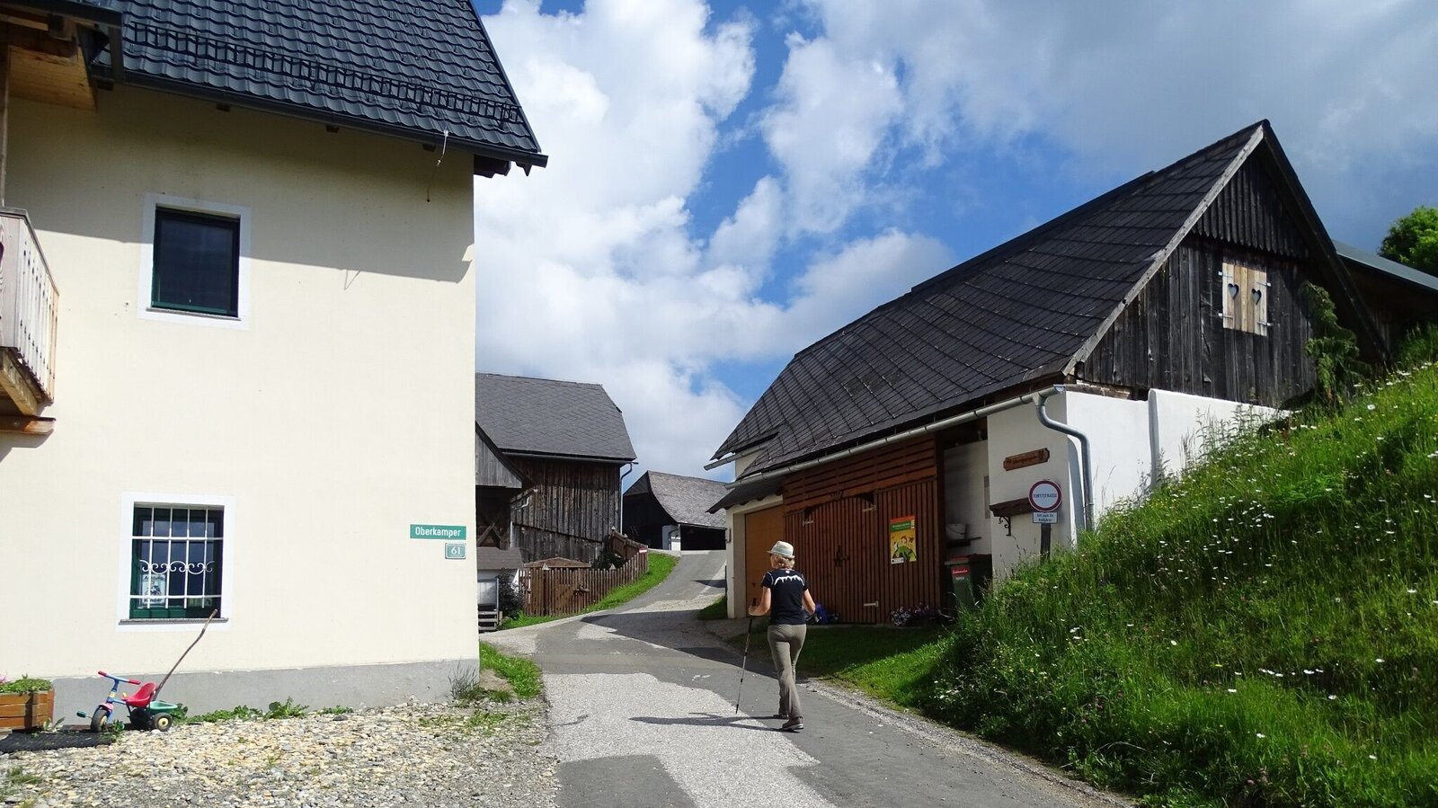
Durch das Gehöft vom Bauernhof vlg. Oberkamper | © WEGES OG | WEGES OG
8/14
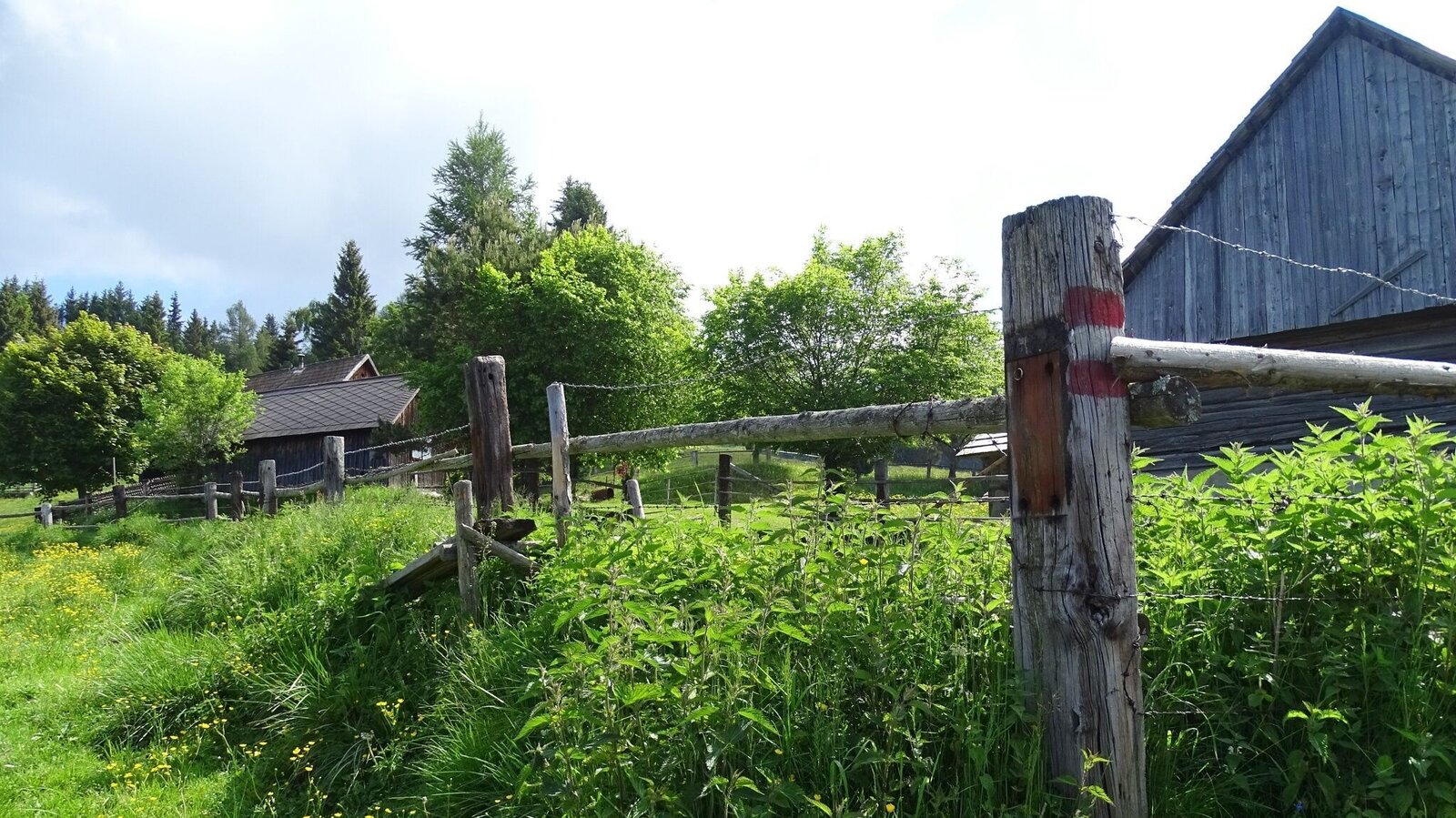
Vorbei an der Stadlmoarhütte | © WEGES OG | WEGES OG
9/14
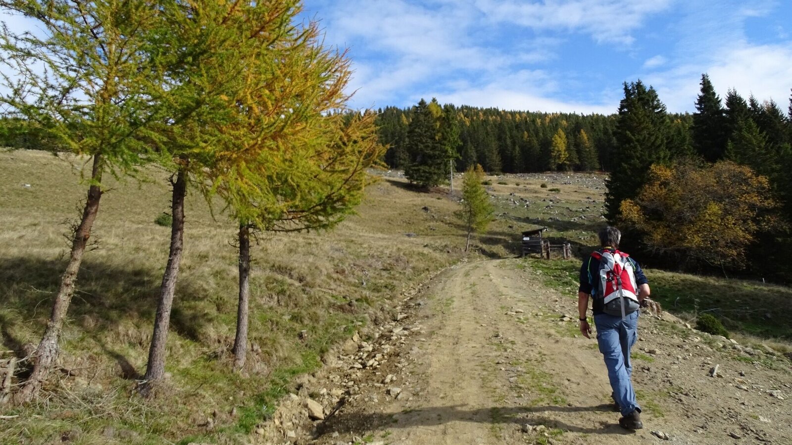
Der Wanderweg führt uns über freie Almflächen | © WEGES OG | WEGES OG
10/14
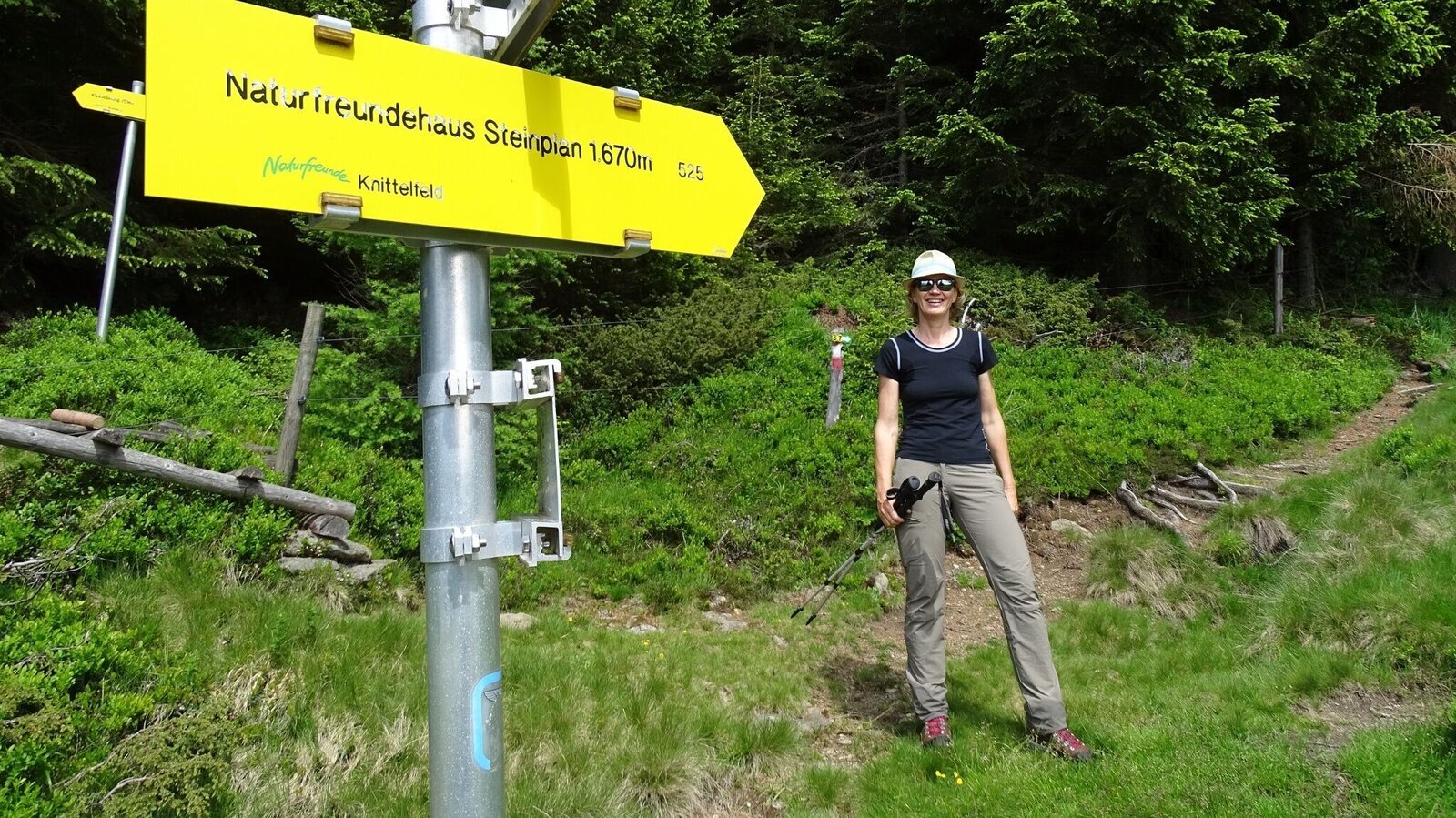
Gut markiert durch den Wald | © WEGES OG | WEGES OG
11/14
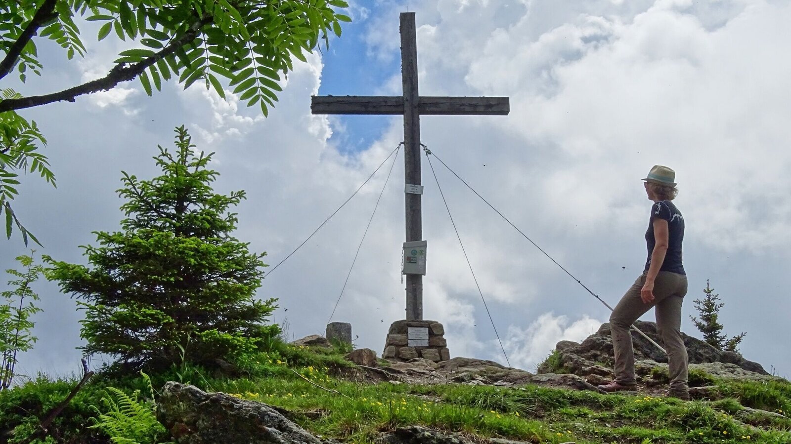
Erreicht: Gipfelkreuz Steinplan | © WEGES OG | WEGES OG
12/14
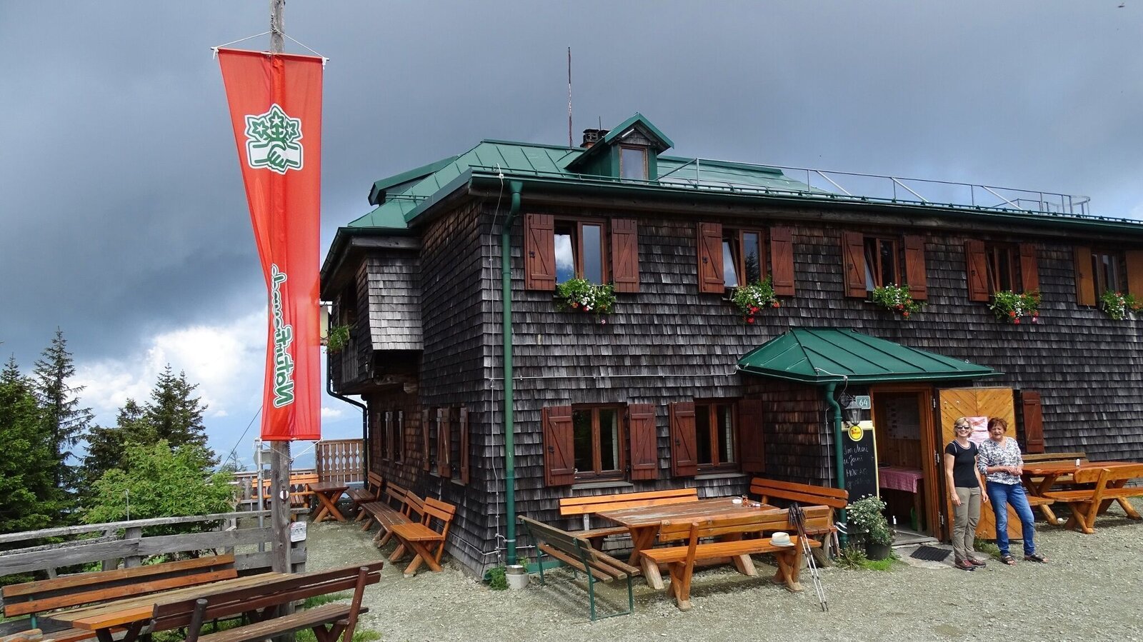
Gemütliche Einkehr Steinplan Schutzhaus | © WEGES OG | WEGES OG
13/14
Wanderung im Murtal: Steinplan über Oberkamper | © Outdooractive – 3D Videos | Outdooractive – 3D Videos
14/14

What the weather will be like Großlobming (642m)
Today, 08.10.2026
Unsettled weather throughout the day with showers now and then.Morning

10°C
sr.Regenwahrscheinlichkeit
65%
sr.Windstärke
5 km/h
Noon
18°C
sr.Regenwahrscheinlichkeit
60%
sr.Windstärke
10 km/h
Night
15°C
sr.Regenwahrscheinlichkeit
50%
sr.Windstärke
10 km/h
Tomorrow, 09.10.2026
The day will be dry, but mostly cloudy with occasional sunny spells.Morning

9°C
sr.Regenwahrscheinlichkeit
15%
sr.Windstärke
5 km/h
Noon
14°C
sr.Regenwahrscheinlichkeit
10%
sr.Windstärke
0 km/h
Night

10°C
sr.Regenwahrscheinlichkeit
5%
sr.Windstärke
0 km/h
Forecast
10.10.2026
6°C
15°C
11.10.2026

6°C
15°C
12.10.2026
5°C
13°C
