


Sommertörl - Tour
Characteristics
SkillThe tour in numbers
Level of difficulty
challenging
Route
7,6 km
Time
2:07 h
Uphill
757 hm
Downhill
88 hm
Highest point
1643 m
Hiking...With respect for wildlife and the environment!
In the Pölstal, we are particularly concerned about the preservation of unspoiled nature. So that the pleasure of the people does not become a problem for wild animals and nature, it requires consideration measures.
For the sake of nature and the environment, correct behavior in the mountains is the top priority for the hiking enthusiast.
- Use the designated parking areas
- Do not block access roads and please respect local driving regulations
- Observe information boards at the starting points and stick to the recommended marked routes
- Avoid approaching wildlife
Best season
January
February
March
April
May
June
July
August
September
October
November
December
More information
You start your bike tour in the municipality of St. Oswald-Möderbrugg and ride into the Wenischgraben. The JU10 signs lead you off to the right towards Sommertörl. Follow the gravel path to the Sommertörl. Once you reach the Sommertörl, you have the option of continuing to the Sommerhütte and taking a short break there.
You can either take the same route back to St. Oswald. If you have planned a longer time, you could also follow the R24/JU10 signs to Gaal. This will take you from Gaal to Spielberg - Fohnsdorf - Pöls - Oberkurzeim and back to St. Oswald.
Walkers and hikers always have priority. A friendly and considerate approach to pedestrians is a prerequisite. In case of encounters, it is important to make yourself known with the bell and pass slowly. Walking paths and hiking trails may not be used by mountain bikes.
Our nature and landscape is as good as untouched and beautiful. To keep it that way, we ask you to avoid littering and unnecessary noise. In order not to disturb the animals, the mountain bike trails should be used only during the day:
from May 1 to September 15 from 9.00 a.m. to 7.00 p.m.
from 16 September to 31 October from 9.00 a.m. to 5.00 p.m.
Ride only on cleared, marked trails and never off the beaten path. On the forest paths the road traffic regulations must be observed!
Just as when driving a car, you should always ride on sight when mountain biking. On forest roads, wood on the roadway and motor vehicles are to be expected.
If you encounter grazing livestock on the trail, reduce your speed to walking pace to avoid wrong reactions of the animals. Please always close grazing gates!
Proper self-assessment is necessary in any sport! Do not overstrain yourself in technique and condition. This also avoids accidents.
Road bike: roadworthy road bike, bike helmet, day bike backpack (approx. 20 liters) with rain cover, cycling shoes, weather-adapted and breathable clothing in a multi-layer principle (e.g. cycling jersey with back pockets, padded cycling shorts, arm warmers and leg warmers if necessary), break-proof cycling goggles, cycling gloves, air pump, cycling tools, sun and rain protection, provisions and drinking water bottle and suitable clothing. arm warmers and leg warmers), shatterproof cycling goggles, cycling gloves, air pump, cycling tools, sun and rain protection, provisions and drinking water, water bottle and suitable holder, first aid kit, cell phone, cell phone holder for the handlebars if necessary, headlamp and reflectors if necessary, mapsMountain bike: roadworthy (e-)mountain bike with plenty of suspension travel, bike helmet, enduro or full-face helmet if necessary, elbow and knee pads if necessary, back and shin protector if necessary, day bike backpack (approx. 20 liters) with rain cover, mountain bike shoes with ankle protection, weather-adapted and hard-wearing clothing with multiple layers (e.g. functional shirt, bike jacket, cycling shirt, cycling jacket, etc.). Bib shorts, arm warmers and leg warmers), shatterproof cycling goggles, long-fingered gloves, air pump, cycling tools, sun and rain protection, provisions and drinking water, water bottle and suitable holder, first aid kit, pocket knife, cell phone, cell phone holder for the handlebars if necessary, headlamp and reflectors if necessary, maps.
Information on public transportation can be found at www.verbundlinie.at
More information at www.murtal.at/radfahren The bike map and the bike tour booklet are available at all locations of the Tourist Association Murtal and at many businesses in the region
More information about bike and MTB routes you can find here www.murtal.at
The tour map "Nimm's Radl Murtal" and the bike map "Nimm's Radl" >>> available in the tourist offices in the Murtal region - or order online:Map & downloads
Gallery
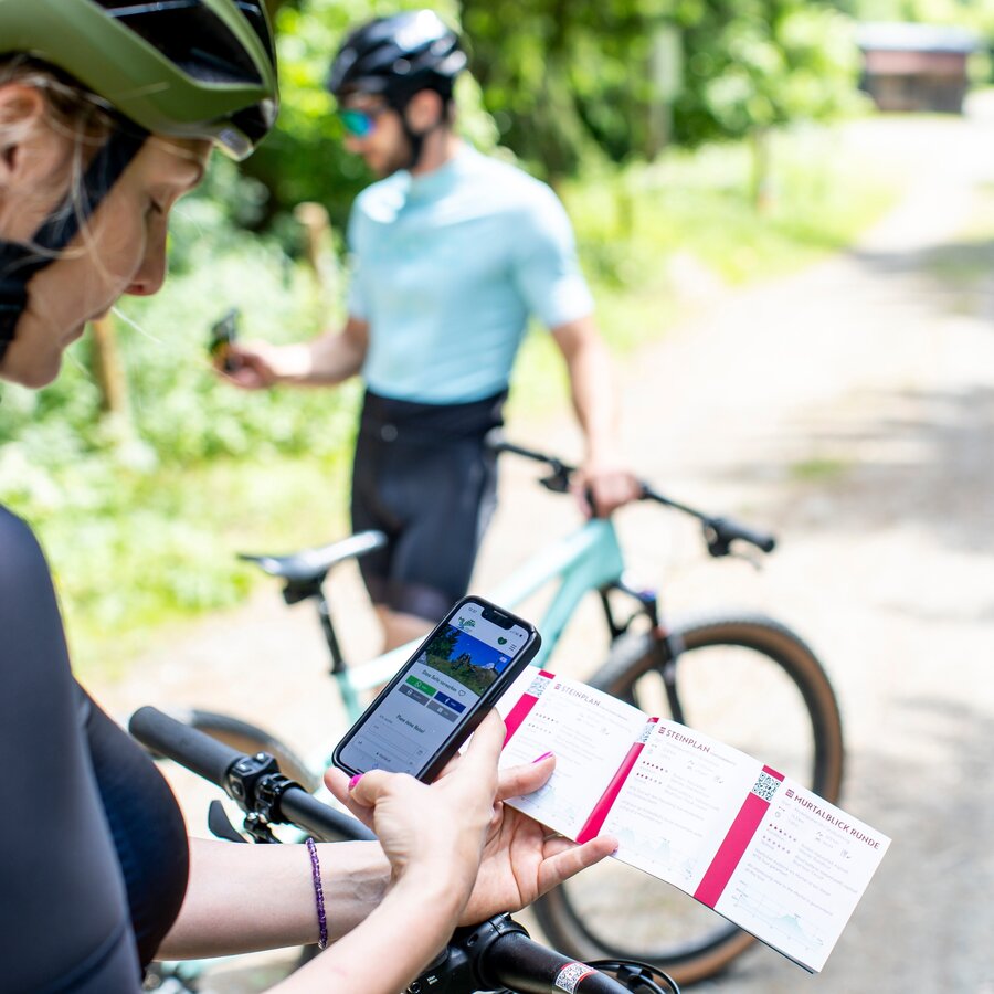
MTB & Rad Touren Karte | © Erlebnisregion Murtal | Tom Lamm
1/3
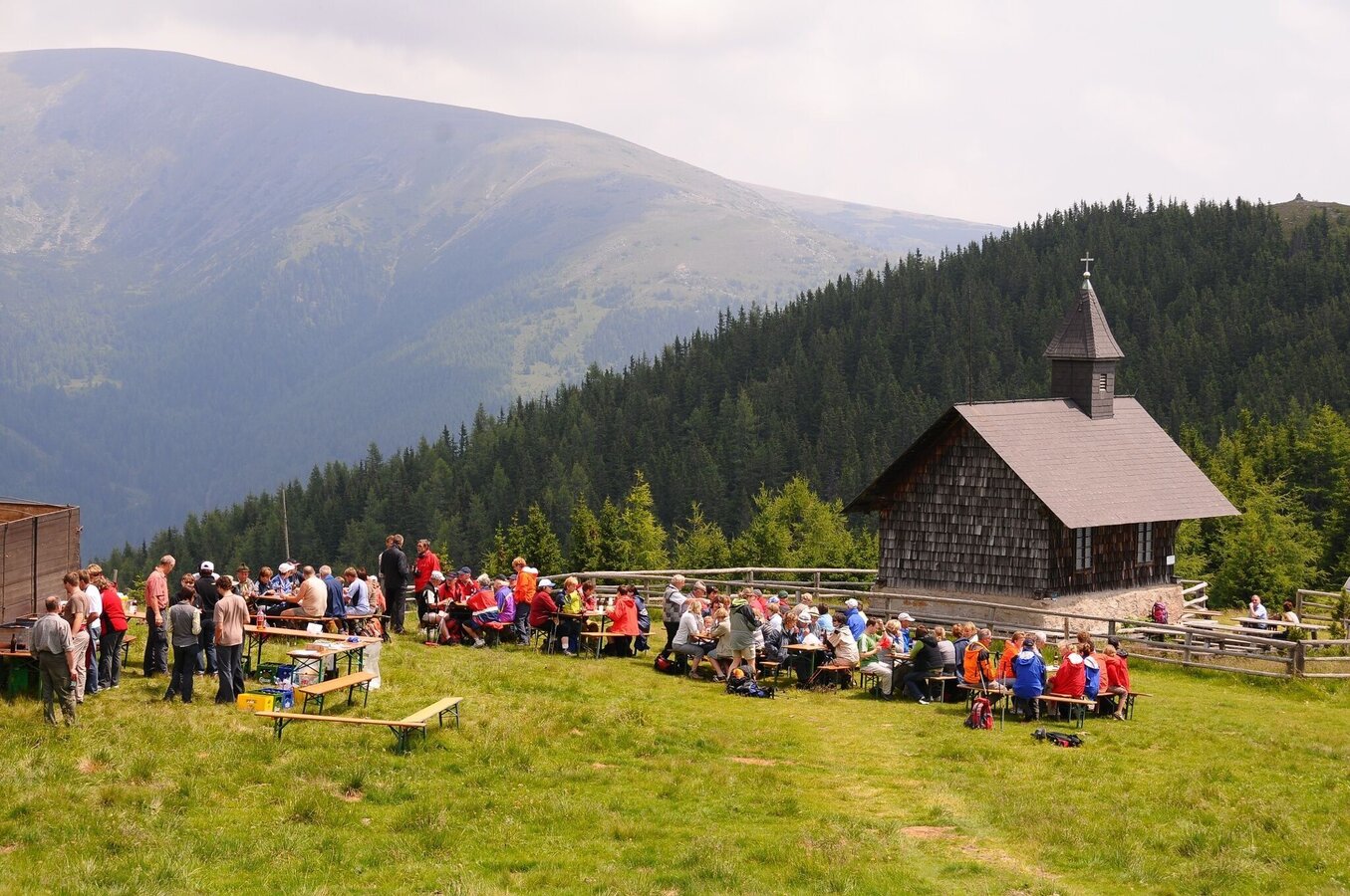
vom Sommertörl weiter zur Lorettokapelle | © Erlebnisregion Murtal | Bianca Poier
2/3
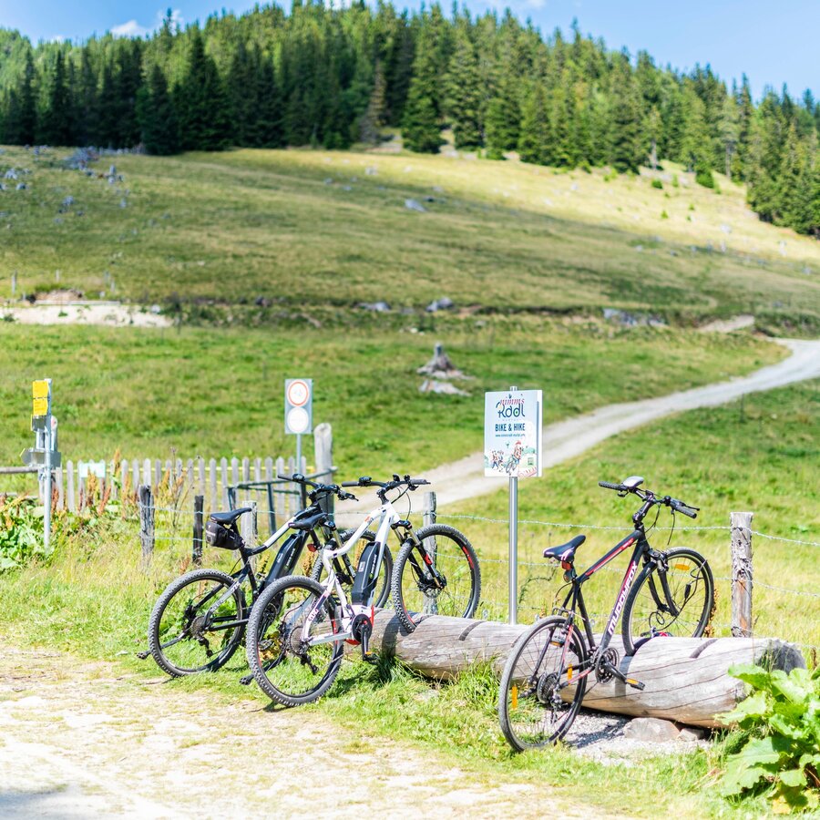
Bike & Hike | © Erlebnisregion Murtal | Team Erlebnisregion Murtal
3/3

What the weather will be like Pölstal (918m)
Today, 25.09.2026
Early clouds will gradually clear to leave the region with a dry and sunny day.Morning

4°C
sr.Regenwahrscheinlichkeit
0%
sr.Windstärke
5 km/h
Noon

15°C
sr.Regenwahrscheinlichkeit
0%
sr.Windstärke
5 km/h
Night

9°C
sr.Regenwahrscheinlichkeit
0%
sr.Windstärke
0 km/h
Tomorrow, 26.09.2026
Dry and sunny throughout the day with hardly any clouds.Morning
4°C
sr.Regenwahrscheinlichkeit
0%
sr.Windstärke
0 km/h
Noon
18°C
sr.Regenwahrscheinlichkeit
0%
sr.Windstärke
5 km/h
Night
11°C
sr.Regenwahrscheinlichkeit
0%
sr.Windstärke
0 km/h
Forecast
27.09.2026
5°C
20°C
28.09.2026
6°C
21°C
29.09.2026
8°C
21°C
