


Mariazeller Gründerweg - Etappe 2
Characteristics
SkillThe tour in numbers
Level of difficulty
challenging
Route
34,1 km
Time
12:00 h
Uphill
1357 hm
Downhill
1438 hm
Highest point
1800 m
The Mariazell Pilgrimage Route stretches over 192 kilometres and leads from St. Lambrecht Abbey in Murau, through the Murtal and the region Erzberg Leoben to the final destination of Mariazell in Hochsteiermark. On a total of 7 stages, on foot you discover devotional places of strength in the green heart of Styria. Reversed, the Pilgrim’s Trail from Mariazell to St. Lambrecht can be completed as a part of the famous Romea Strata, with Rome as the end of the journey.
The second stage of the Mariazell Founders' Trail leads from Oberzeiring via the Sommertörl to Gaal and on to Seckau. Here you can marvel at several sights and churches that cross your pilgrimage route. Hanfelden Castle leaves its historical mark, the Loretto Chapel on the Rosenkogel invites you to linger and the imposing abbey in Seckau illuminates the end of this stage.
Best season
January
February
March
April
May
June
July
August
September
October
November
December
More information
We leave Oberzeiring via Franz-Josef-Straße and follow a small road to Unterzeiring, pass Hanfelden Castle and reach St. Oswald via the main road. We follow the Riedelweg (towards Rosenkogel) steeply uphill to the Ruder Sattel and after almost 1,000 strenuous metres of ascent we reach the path coming from Sommertörl to the Loretto pilgrimage chapel. The detour to the Rosenkogel at 1,918 metres takes about a quarter of an hour, a little extra effort that is worth it for the fantastic view and peaceful atmosphere. From here you can also descend directly to the Sommertörl. We now follow the hiking trail 988/998 slightly uphill to the Wildinger Höhe (watch out for game fences: observe hunting restrictions!) via the Schöntalhöhe to the Dirnberghöhe. Keep left here and follow the ridge over the Strasswaldhöhe and Eisenbacherhöhe to the Gaaler Höhe. Several hiking trails intersect here: we turn left onto trail no. 908 and hike down to Ingering Il. There we reach path no. 902, which leads us in an easterly direction, first along the Ingeringbach stream, then across meadows and fields to the hamlet of Moar, where we cross the main road. We continue straight ahead on a side road to Seckau.
- Good hiking boots
- Clothing suitable for the weather
- A change of clothes
- Sufficient drinks and snacks (there are shops in Oberzeiring and Unterzeiring, there are no refreshment stops or catering facilities along the path along the Sommertörl, only in Gaal are shops and inns waiting for the pilgrims)
Oberzeiring is easily accessible by bus, e.g. from Judenburg with line 871 or from Pöls with line 846 You can find more information at ÖBB Scotty - ÖBB (oebb.at)
There are refreshment stops along this long section of the route.
Map & downloads
Gallery
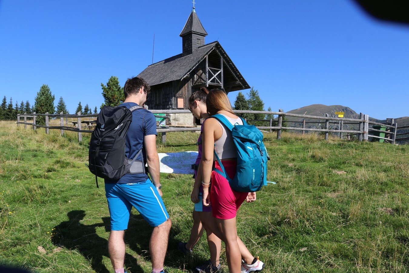
Weg zum Rosenkogel an der Lorettokapelle vorbei | © Erlebnisregion Murtal | Isabella Painhapp
1/8
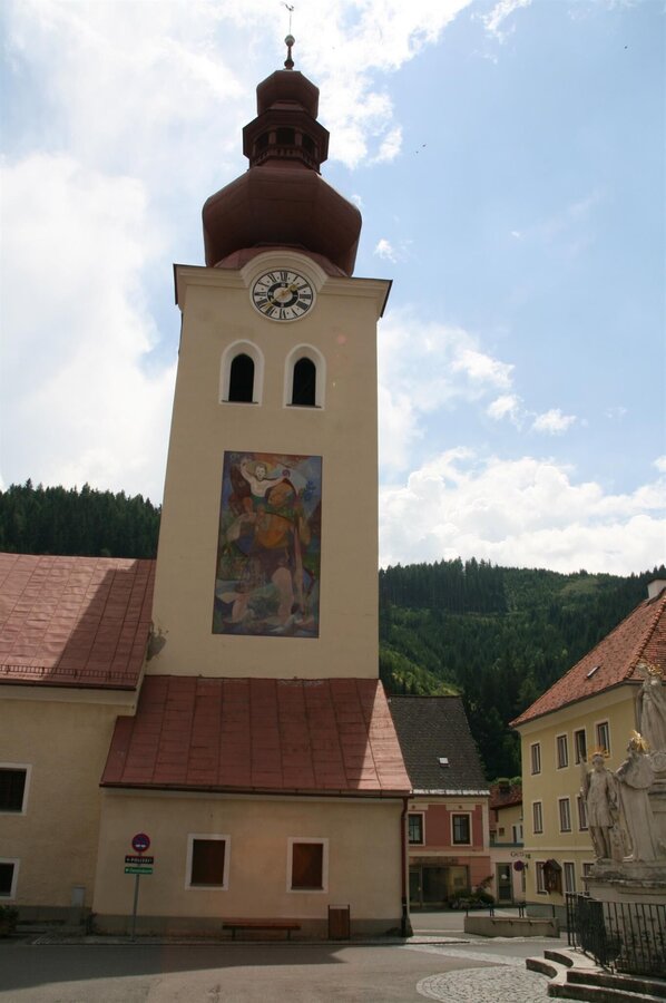
Kirche Oberzeiring-Murtal-Steiermark | © Kath. Kirche Hl. St. Nikolaus Oberzeiring | Kath. Kirche Hl. St. Nikolaus Oberzeiring
2/8
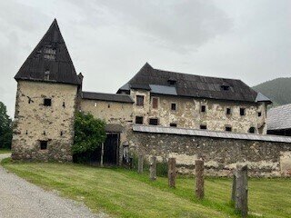
Schloss Hanfelden_3_Heidi Kainer.jpg | © Heidemaria Kainer | Heidemaria Kainer
3/8
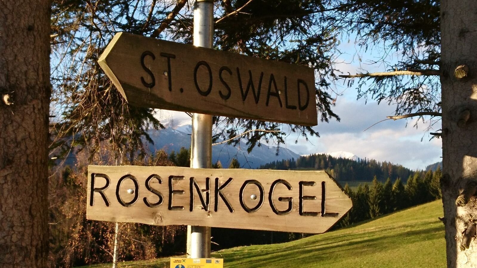
Wegweiser Rosenkogel / St. Oswald | © Weges | Weges
4/8
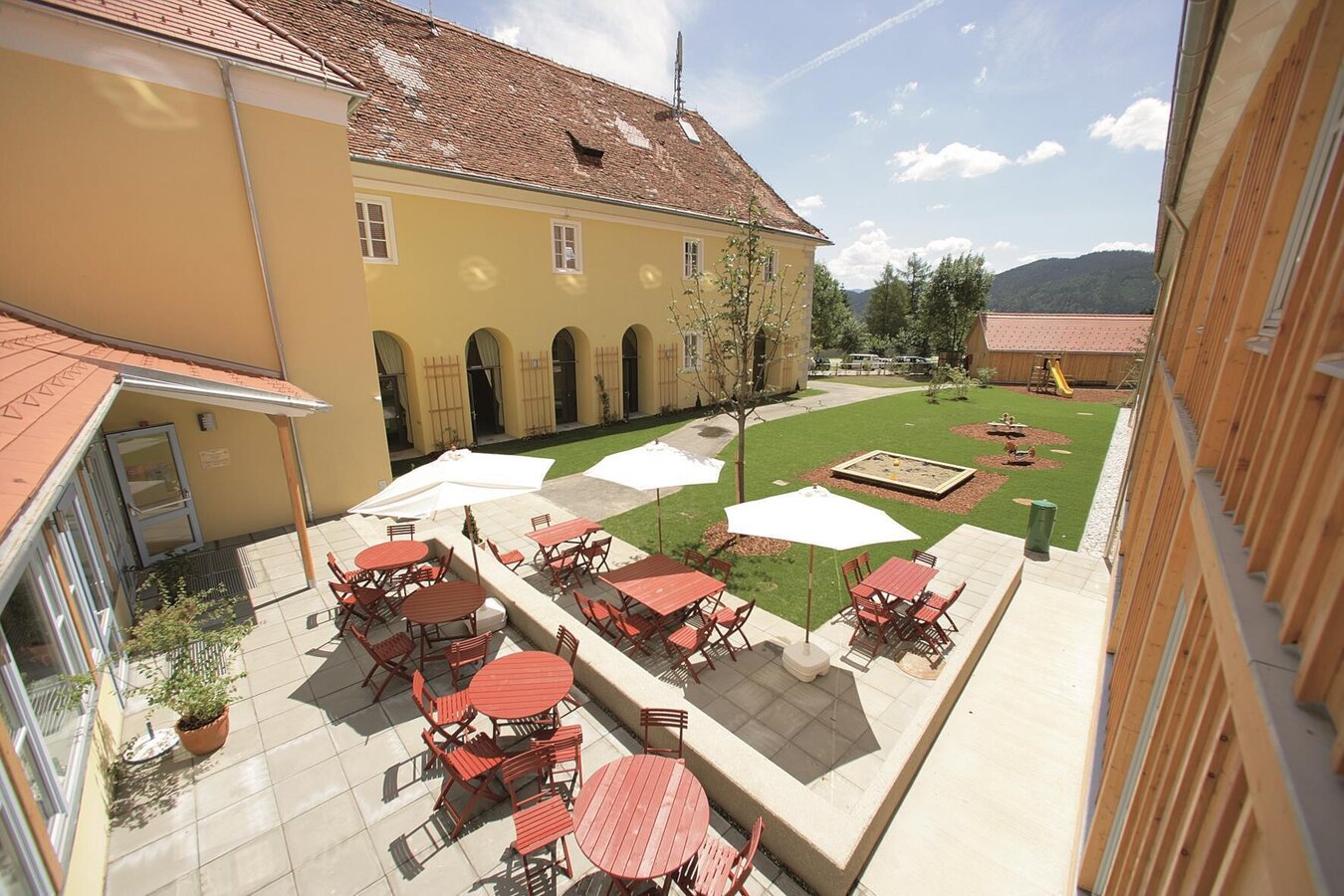
JUFA-Seckau-Innenhof-Murtal-Steiermark | © JUFA Hotels | JUFA Hotels
5/8
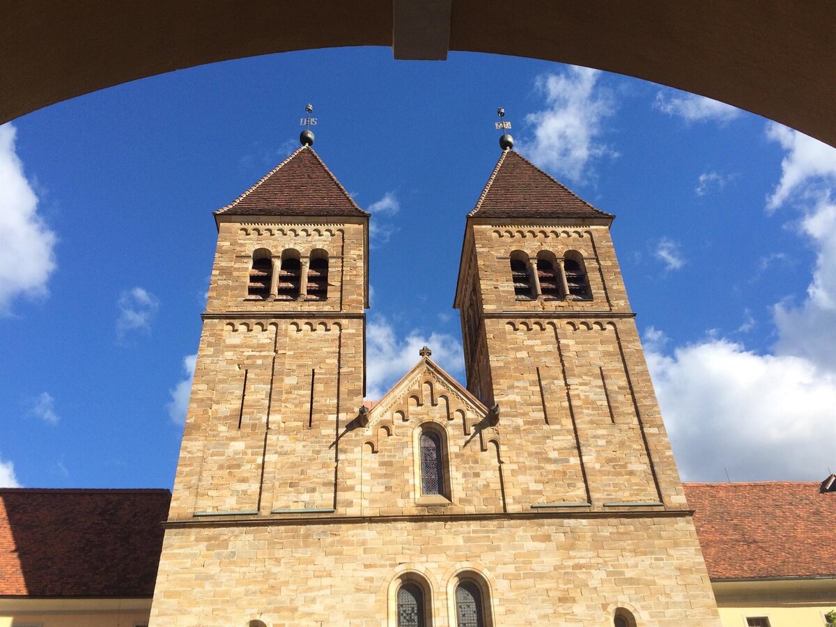
AbteiSeckau-Außenansicht3-Murtal-Steiermark | © Abtei Seckau | Abtei Seckau
6/8
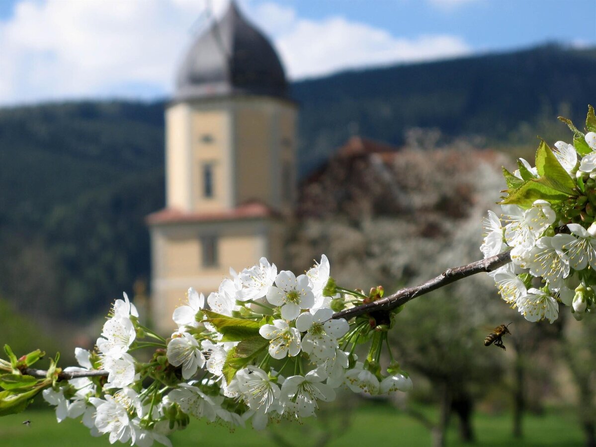
AbteiSeckau-Außenansicht4-Murtal-Steiermark | © Abtei Seckau | Abtei Seckau
7/8
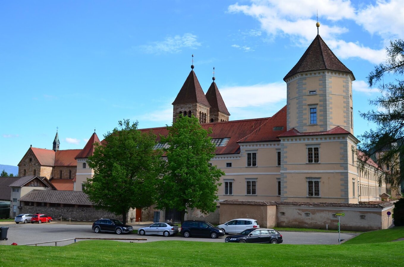
Abtei Seckau_Außenansicht | © Erlebnisregion Murtal | Erlebnisregion Murtal
8/8

What the weather will be like Pölstal (918m)
Today, 15.10.2026
Dry and partly sunny throughout the day, with cloudy periods from time to time.Morning

5°C
sr.Regenwahrscheinlichkeit
0%
sr.Windstärke
5 km/h
Noon
16°C
sr.Regenwahrscheinlichkeit
0%
sr.Windstärke
5 km/h
Night

10°C
sr.Regenwahrscheinlichkeit
0%
sr.Windstärke
5 km/h
Tomorrow, 16.10.2026
Dry and sunny throughout the day with hardly any clouds.Morning

4°C
sr.Regenwahrscheinlichkeit
0%
sr.Windstärke
5 km/h
Noon
17°C
sr.Regenwahrscheinlichkeit
0%
sr.Windstärke
5 km/h
Night
9°C
sr.Regenwahrscheinlichkeit
0%
sr.Windstärke
0 km/h
Forecast
17.10.2026
4°C
17°C
18.10.2026

6°C
15°C
19.10.2026
5°C
15°C
