


Maierangerkogel
Characteristics
SkillThe tour in numbers
Level of difficulty
challenging
Route
15,7 km
Time
7:00 h
Uphill
1210 hm
Downhill
1210 hm
Highest point
2355 m
An isolated mountain tour over the Vorwitzsattel to the summit of the Maierangerkogel, 2356 m.
Best season
January
February
March
April
May
June
July
August
September
October
November
December
More information
The starting point for our hike was the parking lot in Vorwitzgraben, which is quite easy to find. Shortly before the village of Gaal, turn right towards Vorwitz, in the small village follow a signpost that leads left into the Vorwitzgraben. From here, continue straight ahead until you reach a small parking lot with a barrier.
Parking lot at the Vorwitzgraben barrier
Parking lot at the Vorwitzgraben barrier
Now for the route description and hiking report from our mountain expert Martin - www.bergfexmartin.at
We start at around 1150 meters above sea level in the direction of Balduinhütte, our first small stage destination.
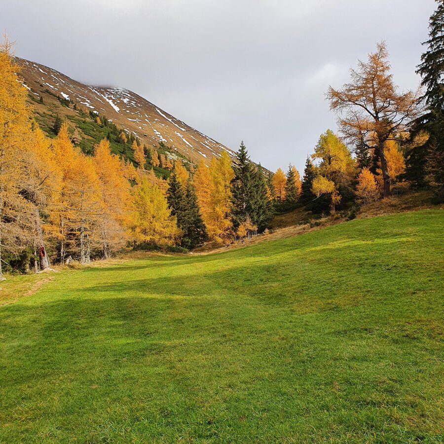
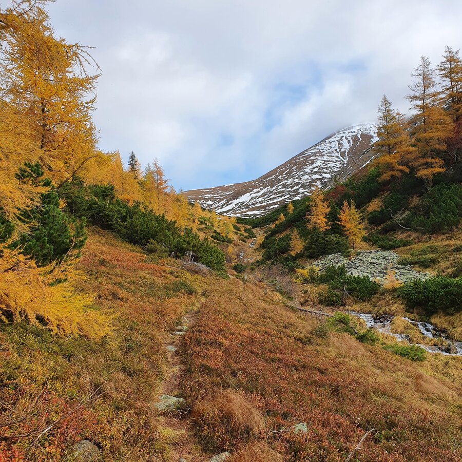
We follow the forest road through the Vorwitzgraben for around three kilometers, gaining around 300 metres in altitude. Shortly after the Balduinhütte, we leave the road and follow a clearly visible signpost indicating the route towards Vorwitzsattel. Always perfectly marked, the path winds its way next to the Vorwitzbach stream (an ideal way to cool off in the summer months) meter by meter upwards. The landscape is particularly beautiful in autumn: the still lush green of the mountain pines and the contrasting yellow of the pine trees - Indian summer, practically on your doorstep.
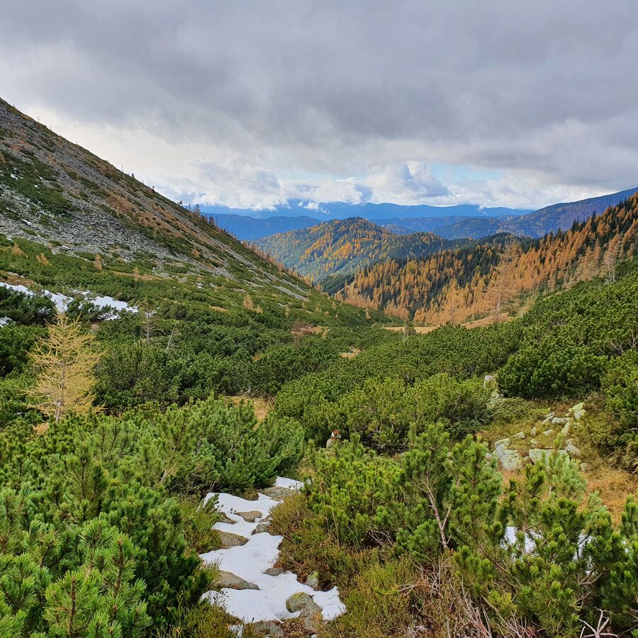
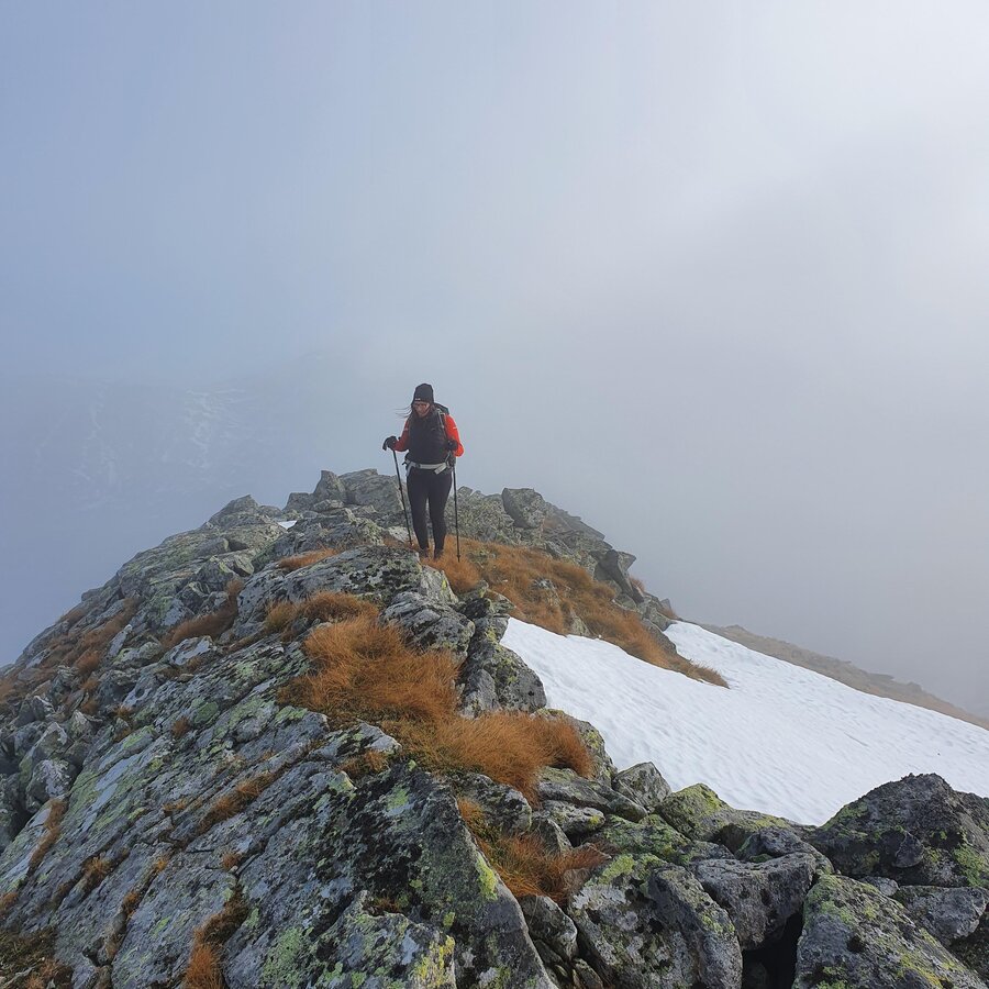
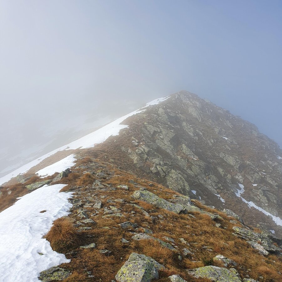
We were at around 1,800 meters above sea level when more and more snowfields appeared in our path - but they weren't really a problem for us. Rather the incoming fog and the increasing wind. Factors that made this part of our tour a little uncomfortable. Visibility became increasingly poorer and it felt like the wind increased by 1 km/h with every step. The white of the snow could no longer be distinguished from the white of the fog, so we concentrated on following the markings that were still visible and were relieved when we arrived at the Vorwitzsattel after around 2.5 hours of walking.
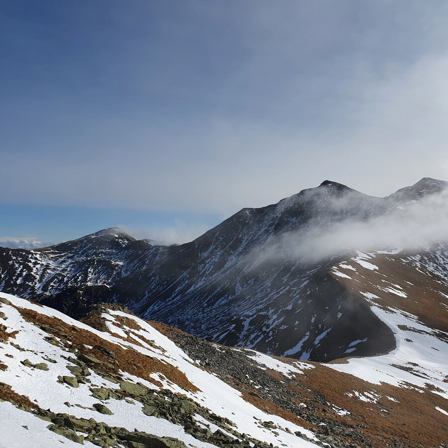
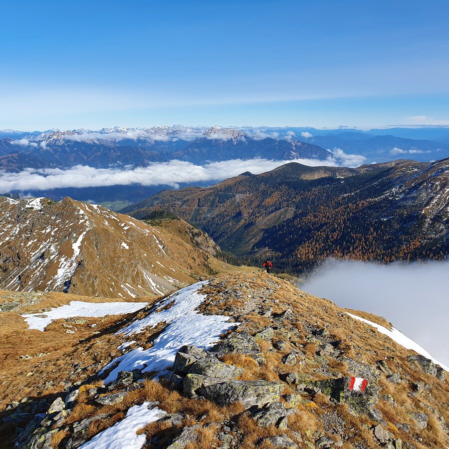
The path to the right leads to the Kleiner Zinken and then to the Seckauer Zinken, we kept to the left and trudged towards the summit in poor visibility and repeatedly snow-covered paths. It wasn't long before the wind had largely stopped and the fog lifted, leaving us with an incredibly beautiful mountain panorama. The first 100 meters in altitude from the Vorwitzsattel were a little more difficult, as we often had to hike or scramble around the snow-covered path. The stones and grass were also relatively damp, so we had to be careful. The closer we got to the summit cross, the friendlier the conditions became. No wind, it got noticeably warmer, a snow-free path - a dream.
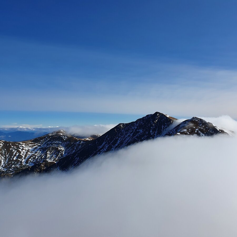
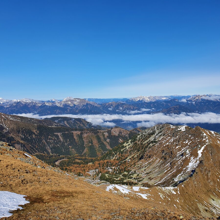
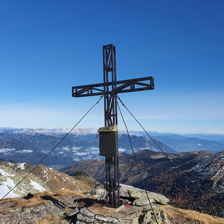
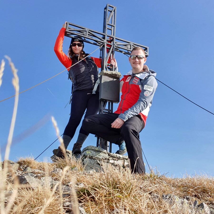
After just over three hours of walking, we were able to celebrate our summit victory on the 2,356-metre-high Maierangerkogel. The entire Murtal valley to the south was still covered in clouds, but the weather to the north was perfect. Hochschwab, Gößeck, Zeiritzkampel, Admonter Reichenstein - the list of mountains that presented themselves to us slightly covered in sugar could be continued almost indefinitely. Of course, the prominent neighbors Hochreichart and Zinken were also visible, only the slightly lower Brandstätterkogel was still fighting against a cloud bank.
The descent was the same as the ascent.
For a conflict-free coexistence on alpine pastures and meadows it is important to observe a few rules, especially when traveling with dogs. (Source: www.sichere-almen.at - 06/2021)
- Avoid contact with grazing animals, do not feed them, keep a safe distance!
- Keep calm, do not frighten grazing animals!
- Mother cows protect their calves. Avoid encounters between mother cows and dogs!
- Always keep dogs under control and on a short leash. If an attack by a grazing animal is foreseeable: Immediately unleash!
- Do not leave hiking trails on alpine pastures and meadows!
- If grazing animals block the way, avoid them as far as possible!
- When grazing animals approach: Stay calm, do not turn your back, avoid the animals!
- Leave the grazing area quickly at the first sign of restlessness of the animals!Fences must be respected!
- If there is a gate, use it, then close it well and cross the pasture quickly!
- Treat the people working here, nature and the animals with respect!
A few tips for correct and fair behavior in the forest: (Source: www.bundesforste.at - 6/2021)
- Hikers should avoid visits to the forest about 1.5 hours before sunrise and after sunset, as wildlife is especially active during this time.
- Plastic bottles, handkerchiefs, cigarette butts & Co have no place in the forest! Please make sure that you do not leave any trash in the forest.
- Camping and making fire - is strictly forbidden in the forest!
- In principle, each person is allowed to collect 2 kg of mushrooms and berries per day for personal use in the forest. It is only forbidden if the forest owner expressly forbids it.
Alpine emergency call:
Mountain rescue emergency number: 140
EU emergency number: 112
Weather service: www.zamg.ac.at
Direct link mountain weather Styria: https://www.zamg.ac.at/cms/de/wetter/produkte-und-services/bergwetter/steiermark
Basic equipment:- Hiking boots
- Hiking pants
- Functional shirt (also for changing)
- rain jacket
- Hiking socks
Other hiking equipment:
- Fleece pullover
- Functional underwear
- Hiking T-shirt to change into
- Rain trousersInsulation jacket
- Cap or headband
- Sunglasses
- Hat and gloves if necessary
- Adjustable hiking poles
- Hiking rucksack (approx. 20 liters or as required)
- Rain cover for the rucksack
Technical equipment and orientation
- Topographical maps
- Charged cell phone
- headlamp
- binoculars
Food and drink
Especially on such a long tour, make sure you take enough to drink and a snack with you. There are no refreshment stops on the tour.
Information on public transportation can be found at www.verbundlinie.at
More information at www.murtal.at/wandern You can also find this tour on the following hiking map:
Region Murtal - Hiking map 1 & 2
The hiking maps 1,2&3 - you can get for free at the tourism association Murtal - info@murtal.at - Tel.: +43 3577 26600
You can also find more information about the region on - www.murtal.at
In the Murtal region there are three free hiking maps that show the entire region with the Seetaler Alps, Seckauer-, Wölzer-, Rottenmanner Tauern, Stubalpe and the Pöls- and Murtal. The maps are in scale 1.50.000.Map & downloads
Gallery
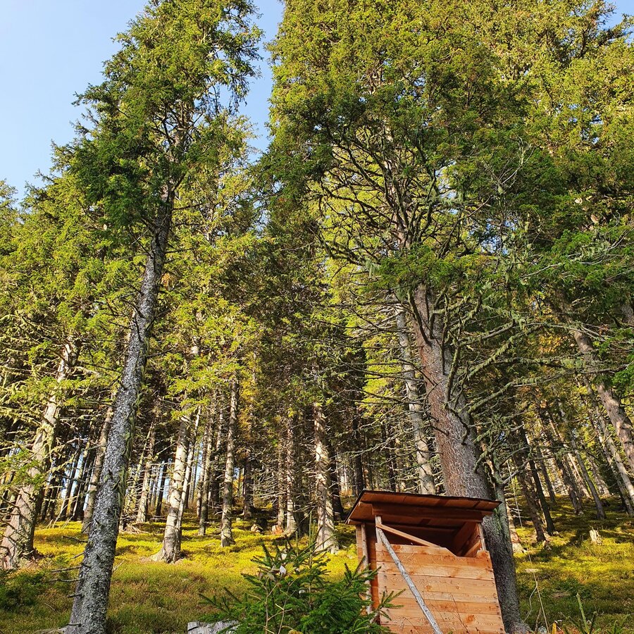
Tour auf den Maierangerkogel | © Erlebnisregion Murtal | Murtaler Bergfex Martin - www.bergfexmartin.at
1/15
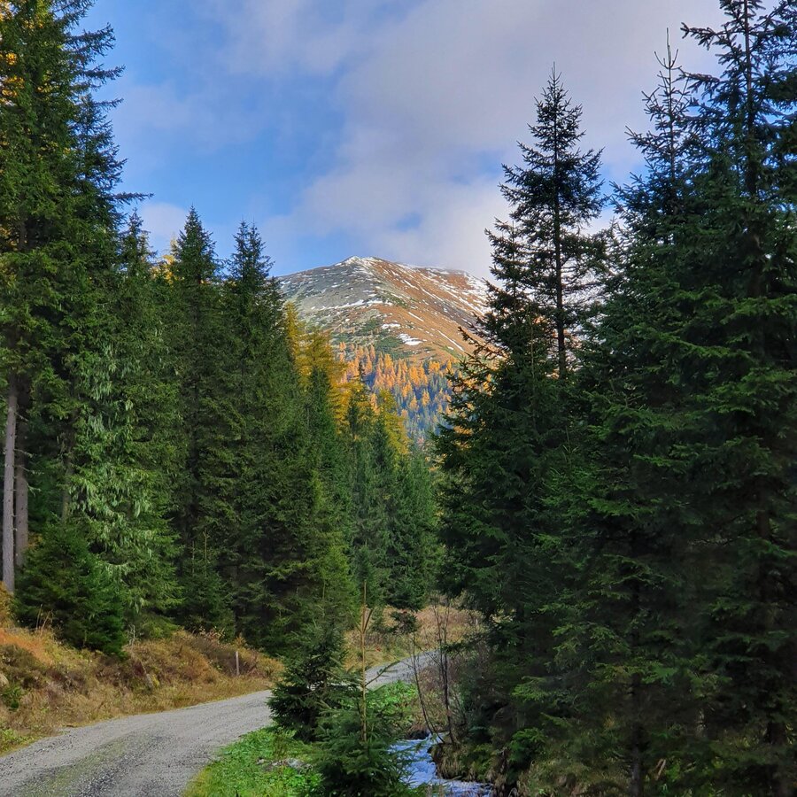
Tour auf den Maierangerkogel | © Erlebnisregion Murtal | Murtaler Bergfex Martin - www.bergfexmartin.at
2/15
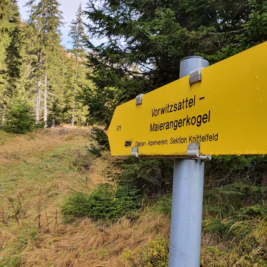
Tour auf den Maierangerkogel | © Erlebnisregion Murtal | Murtaler Bergfex Martin - www.bergfexmartin.at
3/15
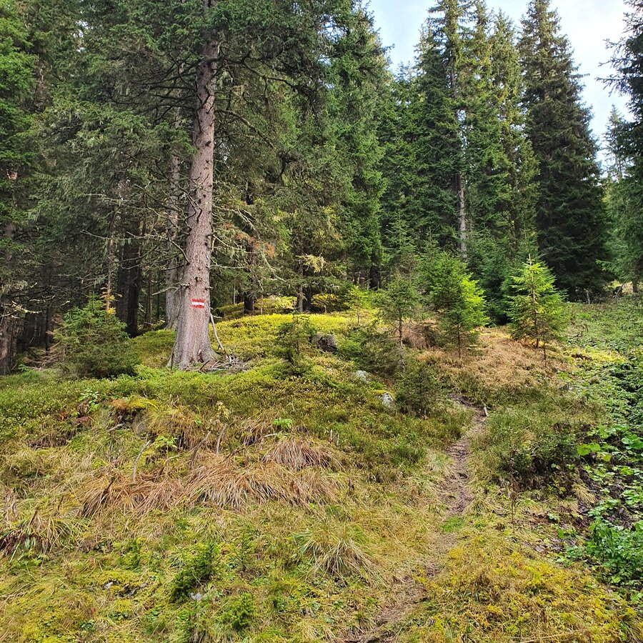
Tour auf den Maierangerkogel | © Erlebnisregion Murtal | Murtaler Bergfex Martin - www.bergfexmartin.at
4/15
Tour auf den Maierangerkogel | © Erlebnisregion Murtal | Murtaler Bergfex Martin - www.bergfexmartin.at
5/15
Tour auf den Maierangerkogel | © Erlebnisregion Murtal | Murtaler Bergfex Martin - www.bergfexmartin.at
6/15
Tour zum Maierangerkogel | © Erlebnisregion Murtal | Murtaler Bergfex Martin - www.bergfexmartin.at
7/15
Tour zum Maierangerkogel | © Erlebnisregion Murtal | Murtaler Bergfex Martin - www.bergfexmartin.at
8/15
Tour zum Maierangerkogel | © Erlebnisregion Murtal | Murtaler Bergfex Martin - www.bergfexmartin.at
9/15
Tour zum Maierangerkogel | © Erlebnisregion Murtal | Murtaler Bergfex Martin - www.bergfexmartin.at
10/15
Tour zum Maierangerkogel | © Erlebnisregion Murtal | Murtaler Bergfex Martin - www.bergfexmartin.at
11/15
Tour zum Maierangerkogel | © Erlebnisregion Murtal | Murtaler Bergfex Martin - www.bergfexmartin.at
12/15
Tour zum Maierangerkogel | © Erlebnisregion Murtal | Murtaler Bergfex Martin - www.bergfexmartin.at
13/15
Maierangerkogel | © Erlebnisregion Murtal | Murtaler Bergfex Martin - www.bergfexmartin.at
14/15
Unsere Bergfexe am Maierangerkogel | © Erlebnisregion Murtal | Murtaler Bergfex Martin - www.bergfexmartin.at
15/15

What the weather will be like Gaal (874m)
Today, 24.10.2026
The rain will end in the early afternoon, and the skies will break up afterwards.Morning

2°C
sr.Regenwahrscheinlichkeit
95%
sr.Windstärke
5 km/h
Noon
7°C
sr.Regenwahrscheinlichkeit
75%
sr.Windstärke
5 km/h
Night

3°C
sr.Regenwahrscheinlichkeit
25%
sr.Windstärke
5 km/h
Tomorrow, 25.10.2026
Sunny in the early morning, but soon clouds will gather and will lead to light rain towards evening.Morning
0°C
sr.Regenwahrscheinlichkeit
5%
sr.Windstärke
5 km/h
Noon

8°C
sr.Regenwahrscheinlichkeit
45%
sr.Windstärke
5 km/h
Night
5°C
sr.Regenwahrscheinlichkeit
70%
sr.Windstärke
5 km/h
Forecast
26.10.2026

2°C
11°C
27.10.2026
2°C
14°C
28.10.2026
3°C
14°C
