


Knittelfeld - Rachau
Characteristics
SkillThe tour in numbers
Level of difficulty
medium
Route
14,1 km
Time
1:15 h
Uphill
147 hm
Downhill
148 hm
Highest point
731 m
We travel to the "Almfrische Rachau" under the motto "A little closer to heaven" and cross the floating bridge over the Mur river
From Knittelfeld to Gobernitz. From there past the former treetop hiking trail. We ride downhill over the Gleinbrücke bridge to St. Margarethen. A short stretch of gravel path and we cross the "floating bridge" over the Mur and pass the Zechner leisure facility. From there to Reifersdorf and back to Knittelfeld.
Best season
January
February
March
April
May
June
July
August
September
October
November
December
More information
Coming via the S36, take the Knittelfeld exit and follow the signs to the main square
Parking is available on the main square and nearby
Parking is available on the main square and nearby
From Knittelfeld to Gobernitz. From there past the former treetop hiking trail. We ride downhill over the Gleinbrücke bridge to St. Margarethen. A short stretch of gravel path and we cross the "floating bridge" over the Mur and pass the Zechner leisure facility. From there to Reifersdorf and back to Knittelfeld.
The right equipment - especially for such tours - can save lives! Therefore, always be safe on the road! Mountain bike: roadworthy (e-)mountain bike with plenty of wheel traction, bike helmet, if necessary enduro or full-face helmet, if necessary elbow and knee protectors, if necessary back and shin protector, day bike backpack (approx. 20 liters) with rain cover, mountain bike shoes with ankle protection, weather-adapted and durable clothing in multi-layer principle (e.g. functional shirt, bike jersey, bib shorts, arm warmers and leg warmers). shatterproof cycling glasses, long-finger gloves, air pump, bicycle tools, sun and rain protection, provisions and drinking water, water bottle and suitable holder, first aid kit, pocket knife, cell phone, if necessary cell phone holder for the handlebars, if necessary headlamp and reflectors, maps.
a visit to the Knittelfeld train museum is recommended
Information on public transportation can be found at www.verbundlinie.at
More information at www.murtal.at/radfahren The bike map and the bike tour booklet are available at all locations of the Tourist Association Murtal and at many businesses in the region
More information about bike and MTB routes you can find here www.murtal.at
The tour map "Nimm's Radl Murtal" and the bike map "Nimm's Radl" >>> available in the tourist offices in the Murtal region - or order online:Map & downloads
Gallery
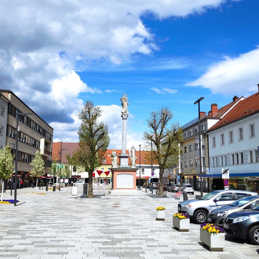
Hauptplatz Knittelfeld | © WEGES | WEGES
1/4
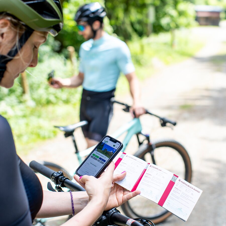
MTB & Rad Touren Karte | © Erlebnisregion Murtal | Tom Lamm
2/4
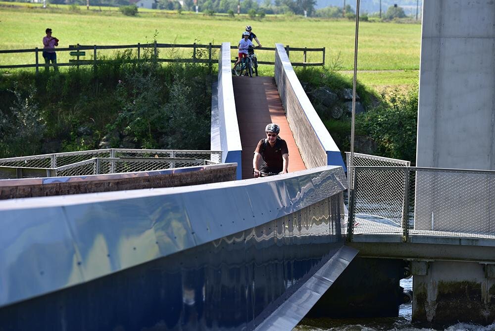
Schwimmende Murbrücke | © Erlebnisregion Murtal | Team Erlebnisregion Murtal
3/4
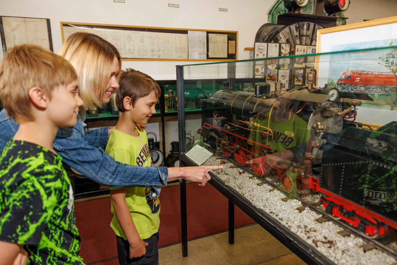
Eisenbahnmuseum Knittelfeld | © Erlebnisregion Murtal | Wolfgang Spekner
4/4

What the weather will be like Knittelfeld (645m)
Today, 16.10.2026
Some clouds in the morning, lateron much sunshine and hardly any cloudsMorning

5°C
sr.Regenwahrscheinlichkeit
0%
sr.Windstärke
0 km/h
Noon

15°C
sr.Regenwahrscheinlichkeit
0%
sr.Windstärke
5 km/h
Night
9°C
sr.Regenwahrscheinlichkeit
0%
sr.Windstärke
0 km/h
Tomorrow, 17.10.2026
Dry and partly sunny throughout the day, with cloudy periods from time to time.Morning
4°C
sr.Regenwahrscheinlichkeit
0%
sr.Windstärke
0 km/h
Noon

15°C
sr.Regenwahrscheinlichkeit
0%
sr.Windstärke
5 km/h
Night
11°C
sr.Regenwahrscheinlichkeit
0%
sr.Windstärke
0 km/h
Forecast
18.10.2026
7°C
16°C
19.10.2026
6°C
16°C
20.10.2026
6°C
15°C
