


Hölzlkogel from Rothenthurm
Characteristics
SkillThe tour in numbers
Level of difficulty
medium
Route
11,8 km
Time
5:30 h
Uphill
470 hm
Downhill
470 hm
Highest point
1194 m
From the valley to the mountain - a leisurely and secluded hike along forest roads through the small Feistritzgraben and across the alpine pastures to the Hölzlkogel.
The village of Rothenthurm is located directly on the busy Bundesstraße 317 and belongs to the municipality of St. Peter ob Judenburg. Many hikers only know the municipality from passing through, but it is well worth stopping here and spending a day in the Murtal region. It is historically interesting that from the 15th century onwards, iron was processed in the Feistritzgraben (which we partly hike through) and the nearby Möschitzgraben, and tools, weapons, sheet metal, bows, crossbows and wires were produced. At the starting point of the hike in Rothenthurm is the Rothenthurm Castle of the same name. The original name "Turm zu Feistritz" dates back to the 13th century and was renamed "Rottaler Turm" in the 16th century due to the ownership of the Rottal family. In 1797, a prominent guest, Napoleon Bonaparte, stayed at the castle for a short time. Today, the castle is privately owned, but is made available to the public for various events.
Best season
January
February
March
April
May
June
July
August
September
October
November
December
More information
Von St. Michael in Obersteiermark über die S36 (42 km, ca. 25 Minuten)
Im Ort sind neben der Feuerwehr mehrere Parkplätze vorhanden.
Von Murau über die B96 und B317 (42 km, ca. 30 Minuten)
Im Ort sind neben der Feuerwehr mehrere Parkplätze vorhanden.
We start in the village center of Rothenthurm (1), 742 m, and follow the yellow signposts in the direction of Hölzlkogel, trail no. 45. We walk leisurely into the valley for about 1 km before turning left at the crossroads in the direction of Feistritzgraben no. 6 - 18. On the asphalt road along the small Feistritzgraben, we walk comfortably uphill past a few houses. We soon continue on a gravel road through the forest, where the red-white-red markings and yellow signposts make orientation easy. At an altitude of approx. 1000 meters we come to a large alpine pasture, where we have a very beautiful view. At the next crossroads (2), 1108 m, we see another yellow signpost in the direction of Seetalstraße and Judenburg with trail number 313. We turn left and shortly afterwards come to another crossroads where we continue left to the Hölzlkogel. A little further along the forest road and then uphill to the right, along a path through the forest, until we reach the summit area of the Hölzlkogel (3), 1194 m, with a cross and a bench. The descent is via the ascent route.
A few tips for correct and fair behavior in the forest: (Source: www.bundesforste.at - 6/2021)
- Hikers should avoid visits to the forest about 1.5 hours before sunrise and after sunset, as wildlife is especially active during this time.
- Plastic bottles, handkerchiefs, cigarette butts & Co have no place in the forest! Please make sure that you do not leave any trash in the forest.
- Camping and making fire - is strictly forbidden in the forest!
- In principle, each person is allowed to collect 2 kg of mushrooms and berries per day for personal use in the forest. It is only forbidden if the forest owner expressly forbids it.
Alpine emergency call:
Mountain rescue emergency number: 140
EU emergency number: 112
Weather service: www.zamg.ac.at
Direct link mountain weather Styria: https://www.zamg.ac.at/cms/de/wetter/produkte-und-services/bergwetter/steiermark
- Backpack with rain cover
- Telescopic / hiking poles
- Mountain / hiking boots
- Gloves: waterproof and warming
- Headgear / sunglasses
- Outerwear: Onion layer system, T-shirt, sweater, jacket and winter jacket with hood
- Hiking pants
- Seat pad
- Drinking bottle / thermos flask (on cooler days a warming drink is pleasant)
- Snack
- First aid kit with blister plaster and tick tongs
Other important equipment
- Route descriptionDetailed
- plan of the hike
- Hiking map: For overview a map in scale 1 : 50 000 of the respective region
- GPS device
- cell phone
If you want to extend the hike, you can continue on to the Hohe Ranach. You can find the tour details under: Hohe Ranach from Rothenthurm
Mit Zug bis Judenburg und Bus nach Rothenthurm.
Den genauen Fahrplan und eine allgemeine Auskunft über die Öffentlichen Verkehrsmittel in der Region: www.verbundlinie.at
Einkehrmöglichkeiten in der Nähe - St.Peter ob Judenburg:
Gasthaus Stocker, Tel.: +43 3579 2210, Furth 16, 8755 Furth www.gasthausstocker.at
Gasthaus Messner, Tel.: +43 3579 2207, Möschitzstraße 1, 8755 St.Peter,
Treffpunkt Liebminger, Tel.: +43 664 2223058, Triesterstraße 13, 8755 Rothenthurm, (Busterminal Tieber)
Freytag & Berndt (2017): Seetaler Alpen, Seckauer Alpen, Judenburg, Knittelfeld. WK 212 Wander-, Rad-, Freizeitkarte; 1 : 50 000 C. und M. Hlatky, (2017): Murtal – Rund um Spielberg – Seetaler Alpen und Seckauer Alpen. Kral Verlag, S. 160Map & downloads
Gallery
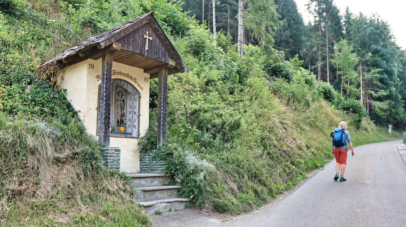
Kapelle am Wegrand | © Weges OG | Weges OG
1/9
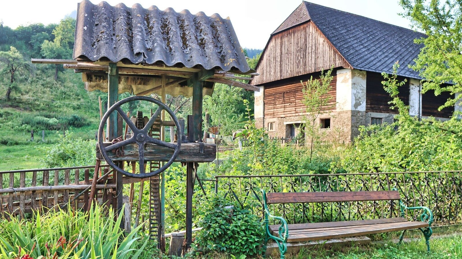
Rastplatz gleich am Beginn der Wanderung | © Weges OG | Weges OG
2/9
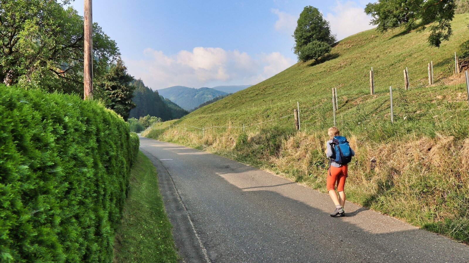
Durch den Kleinen Feistritzgraben führt der Weg zuerst über eine Asphaltstraße | © Weges OG | Weges OG
3/9
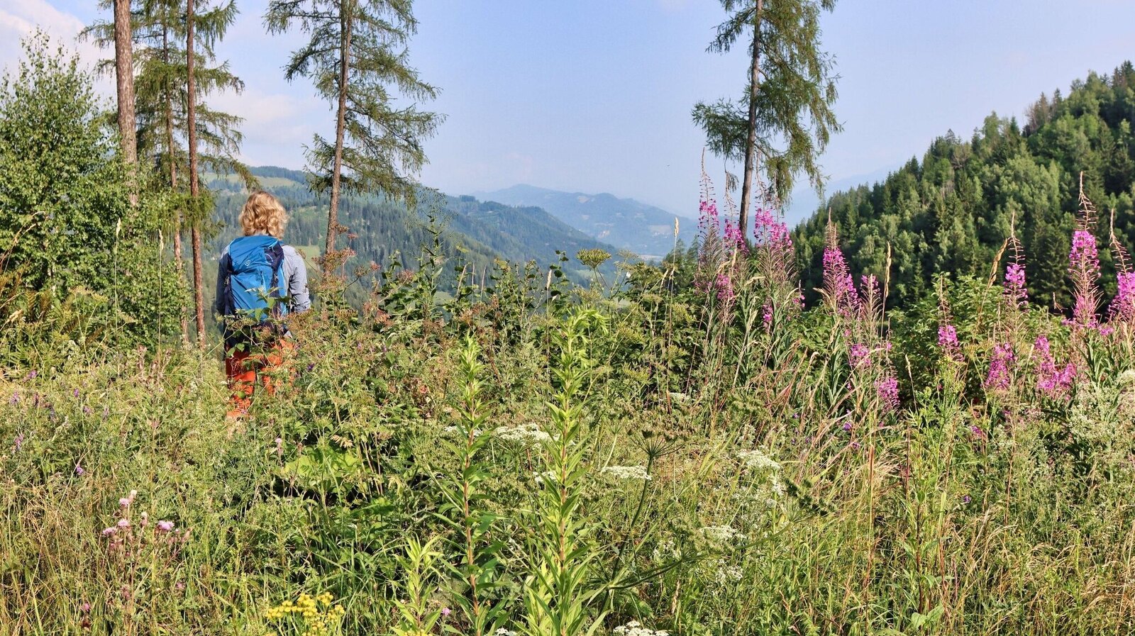
Immer wieder schöne Ausblicke unterwegs | © Weges OG | Weges OG
4/9
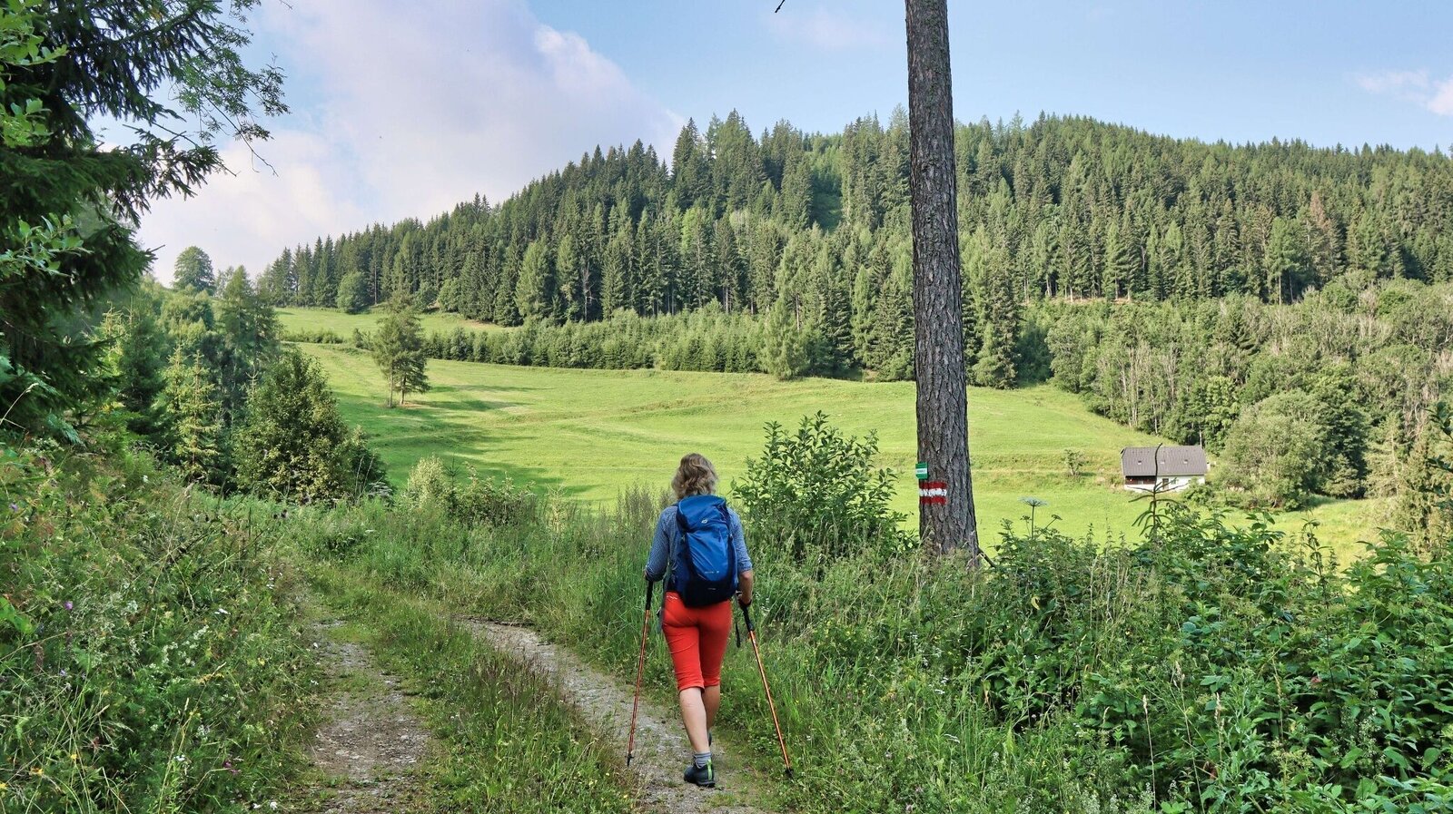
Wir wandern über Wiesenflächen | © Weges OG | Weges OG
5/9
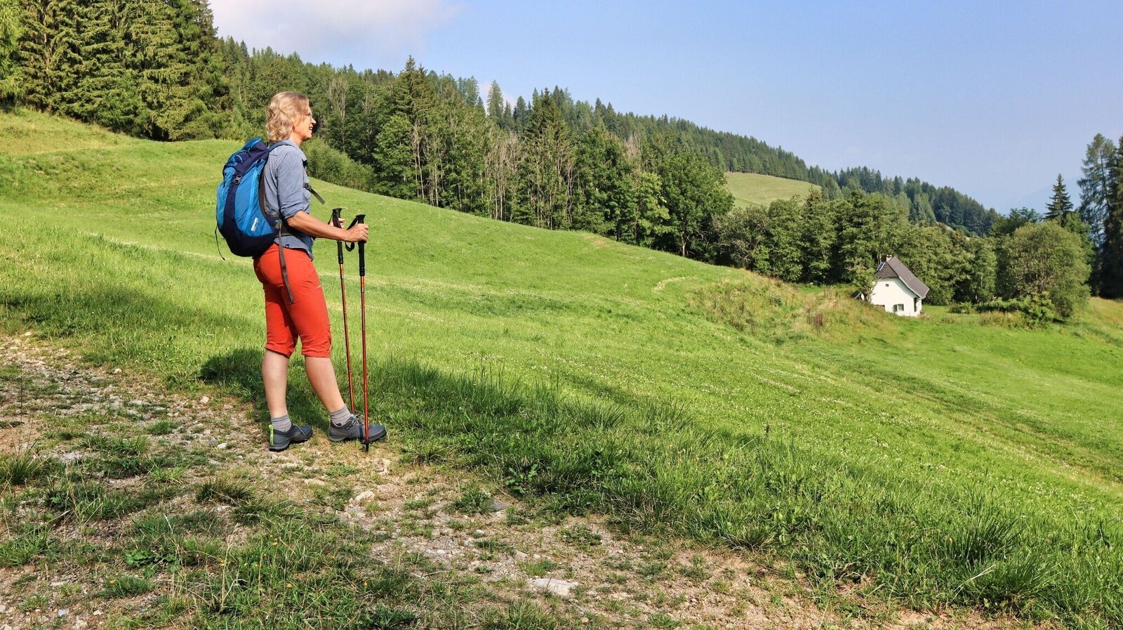
Stimmung am Weg | © Weges OG | Weges OG
6/9
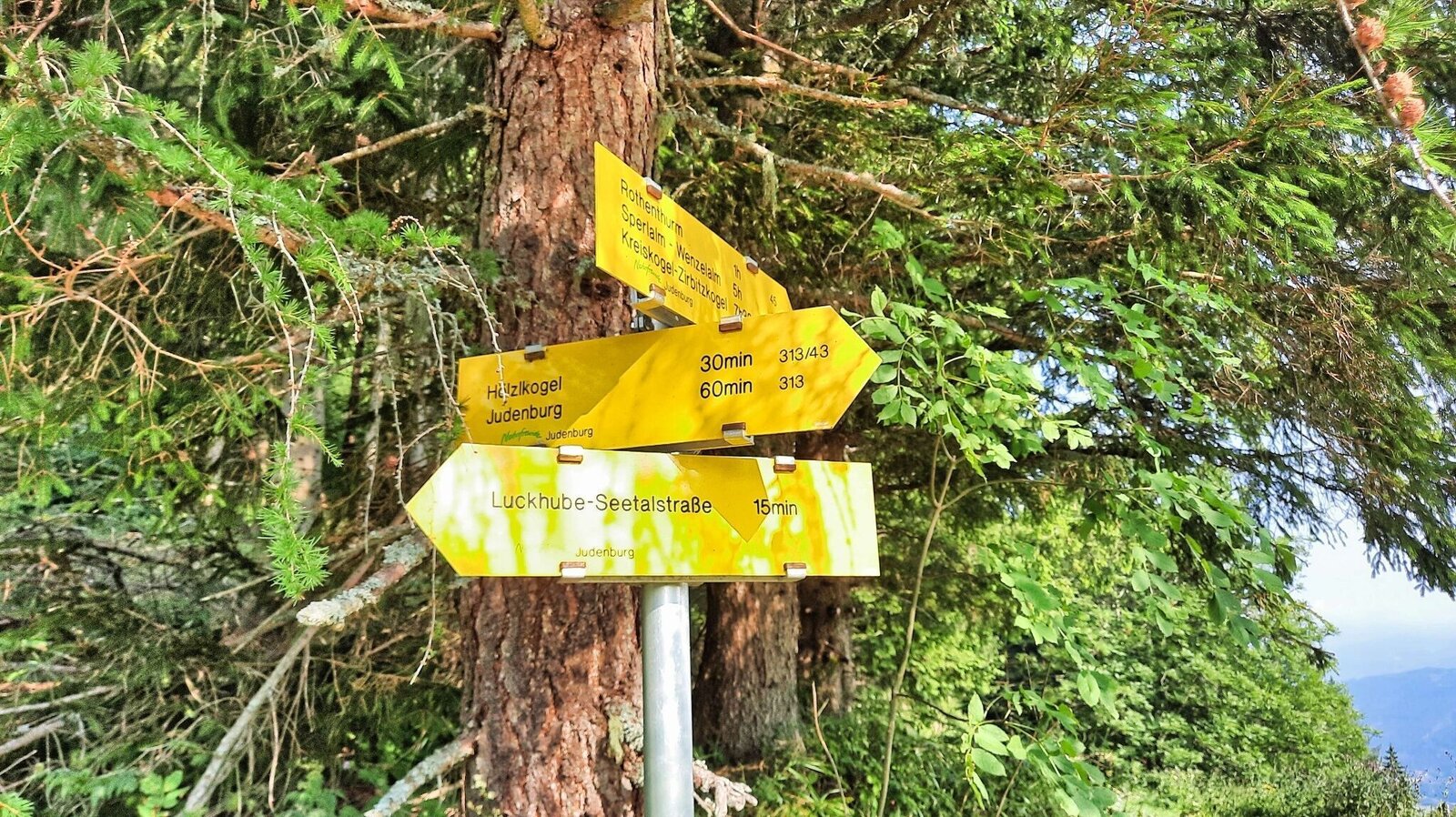
Hier führen mehrere Wege zusammen | © Weges OG | Weges OG
7/9
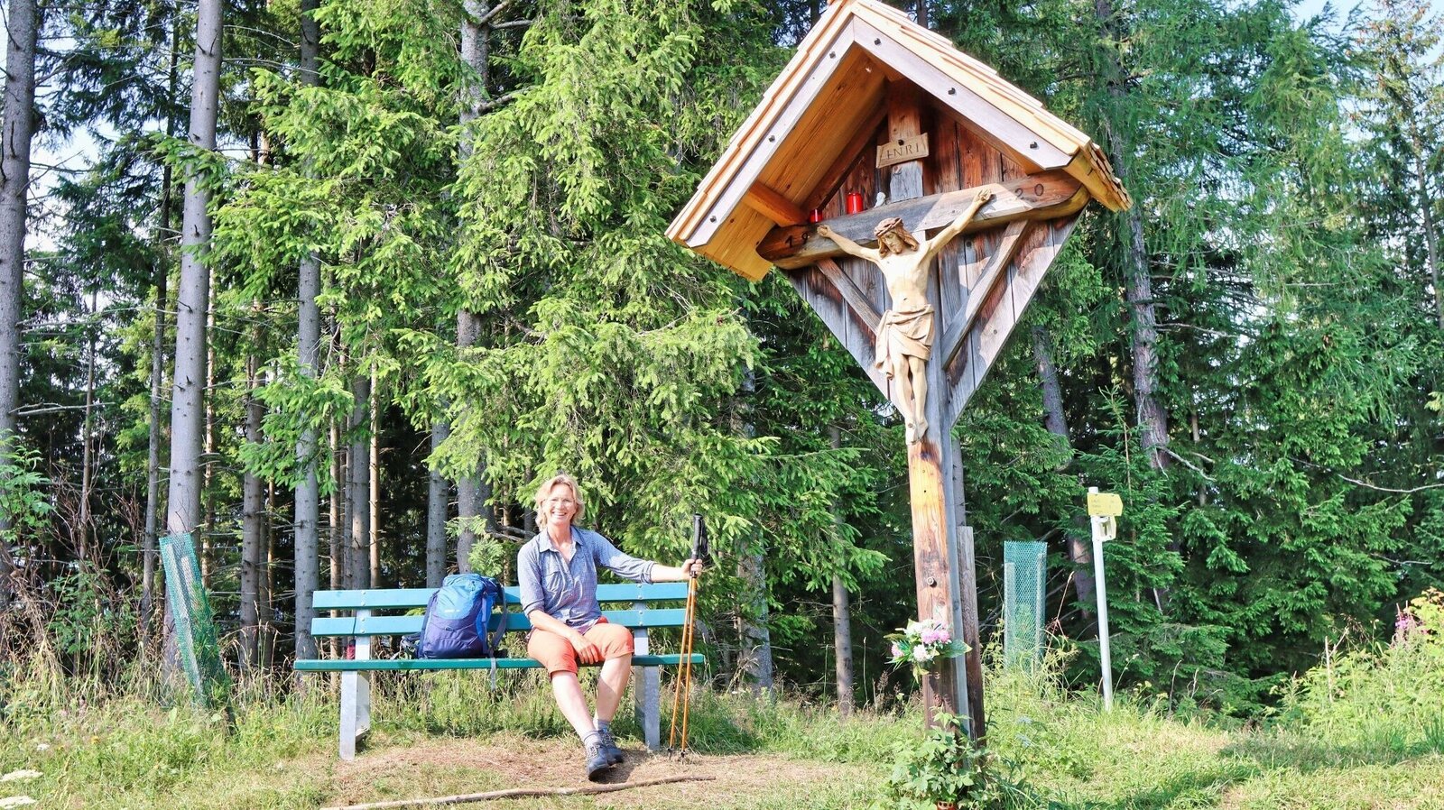
Ziel errreicht - der Hölzlkogel, 1194 m | © Weges OG | Weges OG
8/9
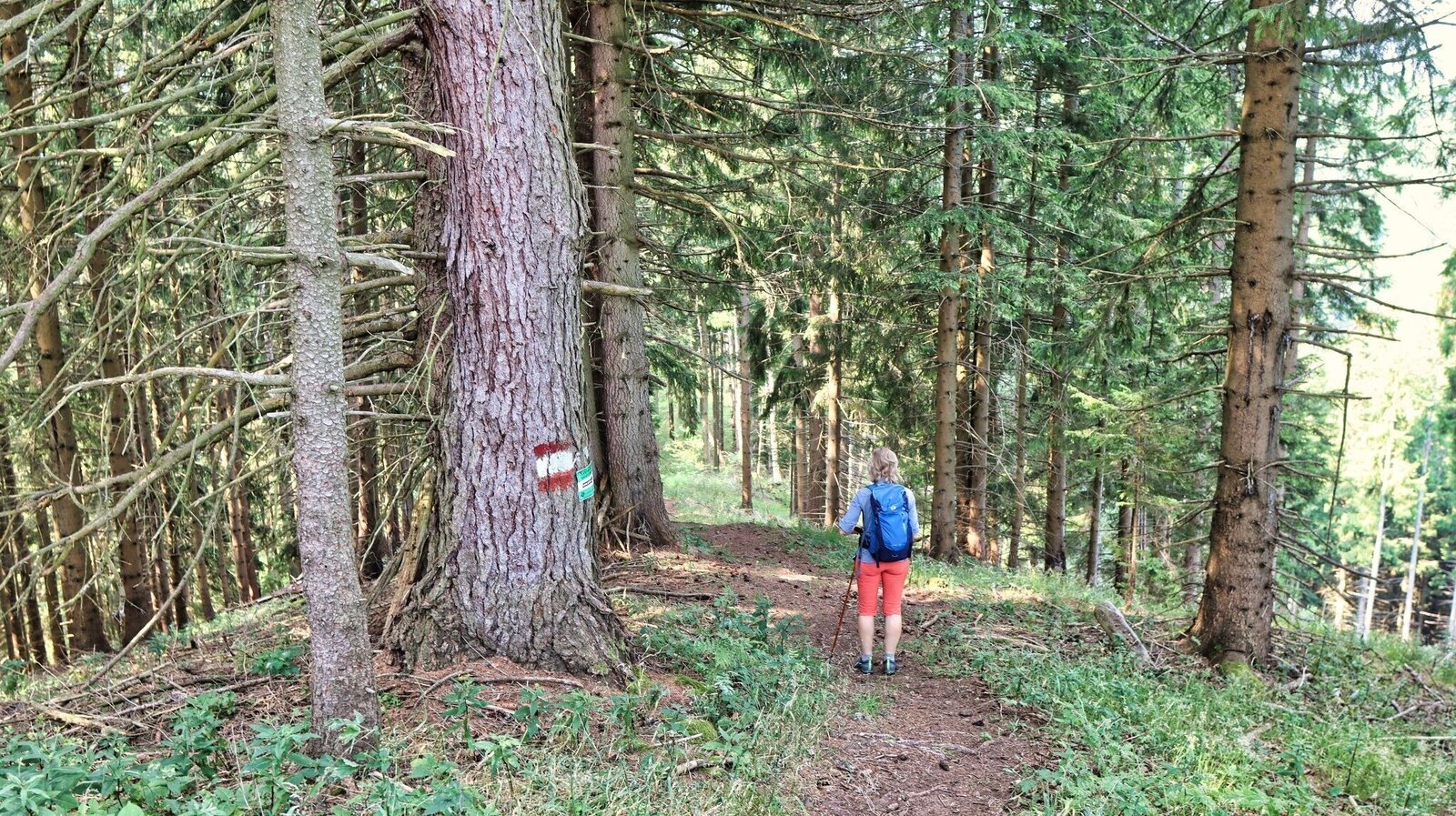
Der letzte Teil bis zum Gipfel ist etwas steiler | © Weges OG | Weges OG
9/9

What the weather will be like St. Peter ob Judenburg (743m)
Today, 12.10.2026
Showers will die away soon to leave a partly sunny day.Morning

7°C
sr.Regenwahrscheinlichkeit
40%
sr.Windstärke
0 km/h
Noon

13°C
sr.Regenwahrscheinlichkeit
20%
sr.Windstärke
5 km/h
Night
7°C
sr.Regenwahrscheinlichkeit
5%
sr.Windstärke
5 km/h
Tomorrow, 13.10.2026
Some clouds in the morning, lateron much sunshine and hardly any cloudsMorning
2°C
sr.Regenwahrscheinlichkeit
0%
sr.Windstärke
5 km/h
Noon

13°C
sr.Regenwahrscheinlichkeit
0%
sr.Windstärke
5 km/h
Night
7°C
sr.Regenwahrscheinlichkeit
0%
sr.Windstärke
5 km/h
Forecast
13.10.2026
2°C
15°C
14.10.2026

3°C
16°C
15.10.2026
4°C
18°C
