


Hohenwart
The tour in numbers
Level of difficulty
medium
Route
15,6 km
Time
6:00 h
Uphill
1050 hm
Downhill
1050 hm
Highest point
2363 m
“The sublime": The hike to the “Hohenwart in Pusterwald” starts in Hinterwinkel and leads through the dense forest to the Pölsenhütte. Via steep sections and idyllic ponds, you finally reach the summit of the Hohenwart. The tour ends with a magnificent view of the Fischsee lake. The same trail leads you back, leaving nature lovers in awe.
The hike begins after the village of Pusterwald in Hinterwinkel, near the Hainzl farmstead. Follow the forest path in the direction of the unmanaged Pölsenhütte. The path initially leads through a denser section of forest, and soon you have your destination, the Hohenwart, in sight. At the first fork on the left, you reach a wood storage area. If you continue straight ahead, you will cross a bridge. The path becomes increasingly steeper and leads over further bridges to the alpine pasture where the Pölsenhütte is located. Along the way, you will discover an impressive variety of plants in the herb layer.
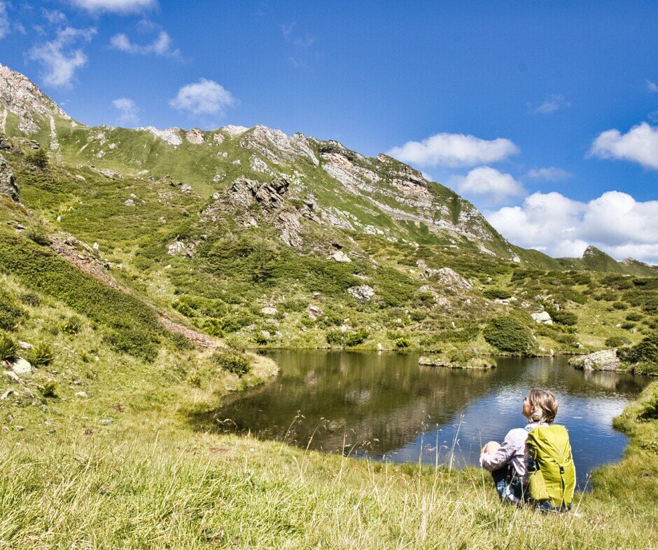
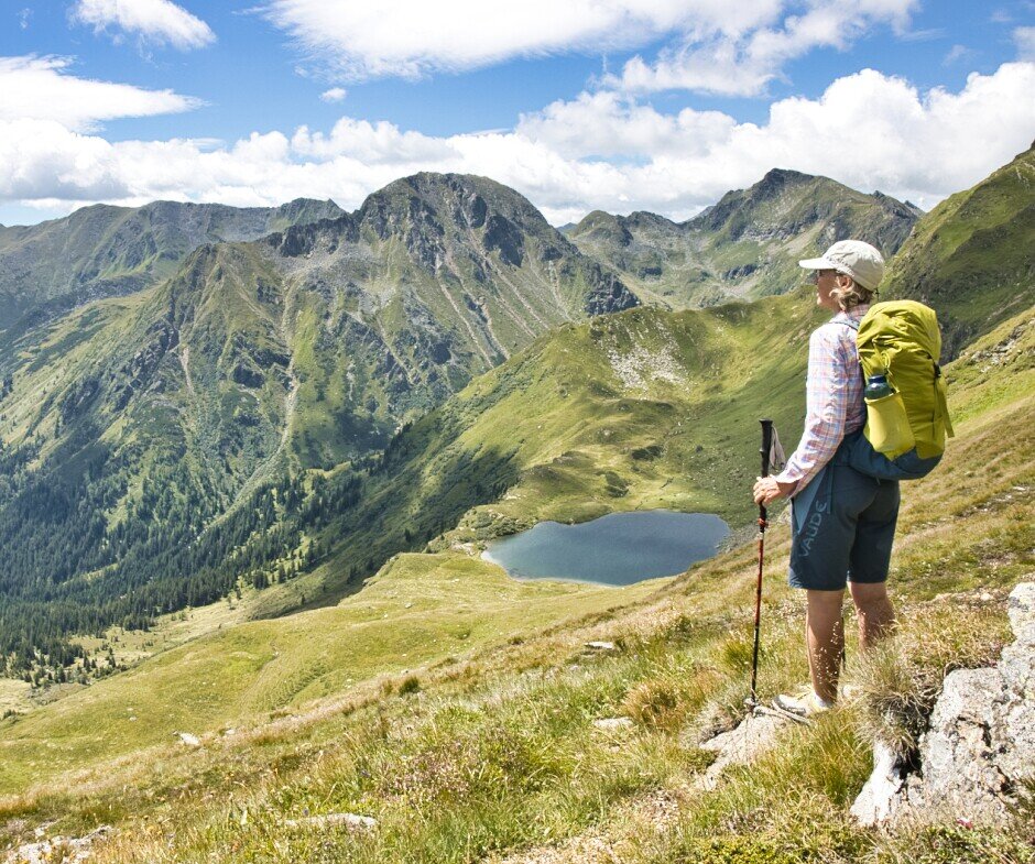
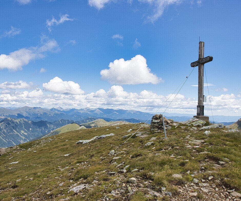
From the Pölsenhütte, the trail continues on a footpath marked in red and white. After a somewhat steeper section, you reach the cirque where the young cattle stay in summer. Keep left, pass larger and smaller ponds and reach another crossing. The trail continues in serpentines up to the Pölseckjoch. From there you can see the Fischsee lake to the south-east. Continue to the right, following the markings, to the summit of the Hohenwart. Return via the same route.
From the Pölsenhütte, the trail continues on a footpath marked in red and white. After a somewhat steeper section, you reach the cirque where the young cattle stay in summer. Keep left, pass larger and smaller ponds and reach another crossing. The trail continues in serpentines up to the Pölseckjoch. From there you can see the Fischsee lake to the south-east. Continue to the right, following the markings, to the summit of the Hohenwart. Return via the same route.
Best season
January
February
March
April
May
June
July
August
September
October
November
December
More information
By car:
From Vienna (approx. 2.5 hours):
Take the A2 towards Graz
Take the S36 towards Judenburg
B78 to Judenburg, then B114 to Pusterwald
From Graz (approx. 1.5 hours):
Via the A9 towards Linz
Take the S36 towards Judenburg
B78 to Judenburg, then B114 to Pusterwald
From Salzburg (approx. 2.5 hours):
Via the A10 towards Villach
B96 direction Tamsweg, then B97 direction Murau
B114 to Pusterwald
From Vienna (approx. 2.5 hours):
Take the A2 towards Graz
Take the S36 towards Judenburg
B78 to Judenburg, then B114 to Pusterwald
From Graz (approx. 1.5 hours):
Via the A9 towards Linz
Take the S36 towards Judenburg
B78 to Judenburg, then B114 to Pusterwald
From Salzburg (approx. 2.5 hours):
Via the A10 towards Villach
B96 direction Tamsweg, then B97 direction Murau
B114 to Pusterwald
From the Hinterwinkel parking lot in Pusterwald, our hike follows the signs to the unmanaged Pölsenhütte via forest roads upwards. From the Pölsenhütte, follow the signposted ascent to the Pölseneckjoch. From the Pölseneckjoch, continue along the Grad to the Hohenwart. Return via the same route.
There are a few rules to follow to ensure conflict-free coexistence on alpine pastures and meadows, especially when out and about with dogs. (Source: www.sichere-almen.at - 06/2021)
Kontakt zum Weidevieh vermeiden, Tiere nicht füttern, sicheren Abstand halten!
Ruhig verhalten, Weidevieh nicht erschrecken!
Mutterkühe beschützen ihre Kälber. Begegnung von Mutterkühen und Hunden vermeiden!
Hunde immer unter Kontrolle halten und an der kurzen Leine führen. Ist ein Angriff durch ein Weidetier abzusehen: Sofort ableinen!
Wanderwege auf Almen und Weiden nicht verlassen!
Wenn Weidevieh den Weg versperrt, mit möglichst großem Abstand umgehen!
Bei Herannahen von Weidevieh: Ruhig bleiben, nicht den Rücken zukehren, den Tieren ausweichen!
Schon bei ersten Anzeichen von Unruhe der Tiere Weidefläche zügig verlassen!
Zäune sind zu beachten! Falls es ein Tor gibt, dieses nutzen, danach wieder gut schließen und Weide zügig queren!
Begegnen Sie den hier arbeitenden Menschen, der Natur und den Tieren mit Respekt!
Ein paar Tipps zum richtigen und fairen Verhalten im Wald: (Quelle: www.bundesforste.at – 6/2021)
Hikers should avoid visiting the forest approx. 1.5 hours before sunrise and after sunset, as wild animals are particularly active at this time.
Plastic bottles, handkerchiefs, cigarette butts etc. have no place in the forest! Please make sure that you do not leave any garbage in the forest.
Camping and lighting fires is strictly forbidden in the forest!
In principle, every person in the forest is allowed to collect 2 kg of mushrooms and berries per day for their own use. It is only prohibited if the forest owner expressly forbids it.
Alpine emergency call:
Mountain rescue emergency number: 140
EU emergency number: 112
Weather service: www.zamg.ac.at
Direct link mountain weather Styria: https://www.zamg.ac.at/cms/de/wetter/produkte-und-services/bergwetter/steiermark
Backpack with rain cover
Telescopic / hiking poles
Mountain / hiking boots
Gloves: waterproof and warming
Headgear / sunglasses
Outerwear: Onion layer system, T-shirt, sweater, jacket and winter jacket with hood
Hiking pants
Seat pad
Water bottle / thermos flask (on cooler days a warming drink is pleasant)
Snack or snack
First aid kit with blister plasters and tick tweezers
Other important items of equipment
Route description
Detailed plan of the hike
Hiking map: For an overview, a 1 : 50,000 scale map of the respective region
GPS device
cell phone
-
More information at www.murtal.at/wandern
Map & downloads
Gallery
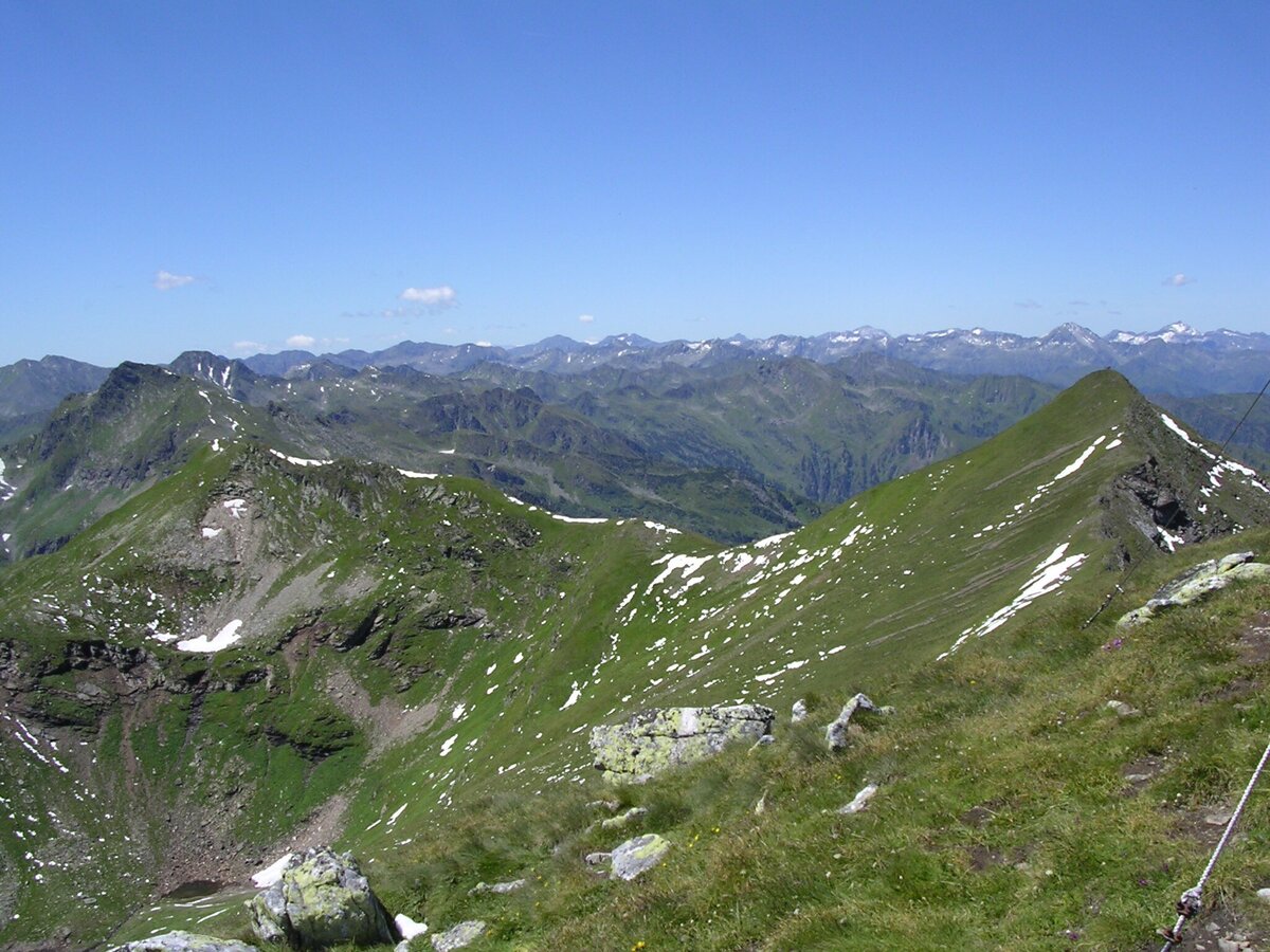
Hohenwart 14.7.2007 (19).JPG | © Erlebnisregion Murtal | Erlebnisregion Murtal
1/7
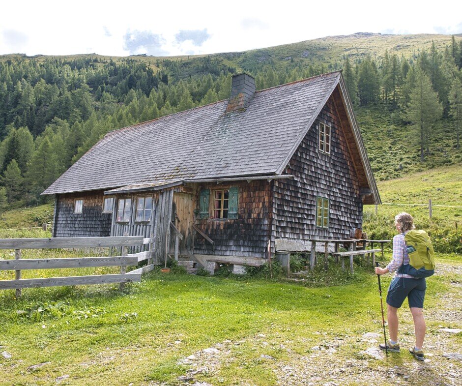
hohewnwart_cweges_16.jpg | © WEGES OG | WEGES OG
2/7
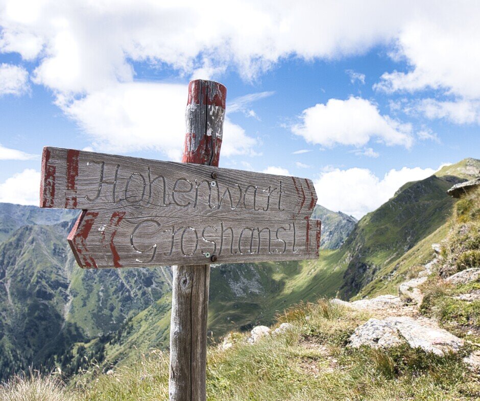
hohewnwart_cweges_2.jpg | © WEGES OG | WEGES OG
3/7
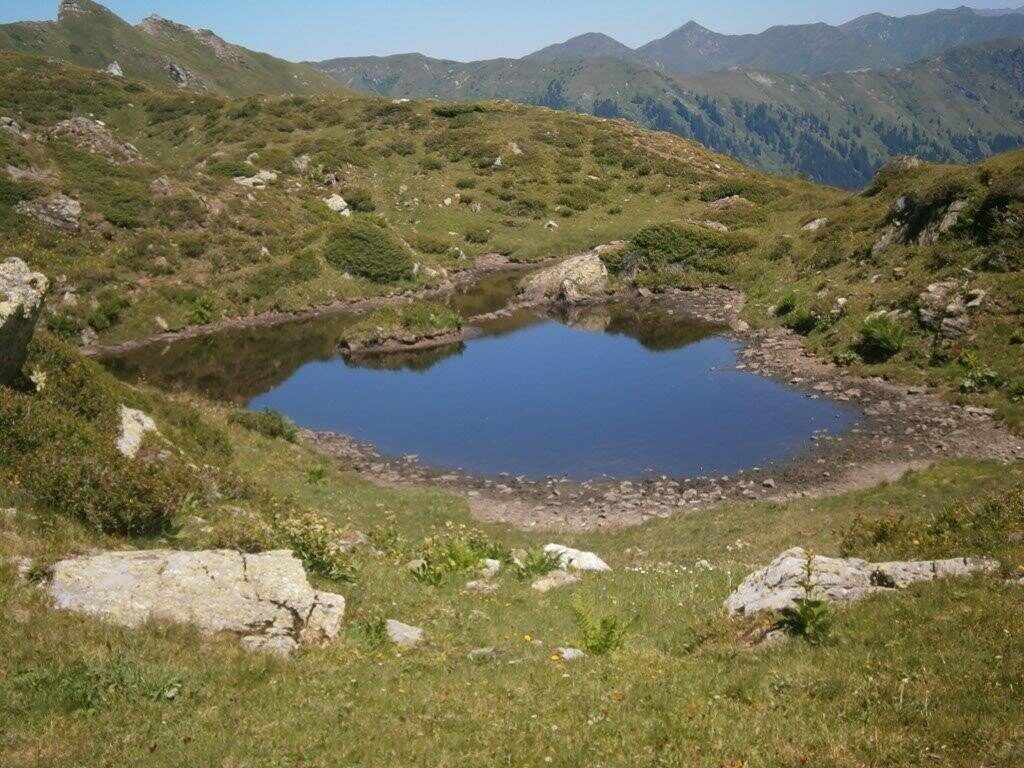
28.7.2013 - Hohenwart (88).jpg | © Erlebnisregion Murtal | Erlebnisregion Murtal
4/7
hohewnwart_cweges_13.jpg | © WEGES OG | WEGES OG
5/7
hohewnwart_cweges_3.jpg | © WEGES OG | WEGES OG
6/7
hohewnwart_cweges_5.jpg | © WEGES OG | WEGES OG
7/7

What the weather will be like Pusterwald (1072m)
Today, 02.10.2026
Dry and partly sunny throughout the day, with cloudy periods from time to time.Morning

6°C
sr.Regenwahrscheinlichkeit
0%
sr.Windstärke
0 km/h
Noon

17°C
sr.Regenwahrscheinlichkeit
0%
sr.Windstärke
5 km/h
Night
10°C
sr.Regenwahrscheinlichkeit
0%
sr.Windstärke
0 km/h
Tomorrow, 03.10.2026
Dry and sunny throughout the day with hardly any clouds.Morning

4°C
sr.Regenwahrscheinlichkeit
0%
sr.Windstärke
0 km/h
Noon
17°C
sr.Regenwahrscheinlichkeit
0%
sr.Windstärke
5 km/h
Night
9°C
sr.Regenwahrscheinlichkeit
0%
sr.Windstärke
5 km/h
Forecast
04.10.2026
3°C
19°C
05.10.2026
6°C
19°C
06.10.2026
6°C
20°C
